world.wikisort.org - USA
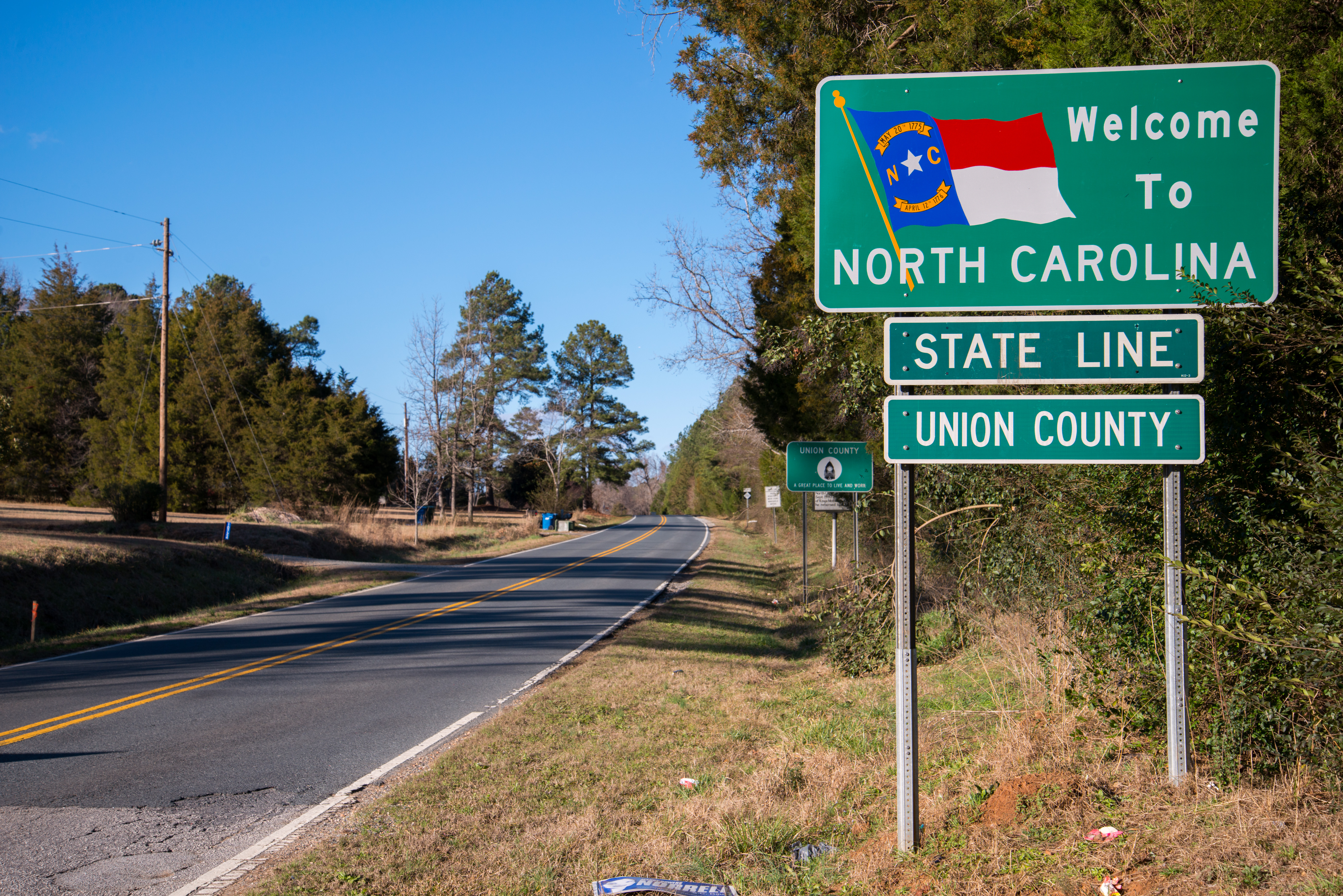
Union County is a county located in the U.S. state of North Carolina. As of the 2020 census, the population was 238,267.[2] Its county seat is Monroe.[3] Union County is included in the Charlotte-Concord-Gastonia, NC-SC Metropolitan Statistical Area.
Union County | |
|---|---|
U.S. county | |
 Union County Courthouse in 2017 | |
 Flag  Seal Logo | |
| Motto: "Plant your future." | |
 Location within the U.S. state of North Carolina | |
 North Carolina's location within the U.S. | |
| Coordinates: 34°59′N 80°32′W | |
| Country | |
| State | |
| Founded | 1842 |
| Named for | Compromise name that both Democrats and Whigs agreed on[1] |
| Seat | Monroe |
| Largest town | Indian Trail |
| Area | |
| • Total | 640 sq mi (1,700 km2) |
| • Land | 632 sq mi (1,640 km2) |
| • Water | 8.0 sq mi (21 km2) 1.3% |
| Population | |
| • Estimate (2021) | 243,648 |
| • Density | 385.5/sq mi (148.8/km2) |
| Time zone | UTC−5 (Eastern) |
| • Summer (DST) | UTC−4 (EDT) |
| Congressional districts | 8th |
| Website | www |
History
The county was formed in 1842 from parts of Anson County and Mecklenburg County. Its name was a compromise between Whigs, who wanted to name the new county for Henry Clay, and Democrats, who wanted to name it for Andrew Jackson. The Helms, Starnes, McRorie, and Belk families were prominent in the town as well as Monroe and Charlotte. Most of these families came from Goose Creek Township.
Monroe, the county seat of Union County, also became a focal point during the Civil Rights Movement. In 1958, local NAACP Chapter President Robert F. Williams defended a nine-year-old African-American boy who had been kissed by a white girl in an incident known as the Kissing Case. A second African-American boy, aged seven, was also convicted and sentenced to live in a juvenile reformatory until he was 21 for simply witnessing the act.
Geography

According to the U.S. Census Bureau, the county has a total area of 640 square miles (1,700 km2), of which 632 square miles (1,640 km2) is land and 8.0 square miles (21 km2) (1.3%) is water.[4]
State and local protected areas
Major water bodies
- Beaverdam Creek (Lanes Creek tributary)
- Crooked Creek (Rocky River tributary)
- Lake Lee[7]
- Lake Monroe[7]
- Lake Twitty[7]
- Lanes Creek (Rocky River tributary)
- Lynches River
- Rocky River
Adjacent counties
- Cabarrus County - north
- Stanly County - northeast
- Anson County - east
- Chesterfield County, South Carolina - southeast
- Lancaster County, South Carolina - southwest
- Mecklenburg County - northwest
Major highways
 US 74
US 74 US 74 Toll (Monroe Expressway)
 US 601
 NC 16
NC 16 NC 75
NC 75 NC 84
NC 84 NC 200
 NC 205
 NC 207
 NC 218
 NC 522
 NC 742
Major Infrastructure
Demographics
| Historical population | |||
|---|---|---|---|
| Census | Pop. | %± | |
| 1850 | 10,051 | — | |
| 1860 | 11,202 | 11.5% | |
| 1870 | 12,217 | 9.1% | |
| 1880 | 18,056 | 47.8% | |
| 1890 | 21,259 | 17.7% | |
| 1900 | 27,156 | 27.7% | |
| 1910 | 33,277 | 22.5% | |
| 1920 | 36,029 | 8.3% | |
| 1930 | 40,979 | 13.7% | |
| 1940 | 39,097 | −4.6% | |
| 1950 | 42,034 | 7.5% | |
| 1960 | 44,670 | 6.3% | |
| 1970 | 54,714 | 22.5% | |
| 1980 | 70,380 | 28.6% | |
| 1990 | 84,211 | 19.7% | |
| 2000 | 123,677 | 46.9% | |
| 2010 | 201,292 | 62.8% | |
| 2020 | 238,267 | 18.4% | |
| 2021 (est.) | 243,648 | [10] | 2.3% |
| U.S. Decennial Census[11] 1790-1960[12] 1900-1990[13] 1990-2000[14] 2020[15] | |||
2020 census
| Race | Number | Percentage |
|---|---|---|
| White (non-Hispanic) | 161,113 | 67.62% |
| Black or African American (non-Hispanic) | 26,500 | 11.12% |
| Native American | 641 | 0.27% |
| Asian | 9,516 | 3.99% |
| Pacific Islander | 90 | 0.04% |
| Other/Mixed | 10,297 | 4.32% |
| Hispanic or Latino | 30,110 | 12.64% |
As of the 2020 United States census, there were 238,267 people, 77,954 households, and 62,932 families residing in the county.
2010 census
As of the census[17] of 2010, there were 201,292 people, 67,864 households, and 54,019 families residing in the county. The population density was 194 people per square mile (75/km2). There were 45,695 housing units at an average density of 31.4 per square mile (12.3/km2). The racial makeup of the county was 79.0% White, 11.7% Black or African American, 0.4% Native American, 1.6% Asian, 0.03% Pacific Islander, 5.3% from other races, and 1.9% from two or more races. 10.4% of the population were Hispanic or Latino of any race.
There were 67,864 households, out of which 42.1% had children under the age of 18 living with them, 64.60% were married couples living together, and 10.70% had a female householder with no husband present. 6.10% had someone living alone who was 65 years of age or older. The average household size was 2.94 and the average family size was 3.3.
In the county, the population was spread out, with 32.90% under the age of 20, 4.7% from 20 to 24, 27.7% from 25 to 44, 25.2% from 45 to 64, and 9.6% who were 65 years of age or older. The median age was 36.2 years. The population was 49.4% male. Northern Union County has the southern foothills of the Uwharrie Mountains
Government and politics
In the early through mid-twentieth century, Union County was a firm "Solid South" Democratic county. Union County remained traditionally "Solid South" until after the Civil Rights Movement. The first Republican to win the county was Richard Nixon[18] with less than forty percent of the vote in a three-way race in 1968. Following Nixon's election, the trend towards liberalism in the Democratic Party has turned Union County into a strongly Republican county since the late twentieth century. The last Democrat to win Union County was Jimmy Carter in 1980, and since then, no Democrat has won more than 38 percent of the county's vote.
| Year | Republican | Democratic | Third party | |||
|---|---|---|---|---|---|---|
| No. | % | No. | % | No. | % | |
| 2020 | 80,382 | 61.36% | 48,725 | 37.19% | 1,904 | 1.45% |
| 2016 | 66,707 | 63.10% | 34,337 | 32.48% | 4,666 | 4.41% |
| 2012 | 61,107 | 64.51% | 32,473 | 34.28% | 1,148 | 1.21% |
| 2008 | 54,123 | 62.87% | 31,189 | 36.23% | 777 | 0.90% |
| 2004 | 42,820 | 70.20% | 17,974 | 29.47% | 207 | 0.34% |
| 2000 | 31,876 | 67.59% | 14,890 | 31.57% | 395 | 0.84% |
| 1996 | 18,802 | 57.03% | 11,525 | 34.96% | 2,643 | 8.02% |
| 1992 | 16,542 | 51.71% | 10,789 | 33.72% | 4,661 | 14.57% |
| 1988 | 17,015 | 65.71% | 8,820 | 34.06% | 61 | 0.24% |
| 1984 | 16,885 | 70.45% | 7,048 | 29.41% | 35 | 0.15% |
| 1980 | 9,012 | 45.77% | 10,073 | 51.16% | 603 | 3.06% |
| 1976 | 6,184 | 36.72% | 10,578 | 62.81% | 78 | 0.46% |
| 1972 | 10,264 | 71.60% | 3,886 | 27.11% | 186 | 1.30% |
| 1968 | 5,290 | 38.67% | 3,630 | 26.53% | 4,761 | 34.80% |
| 1964 | 4,229 | 36.98% | 7,208 | 63.02% | 0 | 0.00% |
| 1960 | 4,030 | 35.28% | 7,393 | 64.72% | 0 | 0.00% |
| 1956 | 3,362 | 34.50% | 6,383 | 65.50% | 0 | 0.00% |
| 1952 | 3,790 | 33.82% | 7,416 | 66.18% | 0 | 0.00% |
| 1948 | 738 | 14.35% | 3,407 | 66.23% | 999 | 19.42% |
| 1944 | 1,114 | 16.28% | 5,729 | 83.72% | 0 | 0.00% |
| 1940 | 634 | 8.11% | 7,179 | 91.89% | 0 | 0.00% |
| 1936 | 601 | 7.44% | 7,480 | 92.56% | 0 | 0.00% |
| 1932 | 710 | 10.33% | 6,103 | 88.84% | 57 | 0.83% |
| 1928 | 2,448 | 46.29% | 2,840 | 53.71% | 0 | 0.00% |
| 1924 | 672 | 19.62% | 2,721 | 79.45% | 32 | 0.93% |
| 1920 | 1,404 | 25.20% | 4,168 | 74.80% | 0 | 0.00% |
| 1916 | 702 | 20.84% | 2,662 | 79.04% | 4 | 0.12% |
| 1912 | 92 | 3.91% | 1,786 | 75.87% | 476 | 20.22% |
| 1908 | 834 | 29.13% | 2,029 | 70.87% | 0 | 0.00% |
| 1904 | 379 | 23.99% | 1,181 | 74.75% | 20 | 1.27% |
| 1900 | 864 | 32.29% | 1,790 | 66.89% | 22 | 0.82% |
| 1896 | 1,009 | 26.70% | 2,747 | 72.69% | 23 | 0.61% |
| 1892 | 572 | 17.88% | 1,798 | 56.19% | 830 | 25.94% |
| 1888 | 879 | 29.68% | 2,067 | 69.78% | 16 | 0.54% |
| 1884 | 627 | 25.35% | 1,846 | 74.65% | 0 | 0.00% |
| 1880 | 824 | 35.21% | 1,516 | 64.79% | 0 | 0.00% |
Union County is a member of the regional Centralina Council of Governments.[20]
Education
- South Piedmont Community College
- Central Academy of Technology and Arts
- Cuthbertson High School
- Forest Hills High School
- Marvin Ridge High School
- Monroe Charter Academy
- Monroe High School
- Parkwood High School
- Piedmont High School
- Porter Ridge High School
- Sun Valley High School
- Arborbrook Christian Academy
- Tabernacle Christian School
- Union County Early College
- Union Academy
- Weddington High School
- Wingate University
- Shiloh Elementary
Events
- Brooklandwood in Mineral Springs is the site of the Queens Cup Steeplechase, one of steeplechase horse racing's major annual events. The program consists of several races, and is held the last Saturday of April. The schedule of events also features a Jack Russell Terrier judging contest. Over 10,000 people typically attend the event.
- The Union County town of Marshville is the site of the Boll Weevil Festival, an annual street fair and carnival that takes place every fall.
Communities

City
- Monroe (county seat)
Towns
- Fairview
- Hemby Bridge
- Indian Trail (largest town)
- Marshville
- Mineral Springs
- Mint Hill
- Stallings
- Unionville
- Waxhaw
- Weddington
- Wingate
- Matthews
Villages
Census-designated place
Unincorporated communities
Ghost towns
- Gibraltar
Townships
See also
- List of counties in North Carolina
- National Register of Historic Places listings in Union County, North Carolina
- Brandon Oaks, North Carolina
References
- "Union County". www.ncpedia.org. Retrieved June 13, 2022.
- "U.S. Census Bureau QuickFacts: Union County, North Carolina". www.census.gov. Retrieved April 30, 2022.
- "Find a County". National Association of Counties. Retrieved June 7, 2011.
- "2010 Census Gazetteer Files". United States Census Bureau. August 22, 2012. Archived from the original on January 12, 2015. Retrieved January 20, 2015.
- "Mineral Springs Greenway". Carolina Thread Trail Map. Retrieved July 27, 2022.
- "Rocky River Blueway". Carolina Thread Trail Map. Retrieved July 27, 2022.
- "City of Monroe, NC > Departments > Water & Sewer > Lakes & Vegetative Buffers". www.monroenc.org. Retrieved July 27, 2022.
- "FAA Information about Goose Creek Airport (28A)". www.airport-data.com. Retrieved July 27, 2022.
- "AirNav: N52 - JAARS-Townsend Airport". www.airnav.com. Retrieved July 27, 2022.
- "U.S. Census Bureau QuickFacts: Union County, North Carolina". www.census.gov. Retrieved May 31, 2022.
- "U.S. Decennial Census". United States Census Bureau. Retrieved February 7, 2015.
- "Historical Census Browser". University of Virginia Library. Retrieved February 7, 2015.
- Forstall, Richard L., ed. (March 27, 1995). "Population of Counties by Decennial Census: 1900 to 1990". United States Census Bureau. Retrieved February 7, 2015.
- "Census 2000 PHC-T-4. Ranking Tables for Counties: 1990 and 2000" (PDF). United States Census Bureau. April 2, 2001. Archived (PDF) from the original on March 27, 2010. Retrieved February 7, 2015.
- "U.S. Census Bureau QuickFacts: Union County, North Carolina". www.census.gov. Retrieved May 31, 2022.
- "Explore Census Data". data.census.gov. Retrieved December 21, 2021.
- "U.S. Census website". United States Census Bureau. Retrieved January 31, 2008.
- Menendez, Albert J.; The Geography of Presidential Elections in the United States, 1868-2004, pp. 95-96 ISBN 0786422173
- Leip, David. "Dave Leip's Atlas of U.S. Presidential Elections". uselectionatlas.org. Retrieved March 17, 2018.
- "Centralina Council of Governments". Retrieved August 10, 2019.
External links
- Union County government official website
- Monroe-Union County Economic Development - Economic Development Agency
Places adjacent to Union County, North Carolina | ||||||||||||||||
|---|---|---|---|---|---|---|---|---|---|---|---|---|---|---|---|---|
| ||||||||||||||||
Municipalities and communities of Union County, North Carolina, United States | ||
|---|---|---|
County seat: Monroe | ||
| City |  | |
| Towns |
| |
| Villages | ||
| CDP | ||
| Other communities | ||
| Ghost town |
| |
| Footnotes | ‡This populated place also has portions in an adjacent county or counties | |
| ||
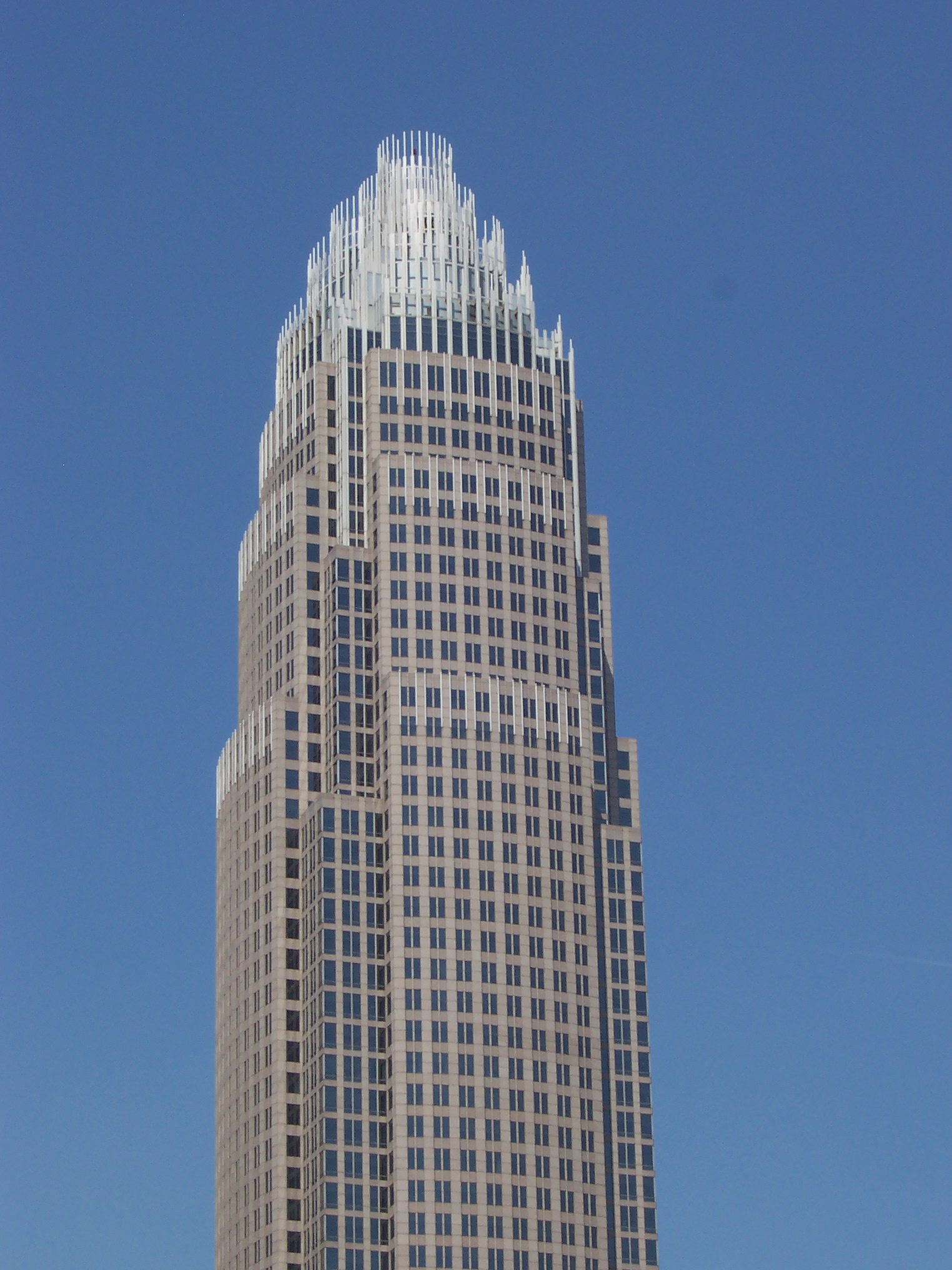
Charlotte metropolitan area | |||||||||||||
|---|---|---|---|---|---|---|---|---|---|---|---|---|---|
|  | ||||||||||||
|
| |||||||||||||
Authority control | |
|---|---|
| General | |
| National libraries | |
| Other |
|
На других языках
[de] Union County (North Carolina)
Union County[3] ist ein County im Bundesstaat North Carolina der Vereinigten Staaten. Der Verwaltungssitz (County Seat) ist Monroe, das nach dem Präsidenten James Monroe benannt wurde.- [en] Union County, North Carolina
[es] Condado de Union (Carolina del Norte)
El condado de Union (en inglés: Union County, North Carolina), fundado en 1842, es uno de los 100 condados del estado estadounidense de Carolina del Norte. En el año 2000 tenía una población de 123 677 habitantes con una densidad poblacional de 5 personas por km².[1] La sede del condado es Monroe.[2][fr] Comté d'Union (Caroline du Nord)
Le comté d'Union (en anglais : Union County) est un comté situé dans l'État américain de Caroline du Nord, à la frontière avec la Caroline du Sud. Le siège de comté est Monroe.[it] Contea di Union (Carolina del Nord)
La contea di Union (in inglese Union County) è una contea dello Stato della Carolina del Nord, negli Stati Uniti. La popolazione al censimento del 2010 era di 208 292 abitanti. Il capoluogo di contea è Monroe.[ru] Юнион (округ, Северная Каролина)
Округ Юнион (англ. Union County) располагается в США, штате Северная Каролина. По состоянию на 2010 год, численность населения составляла 201 292 человек. Был основан в 1842 году.Другой контент может иметь иную лицензию. Перед использованием материалов сайта WikiSort.org внимательно изучите правила лицензирования конкретных элементов наполнения сайта.
WikiSort.org - проект по пересортировке и дополнению контента Википедии