world.wikisort.org - USA
Pender County is a county located in the U.S. state of North Carolina. As of the 2020 census, the population was 60,203.[1] Its county seat is Burgaw.[2] Pender County is part of the Wilmington, NC Metropolitan Statistical Area.
Pender County | |
|---|---|
U.S. county | |
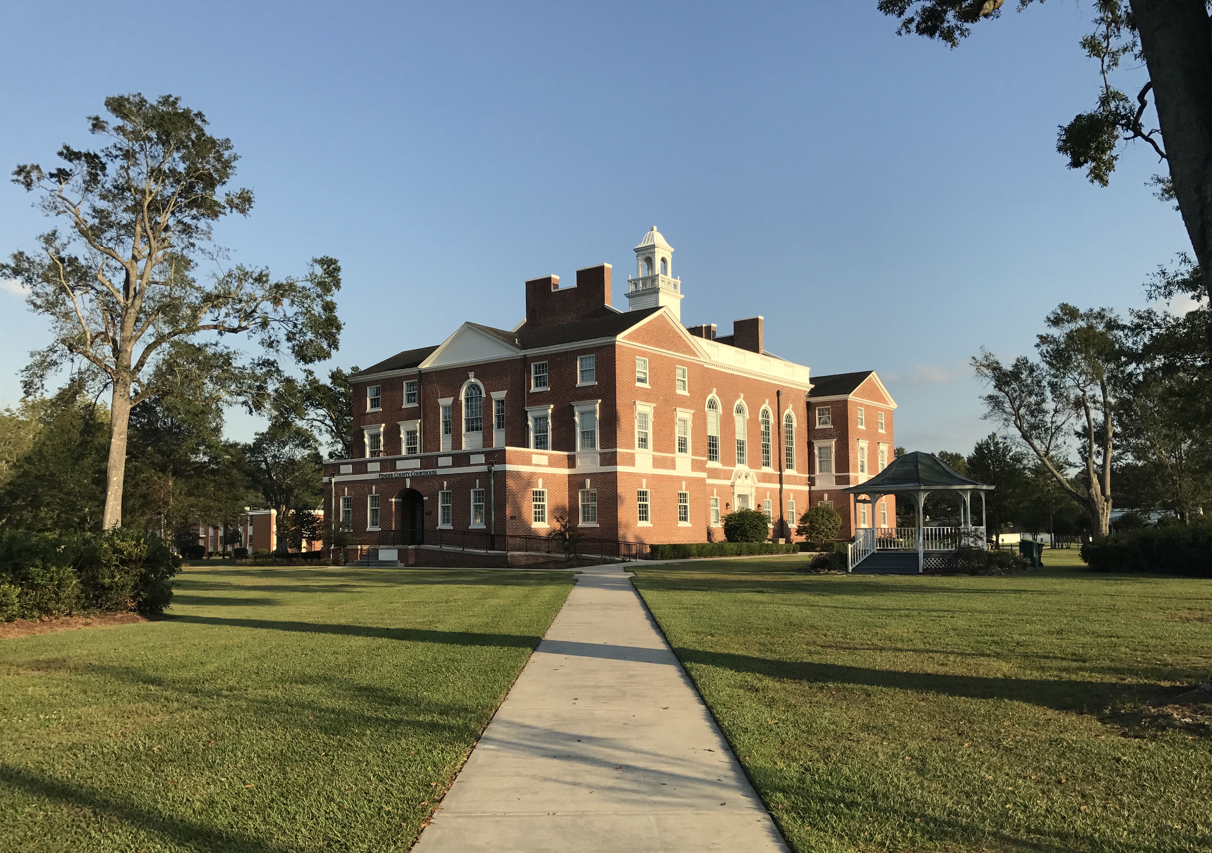 Pender County Courthouse in Burgaw, North Carolina | |
 Seal Logo | |
| Motto: "Find Your Treasure" | |
 Location within the U.S. state of North Carolina | |
 North Carolina's location within the U.S. | |
| Coordinates: 34°31′N 77°53′W | |
| Country | |
| State | |
| Founded | 1875 |
| Named for | William Dorsey Pender |
| Seat | Burgaw |
| Largest community | Hampstead |
| Area | |
| • Total | 933 sq mi (2,420 km2) |
| • Land | 870 sq mi (2,300 km2) |
| • Water | 63 sq mi (160 km2) 6.8% |
| Population | |
| • Estimate (2021) | 62,815 |
| • Density | 72.2/sq mi (27.9/km2) |
| Time zone | UTC−5 (Eastern) |
| • Summer (DST) | UTC−4 (EDT) |
| Congressional district | 7th |
| Website | www |
History
The county was formed in 1875 from New Hanover County. It was named for William Dorsey Pender of Edgecombe County, a Confederate general mortally wounded at the Battle of Gettysburg.[3] It is in the southeastern section of the state and is bounded by the Atlantic Ocean and New Hanover, Brunswick, Columbus, Bladen, Sampson, Duplin, and Onslow counties. The present land area is 870.76 square miles (2,255.3 km2) and the 2010 population was 52,196, which has nearly doubled since 1990. The estimated county population in 2019 had increased to 63,060.[4] The county commissioners were ordered to hold their first meeting at Rocky Point. The act provided for the establishment of the town of Cowan as the county seat. In 1877, an act was passed repealing that section of the law relative to the town, and another law was enacted, whereby the qualified voters were to vote on the question of moving the county seat to South Washington or any other place which the majority of the voters designated. Whatever place was selected, the town should be called Stanford. In 1879, Stanford was changed to Burgaw, which was by that law incorporated. It is the county seat. A slave cemetery that was used by the community of Cardinal Acres up until circa 1950 was disturbed by a developer grading a site in 2021.[5]
Geography

According to the U.S. Census Bureau, the county has a total area of 933 square miles (2,420 km2), of which 870 square miles (2,300 km2) is land and 63 square miles (160 km2) (6.8%) is water.[6] It is the fifth-largest county in North Carolina by land area.
National protected area
- Moores Creek National Battlefield
State and local protected areas
- Angola Bay Game Land (part)
- Bellhammon Tract (part)
- Canetuck Tract
- Holly Shelter Game Land (part)
- Lea-Hutaff Island State Natural Area
- Sandy Run Savannas State Natural Area (part)
Major water bodies
- Atlantic Ocean
- Black River, home to one of the oldest trees in the world (1622 years old) in Bladen County
- Cape Fear River
- Doctor's Creek
- Intracoastal Waterway
- Northeast Cape Fear River
Adjacent counties
- Duplin County — north
- Onslow County — northeast
- New Hanover County — south
- Brunswick County — south
- Columbus County — southwest
- Bladen County — west
- Sampson County — northwest
Major highways
 I-40
I-40 US 17
US 17 US 17 Byp. (To be the Military Cutoff Extension and the Hampstead Bypass starting in New Hanover County)
 US 117
 US 421
 NC 11
NC 11 NC 50
NC 50 NC 53
NC 53 NC 133
 NC 210
Demographics
| Historical population | |||
|---|---|---|---|
| Census | Pop. | %± | |
| 1880 | 12,468 | — | |
| 1890 | 12,514 | 0.4% | |
| 1900 | 13,381 | 6.9% | |
| 1910 | 15,471 | 15.6% | |
| 1920 | 14,788 | −4.4% | |
| 1930 | 15,686 | 6.1% | |
| 1940 | 17,710 | 12.9% | |
| 1950 | 18,423 | 4.0% | |
| 1960 | 18,508 | 0.5% | |
| 1970 | 18,149 | −1.9% | |
| 1980 | 22,215 | 22.4% | |
| 1990 | 28,855 | 29.9% | |
| 2000 | 41,082 | 42.4% | |
| 2010 | 52,217 | 27.1% | |
| 2020 | 60,203 | 15.3% | |
| 2021 (est.) | 62,815 | [7] | 4.3% |
| U.S. Decennial Census[8] 1790-1960[9] 1900-1990[10] 1990-2000[11] 2010-2013[12] 2020[13] | |||
2020 census
| Race | Number | Percentage |
|---|---|---|
| White (non-Hispanic) | 44,418 | 73.78% |
| Black or African American (non-Hispanic) | 7,544 | 12.53% |
| Native American | 195 | 0.32% |
| Asian | 319 | 0.53% |
| Pacific Islander | 23 | 0.04% |
| Other/Mixed | 2,722 | 4.52% |
| Hispanic or Latino | 4,982 | 8.28% |
As of the 2020 United States census, there were 60,203 people, 21,740 households, and 14,676 families residing in the county.
2000 census
As of the census[15] of 2000, there were 41,082 people, 16,054 households, and 11,719 families residing in the county. The population density was 47 people per square mile (18/km2). There were 20,798 housing units at an average density of 24 per square mile (9/km2). The racial makeup of the county was 72.74% White, 23.58% Black or African American, 0.49% Native American, 0.18% Asian, 0.03% Pacific Islander, 2.03% from other races, and 0.94% from two or more races. 3.64% of the population were Hispanic or Latino of any race.
There were 16,054 households, out of which 29.40% had children under the age of 18 living with them, 57.90% were married couples living together, 11.20% had a female householder with no husband present, and 27.00% were non-families. 22.90% of all households were made up of individuals, and 8.50% had someone living alone who was 65 years of age or older. The average household size was 2.49 and the average family size was 2.90.
In the county, the population was spread out, with 23.20% under the age of 18, 7.40% from 18 to 24, 29.50% from 25 to 44, 25.80% from 45 to 64, and 14.10% who were 65 years of age or older. The median age was 39 years. For every 100 females there were 101.20 males. For every 100 females age 18 and over, there were 99.50 males.
The median income for a household in the county was $35,902, and the median income for a family was $41,633. Males had a median income of $31,424 versus $21,623 for females. The per capita income for the county was $17,882. About 9.50% of families and 13.60% of the population were below the poverty line, including 18.60% of those under age 18 and 14.40% of those age 65 or over.
Government and politics
Pender County is a member of the regional Cape Fear Council of Governments. The government is run by a board of commissioners with a county manager.
Pender County is a strong Republican county, it has voted with the party since 1996. In the 1992 U.S presidential election, Democratic nominee Bill Clinton won the county. In the 2016 U.S presidential election, Republican nominee Donald Trump won the county with 63.3% of the vote, over Democratic nominee Hillary Clinton's 33.5%.
| Year | Republican | Democratic | Third party | |||
|---|---|---|---|---|---|---|
| No. | % | No. | % | No. | % | |
| 2020 | 21,956 | 64.26% | 11,723 | 34.31% | 490 | 1.43% |
| 2016 | 17,639 | 63.26% | 9,354 | 33.54% | 892 | 3.20% |
| 2012 | 14,617 | 59.60% | 9,632 | 39.27% | 278 | 1.13% |
| 2008 | 13,618 | 57.34% | 9,907 | 41.72% | 224 | 0.94% |
| 2004 | 10,037 | 58.75% | 6,999 | 40.97% | 49 | 0.29% |
| 2000 | 7,661 | 54.13% | 6,415 | 45.32% | 78 | 0.55% |
| 1996 | 5,538 | 46.38% | 5,409 | 45.30% | 993 | 8.32% |
| 1992 | 4,857 | 39.07% | 5,825 | 46.86% | 1,748 | 14.06% |
| 1988 | 4,926 | 52.84% | 4,377 | 46.95% | 20 | 0.21% |
| 1984 | 5,079 | 53.73% | 4,354 | 46.06% | 20 | 0.21% |
| 1980 | 3,018 | 40.05% | 4,382 | 58.15% | 136 | 1.80% |
| 1976 | 2,063 | 31.56% | 4,422 | 67.65% | 52 | 0.80% |
| 1972 | 3,327 | 68.90% | 1,415 | 29.30% | 87 | 1.80% |
| 1968 | 1,007 | 17.76% | 1,942 | 34.26% | 2,720 | 47.98% |
| 1964 | 1,961 | 37.96% | 3,205 | 62.04% | 0 | 0.00% |
| 1960 | 1,274 | 31.71% | 2,744 | 68.29% | 0 | 0.00% |
| 1956 | 1,009 | 31.48% | 2,196 | 68.52% | 0 | 0.00% |
| 1952 | 1,152 | 36.22% | 2,029 | 63.78% | 0 | 0.00% |
| 1948 | 304 | 14.22% | 1,334 | 62.39% | 500 | 23.39% |
| 1944 | 441 | 20.29% | 1,732 | 79.71% | 0 | 0.00% |
| 1940 | 305 | 11.94% | 2,249 | 88.06% | 0 | 0.00% |
| 1936 | 333 | 12.28% | 2,379 | 87.72% | 0 | 0.00% |
| 1932 | 270 | 11.87% | 1,993 | 87.64% | 11 | 0.48% |
| 1928 | 1,300 | 56.57% | 998 | 43.43% | 0 | 0.00% |
| 1924 | 253 | 17.51% | 1,175 | 81.31% | 17 | 1.18% |
| 1920 | 699 | 30.67% | 1,580 | 69.33% | 0 | 0.00% |
| 1916 | 400 | 29.20% | 970 | 70.80% | 0 | 0.00% |
| 1912 | 19 | 1.52% | 967 | 77.11% | 268 | 21.37% |
Education
The county is served by Pender County Schools.
Communities

Towns
Village
Census-designated places
- Hampstead (largest community)
- Long Creek
- Rocky Point
Other unincorporated communities
- Charity
- Currie
- Montague
- Register
- Sloop Point
- Willard
- Yamacraw
Townships
- Burgaw
- Canetuck
- Caswell
- Columbia
- Grady
- Holly
- Long Creek
- Rocky Point
- Topsail
- Union
Notable people
- John Baptista Ashe, born in Rocky Point township, delegate to the Continental Congress[17]
- John Baptista Ashe, born in Rocky Point township, nephew of the above, United States Congressman from North Carolina[17]
- William Shepperd Ashe, born in Rocky Point township, United States Congressman from North Carolina[17]
See also
- List of counties in North Carolina
- National Register of Historic Places listings in Pender County, North Carolina
- Films and television shows produced in Wilmington, North Carolina
- Cape Fear Museum, located in Wilmington, New Hanover County
- List of North Carolina State Parks#State Natural Areas
- National battlefield
- North Carolina in the American Civil War
References
- "U.S. Census Bureau QuickFacts: Pender County, North Carolina". www.census.gov. Retrieved April 19, 2022.
- "Find a County". National Association of Counties. Retrieved June 7, 2011.
- Proffitt, Martie (April 17, 1983). "Local history offers tasty tidbits". Star-News. pp. 8C. Retrieved November 1, 2015.
- "U.S. Census Bureau QuickFacts: Pender County, North Carolina; United States". www.census.gov. Retrieved October 11, 2020.
- Simmonsy, Kassie (March 16, 2021). "African American grave site disturbed by subdivision development". WECT. Retrieved March 17, 2021.
{{cite web}}: CS1 maint: url-status (link) - "2010 Census Gazetteer Files". United States Census Bureau. August 22, 2012. Archived from the original on January 12, 2015. Retrieved January 18, 2015.
- "U.S. Census Bureau QuickFacts: Pender County, North Carolina". www.census.gov. Retrieved May 31, 2022.
- "U.S. Decennial Census". United States Census Bureau. Retrieved January 18, 2015.
- "Historical Census Browser". University of Virginia Library. Retrieved January 18, 2015.
- Forstall, Richard L., ed. (March 27, 1995). "Population of Counties by Decennial Census: 1900 to 1990". United States Census Bureau. Retrieved January 18, 2015.
- "Census 2000 PHC-T-4. Ranking Tables for Counties: 1990 and 2000" (PDF). United States Census Bureau. April 2, 2001. Archived (PDF) from the original on March 27, 2010. Retrieved January 18, 2015.
- "State & County QuickFacts". United States Census Bureau. Archived from the original on June 7, 2011. Retrieved October 29, 2013.
- "U.S. Census Bureau QuickFacts: Pender County, North Carolina". www.census.gov. Retrieved May 31, 2022.
- "Explore Census Data". data.census.gov. Retrieved December 24, 2021.
- "U.S. Census website". United States Census Bureau. Retrieved January 31, 2008.
- Leip, David. "Dave Leip's Atlas of U.S. Presidential Elections". uselectionatlas.org. Retrieved March 17, 2018.
- Who Was Who in America, Historical Volume, 1607–1896. Chicago: Marquis Who's Who. 1963.
External links
- Pender County government official website
- NCGenWeb Pender County—free genealogy resources for the county
 Geographic data related to Pender County, North Carolina at OpenStreetMap
Places adjacent to Pender County, North Carolina | ||||||||||||||||
|---|---|---|---|---|---|---|---|---|---|---|---|---|---|---|---|---|
| ||||||||||||||||
Municipalities and communities of Pender County, North Carolina, United States | ||
|---|---|---|
County seat: Burgaw | ||
| Towns |  | |
| Village | ||
| CDPs |
| |
| Other communities |
| |
| Footnotes | ‡This populated place also has portions in an adjacent county or counties | |
| ||
Authority control | |
|---|---|
| General | |
| National libraries | |
| Other | |
На других языках
[de] Pender County
Pender County[1] ist ein County im Bundesstaat North Carolina der Vereinigten Staaten. Der Verwaltungssitz (County Seat) ist Burgaw.- [en] Pender County, North Carolina
[fr] Comté de Pender
Le comté de Pender est un comté situé dans l'État de Caroline du Nord aux États-Unis dont le siège est Burgaw.[it] Contea di Pender
La contea di Pender in inglese Pender County è una contea dello Stato della Carolina del Nord, negli Stati Uniti. La popolazione al censimento del 2000 era di 41 082 abitanti. Il capoluogo di contea è Burgaw.[ru] Пендер (округ)
Округ Пендер (англ. Pender County) располагается в штате Северная Каролина, США. Официально образован в 1875 году. По состоянию на 2010 год, численность населения составляла 52 217 человек.Другой контент может иметь иную лицензию. Перед использованием материалов сайта WikiSort.org внимательно изучите правила лицензирования конкретных элементов наполнения сайта.
WikiSort.org - проект по пересортировке и дополнению контента Википедии