world.wikisort.org - USA
Davie County is a county located in the U.S. state of North Carolina. As of the 2020 census, the population was 42,712.[1] Its county seat is Mocksville.[2]
Davie County | |
|---|---|
U.S. county | |
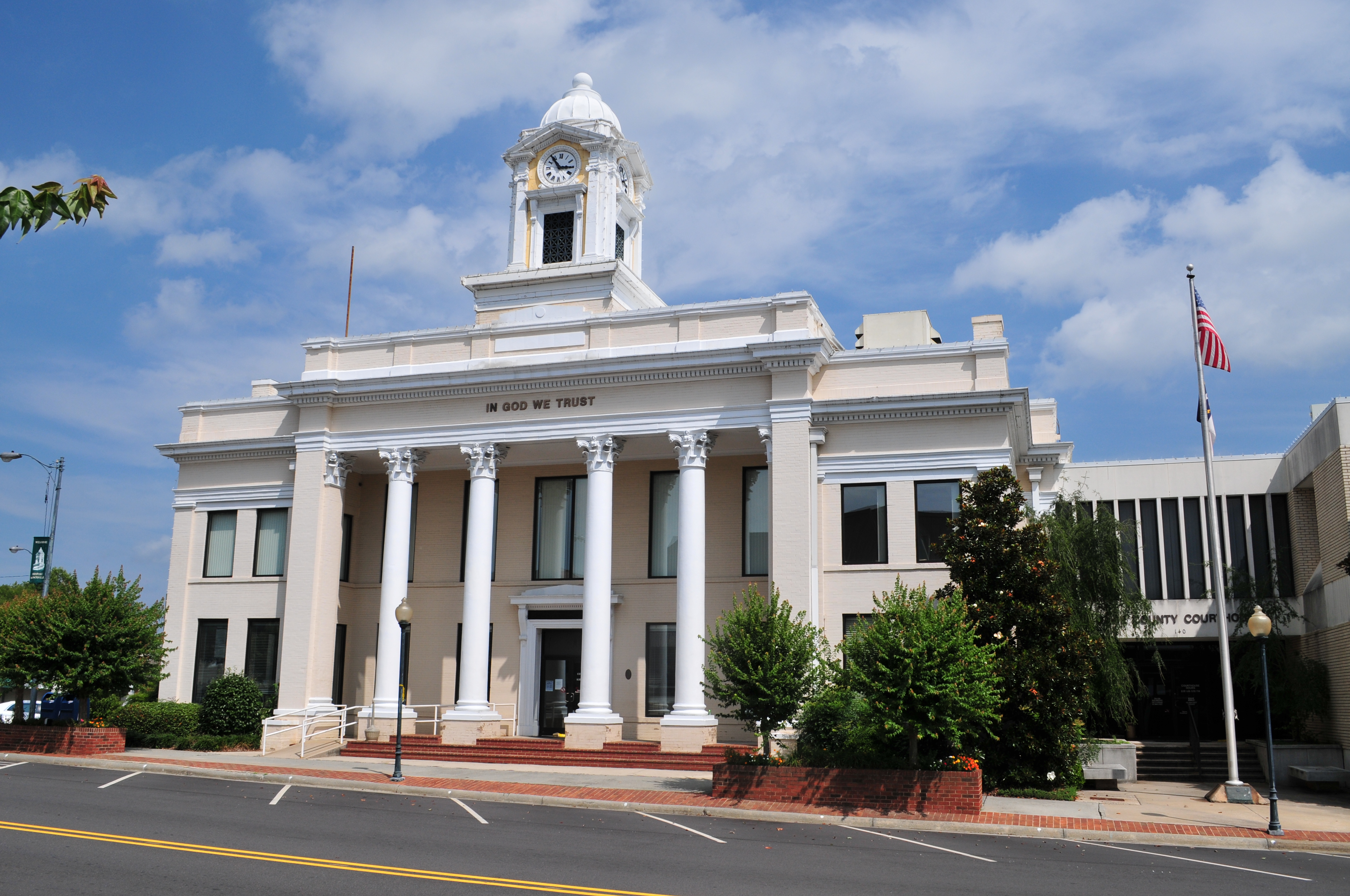 Davie County Courthouse | |
 Flag  Seal Logo | |
| Motto: "You Belong Here" | |
 Location within the U.S. state of North Carolina | |
 North Carolina's location within the U.S. | |
| Coordinates: 35°56′N 80°32′W | |
| Country | |
| State | |
| Founded | 1836 |
| Named for | William R. Davie |
| Seat | Mocksville |
| Largest town | Mocksville |
| Area | |
| • Total | 267 sq mi (690 km2) |
| • Land | 264 sq mi (680 km2) |
| • Water | 3.0 sq mi (8 km2) 1.1% |
| Population | |
| • Estimate (2021) | 43,533 |
| • Density | 164.9/sq mi (63.7/km2) |
| Time zone | UTC−5 (Eastern) |
| • Summer (DST) | UTC−4 (EDT) |
| Congressional district | 5th |
| Website | www |
Davie County is included in the Winston-Salem, NC Metropolitan Statistical Area, which is also included in the Greensboro-Winston-Salem-High Point, NC Combined Statistical Area.
History
The county was formed in 1836 from Rowan County. It was named for William R. Davie,[3] Governor of North Carolina from 1798 to 1799.
Davie County was initially strongly Unionist. However, 1,147 soldiers from Davie County fought in the American Civil War for the Confederate States of America.[4]
Geography

According to the U.S. Census Bureau, the county has a total area of 267 square miles (690 km2), of which 264 square miles (680 km2) is land and 3.0 square miles (7.8 km2) (1.1%) is water.[5]
Major water bodies
- Bear Creek
- Buffalo Creek
- Carter Creek
- Chinquapin Creek
- Dutchman Creek
- Greasy Creek
- Little Bear Creek
- Little Creek
- South Yadkin River
- Sugar Creek
- Yadkin River
Adjacent counties
- Yadkin County - north
- Forsyth County - northeast
- Davidson County - east
- Rowan County - south
- Iredell County - west
Major highways
 I-40
I-40 US 64
US 64 US 158
 US 601
 NC 801
 NC 901
Demographics
| Historical population | |||
|---|---|---|---|
| Census | Pop. | %± | |
| 1840 | 7,574 | — | |
| 1850 | 7,866 | 3.9% | |
| 1860 | 8,494 | 8.0% | |
| 1870 | 9,620 | 13.3% | |
| 1880 | 11,096 | 15.3% | |
| 1890 | 11,621 | 4.7% | |
| 1900 | 12,115 | 4.3% | |
| 1910 | 13,394 | 10.6% | |
| 1920 | 13,578 | 1.4% | |
| 1930 | 14,386 | 6.0% | |
| 1940 | 14,909 | 3.6% | |
| 1950 | 15,420 | 3.4% | |
| 1960 | 16,728 | 8.5% | |
| 1970 | 18,855 | 12.7% | |
| 1980 | 24,599 | 30.5% | |
| 1990 | 27,859 | 13.3% | |
| 2000 | 34,835 | 25.0% | |
| 2010 | 41,240 | 18.4% | |
| 2020 | 42,712 | 3.6% | |
| 2021 (est.) | 43,533 | [6] | 1.9% |
| U.S. Decennial Census[7] 1790–1960[8] 1900–1990[9] 1990–2000[10] 2010–2013[11] 2020[12] | |||
2020 census
| Race | Number | Percentage |
|---|---|---|
| White (non-Hispanic) | 34,809 | 81.5% |
| Black or African American (non-Hispanic) | 2,413 | 5.65% |
| Native American | 96 | 0.22% |
| Asian | 277 | 0.65% |
| Pacific Islander | 5 | 0.01% |
| Other/Mixed | 1,737 | 4.07% |
| Hispanic or Latino | 3,375 | 7.9% |
As of the 2020 United States census, there were 42,712 people, 16,405 households, and 11,586 families residing in the county.
2000 census
As of the census[14] of 2000, there were 34,835 people, 13,750 households, and 10,257 families residing in the county. The population density was 131 people per square mile (51/km2). There were 14,953 housing units at an average density of 56 per square mile (22/km2). The racial makeup of the county was 90.44% White, 6.80% Black or African American, 0.23% Native American, 0.31% Asian, 0.02% Pacific Islander, 1.31% from other races, and 0.89% from two or more races. 3.47% of the population were Hispanic or Latino of any race.
There were 13,750 households, out of which 32.70% had children under the age of 18 living with them, 61.40% were married couples living together, 9.20% had a female householder with no husband present, and 25.40% were non-families. 22.20% of all households were made up of individuals, and 9.70% had someone living alone who was 65 years of age or older. The average household size was 2.51 and the average family size was 2.91.
In the county, the population was well distributed by age, with 24.30% under the age of 18, 7.10% from 18 to 24, 29.40% from 25 to 44, 25.50% from 45 to 64, and 13.80% who were 65 years of age or older. The median age was 38 years. For every 100 females there were 97.00 males. For every 100 females age 18 and over, there were 94.00 males.
The median income for a household in the county was $40,174, and the median income for a family was $47,699. Males had a median income of $33,179 versus $24,632 for females. The per capita income for the county was $21,359. About 6.40% of families and 8.60% of the population were below the poverty line, including 10.20% of those under age 18 and 11.30% of those age 65 or over.
Government and politics
| Year | Republican | Democratic | Third party | |||
|---|---|---|---|---|---|---|
| No. | % | No. | % | No. | % | |
| 2020 | 18,228 | 72.02% | 6,713 | 26.52% | 370 | 1.46% |
| 2016 | 15,602 | 71.71% | 5,270 | 24.22% | 884 | 4.06% |
| 2012 | 14,687 | 71.05% | 5,735 | 27.75% | 248 | 1.20% |
| 2008 | 13,981 | 68.64% | 6,178 | 30.33% | 209 | 1.03% |
| 2004 | 12,372 | 74.17% | 4,233 | 25.38% | 75 | 0.45% |
| 2000 | 10,184 | 72.75% | 3,651 | 26.08% | 163 | 1.16% |
| 1996 | 8,141 | 64.51% | 3,525 | 27.93% | 954 | 7.56% |
| 1992 | 6,796 | 54.86% | 3,675 | 29.67% | 1,916 | 15.47% |
| 1988 | 7,988 | 71.37% | 3,166 | 28.29% | 38 | 0.34% |
| 1984 | 8,201 | 73.72% | 2,911 | 26.17% | 13 | 0.12% |
| 1980 | 6,302 | 63.79% | 3,289 | 33.29% | 289 | 2.93% |
| 1976 | 4,772 | 56.39% | 3,635 | 42.96% | 55 | 0.65% |
| 1972 | 5,613 | 75.69% | 1,578 | 21.28% | 225 | 3.03% |
| 1968 | 3,866 | 49.04% | 1,502 | 19.05% | 2,515 | 31.90% |
| 1964 | 4,460 | 59.10% | 3,086 | 40.90% | 0 | 0.00% |
| 1960 | 4,788 | 65.96% | 2,471 | 34.04% | 0 | 0.00% |
| 1956 | 4,599 | 68.55% | 2,110 | 31.45% | 0 | 0.00% |
| 1952 | 4,010 | 62.50% | 2,406 | 37.50% | 0 | 0.00% |
| 1948 | 2,679 | 54.02% | 1,917 | 38.66% | 363 | 7.32% |
| 1944 | 3,244 | 58.87% | 2,266 | 41.13% | 0 | 0.00% |
| 1940 | 2,532 | 46.65% | 2,896 | 53.35% | 0 | 0.00% |
| 1936 | 2,502 | 50.26% | 2,476 | 49.74% | 0 | 0.00% |
| 1932 | 2,473 | 50.52% | 2,381 | 48.64% | 41 | 0.84% |
| 1928 | 2,959 | 73.17% | 1,085 | 26.83% | 0 | 0.00% |
| 1924 | 2,672 | 59.64% | 1,795 | 40.07% | 13 | 0.29% |
| 1920 | 2,591 | 61.47% | 1,624 | 38.53% | 0 | 0.00% |
| 1916 | 1,245 | 57.61% | 910 | 42.11% | 6 | 0.28% |
| 1912 | 810 | 40.93% | 823 | 41.59% | 346 | 17.48% |
Davie is a strongly Republican county, being one of seven North Carolina counties to be won by Alf Landon in 1936, and one of thirteen to be carried by Barry Goldwater in 1964. The only Democrat to win the county since World War I has been Franklin D. Roosevelt in 1940, when he was aided by support for Britain's World War II effort by the county's population – which is predominantly of British ancestry.[16]
Davie County is a member of the Piedmont Triad Regional Council. In the North Carolina Senate, it is part of the 31st Senate District, represented by Republican Joyce Krawiec. In the North Carolina House of Representatives, Davie County is part of the 79th District represented by Republican Julia C. Howard.
Yadkin Valley wine region
Portions of Davie County are located in the Yadkin Valley AVA, an American Viticultural Area. Wines made from grapes grown in the Yadkin Valley AVA may use the appellation Yadkin Valley on their labels.
Communities

Towns
- Bermuda Run
- Cooleemee
- Mocksville (county seat and largest town)
Townships
By the requirements of the North Carolina Constitution of 1868, all counties in North Carolina were divided into townships.[17] The townships have been used in U.S. Census enumerations since 1870. The following townships were created in 1868:
- Calahaln Township
- Clarksville Township
- Farmington Township
- Fulton Township
- Jerusalem Township
- Mocksville Township
- Shady Grove Township
Unincorporated communities
- Cornatzer
- Farmington
- Hillsdale
- Maine
- Sheffield
- Turkeyfoot
Census-designated place
Post offices
Through 1971, there were only three continuing U.S. post offices in Davie County:[18]
- Advances (since February 16, 1877)
- Cooleeme (since February 9, 1900)
- Mocksville (since January 4, 1830, created in Rowan County until Davie County was formed)
See also
- List of counties in North Carolina
- National Register of Historic Places listings in Davie County, North Carolina
References
- "U.S. Census Bureau QuickFacts: Davie County, North Carolina". www.census.gov. Retrieved May 2, 2022.
- "Find a County". National Association of Counties. Archived from the original on May 31, 2011. Retrieved June 7, 2011.
- Gannett, Henry (1905). The Origin of Certain Place Names in the United States. Govt. Print. Off. pp. 101.
- Hasty, Mary Alice (2009). The Civil War roster of Davie County, North Carolina : biographies of 1,147 men before, during and after the conflict. Jefferson, N.C. : McFarland & Co. ISBN 9780786438570.
- "2010 Census Gazetteer Files". United States Census Bureau. August 22, 2012. Archived from the original on January 12, 2015. Retrieved January 14, 2015.
- "U.S. Census Bureau QuickFacts: Davie County, North Carolina". www.census.gov. Retrieved May 31, 2022.
- "U.S. Decennial Census". United States Census Bureau. Retrieved January 14, 2015.
- "Historical Census Browser". University of Virginia Library. Retrieved January 14, 2015.
- Forstall, Richard L., ed. (March 27, 1995). "Population of Counties by Decennial Census: 1900 to 1990". United States Census Bureau. Retrieved January 14, 2015.
- "Census 2000 PHC-T-4. Ranking Tables for Counties: 1990 and 2000" (PDF). United States Census Bureau. April 2, 2001. Archived (PDF) from the original on March 27, 2010. Retrieved January 14, 2015.
- "State & County QuickFacts". United States Census Bureau. Archived from the original on June 6, 2011. Retrieved October 19, 2013.
- "U.S. Census Bureau QuickFacts: Davie County, North Carolina". www.census.gov. Retrieved May 31, 2022.
- "Explore Census Data". data.census.gov. Retrieved December 20, 2021.
- "U.S. Census website". United States Census Bureau. Retrieved January 31, 2008.
- Leip, David. "Dave Leip's Atlas of U.S. Presidential Elections". uselectionatlas.org. Retrieved March 15, 2018.
- Menendez, Albert J.; The Geography of Presidential Elections in the United States, 1868-2004, pp. 67-68 ISBN 0786422173
- "North Carolina Constitution of 1868" (PDF). Archived (PDF) from the original on September 19, 2013. Retrieved May 19, 2019.
- Lewis, J.D. "Davie County post offices". Carolana.com. Retrieved September 13, 2022.
External links
 Geographic data related to Davie County, North Carolina at OpenStreetMap
- Davie County government official website
- Davie County Official Web Portal
- Digital Davie: Historic Photos and Documents from the Davie County Public Library
- Sisters Pen Book on Civil War History
Places adjacent to Davie County, North Carolina | ||||||||||||||||
|---|---|---|---|---|---|---|---|---|---|---|---|---|---|---|---|---|
| ||||||||||||||||
Municipalities and communities of Davie County, North Carolina, United States | ||
|---|---|---|
County seat: Mocksville | ||
| Towns |  | |
| CDPs | ||
| Other communities | ||
| ||
Authority control | |
|---|---|
| General | |
| National libraries | |
| Other |
|
На других языках
[de] Davie County
Davie County[1] ist ein County im Bundesstaat North Carolina der Vereinigten Staaten. Der Verwaltungssitz (County Seat) ist Mocksville. das nach der Familie Mock benannt wurde, die das Land für die Stadt stiftete.- [en] Davie County, North Carolina
[fr] Comté de Davie
Le comté de Davie est un comté situé dans l'État de Caroline du Nord aux États-Unis.[it] Contea di Davie
La contea di Davie, in inglese Davie County, è una contea dello Stato della Carolina del Nord, negli Stati Uniti. La popolazione al censimento del 2000 era di 34.835 abitanti. Il capoluogo di contea è Mocksville.[ru] Дейви (округ)
Округ Дейви (англ. Davie County) располагается в штате Северная Каролина, США. Официально образован в 1836 году. По состоянию на 2010 год, численность населения составляла 41 240 человек.Другой контент может иметь иную лицензию. Перед использованием материалов сайта WikiSort.org внимательно изучите правила лицензирования конкретных элементов наполнения сайта.
WikiSort.org - проект по пересортировке и дополнению контента Википедии