world.wikisort.org - USA
Farmington is an unincorporated community and census-designated place (CDP) in Davie County, North Carolina, United States,[2] located at the intersection of NC 801 and Farmington Road (SR 1410). It was first listed as a CDP in the 2020 census with a population of 291.[3] Located nearby is the Farmington Dragway.[4]
Farmington, North Carolina | |
|---|---|
Census-designated place | |
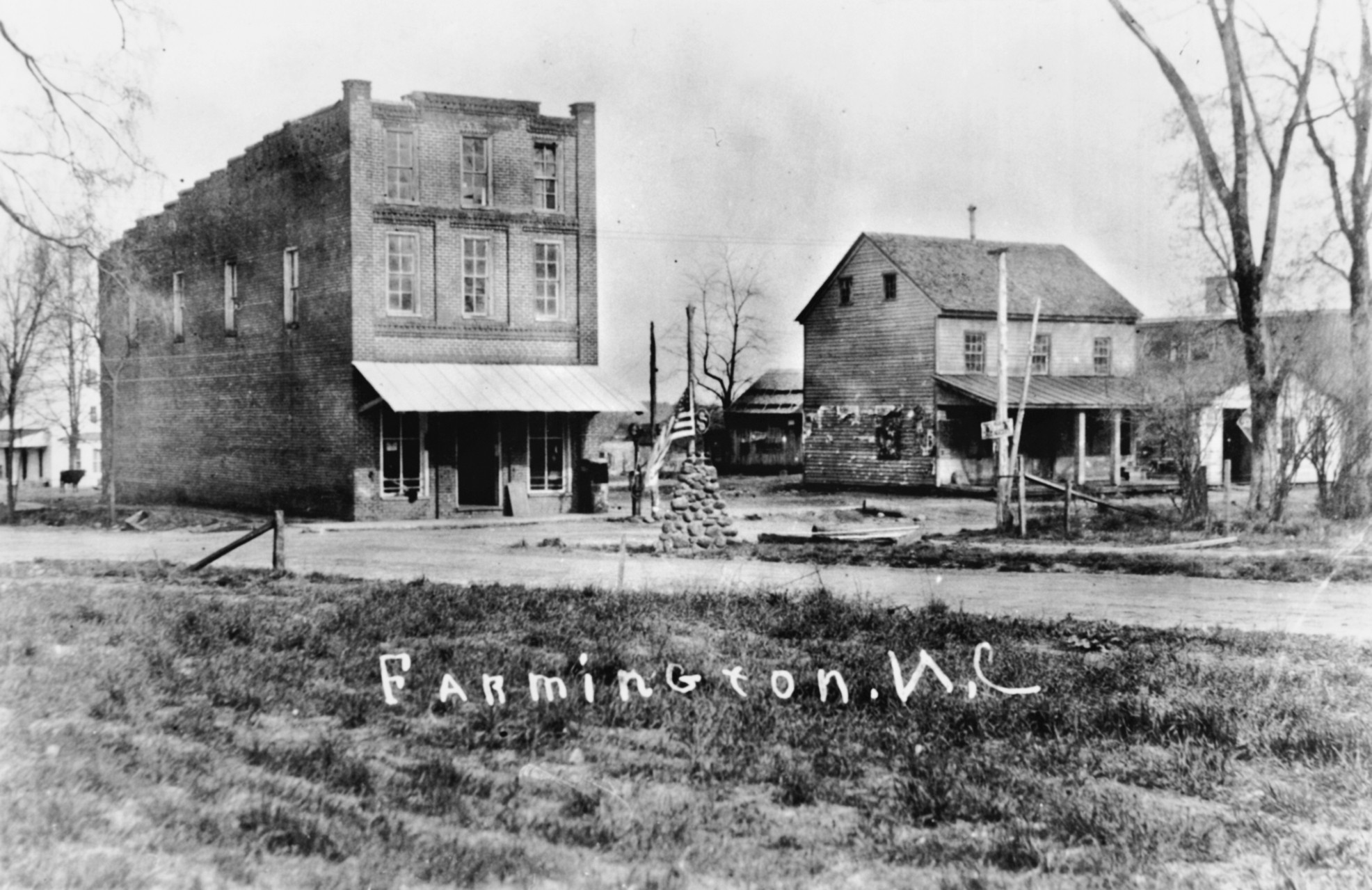
 Farmington Location within the state of North Carolina | |
| Coordinates: 36°00′56″N 80°31′56″W | |
| Country | United States |
| State | North Carolina |
| County | Davie County |
| Area | |
| • Total | 1.66 sq mi (4.29 km2) |
| • Land | 1.62 sq mi (4.21 km2) |
| • Water | 0.03 sq mi (0.09 km2) |
| Elevation | 784 ft (239 m) |
| Population (2020) | |
| • Total | 291 |
| • Density | 179.19/sq mi (69.20/km2) |
| Time zone | UTC-5 (Eastern (EST)) |
| • Summer (DST) | UTC-4 (EDT) |
| ZIP code | 27028 |
| Area code | 336 |
| GNIS feature ID | 1020220[2] |
Demographics
| Historical population | |||
|---|---|---|---|
| Census | Pop. | %± | |
| 2020 | 291 | — | |
| U.S. Decennial Census[5] 2020[6] | |||
2020 census
| Race / Ethnicity | Pop 2020[6] | % 2020 |
|---|---|---|
| White alone (NH) | 280 | 96.22% |
| Black or African American alone (NH) | 0 | 0.00% |
| Native American or Alaska Native alone (NH) | 0 | 0.00% |
| Asian alone (NH) | 0 | 0.00% |
| Pacific Islander alone (NH) | 0 | 0.00% |
| Some Other Race alone (NH) | 1 | 0.34% |
| Mixed Race/Multi-Racial (NH) | 5 | 1.72% |
| Hispanic or Latino (any race) | 5 | 1.72% |
| Total | 291 | 100.00% |
Note: the US Census treats Hispanic/Latino as an ethnic category. This table excludes Latinos from the racial categories and assigns them to a separate category. Hispanics/Latinos can be of any race.
References
- "ArcGIS REST Services Directory". United States Census Bureau. Retrieved September 20, 2022.
- "Farmington, North Carolina". Geographic Names Information System. United States Geological Survey, United States Department of the Interior. Retrieved October 31, 2014.
- "Farmington CDP, North Carolina". United States Census Bureau. Retrieved April 7, 2022.
- "Track Info". Farmington Dragway. High Performance Holdings LLC. Retrieved 24 January 2019.
- "Decennial Census of Population and Housing by Decades". US Census Bureau.
- "P2 HISPANIC OR LATINO, AND NOT HISPANIC OR LATINO BY RACE - 2020: DEC Redistricting Data (PL 94-171) - Farmington CDP, North Carolina". United States Census Bureau.
Municipalities and communities of Davie County, North Carolina, United States | ||
|---|---|---|
County seat: Mocksville | ||
| Towns |  | |
| CDPs | ||
| Other communities | ||
| ||
Текст в блоке "Читать" взят с сайта "Википедия" и доступен по лицензии Creative Commons Attribution-ShareAlike; в отдельных случаях могут действовать дополнительные условия.
Другой контент может иметь иную лицензию. Перед использованием материалов сайта WikiSort.org внимательно изучите правила лицензирования конкретных элементов наполнения сайта.
Другой контент может иметь иную лицензию. Перед использованием материалов сайта WikiSort.org внимательно изучите правила лицензирования конкретных элементов наполнения сайта.
2019-2025
WikiSort.org - проект по пересортировке и дополнению контента Википедии
WikiSort.org - проект по пересортировке и дополнению контента Википедии