world.wikisort.org - USA
Hoke County is a county in the U.S. state of North Carolina. As of the 2020 census, its population was 52,082.[1] Its county seat is Raeford.[2]
Hoke County | |
|---|---|
U.S. county | |
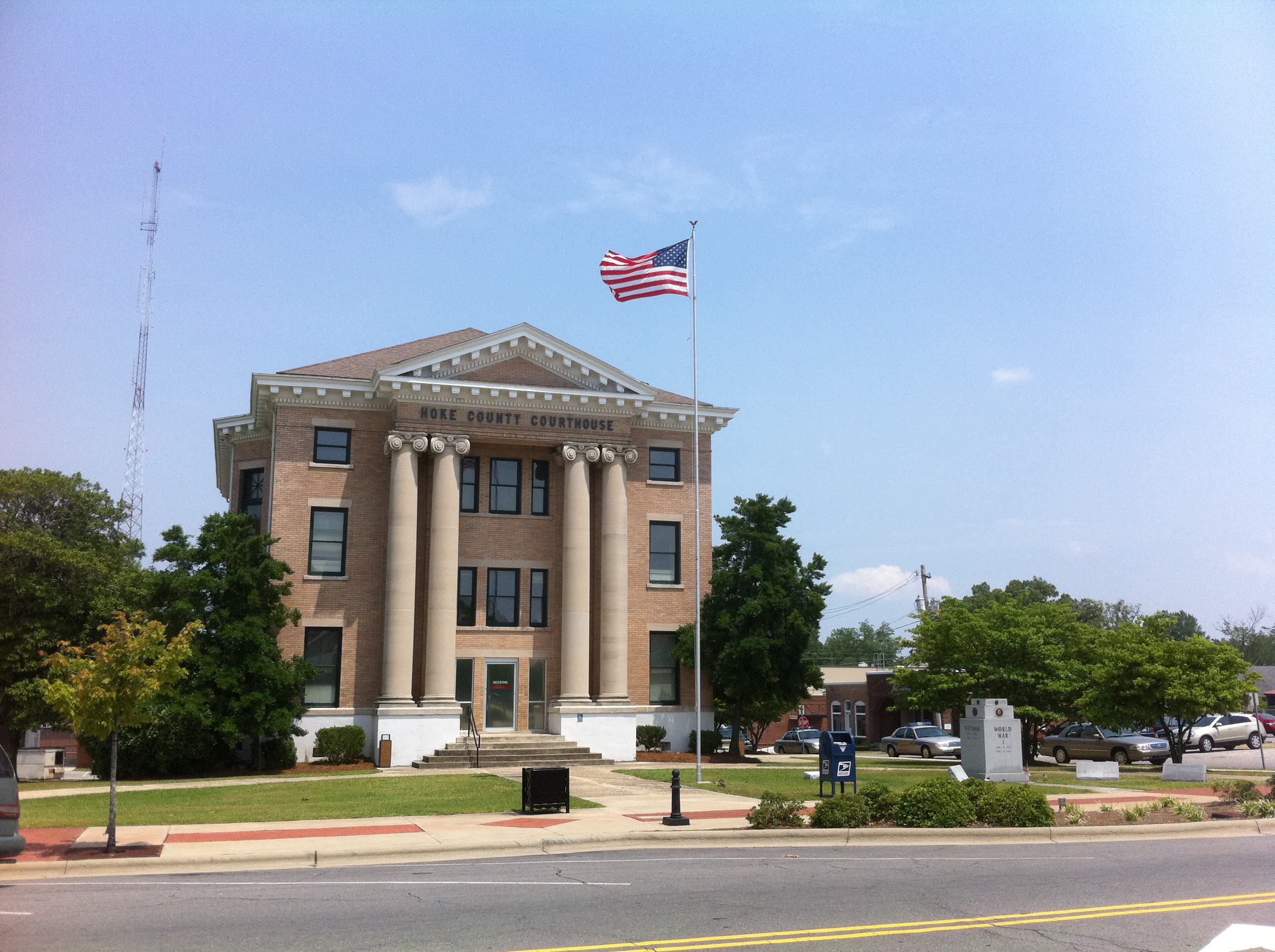 Hoke County Courthouse in Raeford | |
 Flag  Seal Logo | |
 Location within the U.S. state of North Carolina | |
 North Carolina's location within the U.S. | |
| Coordinates: 35°01′N 79°14′W | |
| Country | |
| State | |
| Founded | 1911 |
| Named for | Robert F. Hoke |
| Seat | Raeford |
| Largest city | Raeford |
| Area | |
| • Total | 392 sq mi (1,020 km2) |
| • Land | 391 sq mi (1,010 km2) |
| • Water | 1.6 sq mi (4 km2) 0.4% |
| Population | |
| • Estimate (2021) | 53,114 |
| • Density | 135.8/sq mi (52.4/km2) |
| Time zone | UTC−5 (Eastern) |
| • Summer (DST) | UTC−4 (EDT) |
| Congressional district | 9th |
| Website | www |
Hoke County is part of the Fayetteville metropolitan statistical area. The county is home to part of the Fort Bragg military reservation.
History
The county was formed in 1911 from parts of Cumberland and Robeson Counties. It was named for Robert F. Hoke, a Confederate general in the American Civil War.[3]
Geography

According to the U.S. Census Bureau, the county has a total area of 392 square miles (1,020 km2), of which 391 square miles (1,010 km2) are land and 1.6 square miles (4.1 km2) (0.4%) are covered by water.[4]
State and local protected areas
- Calloway Forest Preserve[5]
- Hoke Community Forest[6]
- Lumber River State Park (part)
- Rockfish Game Lands[7]
- Sandhills Game Land (part)[8]
Major water bodies
- Little River (Cape Fear River tributary)
- Little Rockfish Lake[9]
- MacArthur Lake[10]
- Rockfish Creek (Cape Fear River tributary)
Adjacent counties
- Moore County - northwest
- Cumberland County - east
- Robeson County - south
- Scotland County - southwest
Major highways
 US 15
US 15 US 401
 US 401 Bus.
 US 501
 NC 20
NC 20 NC 211
Major Infrastructure
- Fort Bragg, multiple military airstrips located in Hoke County.
Demographics
| Historical population | |||
|---|---|---|---|
| Census | Pop. | %± | |
| 1920 | 11,722 | — | |
| 1930 | 14,244 | 21.5% | |
| 1940 | 14,937 | 4.9% | |
| 1950 | 15,756 | 5.5% | |
| 1960 | 16,356 | 3.8% | |
| 1970 | 16,436 | 0.5% | |
| 1980 | 20,383 | 24.0% | |
| 1990 | 22,856 | 12.1% | |
| 2000 | 33,646 | 47.2% | |
| 2010 | 46,952 | 39.5% | |
| 2020 | 52,082 | 10.9% | |
| 2021 (est.) | 53,114 | [11] | 2.0% |
| U.S. Decennial Census[12] 1790-1960[13] 1900-1990[14] 1990-2000[15] 2010-2013[16] 2020[17] | |||
2020 census
| Race | Num. | Perc. |
|---|---|---|
| White (non-Hispanic) | 19,667 | 37.76% |
| Black or African American (non-Hispanic) | 16,385 | 31.46% |
| Native American | 3,803 | 7.3% |
| Asian | 716 | 1.37% |
| Pacific Islander | 189 | 0.36% |
| Other/Mixed | 3,635 | 6.98% |
| Hispanic or Latino | 7,687 | 14.76% |
As of the 2020 United States census, there were 52,082 people, 17,799 households, and 12,300 families residing in the county.
2010 census
As of the census[19] of 2010, 46,952 people, 11,373 households, and 8,745 families resided in the county. The population density was 86 people per square mile (33/km2). The 12,518 housing units averaged 32 per square mile (12/km2). The racial makeup of the county was 44.53% White, 37.64% African American, 11.45% Native American, 0.83% Asian, 0.15% Pacific Islander, 3.27% from other races, and 2.13% from two or more races. About 7.18% of the population were Hispanic or Latino of any race.
2005 census estimate
By 2005, 42.1% of the population was non-Hispanic whites; 10.1% of the population was Native American. 36.3% of the population was African-Americans. 9.8% of the population was Latino. 1.8% of the population reported more than one race (but it should be remembered that this category excluded Latinos) and 1.0% of the population was Asian.
2000 census
In 2000, of the 11,373 households, 41.40% had children under the age of 18 living with them, 52.70% were married couples living together, 18.20% had a female householder with no husband present, and 23.10% were not families. About 19.00% of all households were made up of individuals, and 5.80% had someone living alone who was 65 years of age or older. The average household size was 2.86 and the average family size was 3.22.
In the county, the population was distributed as 29.80% under the age of 18, 10.70% from 18 to 24, 34.10% from 25 to 44, 17.60% from 45 to 64, and 7.70% who were 65 years of age or older. The median age was 30 years. For every 100 females, there were 102.00 males. For every 100 females age 18 and over, there were 101.30 males.
The median income for a household in the county was $33,230, and for a family was $36,110. Males had a median income of $27,925 versus $21,184 for females. The per capita income for the county was $13,635. About 14.40% of families and 17.70% of the population were below the poverty line, including 22.40% of those under age 18 and 22.00% of those age 65 or over.
Government and politics
Hoke County is a member of the Lumber River Council of Governments, a regional planning board representing five counties.[20]
| Year | Republican | Democratic | Third party | |||
|---|---|---|---|---|---|---|
| No. | % | No. | % | No. | % | |
| 2020 | 9,453 | 43.69% | 11,804 | 54.55% | 382 | 1.77% |
| 2016 | 7,760 | 42.57% | 9,726 | 53.35% | 744 | 4.08% |
| 2012 | 6,819 | 39.90% | 10,076 | 58.96% | 194 | 1.14% |
| 2008 | 6,293 | 40.27% | 9,227 | 59.05% | 107 | 0.68% |
| 2004 | 5,257 | 47.41% | 5,794 | 52.25% | 37 | 0.33% |
| 2000 | 3,439 | 40.07% | 5,017 | 58.46% | 126 | 1.47% |
| 1996 | 1,914 | 32.28% | 3,510 | 59.20% | 505 | 8.52% |
| 1992 | 1,711 | 27.00% | 3,730 | 58.86% | 896 | 14.14% |
| 1988 | 2,020 | 37.88% | 3,281 | 61.52% | 32 | 0.60% |
| 1984 | 2,449 | 43.14% | 3,214 | 56.61% | 14 | 0.25% |
| 1980 | 1,168 | 25.24% | 3,376 | 72.95% | 84 | 1.82% |
| 1976 | 920 | 22.31% | 3,186 | 77.27% | 17 | 0.41% |
| 1972 | 1,927 | 56.25% | 1,466 | 42.79% | 33 | 0.96% |
| 1968 | 812 | 17.88% | 2,185 | 48.11% | 1,545 | 34.02% |
| 1964 | 779 | 25.68% | 2,254 | 74.32% | 0 | 0.00% |
| 1960 | 596 | 22.06% | 2,106 | 77.94% | 0 | 0.00% |
| 1956 | 513 | 20.88% | 1,944 | 79.12% | 0 | 0.00% |
| 1952 | 616 | 25.92% | 1,761 | 74.08% | 0 | 0.00% |
| 1948 | 142 | 8.56% | 1,339 | 80.71% | 178 | 10.73% |
| 1944 | 160 | 8.24% | 1,782 | 91.76% | 0 | 0.00% |
| 1940 | 117 | 5.79% | 1,904 | 94.21% | 0 | 0.00% |
| 1936 | 141 | 6.73% | 1,953 | 93.27% | 0 | 0.00% |
| 1932 | 65 | 3.51% | 1,780 | 96.22% | 5 | 0.27% |
| 1928 | 311 | 21.23% | 1,154 | 78.77% | 0 | 0.00% |
| 1924 | 141 | 10.92% | 1,146 | 88.77% | 4 | 0.31% |
| 1920 | 166 | 11.59% | 1,266 | 88.41% | 0 | 0.00% |
| 1916 | 110 | 12.36% | 780 | 87.64% | 0 | 0.00% |
| 1912 | 63 | 8.64% | 626 | 85.87% | 40 | 5.49% |
Education
Most of the county is in Hoke County Schools. However sections in Fort Bragg are served by schools in the Department of Defense Education Activity (DoDEA),[22] for grades K-8. However high school level students living on Fort Bragg go to the local public high schools operated by the respective county they live in.[23]
Communities

City
- Raeford (county seat and largest city)
Census-designated places
Townships
- Allendale
- Antioch
- Blue Springs
- Fort Bragg Military Reservation
- McLauchlin
- Raeford
- Quewhiffle
- Stonewall
See also
- List of counties in North Carolina
- National Register of Historic Places listings in Hoke County, North Carolina
- SandHoke Early College
- North Carolina State Parks
- Sandhills (Carolina), Region in south North Carolina.
- North Carolina in the American Civil War
References
- "U.S. Census Bureau QuickFacts: Hoke County, North Carolina". www.census.gov. Retrieved April 27, 2022.
- "Find a County". National Association of Counties. Archived from the original on May 31, 2011. Retrieved June 7, 2011.
- Heidler, David Stephen; Heidler, Jeanne T.; Coles, David J. (2002). Encyclopedia of the American Civil War: A Political Social and Military History. W.W. Norton. pp. 983–984. ISBN 978-0-393-04758-5. Archived from the original on May 11, 2011. Retrieved June 23, 2011.
- "2010 Census Gazetteer Files". United States Census Bureau. August 22, 2012. Archived from the original on January 12, 2015. Retrieved January 17, 2015.
- "Calloway Forest Preserve". The Nature Conservancy. Retrieved July 27, 2022.
- "Hoke Community Forest". The Conservation Fund. Retrieved July 27, 2022.
- "Stop 13: Rockfish Creek Game Land". www.visitfayettevillenc.com. Retrieved July 27, 2022.
- Center, Richmond Country Tourism Development Authority/ Richmond County Visitor's. "Sandhills Game Land". Richmond Country Tourism Development Authority/ Richmond County Visitor's Center. Retrieved July 18, 2022.
- "Fishing in Little Rockfish Creek". Fishbrain. Retrieved July 27, 2022.
- "McArthur Lake". www.visitfayettevillenc.com. Retrieved July 27, 2022.
- "U.S. Census Bureau QuickFacts: Hoke County, North Carolina". www.census.gov. Retrieved May 31, 2022.
- "U.S. Decennial Census". United States Census Bureau. Retrieved January 17, 2015.
- "Historical Census Browser". University of Virginia Library. Retrieved January 17, 2015.
- Forstall, Richard L., ed. (March 27, 1995). "Population of Counties by Decennial Census: 1900 to 1990". United States Census Bureau. Retrieved January 17, 2015.
- "Census 2000 PHC-T-4. Ranking Tables for Counties: 1990 and 2000" (PDF). United States Census Bureau. April 2, 2001. Retrieved January 17, 2015.
- "State & County QuickFacts". United States Census Bureau. Archived from the original on June 7, 2011. Retrieved October 21, 2013.
- "U.S. Census Bureau QuickFacts: Hoke County, North Carolina". www.census.gov. Retrieved May 31, 2022.
- "Explore Census Data". data.census.gov. Retrieved December 10, 2021.
- "U.S. Census website". United States Census Bureau. Retrieved January 31, 2008.
- "Richardson explains role of LRCOG to Rotary Club". The Laurinburg Exchange. January 28, 2020. Retrieved July 21, 2022.
- Leip, David. "Dave Leip's Atlas of U.S. Presidential Elections". uselectionatlas.org. Retrieved March 15, 2018.
- "2020 CENSUS - SCHOOL DISTRICT REFERENCE MAP: Hoke County, NC" (PDF). U.S. Census Bureau. Retrieved July 5, 2022. - Text list - "Fort Bragg Schools" refers to the DoDEA schools.
- "Fort Bragg/Cuba Community". Department of Defense Education Activity. Retrieved July 5, 2022.
Further reading
- Monroe, Joyce C.; Raeford-Hoke Museum (2011). Hoke County. Arcadia Publishing SC. ISBN 978-0-7385-8679-3.
External links
Places adjacent to Hoke County, North Carolina | ||||||||||||||||
|---|---|---|---|---|---|---|---|---|---|---|---|---|---|---|---|---|
| ||||||||||||||||
Municipalities and communities of Hoke County, North Carolina, United States | ||
|---|---|---|
County seat: Raeford | ||
| City |  | |
| Town | ||
| CDPs | ||
| Military base |
| |
| Footnotes | ‡This populated place also has portions in an adjacent county or counties | |
| ||
Authority control | |
|---|---|
| General | |
| National libraries | |
| Other | |
На других языках
[de] Hoke County
Hoke County[1] ist ein County im US-Bundesstaat North Carolina der Vereinigten Staaten. Der Verwaltungssitz (County Seat) ist Raeford, das nach ihren zwei Gründern MacRae und Williford benannt wurde.- [en] Hoke County, North Carolina
[ru] Хоук (округ)
Хоук (англ. Hoke) — округ в штате Северная Каролина, США. По данным переписи 2010 года, численность населения составила 46 952 человека.[1] Окружным центром является город Рафорд.Другой контент может иметь иную лицензию. Перед использованием материалов сайта WikiSort.org внимательно изучите правила лицензирования конкретных элементов наполнения сайта.
WikiSort.org - проект по пересортировке и дополнению контента Википедии