world.wikisort.org - China
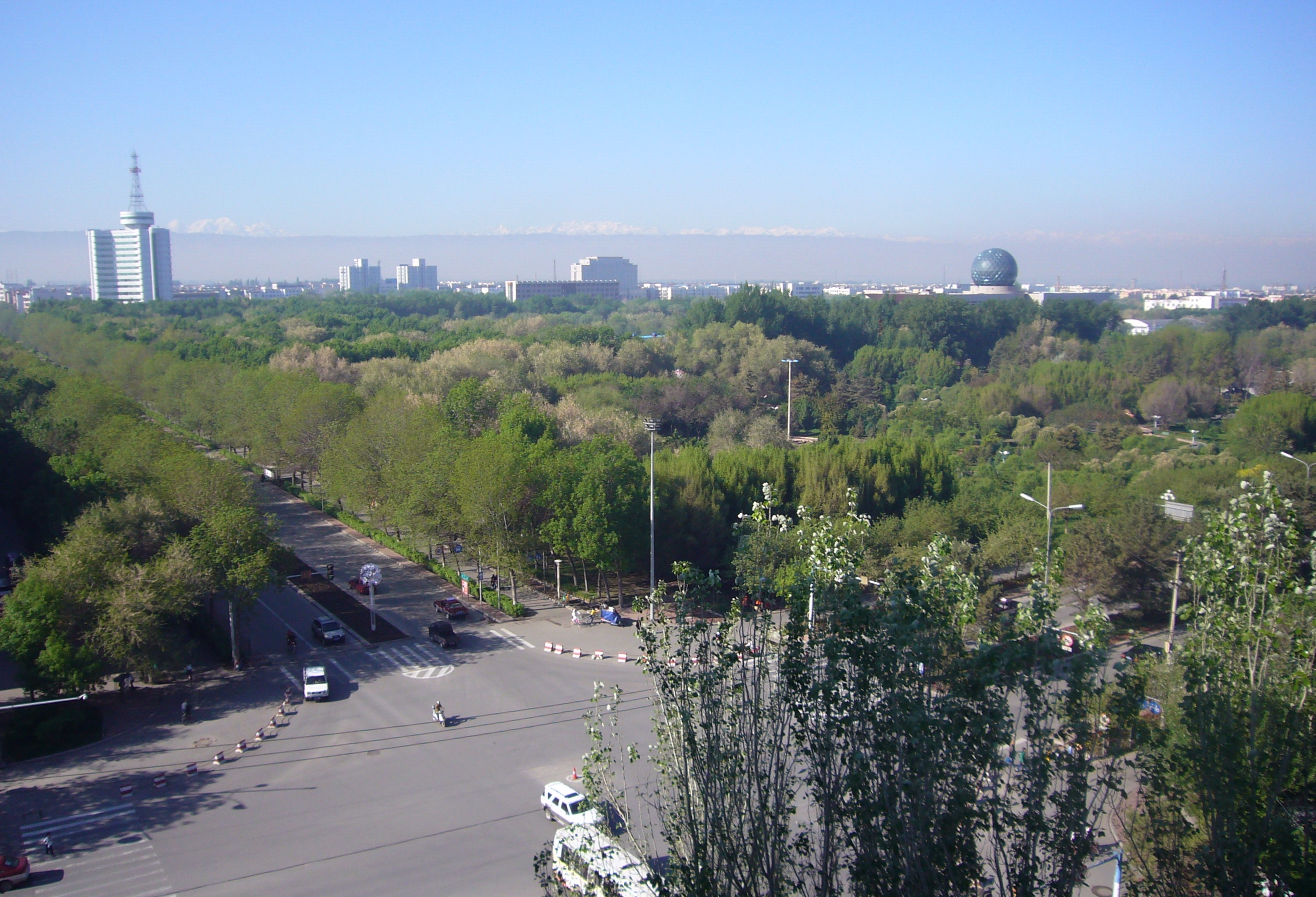
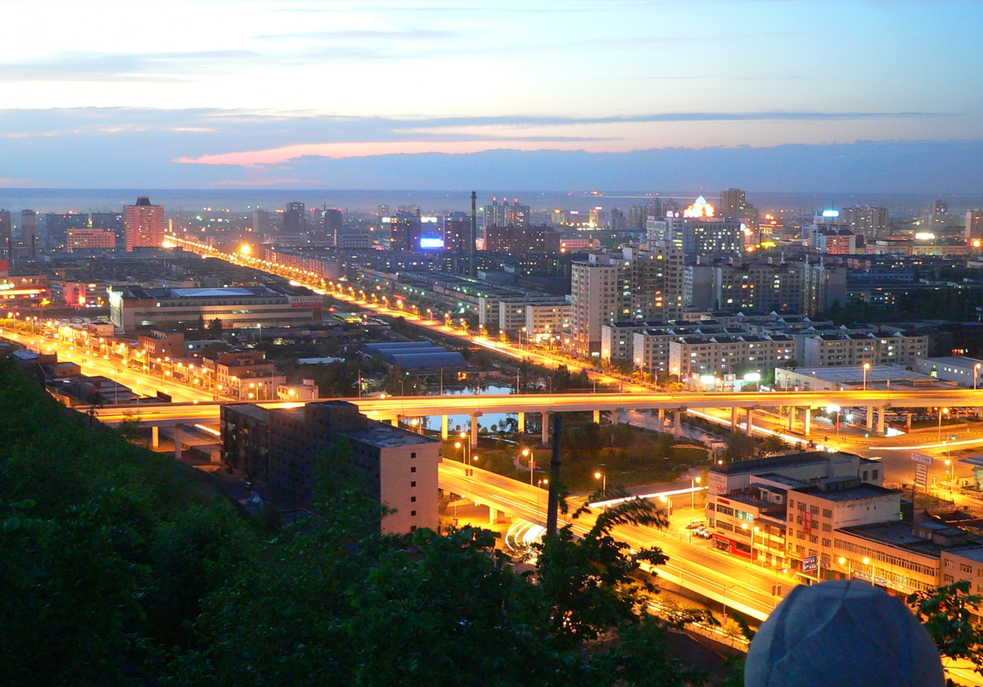
Shihezi is a sub-prefecture-level city in Northern Xinjiang, People's Republic of China. It has a population of 380,130 according to the 2010 census. The city is also home to Shihezi University, the second-largest comprehensive university under the Project 211 in Xinjiang.
Shihezi
石河子市 شىخەنزە شەھىرى | |
|---|---|
County-level & Sub-prefectural city | |
 Shihezi | |
 Location in Xinjiang | |
 Shihezi Location in Xinjiang | |
| Coordinates: 44°18′19″N 86°04′49″E | |
| Country | People's Republic of China |
| Region | Xinjiang |
| Government | |
| • CPC Shihezi | Committee Secretary |
| Area | |
| • Total | 460 km2 (180 sq mi) |
| Population | |
| • Total | 640,000 |
| • Density | 1,400/km2 (3,600/sq mi) |
| Time zone | UTC+8 (China Standard) |
| Postal code | 832000 |
| Area code(s) | 0993 |
| Shihezi | |||||||||||
|---|---|---|---|---|---|---|---|---|---|---|---|
| Chinese name | |||||||||||
| Chinese | 石河子 | ||||||||||
| Literal meaning | Stony river banks | ||||||||||
| |||||||||||
| Uyghur name | |||||||||||
| Uyghur | شىخەنزە | ||||||||||
| |||||||||||
History
In 1951, General Wang Zhen decided to build a new base for the People's Liberation Army and selected the location of current Shihezi. Zhao Xiguang (赵锡光) took charge in the development of the city, and established the Xinjiang Production and Construction Corps in 1954.
Quasimilitary-structured farms surrounding Shihezi fueled the development of the city by producing materials for the factories that have been the economic drivers of the city. In 1974, Shihezi became a city.
Demographics
| Ethnicity | Population | % |
|---|---|---|
| Han | 349,149 | 91.85% |
| Hui | 15,092 | 3.97% |
| Uyghur | 7,574 | 1.99% |
| Kazakhs | 3,042 | 0.80% |
| Tujia | 1,500 | 0.39% |
| Mongol | 624 | 0.16% |
| Manchu | 620 | 0.16% |
| Kyrgyz | 319 | 0.08% |
| Dongxiang | 306 | 0.08% |
| Xibe | 157 | 0.04% |
| Russian | 138 | 0.04% |
| Others | 1,609 | 0.43% |
| Total | 380,130 | 100% |
Economy
Nowadays textile and food industries are the most important in Shihezi. The railway to Wusu and Ürümqi skirts the city, while a United Nations economic development project provided a high-quality highway system for the city. The textile industry is the primary employer, although the international trade environment on textiles has brought in fluctuations in employment. As a hub to surrounding farms, the city's destiny is currently tied with theirs. Sugar beets are cultivated near Shihezi. Cultivation of cotton in the farms was accelerated in the 1990s and now dominates the economy.[3]
Shihezi is also home to a polysilicon factory of Daqo New Energy Corp., one of the largest polysilicon producers in the world.[4]
Geography and climate
Shihezi is located at the northern foothills of the middle part of the Tian Shan range approximately 136 kilometres (85 mi) from the regional capital of Ürümqi.
Although Shihezi is almost surrounded on the east, west and north by the Changji Hui Autonomous Prefecture (which also includes the city's eastern neighbor, the much older historically Hui town of Manas), it is not a part of it.
Located in an area further from the nearest seacoast than any other region on earth, Shihezi has a continental semi-arid climate (Köppen BSk), with a large temperature differences between summer and winter. Monthly average temperatures range from −15.3 °C (4.5 °F) in January to 25.3 °C (77.5 °F), and the annual mean temperature is 7.39 °C (45.3 °F). Precipitation is very low year-round, with an annual total of only 206 millimeters (8.11 in), compared to the annual evaporation rate, which is usually more than 1,000 millimeters (39 in).[5]
| Climate data for Shihezi (1971−2000) | |||||||||||||
|---|---|---|---|---|---|---|---|---|---|---|---|---|---|
| Month | Jan | Feb | Mar | Apr | May | Jun | Jul | Aug | Sep | Oct | Nov | Dec | Year |
| Record high °C (°F) | 7.6 (45.7) |
6.6 (43.9) |
22.7 (72.9) |
35.4 (95.7) |
37.4 (99.3) |
39.2 (102.6) |
42.2 (108.0) |
41.0 (105.8) |
39.4 (102.9) |
33.3 (91.9) |
17.5 (63.5) |
8.3 (46.9) |
42.2 (108.0) |
| Average high °C (°F) | −10 (14) |
−6.3 (20.7) |
4.7 (40.5) |
19.3 (66.7) |
26.3 (79.3) |
30.9 (87.6) |
32.8 (91.0) |
31.4 (88.5) |
25.4 (77.7) |
15.5 (59.9) |
3.0 (37.4) |
−6.9 (19.6) |
13.8 (56.8) |
| Daily mean °C (°F) | −15.3 (4.5) |
−11.6 (11.1) |
−0.1 (31.8) |
12.1 (53.8) |
18.8 (65.8) |
23.6 (74.5) |
25.3 (77.5) |
23.3 (73.9) |
17.2 (63.0) |
8.2 (46.8) |
−1.7 (28.9) |
−11.1 (12.0) |
7.4 (45.3) |
| Average low °C (°F) | −20.8 (−5.4) |
−17 (1) |
−4.9 (23.2) |
5.0 (41.0) |
11.2 (52.2) |
16.0 (60.8) |
17.7 (63.9) |
15.2 (59.4) |
9.4 (48.9) |
1.8 (35.2) |
−5.7 (21.7) |
−15.5 (4.1) |
1.0 (33.8) |
| Record low °C (°F) | −34.4 (−29.9) |
−36.5 (−33.7) |
−30.5 (−22.9) |
−19.4 (−2.9) |
−0.2 (31.6) |
6.6 (43.9) |
9.6 (49.3) |
3.5 (38.3) |
−0.5 (31.1) |
−8.9 (16.0) |
−28.9 (−20.0) |
−36.0 (−32.8) |
−36.5 (−33.7) |
| Average precipitation mm (inches) | 8.6 (0.34) |
8.4 (0.33) |
12.5 (0.49) |
26.2 (1.03) |
29.9 (1.18) |
21.0 (0.83) |
21.5 (0.85) |
15.1 (0.59) |
15.9 (0.63) |
18.9 (0.74) |
16.8 (0.66) |
11.2 (0.44) |
206.0 (8.11) |
| Average precipitation days (≥ 0.1 mm) | 8.4 | 6.6 | 6.0 | 6.1 | 7.2 | 8.1 | 9.1 | 5.9 | 5.0 | 5.2 | 6.2 | 9.0 | 82.8 |
| Source: Weather China[5] | |||||||||||||
The Manas River forms the administrative border between Shihezi City and its eastern neighbor, Manas County. An extensive system of reservoirs (such as the Jiahezi Reservoir (夹河子水库; Jiāhézi shuǐkù, with the dam at 44°27′00″N 86°7′15″E) and irrigation canals has been constructed in the area, supporting irrigated agriculture.
Education
Shihezi University is located in Shihezi. It is the second-largest university in Xinjiang, with approximately 40,000 students.
Transport
Shihezi is served by China National Highway 312, the Northern Xinjiang and the Second Ürümqi-Jinghe Railways. Reconstruction of the Shihezi Huayuan Airport began in May 2012 and it reopened on 26 December 2015.[6]
References
- Copyright by Yingkou People
- Stanley W. Toops (August 2012). Susan M. Walcott; Corey Johnson (eds.). Eurasian Corridors of Interconnection: From the South China to the Caspian Sea. Routledge. pp. 65–66. ISBN 978-1135078751.
- Shihezi a 'Shining Pearl in the Gobi Desert' (China.org.cn by staff reporter Wang Qian, October 3, 2004)
- "Polysilicon Manufacturers: Global Top 10 | Bernreuter Research". Bernreuter Research. 12 May 2021. Retrieved 2 December 2021.
{{cite web}}: CS1 maint: url-status (link) - 石河子城市介绍 (in Simplified Chinese). Weather China. Retrieved 2011-11-29.
- "石河子花园机场正式通航". 163.com. 26 December 2015. Retrieved 26 December 2015.
External links
- Shihezi economic development zone (in Chinese)
- Shihezi party politics public information network (in Chinese)
- Map of the City of Shihezi (in Chinese)
- Shihezi a 'Shining Pearl in the Gobi Desert'
- Shihezi (China) -- Britannica Online Encyclopedia
| |||||||||||||||||||||||||||||||||||||||||||||||||||||||||||||||||||||||||||||||||||||||||||||||||||||||||||||||||||||||||||||||||||||||||||||||||||||||||||


Authority control | |
|---|---|
| General | |
| National libraries | |
На других языках
- [en] Shihezi
[ru] Шихэцзы
Шихэ́цзы (кит. упр. 石河子, пиньинь Shíhézǐ, уйг. شىخەنزە) — городской уезд в Синьцзян-Уйгурском автономном районе КНР. Не входит ни в какие административные единицы, а подчиняется напрямую правительству автономного района. Название городского уезда взято от названия местной речки.Другой контент может иметь иную лицензию. Перед использованием материалов сайта WikiSort.org внимательно изучите правила лицензирования конкретных элементов наполнения сайта.
WikiSort.org - проект по пересортировке и дополнению контента Википедии