world.wikisort.org - China
Haidong (simplified Chinese: 海东; traditional Chinese: 海東; pinyin: Hǎidōng; Wylie: Haitung) is a prefecture-level city of Qinghai province in Western China. Its name literally means "east of the (Qinghai) Lake." On 8 February 2013 Haidong was upgraded from a prefecture (海东地区) into a prefecture-level city.[2] Haidong is the third most populous administrative division in Qinghai after Xining and Golmud.
Haidong
海东市 | |
|---|---|
Prefecture-level city | |
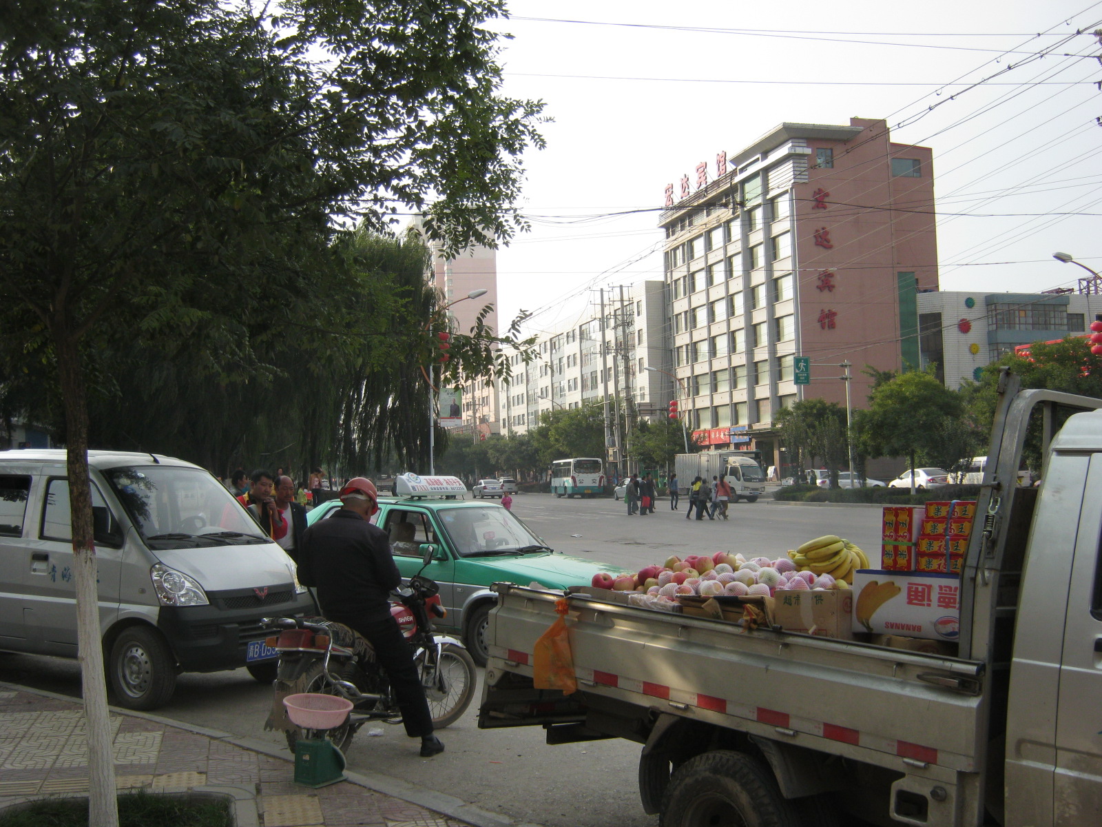 A street in Ping'an District | |
 Location of Haidong Prefecture in Qinghai | |
| Coordinates (Haidong CCP Committee, Ping'an District): 36°30′06″N 102°06′21″E | |
| Country | People's Republic of China |
| Province | Qinghai |
| Municipal seat | Ledu District |
| Area | |
| • Prefecture-level city | 13,200 km2 (5,100 sq mi) |
| Population (2019)[1] | |
| • Prefecture-level city | 1,726,100 |
| • Density | 130/km2 (340/sq mi) |
| • Urban | 611,800 |
| Time zone | UTC+8 (China Standard) |
| ISO 3166 code | CN-QH-02 |
| Website | www |
Haidong was historically populated by the Qiang people, although the area has been inhabited as early as 6000 years ago. In 121 BC the area was captured by Huo Qubing, defeating the Xiongnu. In 399 AD the Xianbei founded the state of Nanliang, with its capital in Ledu District.[3]
Geography
Haidong is the easternmost division of Qinghai province. It is bounded by Xining, the provincial capital, to the West, the Datong River Valley to the north, Gansu to the east, and the Yellow River to the south. Mountain ranges tower above the district of which the main valley is the one of the Huang Shui (Tib. Tsong Chu), a major tributary of the Yellow River. This valley stretches from west to east and makes up - together with the area around Xining, the landscape which is called Tsongkha ("Onion Valley") by Tibetans. It has a total area of 13,100 square kilometres (5,100 sq mi)
| Climate data for Haidong (Ping'an District, 1981–2010 normals) | |||||||||||||
|---|---|---|---|---|---|---|---|---|---|---|---|---|---|
| Month | Jan | Feb | Mar | Apr | May | Jun | Jul | Aug | Sep | Oct | Nov | Dec | Year |
| Average high °C (°F) | 2.4 (36.3) |
6.1 (43.0) |
11.0 (51.8) |
17.0 (62.6) |
20.9 (69.6) |
24.0 (75.2) |
26.0 (78.8) |
24.8 (76.6) |
20.2 (68.4) |
14.9 (58.8) |
9.4 (48.9) |
4.1 (39.4) |
15.1 (59.1) |
| Daily mean °C (°F) | −6.2 (20.8) |
−2.3 (27.9) |
3.2 (37.8) |
9.2 (48.6) |
13.4 (56.1) |
16.7 (62.1) |
18.7 (65.7) |
17.8 (64.0) |
13.5 (56.3) |
7.5 (45.5) |
0.9 (33.6) |
−4.6 (23.7) |
7.3 (45.2) |
| Average low °C (°F) | −12.3 (9.9) |
−8.6 (16.5) |
−2.7 (27.1) |
2.7 (36.9) |
7.1 (44.8) |
10.7 (51.3) |
13.0 (55.4) |
12.4 (54.3) |
8.8 (47.8) |
2.3 (36.1) |
−5.0 (23.0) |
−10.5 (13.1) |
1.5 (34.7) |
| Average precipitation mm (inches) | 1.3 (0.05) |
1.4 (0.06) |
5.6 (0.22) |
15.8 (0.62) |
43.9 (1.73) |
52.1 (2.05) |
72.1 (2.84) |
70.2 (2.76) |
53.4 (2.10) |
19.5 (0.77) |
2.5 (0.10) |
0.7 (0.03) |
338.5 (13.33) |
| Average relative humidity (%) | 45 | 44 | 45 | 44 | 51 | 58 | 63 | 64 | 68 | 63 | 52 | 48 | 54 |
| Source: China Meteorological Administration[4] | |||||||||||||
Administrative divisions
| Map | |||||
|---|---|---|---|---|---|
| Name | Simplified Chinese | Hanyu Pinyin | Population (2010 Census) |
Area (km²) | Density (/km²) |
| Ping'an District | 平安区 | Píng'ān Qū | 102,975 | 750 | 137 |
| Ledu District | 乐都区 | Lèdū Qū | 260,185 | 2,821 | 92 |
| Minhe Hui and Tu Autonomous County | 民和回族土族自治县 | Mínhé Huízú Tǔzú Zìzhìxiàn |
350,118 | 1,780 | 197 |
| Huzhu Tu Autonomous County | 互助土族自治县 | Hùzhù Tǔzú Zìzhìxiàn |
356,437 | 3,321 | 107 |
| Hualong Hui Autonomous County | 化隆回族自治县 | Huàlóng Huízú Zìzhìxiàn |
203,317 | 2,740 | 74 |
| Xunhua Salar Autonomous County | 循化撒拉族自治县 | Xúnhuà Sǎlāzú Zìzhìxiàn |
123,814 | 1,749 | 70 |

Demographics
As of 2005, the total population of Haidong is approximately 1,480,000. It is the most densely populated area[clarification needed] of Qinghai, with almost a third of the province's population (its surface makes up only two percent of Qinghai).
This article may be expanded with text translated from the corresponding article in Chinese (China). (November 2021) Click [show] for important translation instructions.
|
Further reading
- A. Gruschke: The Cultural Monuments of Tibet’s Outer Provinces: Amdo - Volume 1. The Qinghai Part of Amdo, White Lotus Press, Bangkok 2001. ISBN 974-480-049-6
- Tsering Shakya: The Dragon in the Land of Snows. A History of Modern Tibet Since 1947, London 1999, ISBN 0-14-019615-3
References
- "2021年海东市人口常住户籍总人数口和第七次人口普查结果-红黑人口库2021年".
- 2013年县级以上行政区划变更情况. XZQH (行政区划网). Retrieved 28 February 2013.
- "海 东 市 市 情". www.haidong.gov.cn. Retrieved 2021-02-23.
- 中国气象数据网 - WeatherBk Data (in Chinese (China)). China Meteorological Administration. Retrieved 2020-04-16.
Notes: *Provincial capitals, ★Sub-provincial cities, ☆Sub-provincial autonomous prefecture *Sub prefectural-level divisions, ✧"Comparatively larger city" (较大的市) as approved by the State Council | ||||||||||||||||||||||||||||||||||||||||||||||||||||||||||||||||
|  | |||||||||||||||||||||||||||||||||||||||||||||||||||||||||||||||
|
See also: List of prefectures in China, List of cities in China | ||||||||||||||||||||||||||||||||||||||||||||||||||||||||||||||||
На других языках
- [en] Haidong
[ru] Хайдун (округ)
Хайду́н (кит. упр. 海东, пиньинь Hǎidōng) — городской округ в провинции Цинхай КНР. Название означает «к востоку от моря» (под «морем» имеется в виду озеро Кукунор).Другой контент может иметь иную лицензию. Перед использованием материалов сайта WikiSort.org внимательно изучите правила лицензирования конкретных элементов наполнения сайта.
WikiSort.org - проект по пересортировке и дополнению контента Википедии