world.wikisort.org - China
Datong Hui and Tu Autonomous County (simplified Chinese: 大通回族土族自治县; traditional Chinese: 大通回族土族自治縣; pinyin: Dàtōng Huízú Tǔzú Zìzhìxiàn;Tibetan: གསེར་ཁོག་རྫོང་།; Xiao'erjing: دَاتْو خُوِذُو تُوذُو ذِجِشِیًا) is an autonomous county of Hui and Tu peoples in Qinghai Province, China, it is under the administration of the prefecture-level city of Xining, the capital of Qinghai.
Datong County
大通县 • གསེར་ཁོག་རྫོང་། | |
|---|---|
County | |
| 大通回族土族自治县 · دَاتْو خُوِذُو تُوذُو ذِجِشِیًا Datong Hui and Tu Autonomous County | |
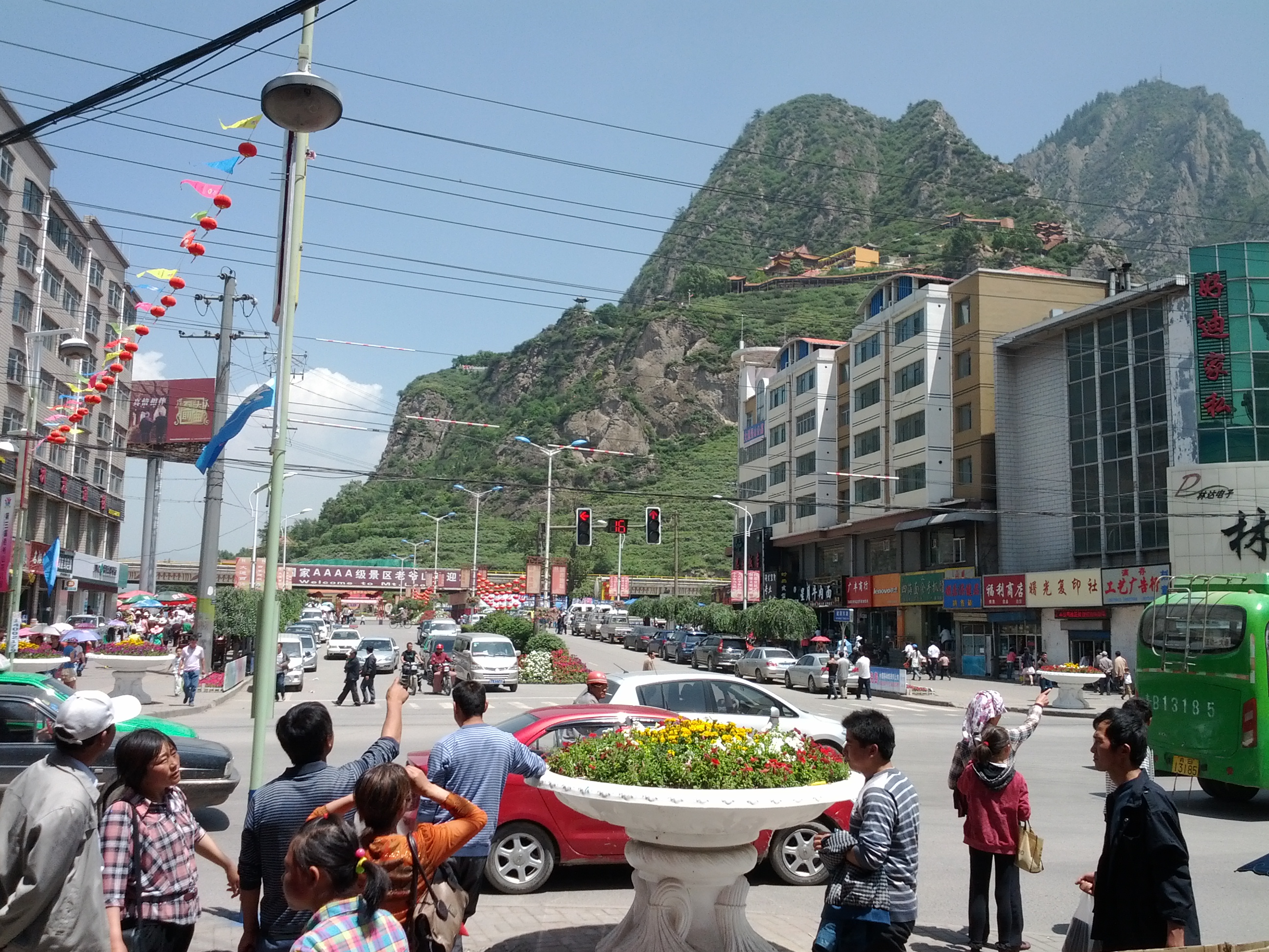
 Looking west over Datong town from Mt Laoye | |
 Location of the county (red) in Xining City (yellow) and Qinghai | |
 Location of Datong | |
| Country | People's Republic of China |
| Province | Qinghai |
| Prefecture-level city | Xining |
| Area | |
| • Total | 3,159.7 km2 (1,220.0 sq mi) |
| Elevation | 2,442 m (8,012 ft) |
| Population | 435,937 |
| Time zone | UTC+8 (China Standard) |
Since 2009 a folk music "Flower Festival" has been held annually in late July on "Mount Laoye" (2928 m) in Datong town.[1]
Transportation
- China National Highway 227
- Xining–Datong Expressway (Ningda Expressway)
- Xining–Datong Railway (Ningda Railway, 宁大铁路), a 39-km long dead-end railway branch constructed in 1966-1968 and primarily serving a local coal mine. In the past, passenger service operated on that line, but ceased in 2008.
- Lanzhou–Xinjiang High-Speed Railway (Datong West Station; 36.966168°N 101.672054°E), opened in December 2014. Very limited service.
See also
- List of administrative divisions of Qinghai
References
- Qinghai to hold 3rd flower festival China Internet Information Center June 5, 2012
This Qinghai location article is a stub. You can help Wikipedia by expanding it. |
На других языках
- [en] Datong Hui and Tu Autonomous County
[ru] Датун-Хуэй-Туский автономный уезд
Дату́н-Хуэ́й-Ту́ский автоно́мный уе́зд (кит. упр. 大通回族土族自治县, пиньинь Dàtōng Huízú Tǔzú zìzhìxiàn) — автономный уезд городского округа Синин провинции Цинхай (КНР).Текст в блоке "Читать" взят с сайта "Википедия" и доступен по лицензии Creative Commons Attribution-ShareAlike; в отдельных случаях могут действовать дополнительные условия.
Другой контент может иметь иную лицензию. Перед использованием материалов сайта WikiSort.org внимательно изучите правила лицензирования конкретных элементов наполнения сайта.
Другой контент может иметь иную лицензию. Перед использованием материалов сайта WikiSort.org внимательно изучите правила лицензирования конкретных элементов наполнения сайта.
2019-2026
WikiSort.org - проект по пересортировке и дополнению контента Википедии
WikiSort.org - проект по пересортировке и дополнению контента Википедии