world.wikisort.org - China
Chuzhou (Chinese: 滁州; pinyin: Chúzhōu) is a prefecture-level city in eastern Anhui Province, China. It borders the provincial capital of Hefei to the south and southwest, Huainan to the west, Bengbu to the northwest, and the province of Jiangsu to the east. According to the 2020 Census, the city of Chuzhou has a registered population of 3,987,054 inhabitants, whom 1,198,719 lived in the built-up (or metro) area made of 2 urban districts and now Lai'an county largely being urbanized.[2] Nevertheless, 7,260,240 persons declared to be permanent residents.[3] Its proximity to Nanjing and the building of a 54.4 km Metro line to Nanjing North station is transforming the city in a new Nanjing outer suburb.[4]
Chuzhou
滁州市 | |
|---|---|
Prefecture-level city | |
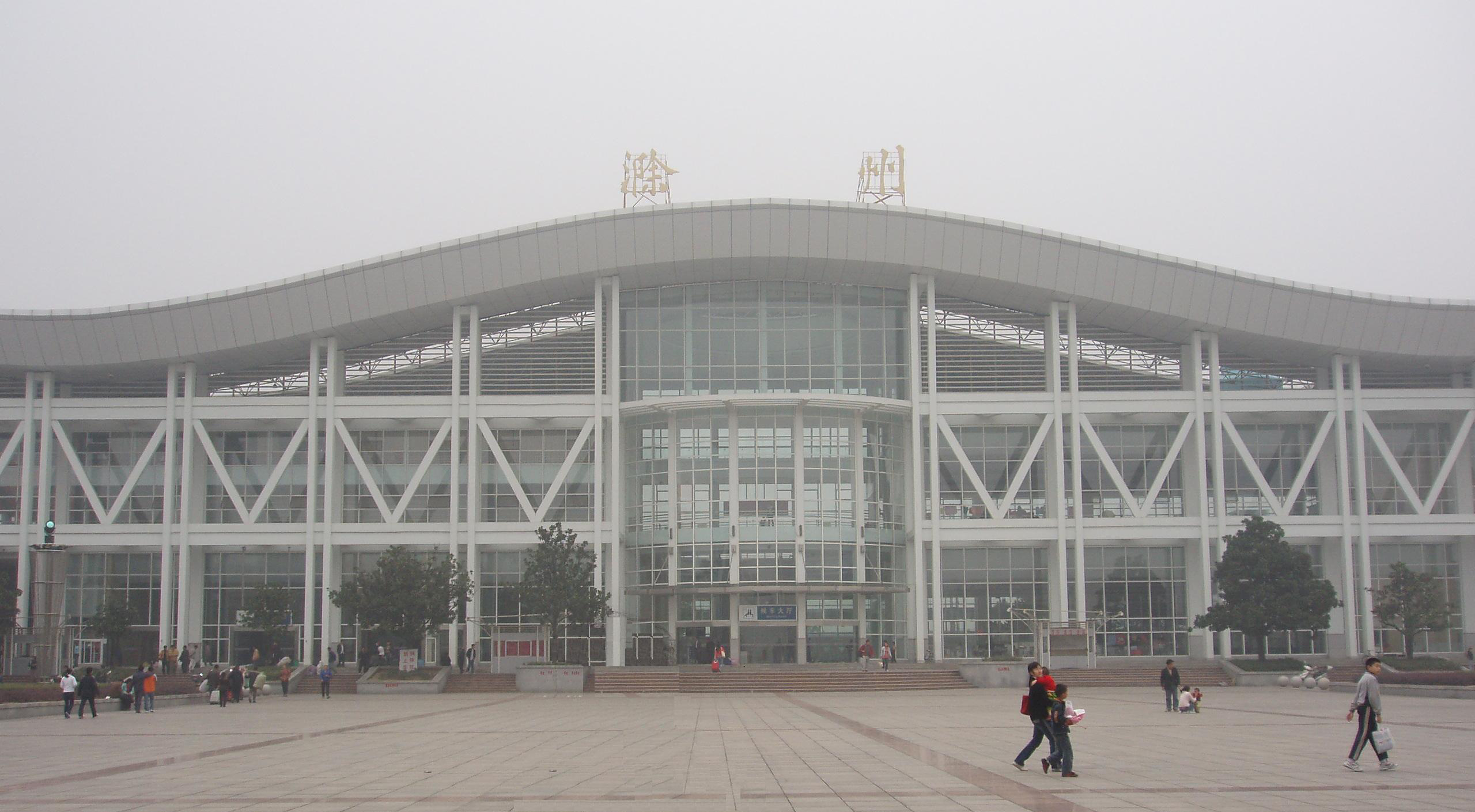 Chuzhou Railway Station | |
 Location of Chuzhou City jurisdiction in Anhui | |
| Coordinates (Chuzhou government): 32°15′22″N 118°19′59″E | |
| Country | People's Republic of China |
| Province | Anhui |
| County-level divisions | 8 |
| Township-level divisions | 178 |
| Municipal seat | Langya District |
| Government | |
| • Mayor | Zhang Xiang'an 张祥安) |
| Area | |
| • Prefecture-level city | 13,523.21 km2 (5,221.34 sq mi) |
| • Urban | 1,404.3 km2 (542.2 sq mi) |
| • Metro | 2,903 km2 (1,121 sq mi) |
| Population (2020 Census)[1] | |
| • Prefecture-level city | 3,937,868 |
| • Density | 290/km2 (750/sq mi) |
| • Urban | 782,671 |
| • Urban density | 560/km2 (1,400/sq mi) |
| • Metro | 1,198,719 |
| • Metro density | 410/km2 (1,100/sq mi) |
| Time zone | UTC+8 (CST) |
| Postal code | 239000 |
| Area code | 0550 |
| ISO 3166 code | CN-AH-11 |
| License Plate Prefix | 皖M |
Climate
Chuzhou has a monsoon-influenced, humid subtropical climate (Köppen Cfa), with four distinct seasons. Winters are cold and damp, with average low temperatures in January dipping just below freezing; the January 24-hour average temperature is 2.3 °C (36.1 °F). Summers are typically hot and humid, with a July average of 27.6 °C (81.7 °F). The annual mean is 15.42 °C (59.8 °F), while annual precipitation averages 1,054 millimetres (41 in), a majority of which occurs from May to August.
| Climate data for Chuzhou (1971−2000) | |||||||||||||
|---|---|---|---|---|---|---|---|---|---|---|---|---|---|
| Month | Jan | Feb | Mar | Apr | May | Jun | Jul | Aug | Sep | Oct | Nov | Dec | Year |
| Record high °C (°F) | 20.7 (69.3) |
26.4 (79.5) |
28.7 (83.7) |
32.8 (91.0) |
36.0 (96.8) |
37.5 (99.5) |
38.7 (101.7) |
38.3 (100.9) |
38.6 (101.5) |
34.1 (93.4) |
28.8 (83.8) |
22.1 (71.8) |
38.7 (101.7) |
| Average high °C (°F) | 6.6 (43.9) |
8.5 (47.3) |
13.1 (55.6) |
20.2 (68.4) |
25.6 (78.1) |
28.7 (83.7) |
31.5 (88.7) |
31.5 (88.7) |
27.1 (80.8) |
22.0 (71.6) |
15.6 (60.1) |
9.6 (49.3) |
20.0 (68.0) |
| Daily mean °C (°F) | 2.3 (36.1) |
4.1 (39.4) |
8.6 (47.5) |
15.3 (59.5) |
20.6 (69.1) |
24.4 (75.9) |
27.6 (81.7) |
27.2 (81.0) |
22.6 (72.7) |
17.1 (62.8) |
10.5 (50.9) |
4.7 (40.5) |
15.4 (59.7) |
| Average low °C (°F) | −1.2 (29.8) |
0.6 (33.1) |
4.6 (40.3) |
10.7 (51.3) |
16.1 (61.0) |
20.7 (69.3) |
24.3 (75.7) |
23.9 (75.0) |
19.1 (66.4) |
13.1 (55.6) |
6.4 (43.5) |
0.8 (33.4) |
11.6 (52.9) |
| Record low °C (°F) | −13 (9) |
−11.8 (10.8) |
−5.7 (21.7) |
0.2 (32.4) |
6.9 (44.4) |
12.7 (54.9) |
17.1 (62.8) |
17.4 (63.3) |
9.1 (48.4) |
1.5 (34.7) |
−6.7 (19.9) |
−12.3 (9.9) |
−13 (9) |
| Average precipitation mm (inches) | 35.6 (1.40) |
46.5 (1.83) |
78.1 (3.07) |
71.3 (2.81) |
86.3 (3.40) |
176.3 (6.94) |
207.5 (8.17) |
128.4 (5.06) |
83.0 (3.27) |
61.9 (2.44) |
55.4 (2.18) |
24.3 (0.96) |
1,054.6 (41.53) |
| Average precipitation days (≥ 0.1 mm) | 7.7 | 8.3 | 11.6 | 9.7 | 10.1 | 11.8 | 13.0 | 10.9 | 8.9 | 8.3 | 7.0 | 5.2 | 112.5 |
| Source: Weather China | |||||||||||||
Administration
The prefecture-level city of Chuzhou administers 8 county-level divisions, including 2 districts, a sub-prefecture-level city (Tianchang), a county-level city and 4 counties. The population information here presented uses 2010 census data of permanent residents.
| Map | ||||||
|---|---|---|---|---|---|---|

Tianchang
(city) | ||||||
| Name | Simplified Chinese | Hanyu Pinyin | Area (km²) | Population | Density (/km²) | |
| Districts | ||||||
| Langya District | 琅琊区 | Lángyá Qū | 181 | 310,427 | 1,715 | |
| Nanqiao District | 南谯区 | Nánqiáo Qū | 1,187 | 251,894 | 212 | |
| County-level Cities | ||||||
| Tianchang City | 天长市 | Tiāncháng Shì | 1,770 | 602,840 | 341 | |
| Mingguang City | 明光市 | Míngguāng Shì | 2,335 | 532,732 | 228 | |
| Counties | ||||||
| Lai'an County | 来安县 | Lái'ān Xiàn | 1,481 | 432,021 | 292 | |
| Quanjiao County | 全椒县 | Quánjiāo Xiàn | 1,572 | 383,885 | 244 | |
| Dingyuan County | 定远县 | Dìngyuǎn Xiàn | 2,998 | 779,174 | 260 | |
| Fengyang County | 凤阳县 | Fèngyáng Xiàn | 1,950 | 644,895 | 331 | |
These are further divided into 178 township-level divisions, including 86 towns, 78 townships and 14 subdistricts.
Tourism
Langya temple and the Deep Elegant Lake, located nearby, are popular tourist destinations.
Education
- Chuzhou University (CZHU, 滁州学院)
- Chuzhou Radio and TV University
Notable people
- Zhu Yuanzhang (1328–1398), founding emperor of the Ming Dynasty
- Wu Jingzi (1701–1754), Qing Dynasty writer, author of the satirical novel The Scholars
- Lu Yuanjiu (born 1920), physicist
- Jiang Shan (born 1962), former Communist Party Secretary of the city, dismissed for corruption
References
- "China: Ānhuī (Prefectures, Cities, Districts and Counties) - Population Statistics, Charts and Map".
- "China: Ānhuī (Prefectures, Cities, Districts and Counties) - Population Statistics, Charts and Map".
- (in Chinese)f Compilation by LianXin website. Data from the Sixth National Population Census of the People's Republic of China Archived 2012-03-25 at the Wayback Machine
- "Google Traduction".
External links
- Government website of Chuzhou (in Simplified Chinese)
- Map of chuzhou
Notes: *Provincial capitals, ★Sub-provincial cities, ☆Sub-provincial autonomous prefecture *Sub prefectural-level divisions, ✧"Comparatively larger city" (较大的市) as approved by the State Council | ||||||||||||||||||||||||||||||||||||||||||||||||||||||||||||||||
|  | |||||||||||||||||||||||||||||||||||||||||||||||||||||||||||||||
|
See also: List of prefectures in China, List of cities in China | ||||||||||||||||||||||||||||||||||||||||||||||||||||||||||||||||
Authority control | |
|---|---|
| General | |
| National libraries | |
| Other |
|
На других языках
- [en] Chuzhou
[ru] Чучжоу
Чучжо́у (кит. упр. 滁州, пиньинь Chúzhōu) — городской округ в провинции Аньхой КНР.Другой контент может иметь иную лицензию. Перед использованием материалов сайта WikiSort.org внимательно изучите правила лицензирования конкретных элементов наполнения сайта.
WikiSort.org - проект по пересортировке и дополнению контента Википедии