world.wikisort.org - China
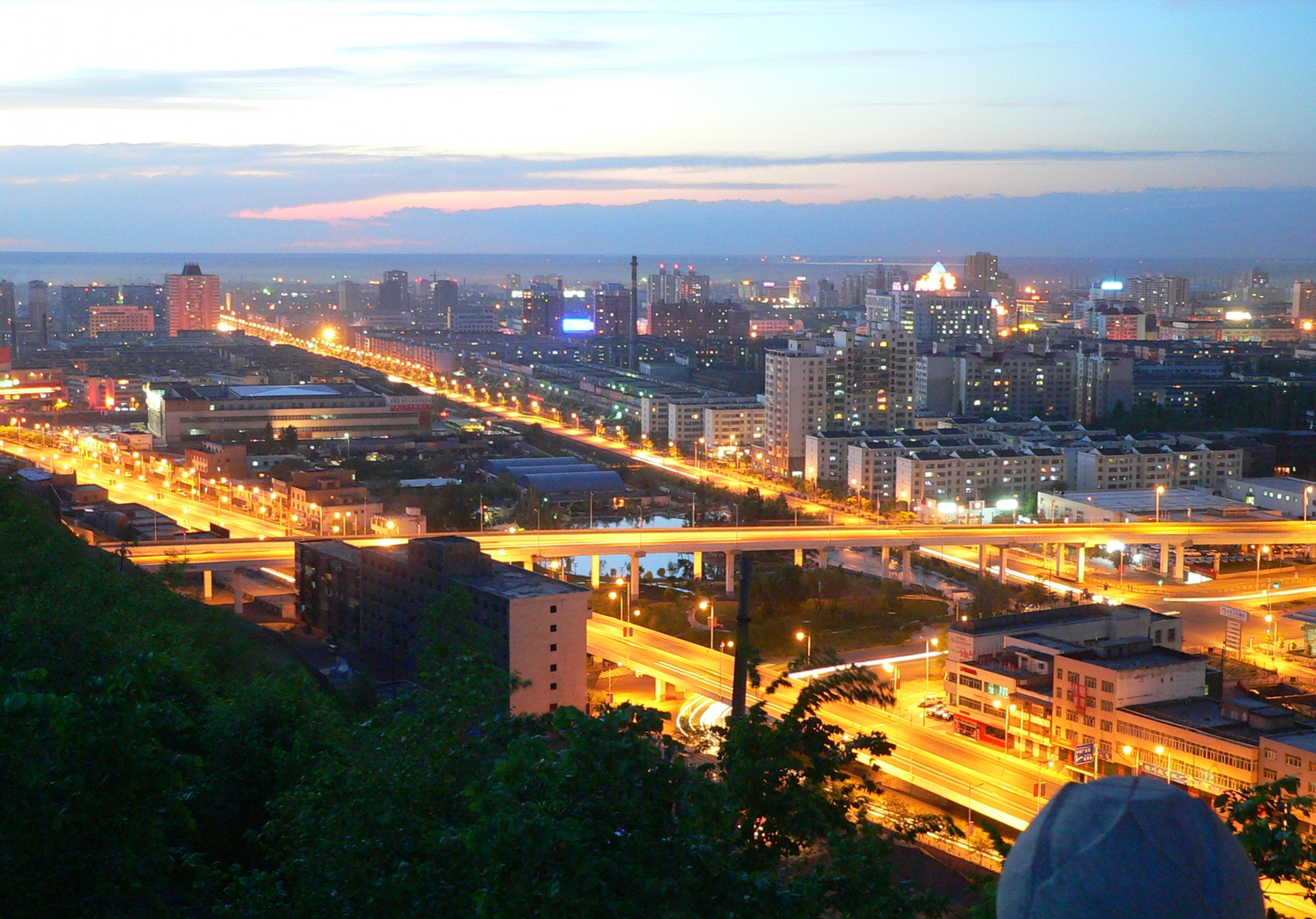
Bole as the official romanized name, also transliterated from Mongolian as Bortala, is a county-level city in Xinjiang, China. The city covers an area of 7,517 square kilometres (2,902 sq mi) and as of 2003[update] had a total population of 403,700 (2003). Bortala means "brown grasslands/steppe" in Mongolian. Bortala is the seat of Bortala Mongol Autonomous Prefecture, which borders Kazakhstan. The Northern Xinjiang Railway runs through the city along with highways to Ürümqi.
This article needs additional citations for verification. (May 2020) |
Bole
博乐市 · بورتالا شەھىرى | |
|---|---|
County-level city | |
 Sayram Lake | |
 Bole Location in Xinjiang | |
| Coordinates (Bole municipal government): 44°51′14″N 82°03′05″E | |
| Country | People's Republic of China |
| Autonomous region | Xinjiang |
| Autonomous prefecture | Bortala (Mongol) |
| Area | |
| • Total | 7,801.68 km2 (3,012.25 sq mi) |
| Elevation | 662 m (2,172 ft) |
| Population (2011) | |
| • Total | 106,400 |
| • Density | 14/km2 (35/sq mi) |
| Postal code | 833400 |
| Area code(s) | 909 |
| Vehicle registration | 新E |
| Website | www |
| Bole, Xinjiang | |||||||||||
|---|---|---|---|---|---|---|---|---|---|---|---|
| Chinese name | |||||||||||
| Simplified Chinese | 博乐 | ||||||||||
| Traditional Chinese | 博樂 | ||||||||||
| |||||||||||
| Alternative Chinese name | |||||||||||
| Simplified Chinese | 博尔塔拉 | ||||||||||
| Traditional Chinese | 博爾塔拉 | ||||||||||
| |||||||||||
| Mongolian name | |||||||||||
| Mongolian script | ᠪᠣᠷᠣᠲᠠᠯᠠ | ||||||||||
| Uyghur name | |||||||||||
| Uyghur | بۆرتالا | ||||||||||
| |||||||||||
Geography
Bole has a borderline cool arid climate (Köppen BWk) just short of a cool semi-arid climate (BSk). Like all of Xinjiang, Bole features very warm to hot summers and freezing to frigid winters. Precipitation, again common to all of Xinjiang outside the mountains, is very low and chiefly falls in summer.
| Climate data for Bole, Xinjiang (1981–2010 normals) | |||||||||||||
|---|---|---|---|---|---|---|---|---|---|---|---|---|---|
| Month | Jan | Feb | Mar | Apr | May | Jun | Jul | Aug | Sep | Oct | Nov | Dec | Year |
| Average high °C (°F) | −9.6 (14.7) |
−5.4 (22.3) |
5.2 (41.4) |
17.9 (64.2) |
25.1 (77.2) |
30.0 (86.0) |
31.7 (89.1) |
30.2 (86.4) |
23.9 (75.0) |
14.6 (58.3) |
3.1 (37.6) |
−6.7 (19.9) |
13.3 (56.0) |
| Daily mean °C (°F) | −15.7 (3.7) |
−11.5 (11.3) |
−0.1 (31.8) |
11.1 (52.0) |
17.8 (64.0) |
22.3 (72.1) |
23.8 (74.8) |
22.2 (72.0) |
16.5 (61.7) |
8.0 (46.4) |
−1.5 (29.3) |
−11.4 (11.5) |
6.8 (44.2) |
| Average low °C (°F) | −20.5 (−4.9) |
−16.7 (1.9) |
−4.8 (23.4) |
4.9 (40.8) |
11.1 (52.0) |
15.1 (59.2) |
16.5 (61.7) |
14.9 (58.8) |
9.6 (49.3) |
2.6 (36.7) |
−5.0 (23.0) |
−15.1 (4.8) |
1.1 (33.9) |
| Average precipitation mm (inches) | 5.3 (0.21) |
6.8 (0.27) |
8.9 (0.35) |
19.4 (0.76) |
32.3 (1.27) |
28.9 (1.14) |
29.1 (1.15) |
18.7 (0.74) |
17.9 (0.70) |
15.5 (0.61) |
8.5 (0.33) |
8.9 (0.35) |
200.2 (7.88) |
| Average relative humidity (%) | 81 | 80 | 73 | 55 | 52 | 52 | 56 | 56 | 59 | 67 | 79 | 83 | 66 |
| Source: China Meteorological Administration[1] | |||||||||||||
Notable persons
- Nur Bekri
References
- 中国气象数据网 - WeatherBk Data (in Chinese (China)). China Meteorological Administration. Retrieved 2020-04-15.
External links
- (in Chinese) Official website
- (in Mongolian) Official website
| |||||||||||||||||||||||||||||||||||||||||||||||||||||||||||||||||||||||||||


This Xinjiang location article is a stub. You can help Wikipedia by expanding it. |
На других языках
- [en] Bole, Xinjiang
[ru] Боро-Тала (уезд)
Боро-Тала (монг. ᠪᠣᠷᠲᠠᠯᠠ, уйг. بۆرتالا, Börtala, Bɵrtala) или Болэ́ (кит. упр. 博乐, пиньинь Bólè) — городской уезд в Боро-Тала-Монгольском автономном округе Синьцзян-Уйгурского автономного района КНР, является местом пребывания властей автономного округа. «Боро-Тала» в переводе с монгольского означает «коричневая трава».Другой контент может иметь иную лицензию. Перед использованием материалов сайта WikiSort.org внимательно изучите правила лицензирования конкретных элементов наполнения сайта.
WikiSort.org - проект по пересортировке и дополнению контента Википедии