world.wikisort.org - India
Chandrapur district (Marathi pronunciation: [t͡ʃən̪d̪ɾəpuːɾ]) (earlier known as Chanda district) is a district in the Nagpur Division in the Indian state of Maharashtra. Chandrapur was the largest district in India until the Gadchiroli and Sironcha tehsils were separated as Gadchiroli district in 1981. In 2011, the district population was 2,204,307.[1]
Chandrapur district | |
|---|---|
District of Maharashtra | |
 Uma River near Mul | |
 Chandrapur district Location in Maharashtra | |
| Country | |
| State | Maharashtra |
| Division | Nagpur |
| Headquarters | Chandrapur |
| Tehsils | 1. Chandrapur, 2. Bhadravati, 3. Warora, 4. Chimur, 5. Nagbhid, 6. Bramhapuri, 7. Sindewahi, 8. Mul, 9. Saoli, 10. Gondpimpri, 11. Rajura, 12. Korpana, 13. Pomburna, 14. Ballarpur, 15. Jivati |
| Government | |
| • Body | Chandrapur Zilla Parishad |
| • Guardian Minister | Sudhir Mungantiwar (Cabinet Minister Mha) |
| • President Zilla Parishad |
|
| • District Collector |
|
| • CEO Zilla Parishad |
|
| • MPs |
|
| Area | |
| • Total | 11,443 km2 (4,418 sq mi) |
| Population (2011) | |
| • Total | 2,204,307 |
| • Density | 190/km2 (500/sq mi) |
| • Urban | 35.12% |
| Demographics | |
| • Literacy | 88.22% (as per 2011 census) |
| • Sex ratio | 961 |
| Time zone | UTC+05:30 (IST) |
| Major highways | NH 353E, NH 930, MSH 6, MSH 9, SH 233, SH 243, SH 264 |
| Average annual precipitation | 1578 mm |
| Website | chanda |
Chandrapur district is known for its super thermal power station, and its vast reserves of coal in Wardha Valley Coalfield.[2] Chandrapur also has large reservoirs of limestone which is a raw material for cement manufacturing in the district.
Chandrapur district is known for its cleanliness. Now Chandrapur city is in the top 10 cleanest cities India and 2 in Maharashtra after Navi Mumbai by The minister of housing and urban affairs rank cities based on the cleanliness index.[3]
Tadoba Andhari Tiger Reserve in the district is one of India's twenty-eight Project Tiger reserves. The 2015 census of tigers found that 120 of Maharashtra's 170 tigers were located in Chandrapur district.[4] The district has the highest tiger population in Maharashtra which leads to several man animal conflicts.
Officer
Members of Parliament
- Suresh Narayan Dhanorkar (INC) (Chandrapur-Arni)
- Ashok Nete (BJP) (Gadchiroli–Chimur)
Guardian Minister
| Guardian Minister Chandrapur | |
|---|---|
| पालकमंत्री चंद्रपूर | |
 Emblem of India | |
 Sudhir Mungantiwar since 27 September 2022 | |
| Style | The Honourable |
| Residence | Chandrapur |
| Appointer | Chief Minister of Maharashtra |
| Term length | 5 years / No time limit |
| Website | chandrapur |
list of Guardian Minister
| Name | Term of office |
|---|---|
| Sudhir Mungantiwar | 31 October 2014 - 8 November 2019 |
| Vijay Namdevrao Wadettiwar | 9 January 2020 - 29 June 2022 |
| Sudhir Mungantiwar | 27 September 2022 - Incumbent |
District Magistrate/Collector
| District Magistrate / Collector Chandrapur | |
|---|---|
| जिल्हाधिकारी तथा जिल्हदंडाधिकरी चंद्रपूर | |
Emblem of India | |
Incumbent Shri Ajay Gulhane (IAS) since 2020 | |
| Residence | At Chandrapur district |
| Appointer | Government of Maharashtra |
| Term length | No time limit |
| Website | chandrapur |
list of District Magistrate / Collector
| Name | Term of office |
|---|---|
| Shri Ajay Gulhane (IAS) | 2020 - Incumbent |
Divisions

Chandrapur district comprises 23 census towns and 1792 villages spread over 15 talukas.[5]
| Subdivision | Talukas | Villages |
|---|---|---|
| Chandrapur | Chandrapur | 91 |
| Ballarpur | Ballarpur | 31 |
| Mul | Mul | 106 |
| Saoli | 111 | |
| Gondpimpri | Gondpimpri | 97 |
| Pombhurna | 71 | |
| Warora | Warora | 182 |
| Bhadravati | 154 | |
| Chimur | Chimur | 259 |
| Sindewahi | 115 | |
| Rajura | Rajura | 108 |
| Korpana | 110 | |
| Jiwati | 83 | |
| Bramhapuri | Bramhapuri | 136 |
| Nagbhid | 138 |
Politics
The district contains six Vidhan Sabha (legislative assembly) constituencies. They are Rajura, Chandrapur, Ballarpur, Warora, Bramhapuri and Chimur. Rajura, Chandrapur, Ballarpur, and Warora are part of the Chandrapur Lok Sabha constituency. Bramhapuri and Chimur are part of the Gadchiroli-Chimur Lok Sabha constituency.[6][7]
Demography
| Year | Pop. | ±% p.a. |
|---|---|---|
| 1901 | 397,079 | — |
| 1911 | 504,261 | +2.42% |
| 1921 | 494,594 | −0.19% |
| 1931 | 569,233 | +1.42% |
| 1941 | 651,323 | +1.36% |
| 1951 | 728,013 | +1.12% |
| 1961 | 851,678 | +1.58% |
| 1971 | 1,117,908 | +2.76% |
| 1981 | 1,416,953 | +2.40% |
| 1991 | 1,771,994 | +2.26% |
| 2001 | 2,071,101 | +1.57% |
| 2011 | 2,204,307 | +0.63% |
| source:[8] | ||
At the time of the 2011 census of India, Chandrapur district had a population of 2,204,307, which was 1.96 percent of the population of the Maharashtra state.[9] The district population density was 193 inhabitants per square kilometre (500/sq mi).[9] Between 2001 and 2011, the district population grew by 6.43 percent.[9] Females numbered 1,080,473 and males 1,123,834. For every 1,000 males, there were 961 females.[9] 80.01 percent of people in Chandrapur district were literate. Scheduled Castes and Scheduled Tribes made up 15.80% and 17.66% of the population respectively.[9]
At the time of the 2011 Census of India, 83.63% of the population in the district spoke Marathi, 7.00% Hindi, 2.58% Telugu, 1.59% Gondi and 0.98% Urdu as their first language.[11]
Marathi is the major language spoken in the district. Gondi is spoken by a significant number of tribal people.[12]
Geography
The Chandrapur district is located in the far east of Maharashtra state. It is part of Nagpur division. The district is in the eastern part of the Vidarbha region. The Chandrapur district is located between 19.30’ N and 20.45’ N latitude and at 78.46’ E longitude. The district is surrounded by Bhandara and Nagpur districts at its northern side, Wardha and Yavatmal districts at its western side, Gadchiroli district on the eastern side and Komaram Bheem and Adilabad districts of Telangana state on the southern side. In the Survey of India degree sheet, it falls in NOS 55 LF and 56 I M.
Economy
The Chandrapur district has large deposits of coal.[13] The district also has limestone mines for the manufacturing of cement.[14] The Chandrapur Super Thermal Power Station managed by the Maharashtra State Power Generation Company Limited is a thermal power plant. The Chandrapur Ferro Alloy Plant, a public sector unit engaged in the production of manganese based ferro-alloys.
In 1956, the Ballarpur Industries Limited paper mill was founded in the district. Raw materials such as bamboo, wood, sabai grass, soya bean and cottonseed oil, rags and yarn waste are sourced locally.[15]
See also
- List of talukas in Chandrapur district
- Tadoba Andhari Tiger Reserve
- Irai Dam
- Chandrapur Super Thermal Power Station
- Chandrapur Ferro Alloy Plant
- Ballarpur Industries Limited
References
- ORGI. "Census of India: Search Details". www.censusindia.gov.in. Retrieved 2 December 2017.
- "New generating unit adds 500MW capacity to CSTPS". The Times of India. Retrieved 14 November 2017.
- "These are the top 20 cleanest cities in India— Indore tops the list for fourth year in a row".
- Joshi, Saili (2 November 2017). "Tadoba's Andhari Tiger Reserve: A big delight for nature enthusiasts". The Economic Times. Retrieved 14 November 2017.
- "Talukas in Chandrapur District, Maharashtra". www.census2011.co.in. Retrieved 2 December 2017.
- "District wise List of Assembly and Parliamentary Constituencies". Chief Electoral Officer, Maharashtra website. Archived from the original on 18 March 2010. Retrieved 5 September 2010.
- "District wise List of Assembly and Parliamentary Constituencies". Chief Electoral Officer, Maharashtra website. Archived from the original on 18 March 2017. Retrieved 5 September 2010.
- Decadal Variation In Population Since 1901
- "District Census 2011 - Chandrapur" (PDF). Office of the Registrar General, India. 2011.
- "C-16 Population By Religion - Maharashtra". census.gov.in.
- 2011 Census of India, Population By Mother Tongue
- "Census of India Website : Office of the Registrar General & Census Commissioner, India". www.censusindia.gov.in. Retrieved 4 April 2019.
- "Location Map | Western Coalfields Limited". westerncoal.nic.in. Archived from the original on 15 November 2017. Retrieved 14 November 2017.
- "Mining Leases" (PDF). 2014. Archived from the original (PDF) on 23 November 2015. Retrieved 2 December 2017.
- Bapat, S. P. (2006). Spatial Efficiency in Geography. Concept Publishing Company. p. 65. ISBN 9788180692826.
External links
- Official Website of Chandrapur District
- Chandrapur Land Information
- Chandrapur District Complaint Center
Places adjacent to Chandrapur district | ||||||||||||||||
|---|---|---|---|---|---|---|---|---|---|---|---|---|---|---|---|---|
| ||||||||||||||||
Chandrapur district topics | ||
|---|---|---|
| History |
|  |
| Geography |
| |
| Cities and towns | ||
| Lok Sabha constituencies |
| |
| Vidhan Sabha constituencies |
| |
| Districts of Vidarbha | |
|---|---|
| Cities with municipal corporations | |
Portal:India | |
| Topics |
| ||||||||||||
|---|---|---|---|---|---|---|---|---|---|---|---|---|---|
| Regions |
| ||||||||||||
| Divisions and Districts |
| ||||||||||||
| Million-plus cities in Maharashtra |
| ||||||||||||
| Other cities with municipal corporations | |||||||||||||
Portal:India | |||||||||||||
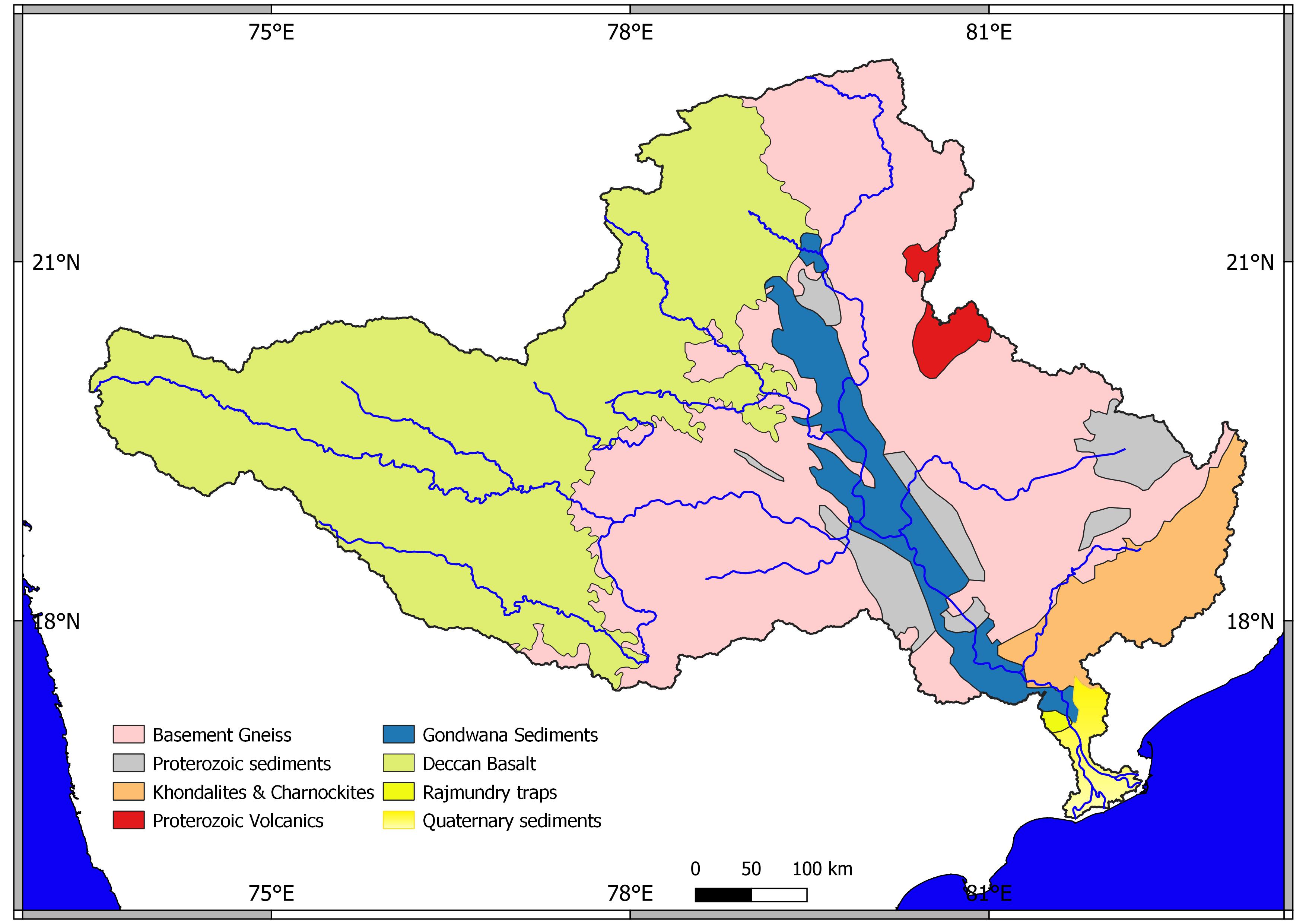
Godavari basin | |||||||||||||||
|---|---|---|---|---|---|---|---|---|---|---|---|---|---|---|---|
| Rivers |
|    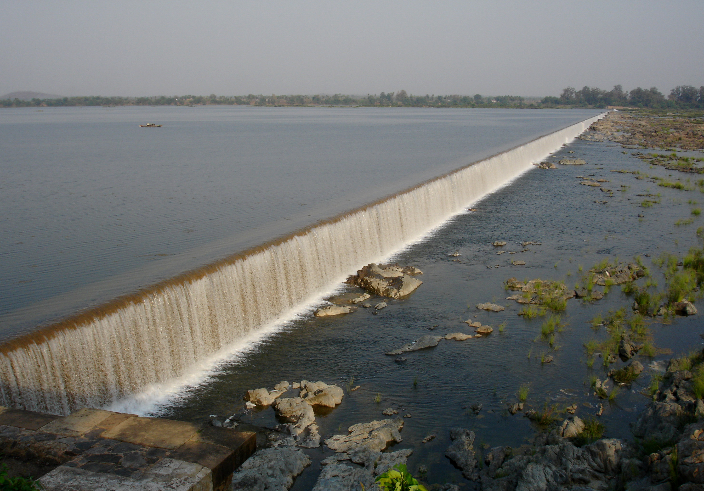 | |||||||||||||
| Dams, barrages |
| ||||||||||||||
| Geographical features / regions | |||||||||||||||
| Riparian districts |
| ||||||||||||||
| Cities | |||||||||||||||
| Languages / people | |||||||||||||||
| Coalfields |
| ||||||||||||||
| Oil / gas fields |
| ||||||||||||||
| Industries |
| ||||||||||||||
| Transport |
| ||||||||||||||
| Pollution concerns, River basin's sustainable productivity & ecology |
| ||||||||||||||
| Related topics |
| ||||||||||||||
| Other basins | |||||||||||||||
Authority control | |
|---|---|
| General | |
| National libraries | |
На других языках
[de] Chandrapur (Distrikt)
Der Distrikt Chandrapur (früher Chanda; Marathi: .mw-parser-output .Deva{font-size:120%}@media all and (min-width:800px){.mw-parser-output .Deva{font-size:calc(120% - ((100vw - 800px)/80))}}@media all and (min-width:1000px){.mw-parser-output .Deva{font-size:100%}}चंद्रपूर जिल्हा) ist einer von 35 Distrikten des Staates Maharashtra in Indien.- [en] Chandrapur district
[ru] Чандрапур (округ)
Чандрапур (маратх. चंद्रपूर जिल्हा; англ. Chandrapur) — округ в индийском штате Махараштра. Образован 1 мая 1960 года. Административный центр — город Чандрапур. Площадь округа — 10 695 км². По данным всеиндийской переписи 2001 года население округа составляло 2 071 101 человек. Уровень грамотности взрослого населения составлял 73,2 %, что выше среднеиндийского уровня (59,5 %). Доля городского населения составляла 32,1 %.Другой контент может иметь иную лицензию. Перед использованием материалов сайта WikiSort.org внимательно изучите правила лицензирования конкретных элементов наполнения сайта.
WikiSort.org - проект по пересортировке и дополнению контента Википедии