world.wikisort.org - India
Beed district (Marathi pronunciation: [biːɖ]) is an administrative district in the state of Maharashtra in India. The district headquarters are located at Beed. The district occupies an area of 10,693 km² and has a population of 2,585,049 of which 17.91% were urban (as of 2011).[3]
Beed district | |
|---|---|
District of Maharashtra | |
 Barakhambi Temple in Ambajogai | |
 Location in Maharashtra | |
 Beed district | |
| Country | |
| State | Maharashtra |
| Division | Aurangabad |
| Headquarters | Beed |
| Tehsils | 1. Beed, 2. Ashti, 3. Patoda, 4. Shirur Kasar, 5. Georai, 6. Ambajogai, 7. Wadwani, 8. Kaij, 9. Dharur, 10. Parali, 11. Majalgaon |
| Government | |
| • Body | Beed Zilla Parishad |
| • Guardian Minister | Atul Save (Cabinet Minister Mha) |
| • President Zilla Parishad |
|
| • District Collector |
|
| • CEO Zilla Parishad |
|
| • MPs |
|
| Area | |
| • Total | 10,693 km2 (4,129 sq mi) |
| Population (2011) | |
| • Total | 2,585,049 |
| • Density | 240/km2 (630/sq mi) |
| • Urban | 17.91% |
| Time zone | UTC+05:30 (IST) |
| Vehicle registration | MH 23,MH44 |
| Official Language | Marathi |
| Per capita income(Beed district) | INR 1,21,515(2020-21)[1] |
| Nominal gross domestic product(Beed district) | INR 37,672crores (2020-21)[2] |
| Website | beed |
Officer
Members of Parliament
- Pritam Munde (BJP)
(Beed)
Guardian Minister
| Guardian Minister Beed | |
|---|---|
| पालकमंत्री बीड | |
 Emblem of India | |
Incumbent Atul Save since 27 September 2022 | |
| Style | The Honourable |
| Appointer | Chief Minister of Maharashtra |
| Term length | 5 years / No time limit |
| Website | beed |
list of Guardian Minister
| Name | Term of office |
|---|---|
| Pankaja Munde | 31 October 2014 - 8 November 2019 |
| Dhananjay Munde | 9 January 2020 - 29 June 2022 |
| Atul Save | 27 September 2022 - Incumbent |
District Magistrate/Collector
| District Magistrate / Collector Beed | |
|---|---|
| जिल्हाधिकारी तथा जिल्हदंडाधिकरी बीड | |
Emblem of India | |
Incumbent Shri. Radhabinod A. Sharma (IAS)' since 2020 | |
| Residence | At Beed district |
| Appointer | Government of Maharashtra |
| Term length | No time limit |
| Website | beed |
list of District Magistrate / Collector
| Name | Term of office |
|---|---|
| Shri. Radhabinod A. Sharma (IAS) | 2020 - Incumbent |
History
Beed district has a long history of many rulers and kingdoms. In the ancient era, this city was called as Champavati nagari. The city still proudly shows some old monuments showing the signs of past glory in the form of many city entry doors (called Ves in local language) and city protection walls. Until the 19th century, this part of Marathwada was under the Nizam monarchy, but was later included into the Indian Republic after a fierce struggle between Indian freedom fighters and Nizam soldiers. The name of Bhir is given by Mohammad Tughlaq.
Economy
Agriculture is the main business in Beed, and it is largely dependent on monsoon rain. Beed also is a district which provides a large number sugarcane cutters. A large area of Beed is Rocky and hilly especially the Georai, Ashti, Ambajogai , Kaij and Patoda Taluka, these are the places where Custard apple is cultivated.
Divisions
This district is divided into eleven talukas (or tehsils). These are:
Demographics
According to the 2011 census Beed district has a population of 2,585,049,[4] roughly equal to the nation of Kuwait[5] or the US state of Nevada.[6] This gives it a ranking of 160th in India (out of a total of 640).[4] The district has a population density of 242 inhabitants per square kilometre (630/sq mi) .[4] Its population growth rate over the decade 2001-2011 was 19.65%.[4] Beed has a sex ratio of 912 females for every 1000 males. Scheduled Castes and Scheduled Tribes make up 13.59% and 1.27% of the population respectively.[4]
At the time of the 2011 Census of India, 83.38% of the population in the district spoke Marathi, 8.62% Urdu, 3.93% Hindi and 2.37% Lambadi as their first language.[8]
| Year | Pop. | ±% p.a. |
|---|---|---|
| 1901 | 481,140 | — |
| 1911 | 606,104 | +2.34% |
| 1921 | 453,844 | −2.85% |
| 1931 | 616,675 | +3.11% |
| 1941 | 691,946 | +1.16% |
| 1951 | 784,920 | +1.27% |
| 1961 | 949,673 | +1.92% |
| 1971 | 1,223,694 | +2.57% |
| 1981 | 1,412,990 | +1.45% |
| 1991 | 1,822,072 | +2.58% |
| 2001 | 2,161,250 | +1.72% |
| 2011 | 2,585,049 | +1.81% |
| source:[9] | ||
See also
- Tourism in Marathwada
References
- Records, Official. "District Per capita income of Maharashtra 2011-12 to 2020-21". Planning Department, Government of Maharashtra, India. Maharashtra Vidhanmandal.
- Records, Official. "District nominal gross Domestic Product of Maharashtra 2011-12 to 2020-21". Planning Department, Government of Maharashtra, India. Maharashtra Vidhanmandal.
- "Census GIS India". Archived from the original on 11 January 2010. Retrieved 27 August 2009.
- "District Census 2011 - Beed" (PDF). Office of the Registrar General, India. 2011. Archived (PDF) from the original on 21 November 2017.
- US Directorate of Intelligence. "Country Comparison:Population". Archived from the original on 13 June 2007. Retrieved 1 October 2011.
Kuwait 2,595,62
- "2010 Resident Population Data". U. S. Census Bureau. Archived from the original on 19 October 2013. Retrieved 30 September 2011.
Nevada 2,700,551
- "C-16 Population By Religion - Maharashtra". census.gov.in.
- "Table C-16 Population by Mother Tongue: Maharashtra". censusindia.gov.in. Registrar General and Census Commissioner of India.
- Decadal Variation In Population Since 1901
External links
Places adjacent to Beed district | ||||||||||||||||
|---|---|---|---|---|---|---|---|---|---|---|---|---|---|---|---|---|
| ||||||||||||||||
| Topics |
| ||||||||||||
|---|---|---|---|---|---|---|---|---|---|---|---|---|---|
| Regions |
| ||||||||||||
| Divisions and Districts |
| ||||||||||||
| Million-plus cities in Maharashtra |
| ||||||||||||
| Other cities with municipal corporations | |||||||||||||
Portal:India | |||||||||||||
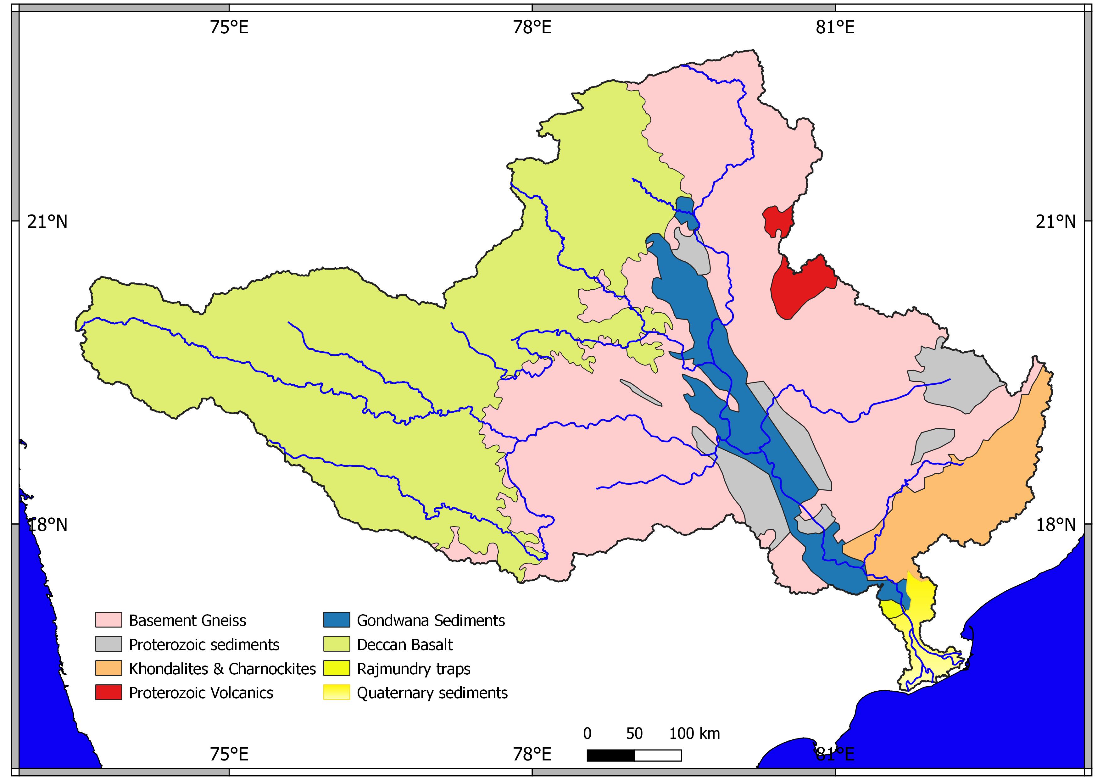
Godavari basin | |||||||||||||||
|---|---|---|---|---|---|---|---|---|---|---|---|---|---|---|---|
| Rivers |
|    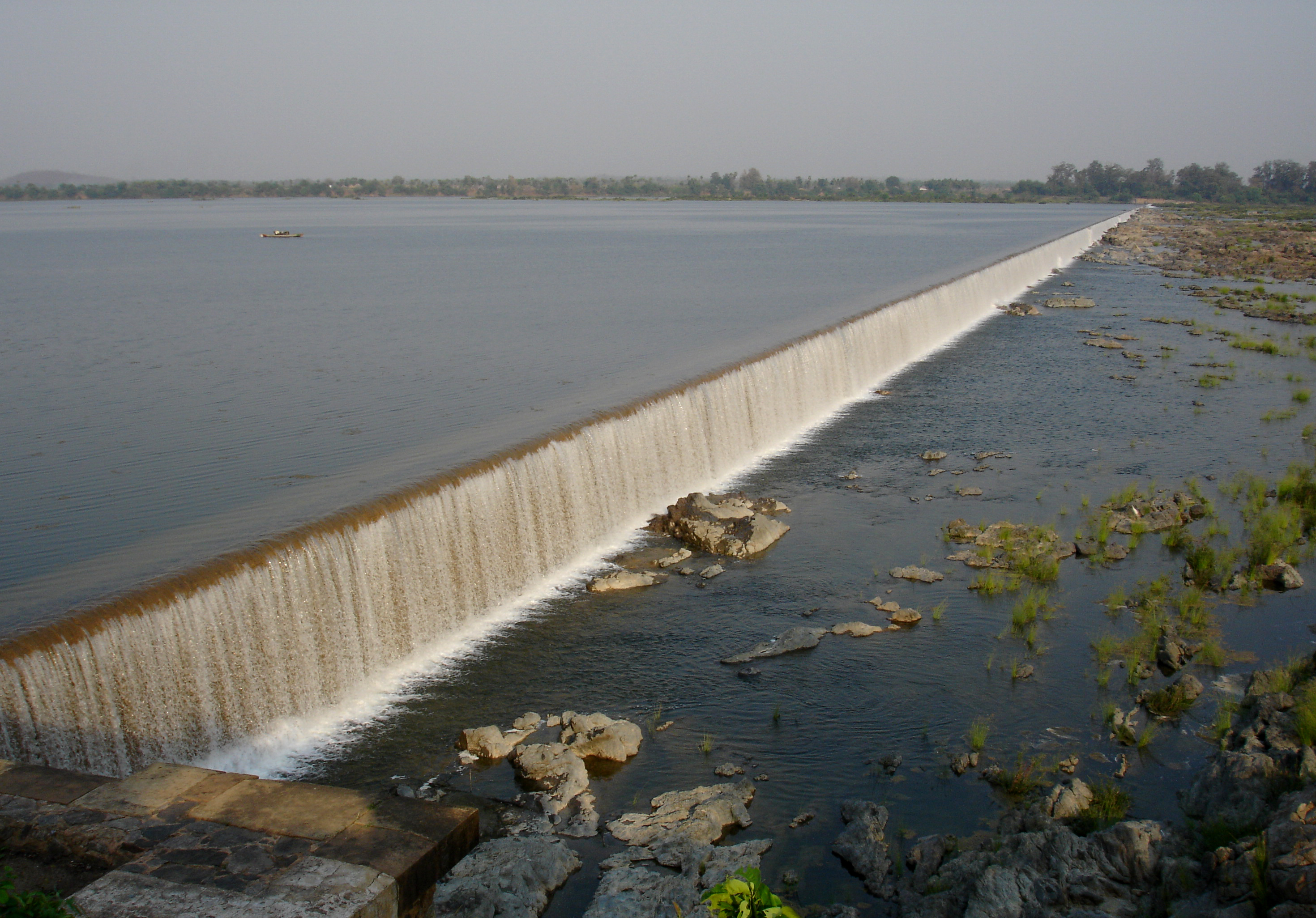 | |||||||||||||
| Dams, barrages |
| ||||||||||||||
| Geographical features / regions | |||||||||||||||
| Riparian districts |
| ||||||||||||||
| Cities | |||||||||||||||
| Languages / people | |||||||||||||||
| Coalfields |
| ||||||||||||||
| Oil / gas fields |
| ||||||||||||||
| Industries |
| ||||||||||||||
| Transport |
| ||||||||||||||
| Pollution concerns, River basin's sustainable productivity & ecology |
| ||||||||||||||
| Related topics |
| ||||||||||||||
| Other basins | |||||||||||||||
Authority control | |
|---|---|
| General |
|
| National libraries | |
На других языках
[de] Beed (Distrikt)
Beed (Marathi: बीड, Bīḍ, Urdu: بیڑ Bhir, Bid) ist ein Distrikt im indischen Bundesstaat Maharashtra.- [en] Beed district
[ru] Бид (округ)
Бид (маратх. बीड जिल्हा; англ. Beed) или Бхир (англ. Bhir) — округ в индийском штате Махараштра. Образован 1 мая 1960 года. Административный центр — город Бид. Площадь округа — 10 693 км². По данным всеиндийской переписи 2001 года население округа составляло 2 161 250 человек. Уровень грамотности взрослого населения составлял 68 %, что выше среднеиндийского уровня (59,5 %). Доля городского населения составляла 17,9 %.Другой контент может иметь иную лицензию. Перед использованием материалов сайта WikiSort.org внимательно изучите правила лицензирования конкретных элементов наполнения сайта.
WikiSort.org - проект по пересортировке и дополнению контента Википедии