world.wikisort.org - India
Nirmal district is a district located in the northern region of the Indian state of Telangana.[2][3] The district headquarters is located in the town of Nirmal. It borders the Telangana districts of Adilabad, Nizamabad, Mancherial, Asifabad, Jagtial districts as well as Nanded district of the state Maharashtra.
Nirmal district | |
|---|---|
District of Telangana | |
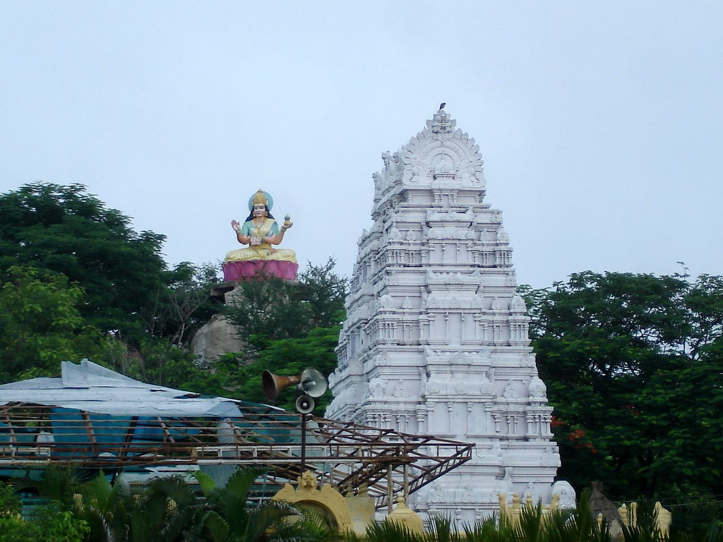 Gnana Saraswati Temple in Basar | |
 Nirmal district | |
| Country | |
| State | Telangana |
| Headquarters | Nirmal |
| Mandalas | 19 |
| Government | |
| • District collector | Musharraf Faruqui, IAS |
| • Parliament Constituencies | Adilabad |
| • Assembly constituencies | Nirmal,Khanapur,Mudhole |
| • MP | Soyam Bapu Rao |
| Area | |
| • Total | 3,845 km2 (1,485 sq mi) |
| Population (2011) | |
| • Total | 709,418 |
| • Density | 180/km2 (480/sq mi) |
| Demographics | |
| • Literacy | 57.77 % |
| Time zone | UTC+05:30 (IST) |
| Vehicle registration | TS–18[1] |
| Major highways | 434 km |
| Website | nirmal |
Geography
The district is situated on the Deccan Plateau comprising fertile lands drained by the Godavari River, that flows along its southern boundary. The district is spread over an area of 3,845 square kilometres (1,485 sq mi).[4] The district is landlocked; It shares boundaries with Adilabad to the north, Komaram Bheem to the northeast, Mancherial to the east, Jagityal and Nizamabad (along with the Godavari) to the south and Nanded District of Maharashtra to the west.
Demographics
As of 2011[update] Census of India, the district had a population of 709,418.[4] The district has the highest female to male ratio in Telangana, with 1046 females to 1000 males. More than 78% of the population lives in rural areas. With only 185 people per km2, the district has the 6th lowest population density among all of the districts in Telangana. The literacy rate is 58%. There are 376,760 labourers and 126,363 farmers. Scheduled Castes and Scheduled Tribes make up 15.24% and 11.36% of the population respectively.[6]
At the time of the 2011 census, 65.52% of the population spoke Telugu, 13.54% Urdu, 10.88% Marathi, 6.43% Lambadi and 1.52% Gondi as their first language.[7]
Administration

The district has two revenue divisions of Nirmal and Bhainsa, which are in-turn sub-divided into 19 mandals.
| No. | Nirmal revenue division | Bhainsa revenue division |
|---|---|---|
| 1 | Nirmal Rural | Kubeer |
| 2 | Soan | Kuntala |
| 3 | Dilwarpur | Bhainsa |
| 4 | Narsapur G | Mudhole |
| 5 | Kaddam | Basar |
| 6 | Dasturabad | Lokeswaram |
| 7 | Khanapur | Tanoor |
| 8 | Mamda | |
| 9 | Pembi | |
| 10 | Laxmanchanda | |
| 11 | Sarangapur |
Tourism and culture
Sri Ram Sagar Project is located at the border of the Nirmal and Nizamabad districts. It is the center of attraction for tourists.
Kadem Project, Saraswati Temple Basar, Kawal Tiger Reserve Kadem, Sadarmat are all major tourist destinations in Nirmal.[4][8][9]
See also
- List of districts in Telangana
References
- "Telangana New Districts Names 2016 Pdf TS 31 Districts List". Timesalert.com. 11 October 2016. Archived from the original on 11 October 2016. Retrieved 11 October 2016.
- "Nirmal district" (PDF). Chief Commissioner of Land Administration. Archived from the original (PDF) on 9 September 2016. Retrieved 22 August 2016.
- "New districts map". newdistrictsformation.telangana.gov.in. Retrieved 22 August 2016.[permanent dead link]
- "New districts". Andhra Jyothy.com. 8 October 2016. Retrieved 8 October 2016.
- "C-01 Population By Religious Community: Andhra Pradesh". Registrar General and Census Commissioner of India.
- "Demography | Nirmal District | India". Retrieved 4 June 2021.
- "Table C-16 Population by Mother Tongue: Andhra Pradesh". Census of India. Registrar General and Census Commissioner of India.
- "Clipping of Andhra Jyothy Telugu Daily – Hyderabad". Andhra Jyothy. Retrieved 8 October 2016.
- "K Chandrasekhar Rao appoints collectors for new districts". Deccan Chronicle. 11 October 2016. Retrieved 13 October 2016.
Places adjacent to Nirmal district | ||||||||||||||||
|---|---|---|---|---|---|---|---|---|---|---|---|---|---|---|---|---|
| ||||||||||||||||
Capital: Hyderabad | |
| Topics |
|
| Dynasties |
|
| Districts |
|
| Commissionerates |
|
| Major cities | |
| Tourism |
|
| Municipal corporations |
|
| Related lists |
|
На других языках
[de] Nirmal (Distrikt)
Der Distrikt Nirmal (Telugu నిర్మల్ జిల్లా, Urdu نرمل ضلع) ist ein Distrikt des indischen Bundesstaats Telangana. Verwaltungssitz ist die Stadt Nirmal.- [en] Nirmal district
Другой контент может иметь иную лицензию. Перед использованием материалов сайта WikiSort.org внимательно изучите правила лицензирования конкретных элементов наполнения сайта.
WikiSort.org - проект по пересортировке и дополнению контента Википедии