world.wikisort.org - India
Vikarabad district is a district in the Indian state of Telangana. Vikarabad is the headquarters of the district.[2][3].The district shares boundaries with Sangareddy, Mahabubnagar, Narayanpet, Rangareddy districts and the state boundary of Karnataka.
Vikarabad district | |
|---|---|
District of Telangana | |
 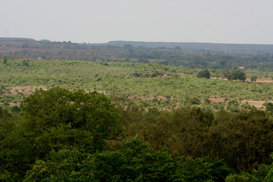 Top: Anantha Padmanabha Swamy Temple Bottom: Ananatagiri Hills | |
 Vikarabad district Location in Telangana | |
| Country | |
| State | Telangana |
| Headquarters | Vikarabad |
| Mandalas | 18 |
| Government | |
| • District collector | Pausumi Basu |
| • Parliamentary constituencies | Chevella, Mahbubnagar |
| • Assembly constituencies | 4 |
| Area | |
| • Total | 3,386.00 km2 (1,307.34 sq mi) |
| Population (2011) | |
| • Total | 927,140 |
| • Density | 270/km2 (710/sq mi) |
| Time zone | UTC+05:30 (IST) |
| Vehicle registration | TS–34[1] |
| Website | vikarabad |
Geography
The district is spread over an area of 3,386.00 square kilometres (1,307.34 sq mi).[2] This district is bounded by Sangareddy district in the north, Rangareddy district in the east, Mahbubnagar district in the south and Karnataka in the west.
Demographics
As of 2011[update] Census of India, the district has a population of 927,140.[2]
Administrative divisions
The district will have two revenue divisions of Tandur and Vikarabad. It is sub-divided into 18 mandals.[3]Smt Nikhila I.A.S. is the present collector of the district.[4] Vikarabad Revenue Division formed with Marpalle, Mominpet, Nawabpet, Vikarabad, Pudur, Kulkacherla, Doma, Pargi, Dharur, Kotepally, Bantwaram mandals from Rangareddy District. Tandur Revenue Division formed with Basheerabad, Doulthabad, Tandur, Peddemul, Yelal mandals from Rangareddy District and Kodangal, Bommaraspet mandals from Mahaboobnagar District.
See also
- List of districts in Telangana
References
- "Telangana New Districts Names 2016 Pdf TS 31 Districts List". Timesalert.com. 11 October 2016. Retrieved 11 October 2016.
- "Vikarabad district". Official website Vikarabad district. Retrieved 31 March 2017.
- "Vikarabad district" (PDF). New Districts Formation Portal. Government of Telangana. Archived from the original (PDF) on 12 October 2016. Retrieved 23 March 2017.
- "K Chandrasekhar Rao appoints collectors for new districts". Deccan Chronicle. 11 October 2016. Retrieved 13 October 2016.
External links
Capital: Hyderabad | |
| Topics |
|
| Dynasties |
|
| Districts |
|
| Commissionerates |
|
| Major cities | |
| Tourism |
|
| Municipal corporations |
|
| Related lists |
|
На других языках
[de] Vikarabad (Distrikt)
Der Distrikt Vikarabad (Telugu వికారాబాదు జిల్లా, Urdu وقار آباد ضلع) ist ein Verwaltungsdistrikt im südindischen Bundesstaat Telangana. Verwaltungssitz ist die Stadt Vikarabad.- [en] Vikarabad district
Другой контент может иметь иную лицензию. Перед использованием материалов сайта WikiSort.org внимательно изучите правила лицензирования конкретных элементов наполнения сайта.
WikiSort.org - проект по пересортировке и дополнению контента Википедии