world.wikisort.org - Japan
Tottori Prefecture (鳥取県, Tottori-ken) is a prefecture of Japan located in the Chūgoku region of Honshu.[1] Tottori Prefecture is the least populous prefecture of Japan at 570,569 (2016) and has a geographic area of 1,354 square miles (3,510 km2). Tottori Prefecture borders Shimane Prefecture to the west, Hiroshima Prefecture to the southwest, Okayama Prefecture to the south, and Hyōgo Prefecture to the east.
Tottori Prefecture
鳥取県 | |
|---|---|
Prefecture | |
| Japanese transcription(s) | |
| • Japanese | 鳥取県 |
| • Rōmaji | Tottori-ken |
 Tottori Sand Dunes near Tottori City, a popular tourist attraction in Tottori Prefecture | |
 Flag  Symbol | |
| Anthem: Wakiagaru chikara | |
 | |
| Coordinates: 35.449°N 133.766°E | |
| Country | Japan |
| Region | Chūgoku (San'in) |
| Island | Honshu |
| Capital | Tottori |
| Subdivisions | Districts: 5, Municipalities: 19 |
| Government | |
| • Governor | Shinji Hirai |
| Area | |
| • Total | 3,507.05 km2 (1,354.08 sq mi) |
| • Rank | 41st |
| Population (June 1, 2016) | |
| • Total | 570,569 |
| • Rank | 47th |
| • Density | 163/km2 (420/sq mi) |
| • Dialects | Inshū・Kurayoshi・West Hōki |
| ISO 3166 code | JP-31 |
| Website | www |
| Symbols | |
| Bird | Mandarin duck (Aix galericulata) |
| Flower | Nijisseiki nashi pear blossom (Pyrus pyrifolia) |
| Tree | Daisenkyaraboku (Taxus cuspidata) |

Tottori is the capital and largest city of Tottori Prefecture, with other major cities including Yonago, Kurayoshi, and Sakaiminato.[2] Tottori Prefecture is home to the Tottori Sand Dunes, the largest sand dunes system in Japan, and Mount Daisen, the highest peak in the Chūgoku Mountains.
Etymology
The word "Tottori" in Japanese is formed from two kanji characters. The first, 鳥, means "bird" and the second, 取 means "to get". Early residents in the area made their living catching the region's plentiful waterfowl. The name first appears in the Nihon shoki in the 23rd year of the Emperor Suinin (213 AD) when Yukuha Tana, an elder from the Izumo, visits the emperor. The imperial Prince Homatsu-wake was unable to speak, despite being 30 years of age.
"Yukuha Tana presented the swan to the emperor. Homatsu-wake no Mikoto played with this swan and at last learned to speak. Therefore, Yukaha Tana was liberally rewarded, and was granted the title of Tottori no Miyakko." (Aston, translation)[3]
History

Early history
Tottori Prefecture was settled very early in the prehistoric period of Japan, as evidenced by remains from the Jōmon period (14,000 – 300 BC).[4] The prefecture has the remains of the largest known Yayoi period (300 BC – 250 AD) settlement in Japan, the Mukibanda Yayoi remains, located in the low foothills of Mount Daisen[5] in the cities of Daisen and Yonago.[6] Numerous kofun tumuli from the Kofun period (250 – 538) are located across the prefecture.[7] In 645, under the Taika reforms, the area in present-day Tottori Prefecture became two provinces, Hōki and Inaba.[8]
Later history
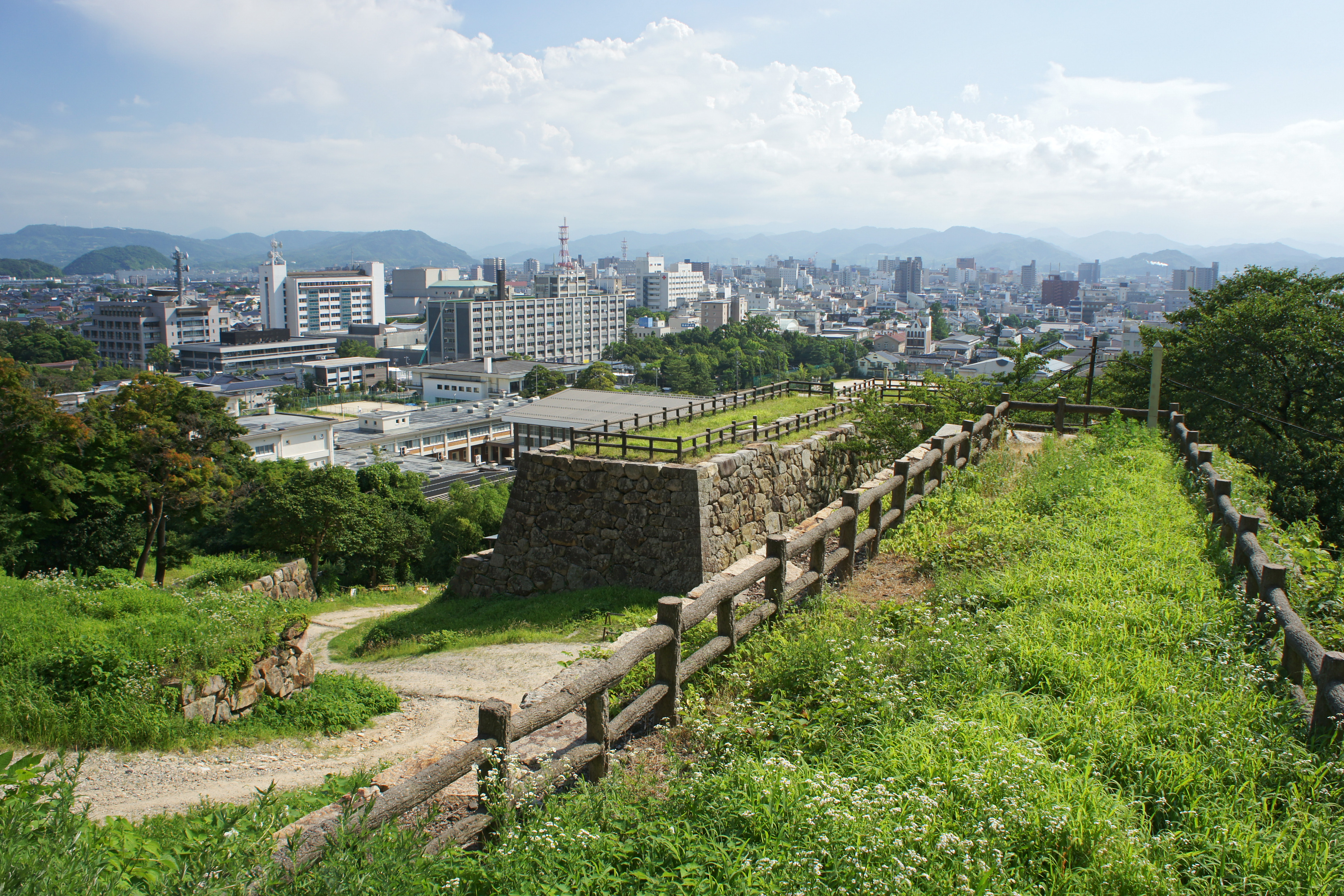
During the Genpei War (1180–1185) between the Taira and Minamoto clans in the late-Heian period, Tottori became a base for anti-Taira forces, specifically at two temples, Daisen-ji and Sanbutsu-ji. By the beginning of the Kamakura period (1185–1333) shōen estates were established to directly support the Imperial court and various temples. Successive clans controlled the region during the Sengoku period (15th to 17th century), most notably the Yamana clan, but after the Battle of Sekigahara in 1600 the region was pacified. The Tokugawa shogunate installed the Ikeda clan at Tottori Castle. The clan retained control of the area until throughout the Edo period (1603–1868) and the resources of the area financially and materially supported the shogunate.[9]
Modern history
The two provinces remained in place until the Meiji Restoration in 1868, and the boundaries of Tottori Prefecture were established in 1888.[4] After the occupation of Korea and Taiwan in the 20th century, and the establishment of the Manchukuo puppet state in 1932, Tottori's harbors on the Japan Sea served as an active transit point for goods between Japan and the colonial areas. Before the end of World War II the prefecture was hit by a massive magnitude 7.2 earthquake, the 1943 Tottori earthquake, which destroyed 80% of the city of Tottori, and greatly damaged the surrounding area. In the postwar period land reform was carried out in the prefecture, resulting in a great increase of agricultural production.[9]
Geography

City Town Village
Tottori is home to the Tottori Sand Dunes, Japan's only large dune system. As of 1 April 2012, 14% of the total land area of the prefecture was designated as Natural Parks, namely the Daisen-Oki and Sanin Kaigan National Parks; Hiba-Dōgo-Taishaku and Hyōnosen-Ushiroyama-Nagisan Quasi-National Parks; and Misasa-Tōgōko, Nishi Inaba, and Okuhino Prefectural Natural Parks.[10]
Mount Misumi is located within the former area of Mochigase that was merged into the city of Tottori in 2004.
Cities
Four cities are located in Tottori Prefecture:
| Name | Area (km2) | Population | Map | |
|---|---|---|---|---|
| Rōmaji | Kanji | |||
| 倉吉市 | 272.06 | 48,558 | ||
| 境港市 | 29.02 | 33,888 | ||
| 鳥取市 | 765.31 | 192,912 | ||
| 米子市 | 132.42 | 148,720 | ||
Towns and villages
These are the towns and villages in each district:
| Name | Area (km2) | Population | District | Type | Map | |
|---|---|---|---|---|---|---|
| Rōmaji | Kanji | |||||
| 智頭町 | 224.61 | 7,031 | Yazu District | Town | ||
| 大山町 | 189.83 | 16,357 | Saihaku District | Town | ||
| 日吉津村 | 4.2 | 3,439 | Saihaku District | Village | ||
| 日野町 | 133.98 | 3,202 | Hino District | Town | ||
| 伯耆町 | 139.44 | 11,071 | Saihaku District | Town | ||
| 北栄町 | 56.94 | 14,718 | Tōhaku District | Town | ||
| 岩美町 | 122.32 | 11,382 | Iwami District | Town | ||
| 江府町 | 124.52 | 2,950 | Hino District | Town | ||
| 琴浦町 | 139.97 | 17,219 | Tōhaku District | Town | ||
| 三朝町 | 233.52 | 6,407 | Tōhaku District | Town | ||
| 南部町 | 114.03 | 10,888 | Saihaku District | Town | ||
| 日南町 | 340.96 | 4,665 | Hino District | Town | ||
| 若桜町 | 199.31 | 3,209 | Yazu District | Town | ||
| 八頭町 | 206.71 | 16,985 | Yazu District | Town | ||
| 湯梨浜町 | 77.94 | 16,837 | Tōhaku District | Town | ||
Mergers
Demographics
Per Japanese census data,[11][12] Tottori is the least populated prefecture in Japan.
| Year | Pop. | ±% |
|---|---|---|
| 1920 | 455,000 | — |
| 1930 | 489,000 | +7.5% |
| 1940 | 484,000 | −1.0% |
| 1950 | 600,000 | +24.0% |
| 1960 | 599,000 | −0.2% |
| 1970 | 569,000 | −5.0% |
| 1980 | 604,000 | +6.2% |
| 1990 | 616,000 | +2.0% |
| 2000 | 613,289 | −0.4% |
| 2010 | 588,667 | −4.0% |
| 2020 | 560,517 | −4.8% |
Economy
Tottori Prefecture is heavily agricultural and its products are shipped to the major cities of Japan. Some of the famous products are the nashi pear, nagaimo yam, Japanese scallion, negi, and watermelon. The prefecture is also a major producer of rice.
Language
Historically, the region had extensive linguistic diversity. While the standard Tokyo dialect of the Japanese language is now used in Tottori Prefecture, several other dialects are also used. Many of them are grouped with Western Japanese, and include the Chugoku and Umpaku dialects.[13]
Sports
The sports teams listed below are based in Tottori.
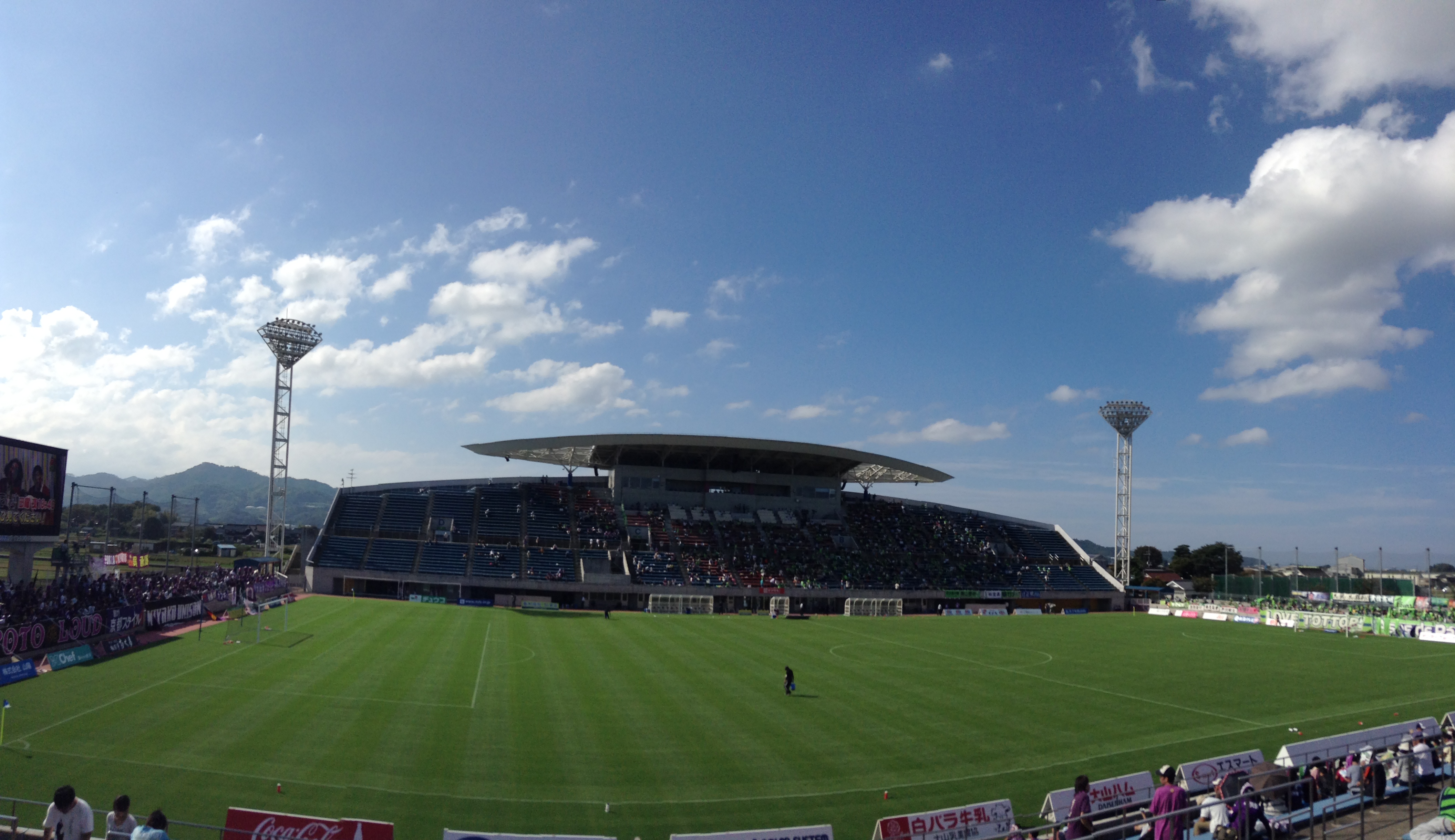
- Football (soccer)
- Gainare Tottori (Yonago)
Education
Universities
- Tottori University
- Tottori University of Environmental Studies
Colleges
- Tottori College
Noted places
Tottori City

- Tottori Sand Dunes
- Jinpūkaku, a late Meiji period residence
Daisen

- Daisen, the highest of the Chūgoku Mountains, 1,729 m (5,673 ft)
Daisen and Yonago
- Mukibanda Yayoi remains, the largest site of Yayoi period settlement in Japan
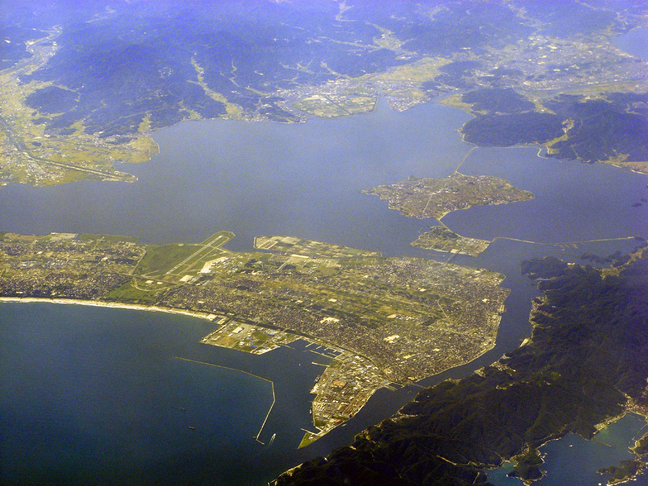
Yonago and Sakaiminato

- Nakaumi, a brackish lake located between Tottori Prefecture and Shimane Prefecture, fifth largest lake in Japan
Misasa
- Misasa Onsen
- Sanbutsu-ji, a Heian period temple designated a National Treasure of Japan
Sakaiminato
- Kitarō Road, a street in Sakaiminato dedicated to Shigeru Mizuki's GeGeGe no Kitaro manga character
- Lake Koyama
Iwami
- Uradome Coast, a scenic ria coastal inlet
Chizu
- The Ishitani Residence, an Edo period family residence designated a National Treasure of Japan
Nanbu
- Tottori Hanakairo-Flower Park, the largest flower park in Japan
Transportation
Rail
- JR West
- Sanin Line
- Hakubi Line
- Imbi Line
- Sakai Line
- Wakasa Railway
- Chizu Express
Roads
Expressway and toll roads
- Tottori Expressway
- Yonago Expressway
- Sanin Expressway
- Shidosaka Pass Road
- Tottori-Toyooka-Miyazu Road
National highways
- Route 9
- Route 29 (Tottori-Shiso-Himeji)
- Route 53 (Tottori-Tsuyama-Okayama)
- Route 178
- Route 179
- Route 180
- Route 181 (Yonago-Niimi-Okayama)
- Route 183
- Route 313
- Route 373
- Route 431
- Route 482
Ports
- Sakaiminato Port - ferry route to Oki Island, and international container hub
Airports
- Tottori Airport
- Yonago Airport
Prefectural symbols
The symbol is derived from the first mora in Japanese for "と" combined with the picture of a flying bird, and symbolizes peace, liberty, and the advancement of the Tottori prefecture. It was enacted in 1968 to celebrate the 100th year from the first year of the Meiji Era.
Notes
- Nussbaum, Louis-Frédéric. (2005). "Tottori Prefecture" in Japan Encyclopedia, p. 990, p. 990, at Google Books; "Chūgoku" at p. 127, p. 127, at Google Books.
- Nussbaum, "Tottori" at p. 990, p. 990, at Google Books.
- Aston, W. G., translator., ed. (1972), "XXX", Nihongi; chronicles of Japan from the earliest times to A.D. 697 (1st Tuttle ed.), Rutland, Vt.: C.E. Tuttle Co., p. 175, ISBN 978-0-8048-0984-9, OCLC 354027
{{citation}}:|editor-first=has generic name (help) - "Tottori Prefecture". Encyclopedia of Japan. Tokyo: Shogakukan. 2012. Archived from the original on 2007-08-25. Retrieved 2012-04-07.
- Muki-Banda Remains Archived 2012-09-04 at archive.today
- "Mukibanda-iseki (妻木晩田遺跡)". Nihon Rekishi Chimei Taikei (日本歴史地名大系) (in Japanese). Tokyo: Shogakukan. 2012. Archived from the original on 2007-08-25. Retrieved 2012-04-07.
- "Tottori Plain". Encyclopedia of Japan. Tokyo: Shogakukan. 2012. Archived from the original on 2007-08-25. Retrieved 2012-04-07.
- Nussbaum, "Provinces and prefectures" in p. 780, p. 780, at Google Books.
- "Tottori-ken (鳥取県)". Nihon Daihyakka Zensho (Nipponika) (日本大百科全書(ニッポニカ) (in Japanese). Tokyo: Shogakukan. 2012. Archived from the original on 2007-08-25. Retrieved 2012-04-07.
- "General overview of area figures for Natural Parks by prefecture" (PDF). Ministry of the Environment. Retrieved 31 August 2012.
- Tottori 1995-2020 population statistics
- Tottori 1920-2000 population statistics
- "Tottori-ken: seikatsu bunka (鳥取(県): 生活文化)". Nihon Daihyakka Zensho (Nipponika) (日本大百科全書(ニッポニカ) (in Japanese). Tokyo: Shogakukan. 2012. Archived from the original on 2007-08-25. Retrieved 2012-04-07.
References
- Nussbaum, Louis-Frédéric and Käthe Roth. (2005). Japan encyclopedia. Cambridge: Harvard University Press. ISBN 978-0-674-01753-5; OCLC 58053128
External links
Tottori (capital) | ||
| Core city |
|  |
| Cities |
| |
| Districts | ||
List of mergers in Tottori Prefecture | ||
Regions and administrative divisions of Japan | |||||||||||||||||
|---|---|---|---|---|---|---|---|---|---|---|---|---|---|---|---|---|---|
| |||||||||||||||||
| Regions |  | ||||||||||||||||
| 47 Prefectures |
| ||||||||||||||||
| |||||||||||||||||
Authority control | |
|---|---|
| General | |
| National libraries | |
| Other | |
На других языках
[de] Präfektur Tottori
Die Präfektur Tottori (jap. 鳥取県, Tottori-ken) ist eine der Präfekturen Japans, die kleinste nach Bevölkerungszahl. Sie liegt in der Region Chūgoku auf der Hauptinsel Honshū von Japan. Sitz der Präfekturverwaltung ist die gleichnamige Stadt Tottori.- [en] Tottori Prefecture
[ru] Тоттори (префектура)
Тоттори (яп. 鳥取県 Тоттори-кэн) — префектура, расположенная в регионе Тюгоку на острове Хонсю, Япония. Площадь префектуры составляет 3507,28 км²[1], население — 574 301 человек (1 августа 2014)[2], плотность населения — 163,75 чел./км². Административный центр префектуры — город Тоттори.Другой контент может иметь иную лицензию. Перед использованием материалов сайта WikiSort.org внимательно изучите правила лицензирования конкретных элементов наполнения сайта.
WikiSort.org - проект по пересортировке и дополнению контента Википедии