world.wikisort.org - Japan
Kumamoto Prefecture (熊本県, Kumamoto-ken) is a prefecture of Japan located on the island of Kyūshū.[1] Kumamoto Prefecture has a population of 1,748,134 (as of 1 June 2019[update]) and has a geographic area of 7,409 square kilometres (2,861 sq mi). Kumamoto Prefecture borders Fukuoka Prefecture to the north, Ōita Prefecture to the northeast, Miyazaki Prefecture to the southeast, and Kagoshima Prefecture to the south.
Kumamoto Prefecture
熊本県 | |
|---|---|
Prefecture | |
| Japanese transcription(s) | |
| • Japanese | 熊本県 |
| • Rōmaji | Kumamoto-ken |
 The towns of Takamori and Minamiaso in the heart of Nango-dani valley in Aso district, Kumamoto prefecture. This land is completely located in the giant caldera of the Aso volcano | |
 Flag  Symbol | |
| Anthem: Kumamoto kenmin no uta | |
 | |
| Coordinates: 32°43′N 130°40′E | |
| Country | |
| Region | Kyushu |
| Island | Kyushu |
| Capital | Kumamoto |
| Subdivisions | Districts: 9, Municipalities: 45 |
| Government | |
| • Governor | Ikuo Kabashima |
| Area | |
| • Total | 7,409.48 km2 (2,860.82 sq mi) |
| • Rank | 15th |
| Population (1 June 2019) | |
| • Total | 1,748,134 |
| • Rank | 23rd |
| • Density | 240/km2 (610/sq mi) |
| ISO 3166 code | JP-43 |
| Website | www |
| Symbols | |
| Bird | Eurasian skylark (Alauda arvensis) |
| Flower | Gentian (Gentiana scabra var. buergeri) |
| Tree | Camphor tree (Cinnamomum camphora) |
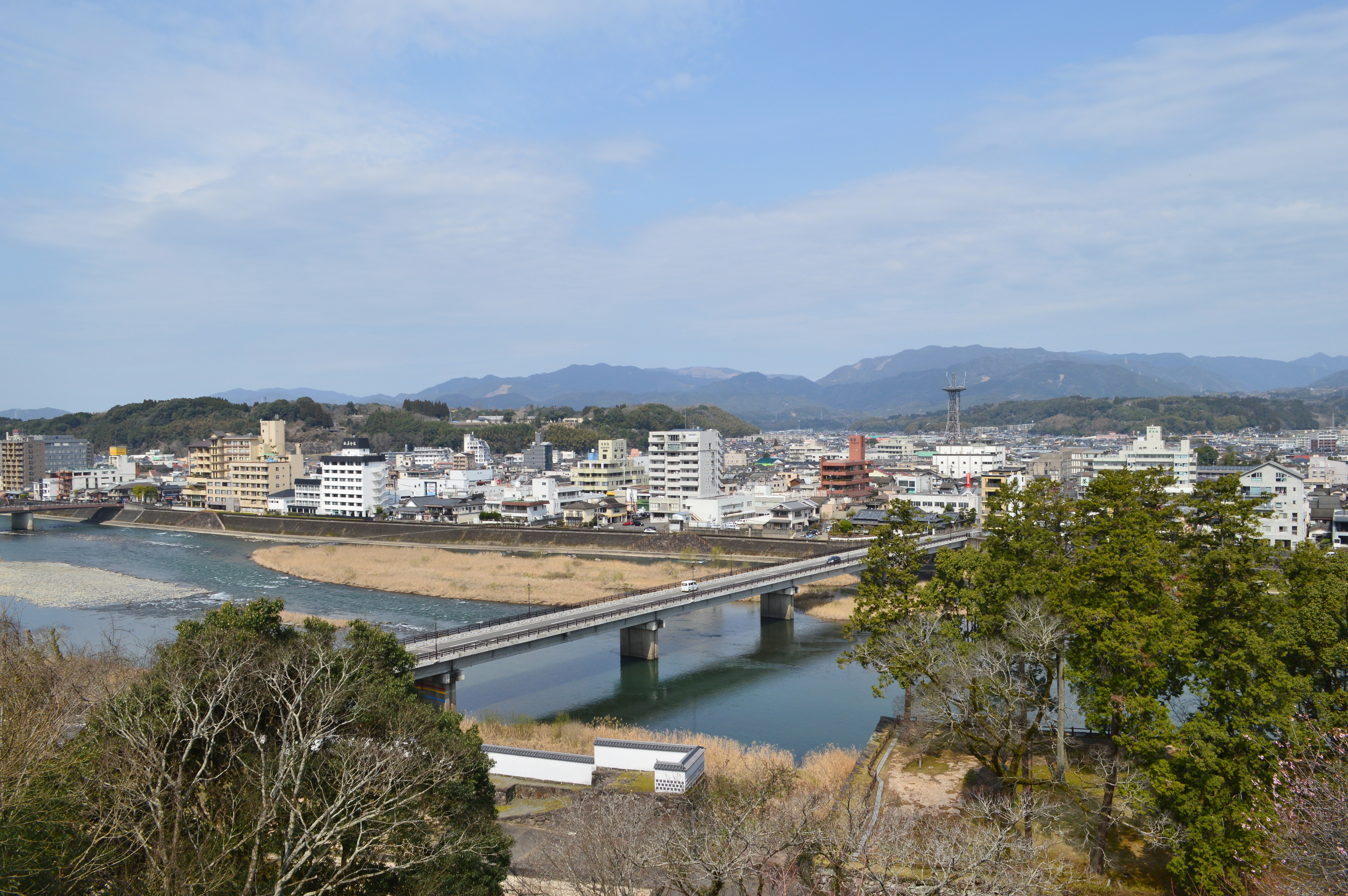
Kumamoto is the capital and largest city of Kumamoto Prefecture, with other major cities including Yatsushiro, Amakusa, and Tamana.[2] Kumamoto Prefecture is located in the center of Kyūshū on the coast of the Ariake Sea, across from Nagasaki Prefecture, with the mainland separated from the East China Sea by the Amakusa Archipelago. Kumamoto Prefecture is home to Mount Aso, the largest active volcano in Japan and among the largest in the world, with its peak 1,592 metres (5,223 ft) above sea level.
History
Historically, the area was called Higo Province; and the province was renamed Kumamoto during the Meiji Restoration.[3] The creation of prefectures was part of the abolition of the feudal system. The current Japanese orthography for Kumamoto literally means "bear root/origin", or "origin of the bear".
Geography

Government Ordinance Designated City City Town Village
Kumamoto Prefecture is in the center of Kyushu, the southernmost of the four major Japanese islands. It is bordered by the Ariake inland sea and the Amakusa archipelago to the west, Fukuoka Prefecture and Ōita Prefecture to the north, Miyazaki Prefecture to the east, and Kagoshima Prefecture to the south.
Mount Aso (1,592 m (5,223 ft)), an extensive active volcano, is in the east of Kumamoto Prefecture. This volcano is located at the centre of the Aso caldera.
As of 31 March 2019, 21% of the total land area of the prefecture was designated as natural parks: the Aso Kujū and Unzen-Amakusa National Parks; Kyūshū Chūō Sanchi and Yaba-Hita-Hikosan Quasi-National Parks; and Ashikita Kaigan, Itsuki Gokanoshō, Kinpōzan, Misumi-Ōyano Umibe, Okukuma, Shōtaisan, and Yabe Shūhen Prefectural Natural Parks.[4]
Cities


Fourteen cities are located in Kumamoto Prefecture:
| Name | Area (km2) | Population | Map | |
|---|---|---|---|---|
| Rōmaji | Kanji | |||
| 天草市 | 683.17 | 83,082 | ||
| 荒尾市 | 57.15 | 53,675 | ||
| 阿蘇市 | 376.25 | 27,039 | ||
| 人吉市 | 210.55 | 33,461 | ||
| 上天草市 | 126.94 | 27,603 | ||
| 菊池市 | 276.66 | 49,455 | ||
| 合志市 | 53.19 | 61,022 | ||
| 熊本市 | 390.32 | 738,907 | ||
| 水俣市 | 162.88 | 25,310 | ||
| 玉名市 | 152.55 | 70,530 | ||
| 宇城市 | 188.56 | 59,928 | ||
| 宇土市 | 74.17 | 37,442 | ||
| 山鹿市 | 299.67 | 53,404 | ||
| 八代市 | 680.59 | 129,358 | ||
Towns and villages
These are the towns and villages in each district:
| Name | Area (km2) | Population | District | Type | Map | |
|---|---|---|---|---|---|---|
| Rōmaji | Kanji | |||||
| あさぎり町 | 159.56 | 15,796 | Kuma District | Town | ||
| 芦北町 | 233.48 | 16,306 | Ashikita District | Town | ||
| 玉東町 | 24.4 | 5,363 | Tamana District | Town | ||
| 氷川町 | 33.29 | 12,250 | Yatsushiro District | Town | ||
| 五木村 | 252.94 | 1,136 | Kuma District | Village | ||
| 嘉島町 | 16.66 | 9,119 | Kamimashiki District | Town | ||
| 菊陽町 | 37.57 | 41,411 | Kikuchi District | Town | ||
| 甲佐町 | 57.87 | 10,924 | Kamimashiki District | Town | ||
| 球磨村 | 207.73 | 3,863 | Kuma District | Village | ||
| 益城町 | 65.67 | 33,001 | Kamimashiki District | Town | ||
| 御船町 | 99 | 16,901 | Kamimashiki District | Town | ||
| 南阿蘇村 | 137.3 | 11,086 | Aso District | Village | ||
| 南小国町 | 115.86 | 3,977 | Aso District | Town | ||
| 美里町 | 144.03 | 10,532 | Shimomashiki District | Town | ||
| 水上村 | 192.11 | 2,276 | Kuma District | Village | ||
| 長洲町 | 19.43 | 16,125 | Tamana District | Town | ||
| 和水町 | 98.75 | 10,030 | Tamana District | Town | ||
| 南関町 | 68.92 | 9,572 | Tamana District | Town | ||
| 西原村 | 77.23 | 6,752 | Aso District | Village | ||
| 錦町 | 84.87 | 10,899 | Kuma District | Town | ||
| 小国町 | 137 | 8,735 | Aso District | Town | ||
| 大津町 | 99.09 | 33,793 | Kikuchi District | Town | ||
| 苓北町 | 67.06 | 7,462 | Amakusa District | Town | ||
| 相良村 | 94.54 | 4,598 | Kuma District | Village | ||
| 高森町 | 174.9 | 6,189 | Aso District | Town | ||
| 多良木町 | 165.87 | 9,604 | Kuma District | Town | ||
| 津奈木町 | 33.97 | 4,574 | Ashikita District | Town | ||
| 産山村 | 60.72 | 1,542 | Aso District | Village | ||
| 山江村 | 121.2 | 3,553 | Kuma District | Village | ||
| 山都町 | 544.83 | 15,771 | Kamimashiki District | Town | ||
| 湯前町 | 48.41 | 4,046 | Kuma District | Town | ||
Mergers
Demographics
As of 1 June 2019,[update] the population was 1,748,134 inhabitants with a population density of 236 inhabitants per square kilometre (610/sq mi). The prefecture ranks 23rd in Japan.
Economy


There is a Honda motorcycle plant.

Tourism
- Mount Aso is one of the world's largest active volcanoes.
- Kumamoto Castle
- Suizenji Park
- Tsūjun Bridge, the largest stone aqueduct in Japan is in Yamato
The prefecture has a mascot named "Kumamon", a black bear with red cheeks, who was created to attract tourists to the region after the Kyushu Shinkansen line opened.[5][6]
Education
Universities
National
- Kumamoto University
Public
- Kumamoto Prefectural University
Private
- Kumamoto Gakuen University
- Kyushu University of Nursing and Social Welfare
- Kyushu Lutheran College
- Kumamoto Health Science
- Shokei Gakuin University
- Sojo University
- Heisei College of Music
Transportation
Rail
- JR Kyushu
- Kyushu Shinkansen
- Kagoshima Line
- Hohi Line
- Hisatsu Line
- Misumi Line
- Kumamoto Electric Railway
- Kumagawa Railroad
- Minami Aso Railway
- Hisatsu Orange Railway
Tramway
- Kumamoto City Transportation Bureau
Road
Expressways and toll roads
- Kyushu Expressway
- South Kyushu Expressway
- Kumamoto Amakusa Road
National highways
- Route 3
- Route 57
- Route 208 (Kumamoto-Tamana-Arao-Ōmuta)
- Route 212
- Route 218 (Kumamoto-Takachiho-Nobeoka)
- Route 219
- Route 265
- Route 266
- Route 267 (Hitoyoshi-Isa-Satsuma-Satsumasendai)
- Route 268
- Route 324
- Route 325 (Yamaga-Minamiaso-Takamori-Takachiho)
- Route 387
- Route 388 (Saiki-Nobeoka-Unomae)
- Route 389
- Route 442
- Route 443
- Route 445
- Route 501 (Ōmuta-Arao-Udo)
- Route 503
Ports
Ferry routes
- Kumamoto-Shimabara
- Nagasu-Unzen
- Ushibuka-Kuranomoto (Nagashima)
- Yatsushiro-Kamiamakusa
- Reihoku-Nagasaki
Airport
- Kumamoto Airport
- Amakusa Airport
Sports
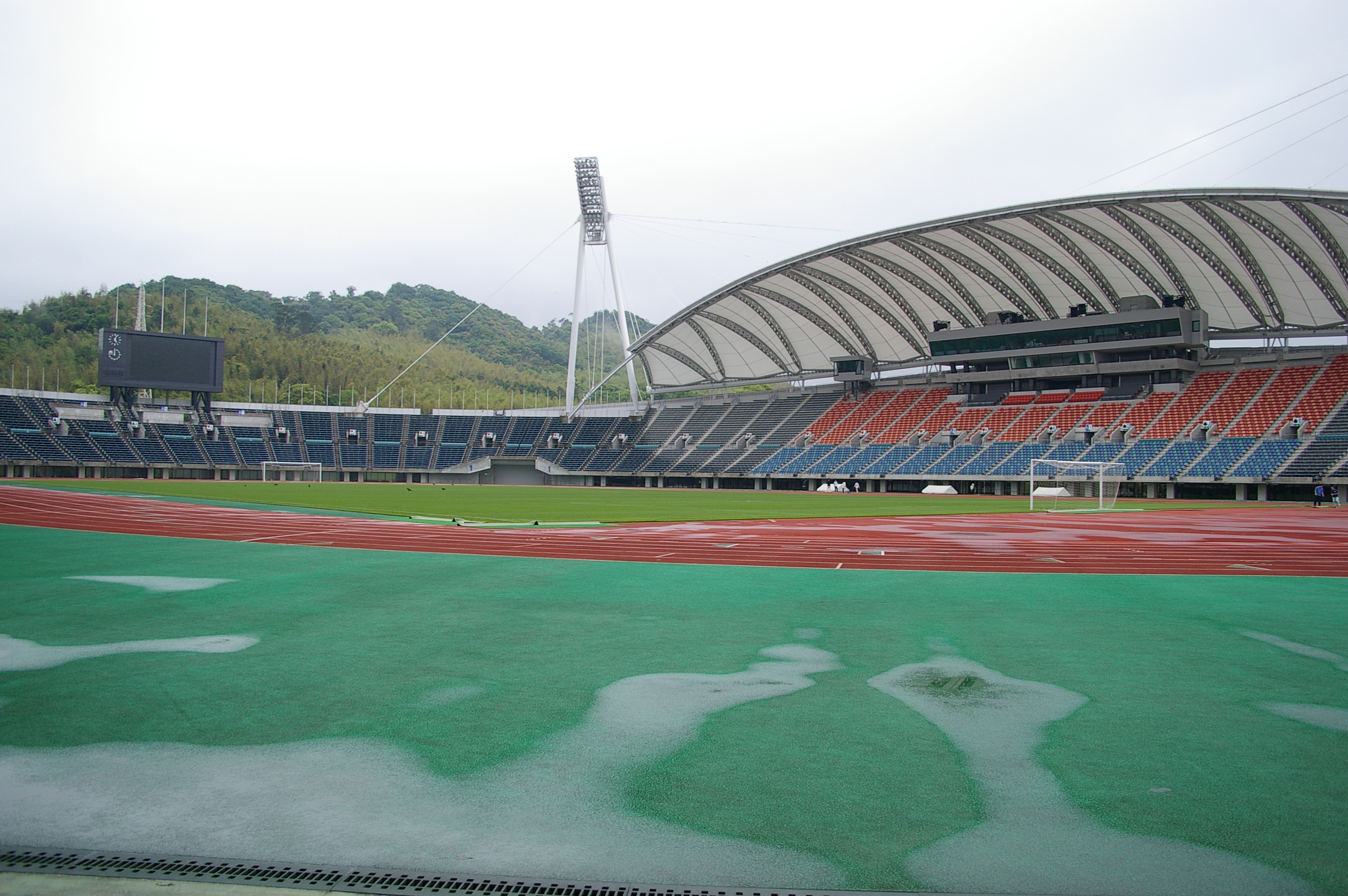
These sports teams are based in the prefecture:
- Professional:
- Roasso Kumamoto - Men's football and J League Second Division
- Blaze Kumamoto - Men's association football
- Mashiki Renaissance Kumamoto - Women's association football
- Amateur:
- Kumamoto Golden Larks - regional baseball
The Kumamoto Prefecture hosted the 2019 World Women's Handball Championship, having previously hosted the 1997 World Men's Handball Championship.
Sister cities
Kumamoto Prefecture is the 'sister state/prefecture' of Montana in the United States.
Kumamoto has a sister city located in Texas named San Antonio, which holds an annual fall festival 'akimatsuri' for its Japanese citizens. In 2015 the mascot, 'Kumamon' visited as an honorary ambassador during the festival located at the Japanese Tea Gardens.
Notable people
This section needs additional citations for verification. (September 2020) |
- Jun Kunimura, a popular Japanese actor
- Tetsu Komai, a Hollywood actor
- Kazuaki Kiriya, a filmmaker
- Kimeru, a pop artist
- Miku Kobato, founder and vocalist of Band-Maid[7]
- Moe Kamikokuryou, a Japanese idol
- Yuri Masuda, singer
- Shodai Naoya, Sumo wrestler
- Tomiko Van, singer, vocalist of Do As Infinity
- Eiichiro Oda, manga author, creator of One Piece[8]
- Tetsuya Noda, contemporary artist
- Katsuhiro Ueo, drifting driver
- Ichiki Tatsuo, journalist and defector in the Indonesian National Revolution
- Madoka Hisagae, female Japanese fencer
- Hitomi Tanaka, pornographic actress[9]
- Kenta Matsumoto, vocalist and bassist of WANIMA
- Koushin Nishida, guitarist of WANIMA
- Kouki Fujiwara, drummer of WANIMA
Notes
- Nussbaum, Louis-Frédéric. (2005). "Kumamoto prefecture" in Japan Encyclopedia, p. 572, p. 572, at Google Books.
- Nussbaum, "Kumamoto" in p. 572, p. 572, at Google Books.
- Nussbaum, "Provinces and prefectures" in p. 780, p. 780, at Google Books.
- 自然公園都道府県別面積総括 [General overview of area figures for Natural Parks by prefecture] (PDF) (in Japanese). Ministry of the Environment. 31 March 2019. Retrieved 3 August 2019.
- The Life and Times of Japan's Mascots
- "Top Ten Japanese Character Mascots". Finding Fukuoka. 2012-01-13. Retrieved 2013-02-16.
- JpopAsia. "Miku (BAND-MAID) | JpopAsia". JpopAsia. Retrieved 2018-03-11.
- "Eiichiro Oda, Hajime Isayama Show Their Support After Kumamoto Earthquakes". Anime News Network. Retrieved 2018-03-11.
- "Hitomi at AV Idol Directory". in Japanese
References
- Nussbaum, Louis-Frédéric and Käthe Roth. (2005). Japan encyclopedia. Cambridge: Harvard University Press. ISBN 978-0-674-01753-5; OCLC 58053128
External links
- Official website
- National Archives of Japan ... Kumamoto map (1891)
 Geographic data related to Kumamoto Prefecture at OpenStreetMap
Kumamoto (capital) | ||||
| Kumamoto |
| |||
| Cities | ||||
| Districts |
| |||
List of mergers in Kumamoto Prefecture | ||||
Regions and administrative divisions of Japan | |||||||||||||||||
|---|---|---|---|---|---|---|---|---|---|---|---|---|---|---|---|---|---|
| |||||||||||||||||
| Regions |  | ||||||||||||||||
| 47 Prefectures |
| ||||||||||||||||
| |||||||||||||||||
Authority control | |
|---|---|
| General | |
| National libraries | |
| Scientific databases | |
| Other | |
На других языках
- [en] Kumamoto Prefecture
[ru] Кумамото (префектура)
Кумамо́то[1] (яп. 熊本県 Кумамото-кэн) — префектура, расположенная в регионе Кюсю на острове Кюсю, Япония. Площадь префектуры составляет 7404,79 км²[2], население — 1 794 784 человека (1 августа 2014)[3], плотность населения — 242,38 чел./км². Административный центр префектуры — город Кумамото.Другой контент может иметь иную лицензию. Перед использованием материалов сайта WikiSort.org внимательно изучите правила лицензирования конкретных элементов наполнения сайта.
WikiSort.org - проект по пересортировке и дополнению контента Википедии