world.wikisort.org - Japan
Yurihama (湯梨浜町, Yurihama-chō) is a town located in Tōhaku District, Tottori Prefecture, Japan. As of October 31, 2019, the town had an estimated population of 16,837 and a density of 216 persons per km2. The total area is 77.95 km2.[1]
This article needs additional citations for verification. (January 2021) |
Yurihama
湯梨浜町 | |
|---|---|
Town | |
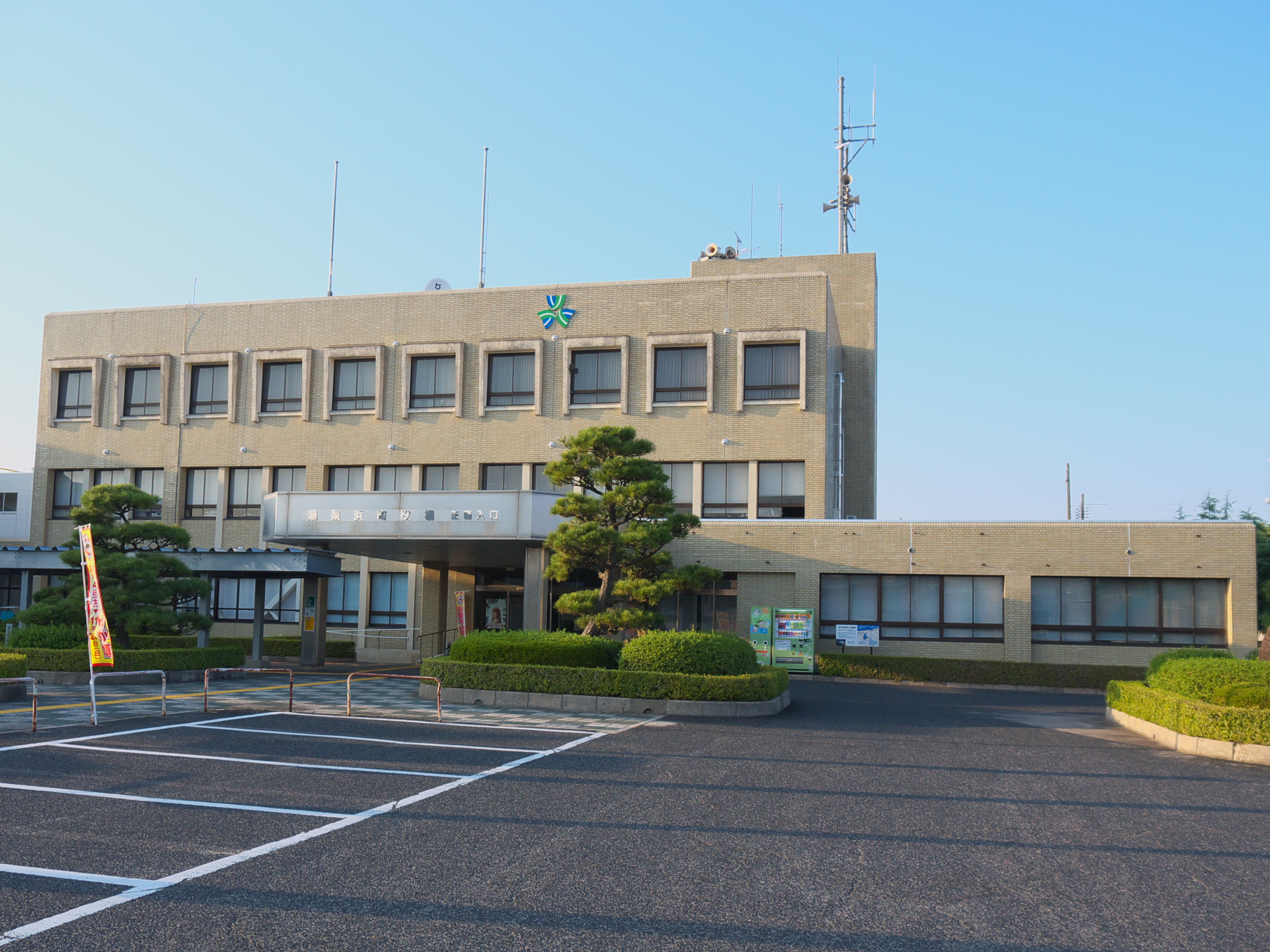 Yurihama town office | |
 Flag | |
 Location of Yurihama in Tottori Prefecture | |
 Yurihama Location in Japan | |
| Coordinates: 35°29′N 133°52′E | |
| Country | Japan |
| Region | Chūgoku San'in |
| Prefecture | Tottori Prefecture |
| District | Tōhaku |
| Area | |
| • Total | 77.94 km2 (30.09 sq mi) |
| Population (October 31, 2019) | |
| • Total | 16,837 |
| • Density | 220/km2 (560/sq mi) |
| Time zone | UTC+09:00 (JST) |
| City hall address | 19-1 Hisadome, Yurihama-chō, Tōhaku-gun, Tottori-ken 682-0723 |
| Website | www |
| Symbols | |
| Bird | Sankōchō |
| Flower | Touteiran |
| Tree | Nashi pear |
Yurihama was created on October 1, 2004, after a merger of the towns of Hawai and Tōgō, and the village of Tomari, all from Tōhaku District.
A large volume of Nashi pears and other agricultural products are produced in Yurihama; in 2006, it was one of the top ten largest exporters of pears in Japan.[2] Yurihama is also known for its hot springs near Lake Tōgō.
Etymology
The name “Yurihama” (湯梨浜) highlights three features of the town. The first kanji character, 湯 (yu), means “hot water” and refers to the hot springs around Lake Tōgō. The second character, 梨 (ri), means “pear”, for the Nashi pears grown in the area. The last character, 浜 (hama), means “beach” and refers to Yurihama's sandy beaches.
History
Early history
Numerous artifacts including haniwa clay figures and everyday items dated to the Kofun period were unearthed in the Nagase-Takahama area in modern-day Yurihama. Within the Nagase-Takahama archaeological site, the ruins of 200 homes, warehouses, and other structures, as well as over 300 kofun burial mounds were found.[3] The haniwa figures uncovered here are recognized as Important Cultural Properties in Japan.
Later history
The land of modern-day Yurihama became part of the Hōki Province in 645, as a result of the Taika reforms. Sometime after this, Shitori Shrine near Yurihama's Tōgō Lake was given the province's highest shrine rank, called ichinomiya.[4] Artifacts excavated from the shrine's Sutra Mound date to the year 1103, and are collectively designated as a National Treasure.[5]
Throughout the Sengoku Period, control of the region changed several times. In 1366, Ueshi Castle (ja) was built by the founder of the Nanjō clan in the south of modern-day Yurihama, and subsequently used as a feudal residence. The castle and surrounding areas were an important part of the eastern Hōki domain during this period, facing invasions by the Amago clan from the neighboring Izumo Province, among others. The castle frequently changed ownership for nearly 300 years before being abandoned in 1600 around the end of the Sengoku Period.[6][7] Its ruins lay on a hill in Yurihama, and the area is now designated as a Prefectural Historic Site.
Geography

The Hawai Plain lies within Yurihama, near the coastline of the Sea of Japan. It is a flat section of land stretching from the eastern bank of the Tenjin River to the environs of Tōgō Lake, and forms part of the greater Kurayoshi Plain. Many of the town's rice farming plots are located on the Hawai Plain. Besides this section of land, much of the inland areas within the town are mountainous.
Tōgō Lake is a brackish lagoon in Yurihama, formed due to the sedimentation of the Tenjin River and the development of the Hōjō sand hills, cutting it off from the ocean. Natural hot springs occur at various temperatures in and around the lake itself.[8]
Climate
The climate in Yurihama is similar to other areas of Tottori and the wider Chugoku region. Summers are very warm and humid, with the town experiencing Japan's rainy season from early June to mid-July. This is followed by cooler autumn weather, and tropical cyclones occasionally pass close to the Chugoku region. Winters are typically cool; some years also bring moderate snowfall. Spring begins around March, and the daily temperature and sunlight hours gradually increase over the course of roughly three months.[9]
Transportation
Trains
The San'in train line operated by JR West runs through two stations in Yurihama, Tomari and Matsuzaki. Travelers from outside the prefecture or from Tottori City can ride the Super Hakuto limited express train to Kurayoshi station, then transfer via local train to Matsuzaki.
Flights
The two closest airports to Yurihama are Tottori Airport and Yonago Airport, which both serve domestic routes connecting to Tokyo's Haneda Airport. Yonago Airport also operates international flights to and from Hong Kong and Shanghai.
Airport limousine buses
A limousine bus runs between Kurayoshi and Tottori Airport, making a stop at Matsuzaki station in Yurihama.[10]
Highway buses
Highway buses stop in Yurihama and nearby Kurayoshi City. These can be used to travel to and from Fukuoka, Hiroshima, Kobe, Osaka, and Tokyo.[11][12]
Surrounding municipalities
Sports

Ground golf
Ground golf (ja) was invented in Yurihama (specifically, in the pre-merger village of Tomari) in 1982. It is a sport similar to miniature golf. Ground golf now has over 155,000 players registered to clubs throughout Japan,[13] and is also played abroad. Yurihama hosts international ground golf tournaments annually, and in 2019 the tournament attracted participants from eight different countries.[14]
Festivals and events
Yurihama holds several events which attract participants from across Japan and from overseas. One example is the Hawaiian Festival, which celebrates Hawaiian culture and the sister city relations between Hawaii County and Yurihama. The Festival includes a hula tournament with participating groups from across Japan, as well as performances and cultural workshops by artists from Hawaii. A similar event is the Aloha Carnival, which features Hawaii-inspired food stalls, standup paddle boarding, raffles, and more.[15]
Yurihama is also the venue for the annual Lake Tōgō Dragon Canoe Tournament, one of several dragon boat races held in Japan. Participants row eleven-meter long canoes decorated with colorful dragon heads.
Places of note


- Hawai Onsen
- A popular onsen hot spring resort area near Lake Tōgō with roughly 122,000 visitors per year.[16]
- Tōgō Onsen
- Another popular hot spring destination near Lake Tōgō, with roughly 26,000 visitors per year to its hotels and baths.[17]
- Enchō-en Chinese Garden
- A large Chinese garden constructed as a gesture of friendship between Tottori Prefecture and Hebei Province in China. It was built in China, then brought to Yurihama in several pieces before being remade by Chinese craftsmen.[18]
- Fudō-taki (waterfall)
- A 32-meter high natural waterfall.
- Shitori Shrine (shrine)
- Ueshi-jō (castle)
Sister city
 Hawaii County, Hawaii, United States (1996)
References
- "人口・世帯数". Yurihama Town Website (in Japanese). Retrieved 2 December 2019.
- "市町村 [梨] 産地 - 生産ランキング トップ100". Japancrops.com (in Japanese). Retrieved 2 December 2019.
- "長瀬高浜遺跡発掘調査報告書(本文編)". Comprehensive Database of Archaeological Site Reports in Japan (In Japanese). 奈良文化財研究所. Retrieved 19 December 2019.
- 湯梨浜町文化財ガイドブック. 湯梨浜町教育委員会. p. 8.
- "国宝・重要文化財(美術品)・伯耆一宮経塚出土品". 国指定文化財等データベース. Retrieved 7 January 2020.
- "羽衣石城跡". とっとり文化財ナビ (in Japanese). Retrieved 18 January 2020.
- 湯梨浜町文化財ガイドブック. 湯梨浜町教育委員会. p. 11.
- "Tōgō Lake". Kotobank.jp (in Japanese). Retrieved 1 February 2020.
- "Climate of Chugoku district". JMA Website. Japan Meteorological Agency. Retrieved 1 February 2020.
- "交通・アクセス". Tottori Sand Dunes Conan Airport (in Japanese). Retrieved 9 January 2020.
- "Kurayoshi". Japan National Tourism Organization. Retrieved 12 January 2020.
- "交通アクセス". Yurihama Town Website (in Japanese). Retrieved 12 January 2020.
- "Registered Player Figures". Japan Ground Golf Association (in Japanese). Retrieved 17 December 2019.
- "List of Participating Countries". Yurihama Town Web Site (in Japanese). Retrieved 20 December 2019.
- Terao, Yasuyuki (11 June 2015). "鳥取)「日本のハワイ」アロハカーニバル、味にも工夫". Asahi Shimbun. Retrieved 6 January 2020.
- "鳥取県観光交流局観光戦略課 温泉地入湯客数(平成30年3月)" (PDF). Tottori Prefecture Website (in Japanese). Retrieved 7 June 2018.
- "鳥取県観光交流局観光戦略課 温泉地入湯客数(平成30年3月)" (PDF). Tottori Prefecture Website (in Japanese). Retrieved 7 June 2018.
- "中国庭園「燕趙園」ってどんなところ?". Encho-en (in Japanese). Retrieved 3 December 2019.
External links
 Media related to Yurihama, Tottori at Wikimedia Commons
- Yurihama official website (in Japanese)
- Yurihama Tourism Association
Tottori (capital) | ||
| Core city |
|  |
| Cities |
| |
| Districts | ||
List of mergers in Tottori Prefecture | ||
На других языках
- [en] Yurihama, Tottori
[ru] Юрихама
Юрихама (яп. 湯梨浜町 Юрихама-тё:) — посёлок в Японии, находящийся в уезде Тохаку префектуры Тоттори. Площадь посёлка составляет 77,95 км²[1], население — 16 778 человек (1 августа 2014)[2], плотность населения — 215,24 чел./км².Другой контент может иметь иную лицензию. Перед использованием материалов сайта WikiSort.org внимательно изучите правила лицензирования конкретных элементов наполнения сайта.
WikiSort.org - проект по пересортировке и дополнению контента Википедии