world.wikisort.org - France
Éperlecques (French pronunciation: [epɛʁlɛk]; West Flemish: Sperleke; Picard: Éparlecques) is a commune in the Pas-de-Calais department in the Hauts-de-France region of France.[2]
Éperlecques
Sperleke | |
|---|---|
Commune | |
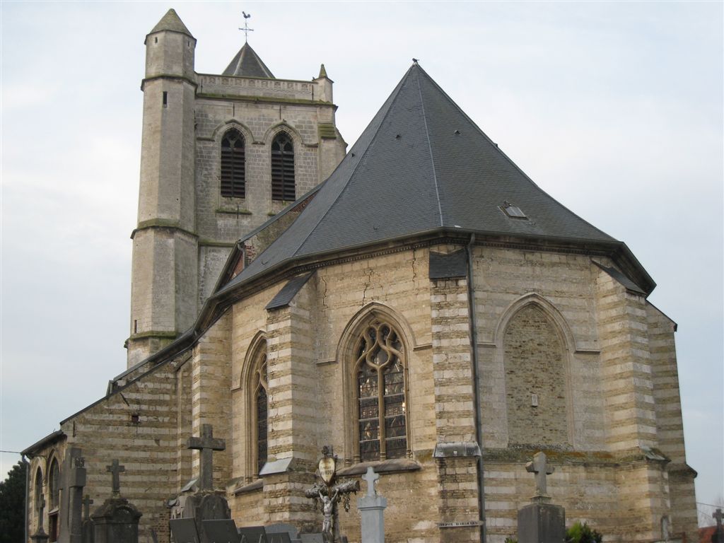 St. Leodegar's Church | |
 Coat of arms | |
Location of Éperlecques  | |
 Éperlecques  Éperlecques | |
| Coordinates: 50°48′25″N 2°09′09″E | |
| Country | France |
| Region | Hauts-de-France |
| Department | Pas-de-Calais |
| Arrondissement | Saint-Omer |
| Canton | Saint-Omer |
| Intercommunality | Pays de Saint-Omer |
| Government | |
| • Mayor (2020–2026) | Laurent Denis |
| Area 1 | 25.56 km2 (9.87 sq mi) |
| Population | 3,696 |
| • Density | 140/km2 (370/sq mi) |
| Time zone | UTC+01:00 (CET) |
| • Summer (DST) | UTC+02:00 (CEST) |
| INSEE/Postal code | 62297 /62910 |
| Elevation | 0–97 m (0–318 ft) (avg. 15 m or 49 ft) |
| 1 French Land Register data, which excludes lakes, ponds, glaciers > 1 km2 (0.386 sq mi or 247 acres) and river estuaries. | |
Geography
It is a farming commune comprising eight hamlets, all found within the regional nature reserve of the Caps et Marais d'Opale, situated 6 miles (10 km) northwest of Saint-Omer, at the D222 and D219 road junction. The small river Liette runs through the village.
Population
| Year | Pop. | ±% p.a. |
|---|---|---|
| 1968 | 2,168 | — |
| 1975 | 2,276 | +0.70% |
| 1982 | 2,556 | +1.67% |
| 1990 | 2,785 | +1.08% |
| 1999 | 2,885 | +0.39% |
| 2007 | 3,135 | +1.04% |
| 2012 | 3,350 | +1.34% |
| 2017 | 3,640 | +1.67% |
| Source: INSEE[3] | ||
Places of interest
- The Blockhaus d'Éperlecques[4]
- St. Leodegar's church, dating from the sixteenth century.
- Seven chapels.
- Traces of ancient châteaux.
- The flour mill at Seigre.
Twin towns
Éperlecques is twinned with ![]() Zonnebeke in Belgium.
Zonnebeke in Belgium.
See also
References
- "Populations légales 2019". The National Institute of Statistics and Economic Studies. 29 December 2021.
- INSEE commune file
- Population en historique depuis 1968, INSEE
- "Le Blockhaus d'Éperlecques". Retrieved 2007-05-25.
Wikimedia Commons has media related to Éperlecques.

Authority control | |
|---|---|
| General |
|
| National libraries | |
This Pas-de-Calais geographical article is a stub. You can help Wikipedia by expanding it. |
На других языках
- [en] Éperlecques
[es] Éperlecques
Éperlecques es una población y comuna francesa, situada en la región de Norte-Paso de Calais, departamento de Paso de Calais, en el distrito de Saint-Omer y cantón de Ardres.Текст в блоке "Читать" взят с сайта "Википедия" и доступен по лицензии Creative Commons Attribution-ShareAlike; в отдельных случаях могут действовать дополнительные условия.
Другой контент может иметь иную лицензию. Перед использованием материалов сайта WikiSort.org внимательно изучите правила лицензирования конкретных элементов наполнения сайта.
Другой контент может иметь иную лицензию. Перед использованием материалов сайта WikiSort.org внимательно изучите правила лицензирования конкретных элементов наполнения сайта.
2019-2026
WikiSort.org - проект по пересортировке и дополнению контента Википедии
WikiSort.org - проект по пересортировке и дополнению контента Википедии