world.wikisort.org - France
Fruges (French pronunciation: [fʁyʒ]; West Flemish: Frusje) is a commune in the Pas-de-Calais department in the Hauts-de-France region of France.[3]
Fruges
Frusje | |
|---|---|
Commune | |
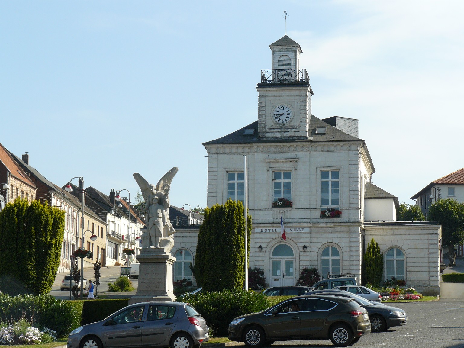 The town hall of Fruges | |
 Coat of arms | |
Location of Fruges  | |
 Fruges  Fruges | |
| Coordinates: 50°30′55″N 2°08′04″E | |
| Country | France |
| Region | Hauts-de-France |
| Department | Pas-de-Calais |
| Arrondissement | Montreuil |
| Canton | Fruges |
| Intercommunality | CC Haut Pays du Montreuillois |
| Government | |
| • Mayor (2020–2026) | Edmond Zaborowski[1] |
| Area 1 | 18.9 km2 (7.3 sq mi) |
| Population | 2,352 |
| • Density | 120/km2 (320/sq mi) |
| Time zone | UTC+01:00 (CET) |
| • Summer (DST) | UTC+02:00 (CEST) |
| INSEE/Postal code | 62364 /62310 |
| Elevation | 84–171 m (276–561 ft) (avg. 107 m or 351 ft) |
| 1 French Land Register data, which excludes lakes, ponds, glaciers > 1 km2 (0.386 sq mi or 247 acres) and river estuaries. | |
Geography
Situated some 12 miles (19 km) northeast of Montreuil-sur-Mer on the D928 road, set in a valley not far from the historic battlefield of Azincourt.[citation needed]
Features
Fruges is a typical small country town in the Pas-de-Calais with a weekly market, agricultural suppliers, a Carrefour and various smaller stores.
An annual Fête des Géants livens up August with parades of marching bands and papier mache giants.
Population
| Year | Pop. | ±% p.a. |
|---|---|---|
| 1968 | 2,460 | — |
| 1975 | 2,534 | +0.42% |
| 1982 | 2,465 | −0.39% |
| 1990 | 2,499 | +0.17% |
| 1999 | 2,426 | −0.33% |
| 2007 | 2,533 | +0.54% |
| 2012 | 2,460 | −0.58% |
| 2017 | 2,371 | −0.73% |
| Source: INSEE[4] | ||
Places of interest
- Church of St. Bertulphe, dating from the nineteenth century.
Twin towns
Fruges is twinned with Olsberg, Germany, since 1965.
See also
References
- "Répertoire national des élus: les maires". data.gouv.fr, Plateforme ouverte des données publiques françaises (in French). 2 December 2020.
- "Populations légales 2019". The National Institute of Statistics and Economic Studies. 29 December 2021.
- INSEE commune file
- Population en historique depuis 1968, INSEE
Wikimedia Commons has media related to Fruges.
Authority control | |
|---|---|
| General |
|
| National libraries | |
This Pas-de-Calais geographical article is a stub. You can help Wikipedia by expanding it. |
На других языках
- [en] Fruges
[ru] Фрюж
Фрюж (фр. Fruges) — коммуна во Франции, регион О-де-Франс, департамент Па-де-Кале, округ Монтрёй-сюр-Мер, кантон Фрюж. Расположена в 55 км к северо-западу от Арраса и в 9 км от автомагистрали А26 "Англия".Текст в блоке "Читать" взят с сайта "Википедия" и доступен по лицензии Creative Commons Attribution-ShareAlike; в отдельных случаях могут действовать дополнительные условия.
Другой контент может иметь иную лицензию. Перед использованием материалов сайта WikiSort.org внимательно изучите правила лицензирования конкретных элементов наполнения сайта.
Другой контент может иметь иную лицензию. Перед использованием материалов сайта WikiSort.org внимательно изучите правила лицензирования конкретных элементов наполнения сайта.
2019-2026
WikiSort.org - проект по пересортировке и дополнению контента Википедии
WikiSort.org - проект по пересортировке и дополнению контента Википедии