world.wikisort.org - France
Wingles (French pronunciation: [vɛ̃ɡl]) is a commune of the Pas-de-Calais department in the Hauts-de-France region of France.[2]
Wingles | |
|---|---|
Commune | |
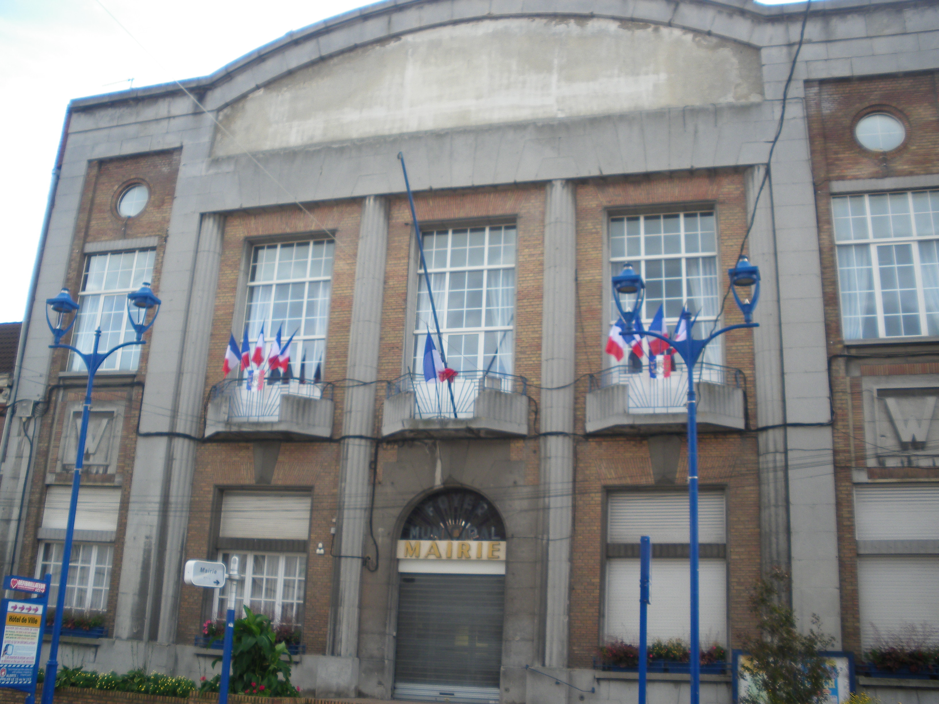 The town hall of Wingles | |
 Coat of arms | |
Location of Wingles  | |
 Wingles  Wingles | |
| Coordinates: 50°29′41″N 2°51′22″E | |
| Country | France |
| Region | Hauts-de-France |
| Department | Pas-de-Calais |
| Arrondissement | Lens |
| Canton | Wingles |
| Intercommunality | Lens-Liévin |
| Government | |
| • Mayor (2020–2026) | Maryse Loup-Rouzé |
| Area 1 | 5.93 km2 (2.29 sq mi) |
| Population | 8,756 |
| • Density | 1,500/km2 (3,800/sq mi) |
| Time zone | UTC+01:00 (CET) |
| • Summer (DST) | UTC+02:00 (CEST) |
| INSEE/Postal code | 62895 /62410 |
| Elevation | 14–36 m (46–118 ft) (avg. 27 m or 89 ft) |
| 1 French Land Register data, which excludes lakes, ponds, glaciers > 1 km2 (0.386 sq mi or 247 acres) and river estuaries. | |
Geography
An ex-coalmining area, now a farming and light industrial town, Wingles lies 6 miles (9.7 km) north of Lens, at the junction of the N47, D39 and the D165 roads.
Population
| Year | Pop. | ±% p.a. |
|---|---|---|
| 1968 | 8,946 | — |
| 1975 | 8,348 | −0.98% |
| 1982 | 8,472 | +0.21% |
| 1990 | 8,742 | +0.39% |
| 1999 | 8,691 | −0.06% |
| 2007 | 8,185 | −0.75% |
| 2012 | 8,263 | +0.19% |
| 2017 | 8,770 | +1.20% |
| Source: INSEE[3] | ||
Places of interest
- The church of St. Leger, rebuilt along with the rest of the town, after World War I.
Notable people
- Émilienne Moreau-Evrard, French resistance heroine, was born at Wingles in 1898.
See also
References
- "Populations légales 2019". The National Institute of Statistics and Economic Studies. 29 December 2021.
- INSEE commune file
- Population en historique depuis 1968, INSEE
External links
Wikimedia Commons has media related to Wingles.
- Official town website (in French)
- Website of the intercommunality (in French)
Authority control | |
|---|---|
| General |
|
| National libraries | |
This Pas-de-Calais geographical article is a stub. You can help Wikipedia by expanding it. |
На других языках
- [en] Wingles
[es] Wingles
Wingles es una población y comuna francesa, situada en la región de Norte-Paso de Calais, departamento de Paso de Calais, en el distrito de Lens. Es el chef-lieu y mayor población del cantón de Wingles.[ru] Венгль
Венгль (фр. Wingles) — коммуна во Франции, регион О-де-Франс, департамент Па-де-Кале, округ Ланс, кантон Венгль. Расположена в 7 км к северу от Ланса, в 6 км от автомагистрали А21 "Рокада Миньер", на берегу канала Дёль.Текст в блоке "Читать" взят с сайта "Википедия" и доступен по лицензии Creative Commons Attribution-ShareAlike; в отдельных случаях могут действовать дополнительные условия.
Другой контент может иметь иную лицензию. Перед использованием материалов сайта WikiSort.org внимательно изучите правила лицензирования конкретных элементов наполнения сайта.
Другой контент может иметь иную лицензию. Перед использованием материалов сайта WikiSort.org внимательно изучите правила лицензирования конкретных элементов наполнения сайта.
2019-2026
WikiSort.org - проект по пересортировке и дополнению контента Википедии
WikiSort.org - проект по пересортировке и дополнению контента Википедии