world.wikisort.org - France
Caucourt (French pronunciation: [kokuʁ]) is a commune in the Pas-de-Calais department in the Hauts-de-France region of France.[3]
Caucourt | |
|---|---|
Commune | |
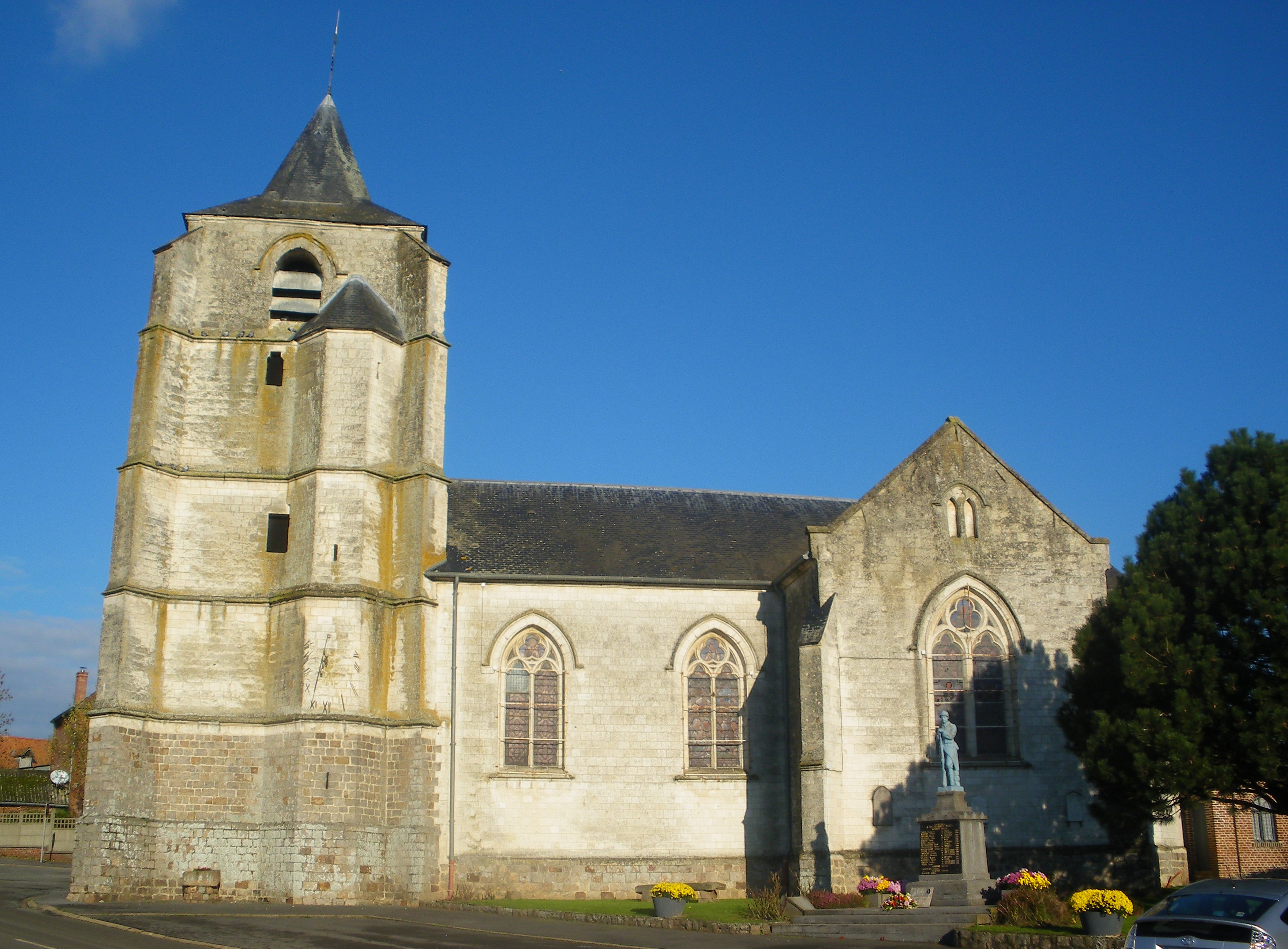 The church of Caucourt | |
 Coat of arms | |
Location of Caucourt  | |
 Caucourt  Caucourt | |
| Coordinates: 50°23′58″N 2°34′20″E | |
| Country | France |
| Region | Hauts-de-France |
| Department | Pas-de-Calais |
| Arrondissement | Béthune |
| Canton | Bruay-la-Buissière |
| Intercommunality | CA Béthune-Bruay, Artois-Lys Romane |
| Government | |
| • Mayor (2020–2026) | Danièle Philippe[1] |
| Area 1 | 5.51 km2 (2.13 sq mi) |
| Population | 337 |
| • Density | 61/km2 (160/sq mi) |
| Time zone | UTC+01:00 (CET) |
| • Summer (DST) | UTC+02:00 (CEST) |
| INSEE/Postal code | 62218 /62150 |
| Elevation | 94–157 m (308–515 ft) (avg. 112 m or 367 ft) |
| 1 French Land Register data, which excludes lakes, ponds, glaciers > 1 km2 (0.386 sq mi or 247 acres) and river estuaries. | |
Geography
Caucourt is a farming village some 10 miles (16 km) northwest of Arras, at the junction of the D73 and the D73E roads. The "Blanche" stream rises here, forming the source of the Lawe river.
Population
| Year | Pop. | ±% p.a. |
|---|---|---|
| 1968 | 283 | — |
| 1975 | 268 | −0.77% |
| 1982 | 275 | +0.37% |
| 1990 | 270 | −0.23% |
| 1999 | 277 | +0.28% |
| 2007 | 315 | +1.62% |
| 2012 | 337 | +1.36% |
| 2017 | 346 | +0.53% |
| Source: INSEE[4] | ||
Places of interest
- The church of St.Pierre, dating from the sixteenth century.
- The war memorial.
- An old watermill.
See also
References
- "Répertoire national des élus: les maires". data.gouv.fr, Plateforme ouverte des données publiques françaises (in French). 9 August 2021.
- "Populations légales 2019". The National Institute of Statistics and Economic Studies. 29 December 2021.
- INSEE commune file
- Population en historique depuis 1968, INSEE
External links
| Wikimedia Commons has media related to Caucourt. |
- Official municipality website (in French)
- A website about the Commune (in French)
This Pas-de-Calais geographical article is a stub. You can help Wikipedia by expanding it. |
Текст в блоке "Читать" взят с сайта "Википедия" и доступен по лицензии Creative Commons Attribution-ShareAlike; в отдельных случаях могут действовать дополнительные условия.
Другой контент может иметь иную лицензию. Перед использованием материалов сайта WikiSort.org внимательно изучите правила лицензирования конкретных элементов наполнения сайта.
Другой контент может иметь иную лицензию. Перед использованием материалов сайта WikiSort.org внимательно изучите правила лицензирования конкретных элементов наполнения сайта.
2019-2026
WikiSort.org - проект по пересортировке и дополнению контента Википедии
WikiSort.org - проект по пересортировке и дополнению контента Википедии