world.wikisort.org - France
Campagne-lès-Hesdin (French pronunciation: [kɑ̃paɲ lɛ edɛ̃], literally Campagne near Hesdin) is a commune in the Pas-de-Calais department in northern France.[3]
Campagne-lès-Hesdin | |
|---|---|
Commune | |
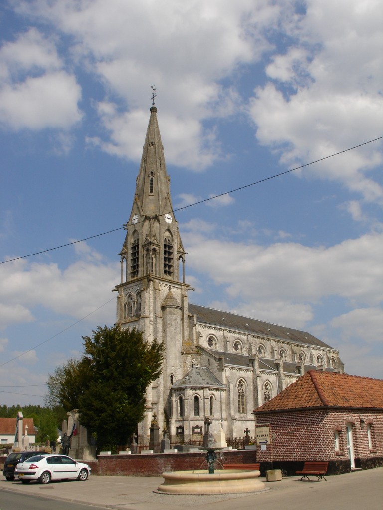 The church of Campagne-lès-Hesdin | |
 Coat of arms | |
Location of Campagne-lès-Hesdin  | |
 Campagne-lès-Hesdin  Campagne-lès-Hesdin | |
| Coordinates: 50°23′54″N 1°52′39″E | |
| Country | France |
| Region | Hauts-de-France |
| Department | Pas-de-Calais |
| Arrondissement | Montreuil |
| Canton | Auxi-le-Château |
| Intercommunality | CC des 7 Vallées |
| Government | |
| • Mayor (2020–2026) | Michel Evrard[1] |
| Area 1 | 15.64 km2 (6.04 sq mi) |
| Population | 1,942 |
| • Density | 120/km2 (320/sq mi) |
| Time zone | UTC+01:00 (CET) |
| • Summer (DST) | UTC+02:00 (CEST) |
| INSEE/Postal code | 62204 /62870 |
| Elevation | 29–94 m (95–308 ft) (avg. 90 m or 300 ft) |
| 1 French Land Register data, which excludes lakes, ponds, glaciers > 1 km2 (0.386 sq mi or 247 acres) and river estuaries. | |
Geography
On the D138, between the towns of Hesdin and Montreuil and the valleys of the rivers Canche and Authie, the town is surrounded by sheep- and dairy-farming.
International relations
Campagne-lès-Hesdin is twinned with:
Population
| Year | Pop. | ±% p.a. |
|---|---|---|
| 1968 | 1,334 | — |
| 1975 | 1,458 | +1.28% |
| 1982 | 1,474 | +0.16% |
| 1990 | 1,604 | +1.06% |
| 1999 | 1,696 | +0.62% |
| 2007 | 1,757 | +0.44% |
| 2012 | 1,754 | −0.03% |
| 2017 | 1,920 | +1.82% |
| Source: INSEE[5] | ||
See also
References
- "Répertoire national des élus: les maires". data.gouv.fr, Plateforme ouverte des données publiques françaises (in French). 2 December 2020.
- "Populations légales 2019". The National Institute of Statistics and Economic Studies. 29 December 2021.
- INSEE commune file
- "British towns twinned with French towns". Archant Community Media Ltd. Archived from the original on 2013-07-05. Retrieved 2013-07-11.
- Population en historique depuis 1968, INSEE
Wikimedia Commons has media related to Campagne-lès-Hesdin.
Authority control | |
|---|---|
| General |
|
| National libraries | |
| Other |
|
This Pas-de-Calais geographical article is a stub. You can help Wikipedia by expanding it. |
На других языках
- [en] Campagne-lès-Hesdin
[ru] Кампань-ле-Эден
Кампань-ле-Эден (фр. Campagne-lès-Hesdin) — коммуна во Франции, регион О-де-Франс, департамент Па-де-Кале, округ Монтрёй, кантон Оси-ле-Шато. Расположена в 66 км к западу от Арраса и в 98 км к юго-западу от Лилля, в 18 км от автомагистрали А16 "Европейская", в долине между реками Канш и Оти. На территории коммуны находятся несколько овцеводческих и молочных ферм.Текст в блоке "Читать" взят с сайта "Википедия" и доступен по лицензии Creative Commons Attribution-ShareAlike; в отдельных случаях могут действовать дополнительные условия.
Другой контент может иметь иную лицензию. Перед использованием материалов сайта WikiSort.org внимательно изучите правила лицензирования конкретных элементов наполнения сайта.
Другой контент может иметь иную лицензию. Перед использованием материалов сайта WikiSort.org внимательно изучите правила лицензирования конкретных элементов наполнения сайта.
2019-2025
WikiSort.org - проект по пересортировке и дополнению контента Википедии
WikiSort.org - проект по пересортировке и дополнению контента Википедии