world.wikisort.org - India
Sri Sathya Sai district is a district in the Indian state of Andhra Pradesh. Its headquarters is at Puttaparthi. It was formed on 4 April 2022 from the Dharmavaram, Penukonda, Kadiri revenue divisions and a new Puttaparthi revenue division, with all three carved out of Anantapur district.[2][3][4][5] The district is named after Sathya Sai Baba.
Sri Sathya Sai district | |
|---|---|
District of Andhra Pradesh | |
     Clockwise from top-left: Nandi at Lepakshi, Sitathirtham stepped well, Hills near Gorantla, View of Puttaparthi and Prasanthi Nilayam, Lakshmi Narasimha Temple at Kadiri | |
 | |
| Coordinates: 14.16°N 77.79°E | |
| Country | |
| State | |
| Region | Rayalaseema |
| Headquarters | Puttaparthi |
| Largest city | Hindupuram |
| Administrative Divisions |
|
| Government | |
| • District collector | P. Basanth Kumar IAS,Collector & District Magistrate |
| • Lok Sabha constituencies | Hindupuram |
| • MP | Kuruva Gorantla Madhav |
| • Assembly constituencies | 07 |
| Area | |
| • Total | 8,925 km2 (3,446 sq mi) |
| Population (2011)[1] | |
| • Total | 1,840,043 |
| • Density | 210/km2 (530/sq mi) |
| Time zone | UTC+05:30 (IST) |
| Website | srisathyasai |
Geography
This district is bounded by North of Anantapur district ,South by Annamayya district,East by YSR district And West of Chitradurga district,Tumakuru district And Chikkaballapura district in Karnataka State.
Etymology
This district is named after Indian Guru Sri Sathya Sai Baba.
Demographics
At the time of the 2011 census, the district had a population of 18,40,043. Scheduled Castes and Scheduled Tribes make up 2,48,993 (13.53%) and 83,966 (4.56%) of the population respectively.[1]: 78–83
At the time of the 2011 census, 78.47% of the population spoke Telugu, 11.03% Urdu, 7.08% Kannada and 2.67% Lambadi as their first language.[7]
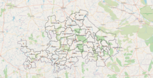
Administrative divisions

The district has four revenue divisions, namely Dharmavaram, Kadiri, Puttaparthi and Penukonda, each headed by a sub collector. These revenue divisions are divided into 32 mandals. The district consists of four municipalities, Hindupuram, Kadiri, Puttaparthi and Dharmavaram.
Mandals
There are 12 mandals in Penukonda division, 6 mandals in Puttaparthi division and 7 mandals each in Dharmavaram and Kadiri divisions. The 32 mandals under their revenue divisions are listed below:[8]
Notable people
- Sathya Sai Baba, Indian guru
Cities and towns
Largest cities or towns in Sri Sathya Sai District As per the 2011 Census | |||||||||
|---|---|---|---|---|---|---|---|---|---|
| Rank | Division | Pop. | |||||||
 Hindupur 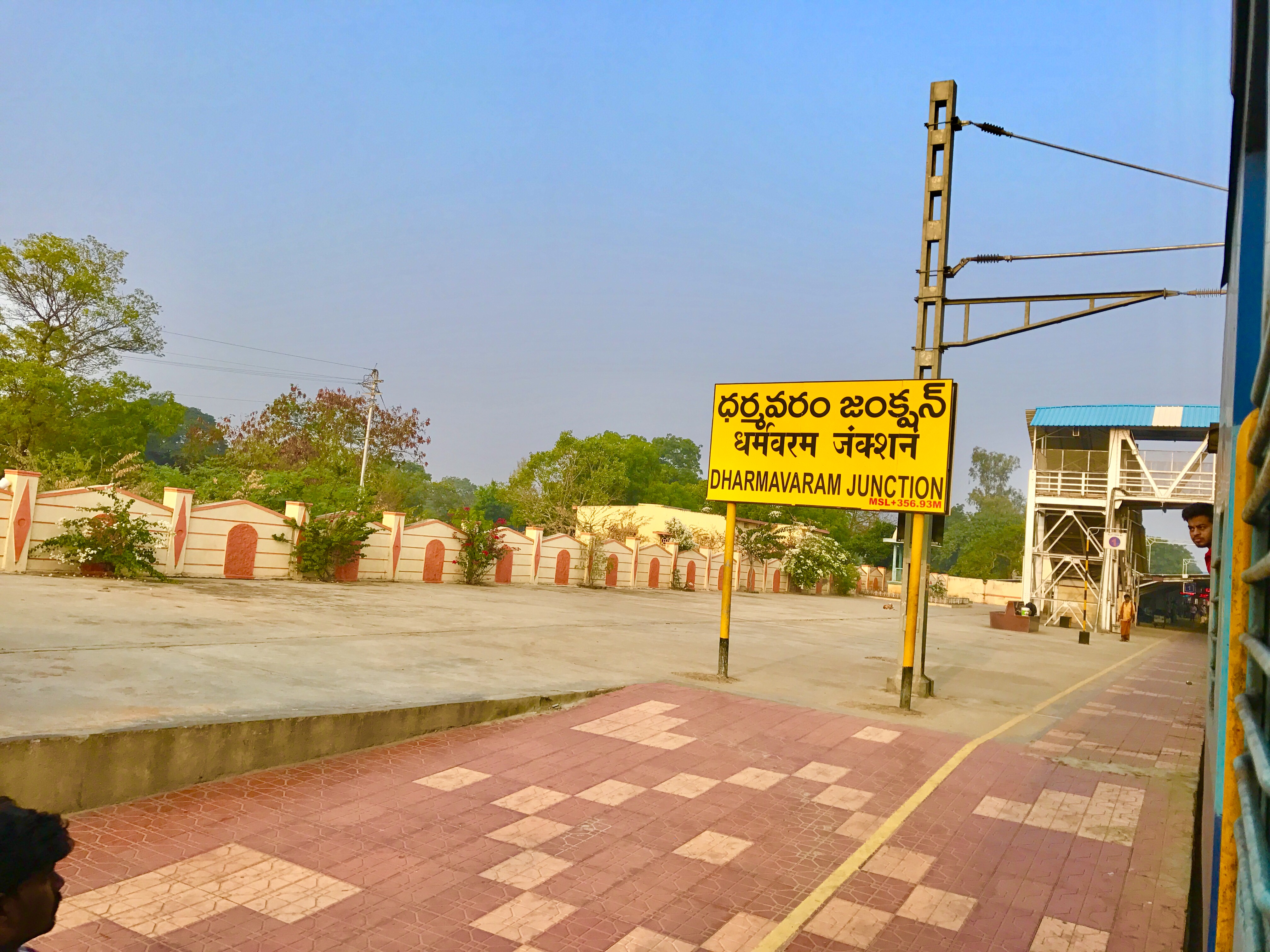 Dharmavaram |
1 | Hindupur | Penukonda Division | 1,51,677 |  Kadiri | ||||
| 2 | Dharmavaram | Dharmavaram Division | 1,21,874 | ||||||
| 3 | Kadiri | Kadiri Division | 1,12,283 | ||||||
| 4 | Penukonda | Penukonda Division | 27,382 | ||||||
| 5 | Gorantla | Puttaparthi Division | 24,586 | ||||||
| 6 | Madakasira | Penukonda Division | 21,464 | ||||||
| 7 | Somandepalle | Penukonda Division | 18,895 | ||||||
| 8 | Mudigubba | Dharmavaram Division | 16,626 | ||||||
| 9 | Puttaparthi | Puttaparthi Division | 62,342 | ||||||
| 10 | Kothacheruvu | Puttaparthi Division | 14,564 | ||||||
Politics
There are one parliamentary and six assembly constituencies in Sri Sathya Sai district. The parliamentary constituencies are:
- Hindupur (Lok Sabha constituency)
The assembly constituencies are:[9]
| Constituency number | Name | Reserved for (SC/ST/None) |
Parliament |
|---|---|---|---|
| 156 | Madakasira | SC | Hindupur (Lok Sabha constituency) |
| 157 | Hindupur | None | Hindupur (Lok Sabha constituency) |
| 158 | Penukonda | None | Hindupur (Lok Sabha constituency) |
| 159 | Puttaparthi | None | Hindupur (Lok Sabha constituency) |
| 160 | Dharmavaram | None | Hindupur (Lok Sabha constituency) |
| 161 | Kadiri | None | Hindupur (Lok Sabha constituency) |
References
- "District Census Hand Book - Anantapur" (PDF). Census of India. Registrar General and Census Commissioner of India.
- Raghavendra, V. (26 January 2022). "With creation of 13 new districts, AP now has 26 districts". The Hindu. ISSN 0971-751X. Archived from the original on 26 January 2022. Retrieved 26 January 2022.
- "AP issues draft gazette notification on 26 districts". Deccan Chronicle. 26 January 2022. Archived from the original on 29 January 2022. Retrieved 11 February 2022.
- "New districts to come into force on April 4". The Hindu. 30 March 2022. Retrieved 31 March 2022.
{{cite web}}: CS1 maint: url-status (link) - "కొత్త జిల్లా తాజా స్వరూపం". Eenadu.net (in Telugu). 31 March 2022. Retrieved 31 March 2022.
{{cite web}}: CS1 maint: url-status (link) - "Population by Religion - Andhra Pradesh". censusindia.gov.in. Office of the Registrar General & Census Commissioner, India. 2011.
- "Table C-16 Population by Mother Tongue: Andhra Pradesh". Census of India. Registrar General and Census Commissioner of India.
- "New AP Map: Check Out Biggest and Smallest Districts in Andhra Pradesh". Sakshi Post. 3 April 2022. Retrieved 3 May 2022.
- "District-wise Assembly-Constituencies". ceoandhra.nic.in.
Capital: Amaravati | |||
| Topics |
| ||
| Regions | |||
| Districts |
| ||
| Million-plus cities | |||
| Cities (population over 1 lakh) |
| ||
| Tourism |
| ||
| History |
| ||
| Related lists |
| ||
| |||
Другой контент может иметь иную лицензию. Перед использованием материалов сайта WikiSort.org внимательно изучите правила лицензирования конкретных элементов наполнения сайта.
WikiSort.org - проект по пересортировке и дополнению контента Википедии