world.wikisort.org - India
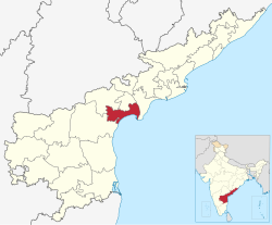
Bapatla district is a district in coastal Andhra in the Indian state of Andhra Pradesh established on 4 April 2022. The administrative headquarter is Bapatla. The district is formed from part of erstwhile Prakasam district and part of erstwhile Guntur district.[2][3][4][5]
Bapatla district | |
|---|---|
District of Andhra Pradesh | |
  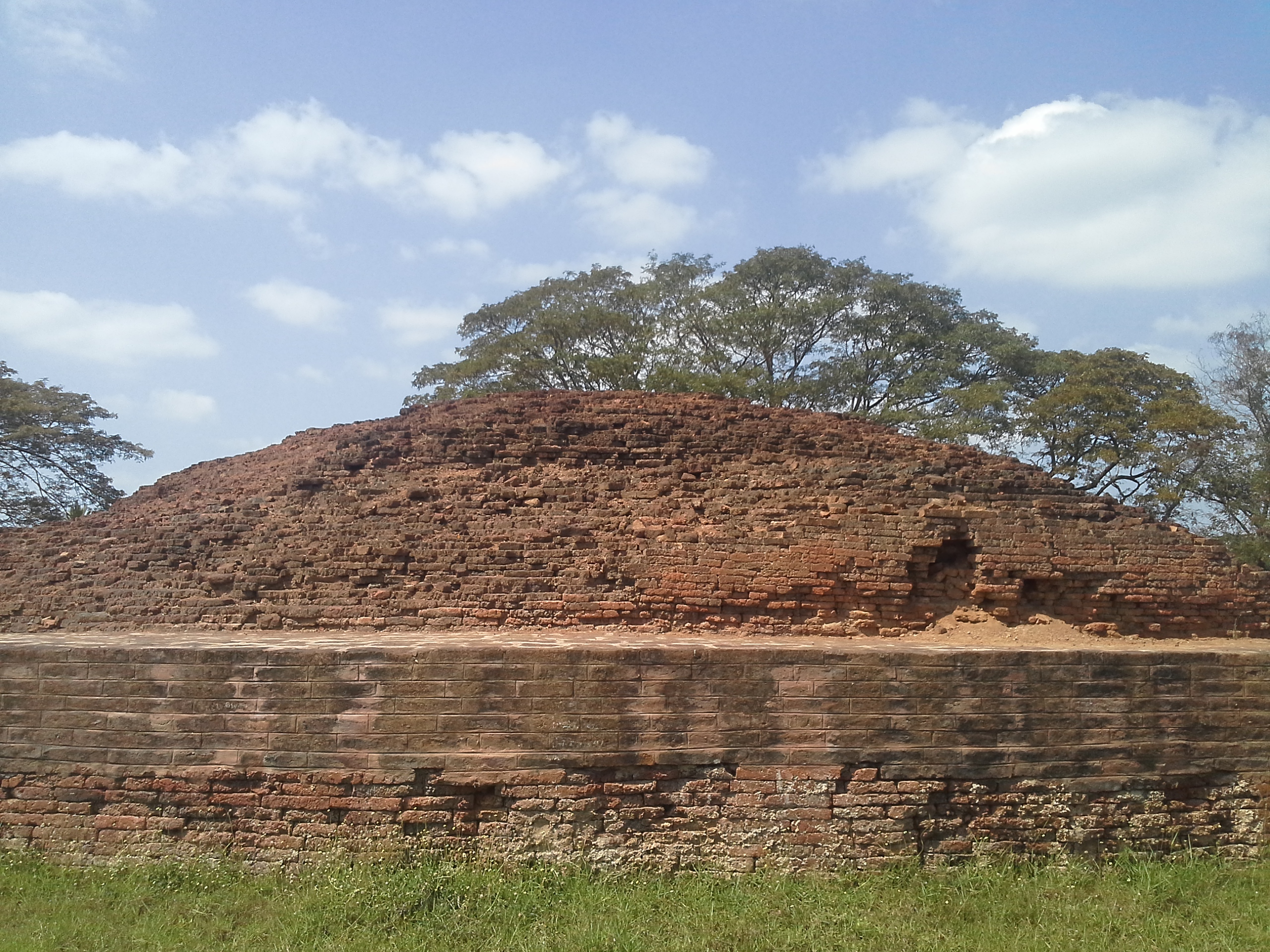   Clockwise from top-left: Anjaneya Swamy temple in Ponnur, St. Mark's Lutheran Church in Chirala, Venkateshwara Temple in Peravali, Orchards at Edlapalli, Stupa at Bhattiprolu | |
 | |
| Coordinates: 15.905°N 80.468°E | |
| Country | |
| State | |
| Region | Coastal Andhra |
| Headquarters | Bapatla |
| Government | |
| • District collector | Smt. Vijaya Krishnan, I.A.S. Collector & District Magistrate |
| • Lok Sabha constituencies | Bapatla |
| • MP | Nandigam Suresh |
| • Assembly constituencies | 06 |
| Area | |
| • Total | 3,828.84 km2 (1,478.32 sq mi) |
| Population (2011)[1] | |
| • Total | 1,586,918 |
| • Density | 410/km2 (1,100/sq mi) |
| Time zone | UTC+05:30 (IST) |
| Website | bapatla |

It has an Air Force Station and several universities.
Geography
This district is surrounded by North of Palnadu district , Northeast of Guntur district ,South of Bay of Bengal , West of Prakasam district And East of Krishna district.[citation needed]
Demographics
At the time of the 2011 census Bapatla district had a population of 15,86,918. Scheduled Castes and Scheduled Tribes made up 3,58,655 (22.61%) and 75,838 (4.78%) of the population respectively.[6]: 77–82 [7]: 77–81
At the time of the 2011 census, 93.00% of the population spoke Telugu and 6.12% Urdu as their first language.[9]
Administrative divisions
The district has two revenue divisions, namely Bapatla, Chirala and Repalle division, each headed by a sub collector. These revenue divisions are divided into 25 mandals. The district consists of three municipalities and One Nagar Panchayath. Repalle(28 wards), Bapatla (34 wards) and Chirala (33 wards) are the three municipalities & Addanki(20 wards) is the only one Nagar Panchayath.[citation needed]
Politics
There are one parliamentary and six assembly constituencies in Bapatla district. The parliamentary constituencies are
- Bapatla (Lok Sabha constituency)
The assembly constituencies are[10]
| Constituency number | Name | Reserved for (SC/ST/None) |
Parliament |
|---|---|---|---|
| 89 | Vemuru | SC | Bapatla (Lok Sabha constituency) |
| 90 | Repalle | None | Bapatla (Lok Sabha constituency) |
| 92 | Bapatla | None | Bapatla (Lok Sabha constituency) |
| 104 | Parchur | None | Bapatla (Lok Sabha constituency) |
| 105 | Addanki | None | Bapatla (Lok Sabha constituency) |
| 106 | Chirala | None | Bapatla (Lok Sabha constituency) |
Mandals
There are 6 mandals in Bapatla revenue division, 10 in Chirala revenue division and 9 in Repalle revenue division. The 25 mandals under their revenue divisions are listed below:[11][12]
Cities and towns
Largest cities or towns in Bapatla District As per the 2011 Census | |||||||||
|---|---|---|---|---|---|---|---|---|---|
| Rank | Division | Pop. | |||||||
 Chirala |
1 | Chirala | Chirala Division | 1,62,471 | |||||
| 2 | Bapatla | Bapatla Division | 70,777 | ||||||
| 3 | Repalle | Bapatla Division | 50,866 | ||||||
| 4 | Addanki | Chirala Division | 48,022 | ||||||
| 5 | Parchur | Chirala Division | 13,375 | ||||||
| 6 | Santhamaguluru | Chirala Division | 9,675 | ||||||
| 7 | [[{{{city_7}}}]] | [[{{{div_7}}}]] | {{{pop_7}}} | ||||||
| 8 | [[{{{city_8}}}]] | [[{{{div_8}}}]] | {{{pop_8}}} | ||||||
| 9 | [[{{{city_9}}}]] | [[{{{div_9}}}]] | {{{pop_9}}} | ||||||
| 10 | [[{{{city_10}}}]] | [[{{{div_10}}}]] | {{{pop_10}}} | ||||||
| S.No. | City / Town | Civic Status of Town | Municipality
Formation Year |
2011 Census
Population |
2001 Census
Population |
1991 Census
Population |
1981 Census
Population |
1971 Census
Population |
1961 Census
Population |
1951 Census
Population |
|---|---|---|---|---|---|---|---|---|---|---|
| 1 | Chirala | Municipality Grade - 1 | 1948 | 162,471 | 129,242 | 1,08,467 | 72,040 | 54,487 | 45,410 | 37,729 |
| 2 | Bapatla | Municipality Grade - 1 | 1951 | 70,777 | 68,397 | 62,536 | 55,347 | 41,947 | 33,668 | 22,748 |
| 3 | Repalle | Municipality Grade - 2 | 1956 | 50,866 | 42,539 | 36,493 | 34,155 | 27,216 | 21,941 | 14,000 |
| 4 | Addanki | Nagar Panchayat | 2011 | 48,022 | 35,019 | 24,0448 | 16,618 | 10,223 | 7,438 | 12,075 |
Note -
| S.No | Town | Civic Status of Town | 2011 Census
Population |
|---|---|---|---|
| 1 | Parchur | Grama Panchayat | 13,375 |
| 2 | Santhamaguluru | Grama Panchayat | 9,687 |
| 3 | Amruthalur | Grama Panchayat | 6,524 |
| 4 | Pallapatla. [Nizampatnam] | Grama Panchayat | 3,190 |
Notable people
This section does not cite any sources. (September 2022) |
- Pawan Kalyan, film actor
- Daggubati Purandeswari, Member of Parliament, former Central Minister and BJP National Leader
- Daggubati Venkateswara Rao, former State Minister and Member of Parliament
- Kona Prabhakara Rao, former Andhra Pradesh Assembly Speaker, State Minister and Governor
- D. Ramanaidu, Member of Parliament and Film Producer
- Gade Venkata Reddy, former State Minister
- Konijeti Rosaiah, former Chief Minister of Andhra Pradesh and Governor
- Kona Venkat, film writer
- Ummareddy Venkateswarlu, Member of Parliament and former Central Minister
- K. Viswanath, film director
- Chiranjeevi, film actor
References
- "Demography | Bapatla District, Government of Andhra Pradesh | India". Retrieved 16 April 2022.
- Raghavendra, V. (26 January 2022). "With creation of 13 new districts, AP now has 26 districts". The Hindu. ISSN 0971-751X. Archived from the original on 26 January 2022. Retrieved 26 January 2022.
- "AP issues draft gazette notification on 26 districts". Deccan Chronicle. 26 January 2022. Archived from the original on 29 January 2022. Retrieved 11 February 2022.
- "New districts to come into force on April 4". The Hindu. 30 March 2022. Retrieved 31 March 2022.
{{cite web}}: CS1 maint: url-status (link) - "కొత్త జిల్లా తాజా స్వరూపం". Eenadu.net (in Telugu). 31 March 2022. Retrieved 31 March 2022.
{{cite web}}: CS1 maint: url-status (link) - "District Census Hand Book – Guntur" (PDF). Census of India. Registrar General and Census Commissioner of India.
- "District Census Hand Book - Prakasam" (PDF). Census of India. Registrar General and Census Commissioner of India.
- "Population by Religion - Andhra Pradesh". censusindia.gov.in. Office of the Registrar General & Census Commissioner, India. 2011.
- "Table C-16 Population by Mother Tongue: Andhra Pradesh". Census of India. Registrar General and Census Commissioner of India.
- "District-wise Assembly-Constituencies". ceoandhra.nic.in.
- "New AP Map: Check Out Biggest and Smallest Districts in Andhra Pradesh". Sakshi Post. 3 April 2022. Retrieved 3 May 2022.
- "జగన్ సర్కార్ కీలక నిర్ణయం.. మరో కొత్త రెవెన్యూ డివిజన్ ఏర్పాటు, నెరవేరిన కల!". Samayam Telugu (in Telugu). Retrieved 15 August 2022.
Capital: Amaravati | |||
| Topics |
| ||
| Regions | |||
| Districts |
| ||
| Million-plus cities | |||
| Cities (population over 1 lakh) |
| ||
| Tourism |
| ||
| History |
| ||
| Related lists |
| ||
| |||
Другой контент может иметь иную лицензию. Перед использованием материалов сайта WikiSort.org внимательно изучите правила лицензирования конкретных элементов наполнения сайта.
WikiSort.org - проект по пересортировке и дополнению контента Википедии