world.wikisort.org - Bangladesh
Gazipur (Bengali: গাজীপুর) is a district in central Bangladesh, part of the Dhaka Division. It has an area of 1741.53 km2.[3] It is the home district of Tajuddin Ahmad, the first Prime Minister of Bangladesh and has been a prominent centre of battles and movements throughout history. Gazipur is home to the Bishwa Ijtema, the second-largest annual Muslim gathering in the world with over 5 million attendees.[4] There are many facilities available in this district as it contains numerous universities, colleges, the Bangabandhu Sheikh Mujib Safari Park, Bhawal National Park as well as the country's only business park - the Bangabandhu Hi-Tech City.
This article needs additional citations for verification. (May 2014) |
Gazipur District
গাজীপুর জেলা | |
|---|---|
District of Bangladesh | |
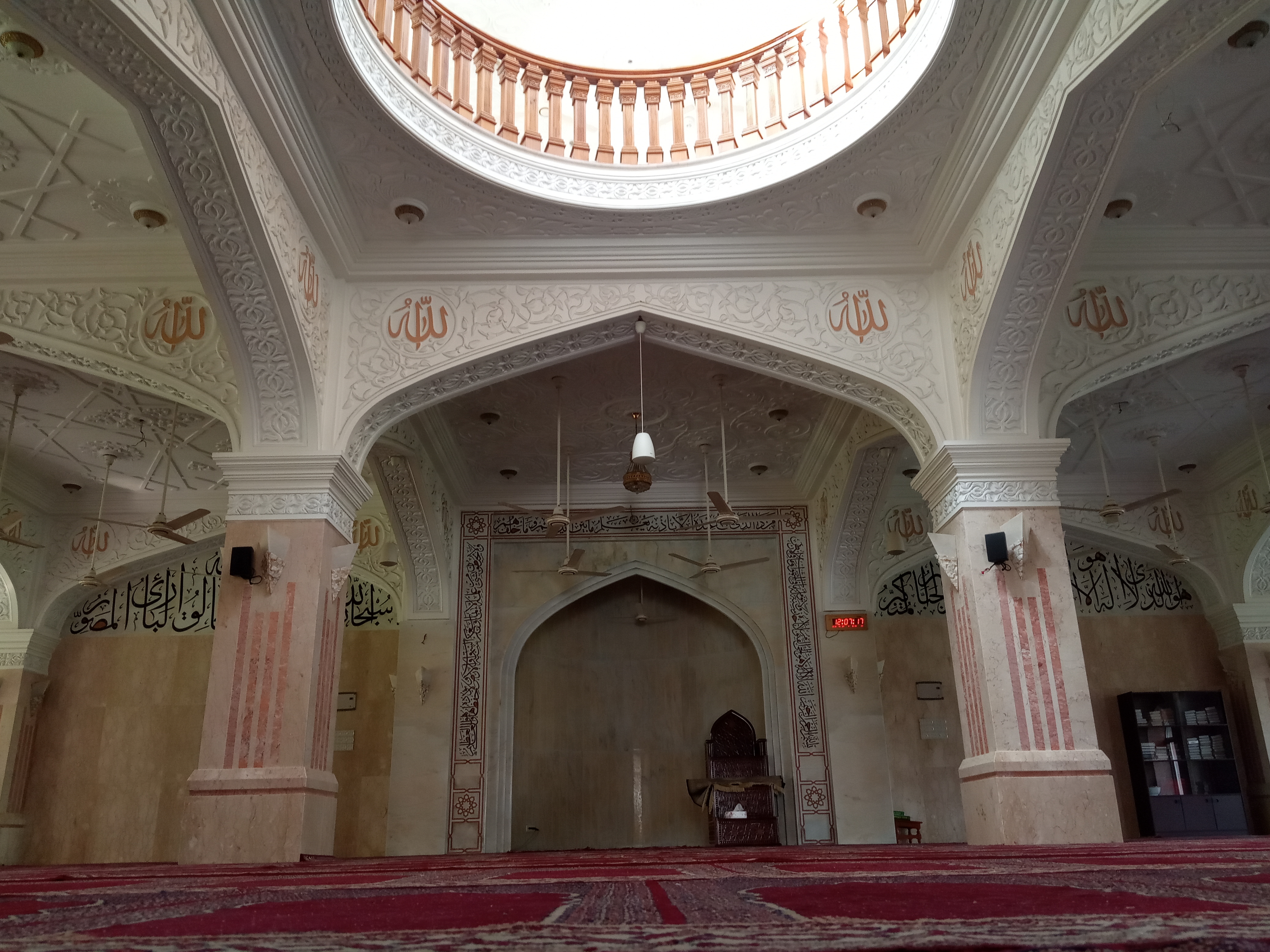
     IUT at Gazipur, Bhawal Zamindar Bari, Banglabandhu Safari Park, Bhawal National Park, Nuhash Polli | |
 Location of Gazipur District in Bangladesh | |
 Expandable map of Gazipur District | |
| Coordinates: 24.00°N 90.43°E | |
| Country | |
| Division | Dhaka Division |
| Government | |
| • Deputy Commissioner | Mr. Anisur Rahman |
| Area | |
| • Total | 1,770.54 km2 (683.61 sq mi) |
| Population (2022 census) | |
| • Total | 5,263,474 |
| • Density | 3,000/km2 (7,700/sq mi) |
| Demonym | Gazipur basi |
| Literacy rate | |
| Time zone | UTC+06:00 (BST) |
| Postal code | |
| Coast | 5 km (3.1 mi) |
| Website | gazipur |
History
The ancient city of Dholsamudra in present-day Gazipur served as one of the capitals of the Buddhist Pala Empire. In the sixth century, forts were built in Toke and Ekdala which continued to be used as late as the Mughal Period. The area became known as a strategic region with the establishment of more forts such as that of Karnapur, the digging of the Twin Ponds in 1045. Chinashkhania was the capital of the Chandalas and Shishu Pal had his capital in modern-day Sreepur, which the ruins of can still be seen today. Another fort was built in Dardaria in 1200.[3]
During the reign of the Sultan of Bengal Alauddin Husain Shah (1494-1519), an Islamic scholar known as Shaykh Muhammad ibn Yazdan Bakhsh Bengali visited Ekdala where he transcribed Sahih al-Bukhari and gifted it to the Sultan in nearby Sonargaon. The manuscript is currently kept at the Khuda Bakhsh Oriental Library in Bankipore, Patna, Bihar.[5][6]
The anti-Mughal leader of the Baro-Bhuiyans, Isa Khan, died of natural causes in September 1599. He was buried in the village of Bakhtarpur.[7] During the governorship of Subahdar Mir Jumla II, a bridge was constructed in Tongi.
The British colonials built indigo factories in Raniganj and Barmi. The first armed resistance of the 1971 Bangladesh Liberation War took place in Gazipur on 19 March 1971.
Demographics
| Year | Pop. | ±% p.a. |
|---|---|---|
| 1974 | 898,264 | — |
| 1981 | 1,176,429 | +3.93% |
| 1991 | 1,621,562 | +3.26% |
| 2001 | 2,031,891 | +2.28% |
| 2011 | 3,403,912 | +5.30% |
| Sources:[8] | ||
According to the 2011 Bangladesh census, Gazipur District had a population of 3,403,912, of which 1,775,310 were males and 1,628,602 were females. Rural population was 2,366,338 (69.52%) while urban population was 1,037,574 (30.48%). Gazipur had a literacy rate of 62.60% for the population 7 years and above: 65.96% for males and 58.12% for females.[8]
| Religion | Population (1941)[9]: 94–95 | Percentage (1941) | Population (2011)[8] | Percentage (2011) |
|---|---|---|---|---|
| Islam |
366,601 | 73.76% | 3,200,383 | 94.02% |
| Hinduism |
127,450 | 25.64% | 176,582 | 5.19% |
| Christianity |
16 | 0.00% | 23,843 | 0.70% |
| Others [lower-alpha 2] | 2,978 | 0.60% | 3,104 | 0.09% |
| Total Population | 497,045 | 100 | 3403,912 | 100% |
At the time of the 2011 census, the district has a population of 3,403,912. 94.02% are Muslims, 5.19% Hindus and 0.70% Christians. Unlike most of Bangladesh, religious minorities are more concentrated in rural areas than urban areas.
Administration

Gazipur District was established in 1984. It has one city corporation, the Gazipur City Corporation, and is divided into the following upazilas:
Gazipur (town) has 9 Wards and 31 Mahallas. The area of the town is 49.32 km2. The town's population is 123,531; male 52.52%, female 47.48%; density is 2,505 per km2.
- Mayor Of Gazipur City Corporation: Jahangir Alam
- Administrator of Zila Parishod: Akhteruzzaman[10]
- Deputy Commissioner: Nurul Islam[11]
Transport
- Dhaka-Tongi diversion road connects Gazipur with Dhaka.
- Dhaka-Savar-Tangail road connects Gazipur With Savar and Manikgonj.
- There are seven railway stations in the Gazipur district.
Education
There are six universities in Gazipur: Islamic University of Technology, Bangabandhu Sheikh Mujibur Rahman Agricultural University (formerly the Institute of Postgraduate Studies on Agriculture), Dhaka University of Engineering and Technology, Bangladesh Open University, German University Bangladesh,Bangladesh National University, Bangabandhu Sheikh Mujibur Rahman Digital University.
Establishments such as Gazipur Cantonment College, Islamic University of Technology, Bangladesh Rice Research Institute (BRRI), Bangladesh Agricultural Research Institute (BARI) and others are located here.[12][unreliable source?]
There are two masters level colleges in the district: Bhawal Badre Alam Government College and Tongi Government College.[13]
There are 19 degree colleges in the district. Honors level colleges include: Kaliakair Degree College, Jatir Pita Bangabandhu Degree College, Kaligonj Sramik College, Kapasia Degree College (founded in 1965), and Kazi Azim Uddin College.[14]
Notable higher secondary schools include Gazipur Cantonment College, Gazipur Government Women's College, Safiuddin Sarker Academy and College, Gazipur Metropolitan College, M. E. H. Arif College, and Tongi Pilot School & Girls' College.[15]
The madrasa education system includes 26 fazil and 3 kamil madrasas.[16][17]
Tourist attractions
Gazipur is one of the most popular tourist destinations in Bangladesh. There are several tourist attractions in this area. Most notable are:
- Bangabandhu Sheikh Mujib Safari Park
- Bhawal National Park
- Nuhash Polli
- Bhadun
Establishments
- ওয়েলফশন মানবকল্যাণ সংঘ[19] (EN- Welftion Human Welfare Association)
Notable people
- Tajuddin Ahmad, first Prime Minister of Bangladesh
- Afsaruddin Ahmad, lawyer
- M. Zahid Hasan, quantum physician
- Ahsanullah Master, trade union leader
- Hannan Shah, army officer
- Mohammad Sanaullah, physician
- Mohammad Shahidullah, politician
- Abu Jafar Shamsuddin, author
- Mohammad Obaid Ullah, politician
- Zahid Ahsan Russel, politician
- Simeen Hussain Rimi, politician
- Meghnad Saha, astrophysicist and developer of the Saha ionization equation
- Tanjim Ahmad Sohel Taj, former minister, politician and television host
- Zahir Uddin Ahmed, former Chief of Naval Staff, Bangladesh Navy
See also
- Districts of Bangladesh
Notes
- Kaliganj, Kapasia, Joydepur, Sripur and Kaliakair thanas of Dhaka district
- Including Jainism, Buddhism, Zoroastrianism, Judaism, Ad-Dharmis, or not stated
References
- Bangladesh Continual: Zip Codes of Gazipur District
- Postal Zip Codes (postcode) for Gazipur District – Amardesh
- Ahmed, Muhammad Farid Uddin (2012). "Gazipur District". In Islam, Sirajul; Miah, Sajahan; Khanam, Mahfuza; Ahmed, Sabbir (eds.). Banglapedia: the National Encyclopedia of Bangladesh (Online ed.). Dhaka, Bangladesh: Banglapedia Trust, Asiatic Society of Bangladesh. ISBN 984-32-0576-6. OCLC 52727562. Retrieved 10 November 2022.
- Lemos, Eirini (7 January 2016). "What is the festival of Bishwa Ijtema and where is it held?". The Telegraph.
- Mawlana Nur Muhammad Azmi. "2.2 বঙ্গে এলমে হাদীছ" [2.2 Knowledge of Hadith in Bengal]. হাদীছের তত্ত্ব ও ইতিহাস [Information and history of Hadith] (in Bengali). Emdadia Library. p. 24.
- Tarikh al-Hadith Ma`arif
- Sharif Ahmad Shamim (19 Nov 2017). ঈশা খাঁর কবর গাজীপুরে! [Isa Khar Qobor Gazipure]. Kaler Kantho (in Bengali). Gazipur. Archived from the original on 21 October 2019. Retrieved 21 October 2019.
- "Bangladesh Population and Housing Census 2011 Zila Report – Gazipur" (PDF). bbs.gov.bd. Bangladesh Bureau of Statistics.
- "CENSUS OF INDIA, 1941 VOLUME VI BENGAL PROVINCE" (PDF).
- AL men appointed administrators, The Daily Star, December 16, 2011
- "10 districts get new DCs". bdnews24.com. 16 January 2012.
- "Gazipur District Town". Wikimapia. 2012. Retrieved November 27, 2020.
- "Masters Level College". Ministry of Education. Retrieved July 15, 2014.
- "Degree (Pass) Level College". Ministry of Education. Retrieved July 15, 2014.
- "School & College". Ministry of Education. Retrieved July 15, 2014.
- "Fazil Madrasha". Ministry of Education. Retrieved July 15, 2014.
- "Kamil Madrasha". Ministry of Education. Retrieved July 15, 2014.
- "Top-Rated Tourist Attractions in Gazipur". Retrieved 29 August 2021.
- ওয়েলফশন এর করোনা কর্মসূচি সমাপ্ত ও ঈদ উপহার সামগ্রী বিতরণ। - PBN24. pbn24.com. Retrieved 2020-05-26.[permanent dead link]
| Barisal Division |
|  |
|---|---|---|
| Chittagong Division | ||
| Dhaka Division | ||
| Khulna Division | ||
| Mymensingh Division | ||
| Rajshahi Division | ||
| Rangpur Division | ||
| Sylhet Division | ||
Authority control | |
|---|---|
| General |
|
| National libraries | |
| Other |
|
На других языках
- [en] Gazipur District
[ru] Газипур (округ)
Газипур (бенг. গাজীপুর জেলা, англ. Gazipur District) — округ в центральной части Бангладеш, в области Дакка. Образован в 1984 году. Административный центр — город Газипур. Площадь округа — 1742 км². По данным переписи 2001 года население округа составляло 2 026 244 человека. Уровень грамотности взрослого населения составлял 36,25 %, что немного ниже среднего уровня по Бангладеш (43,1 %). 91,9 % населения округа исповедовало ислам, 7,5 % — индуизм.Другой контент может иметь иную лицензию. Перед использованием материалов сайта WikiSort.org внимательно изучите правила лицензирования конкретных элементов наполнения сайта.
WikiSort.org - проект по пересортировке и дополнению контента Википедии