world.wikisort.org - USA
East Providence is a city in Providence County, Rhode Island, United States. The population was 47,139 at the 2020 census, making it the fifth-largest city in the state.
East Providence, Rhode Island | |
|---|---|
City | |
| City of East Providence | |
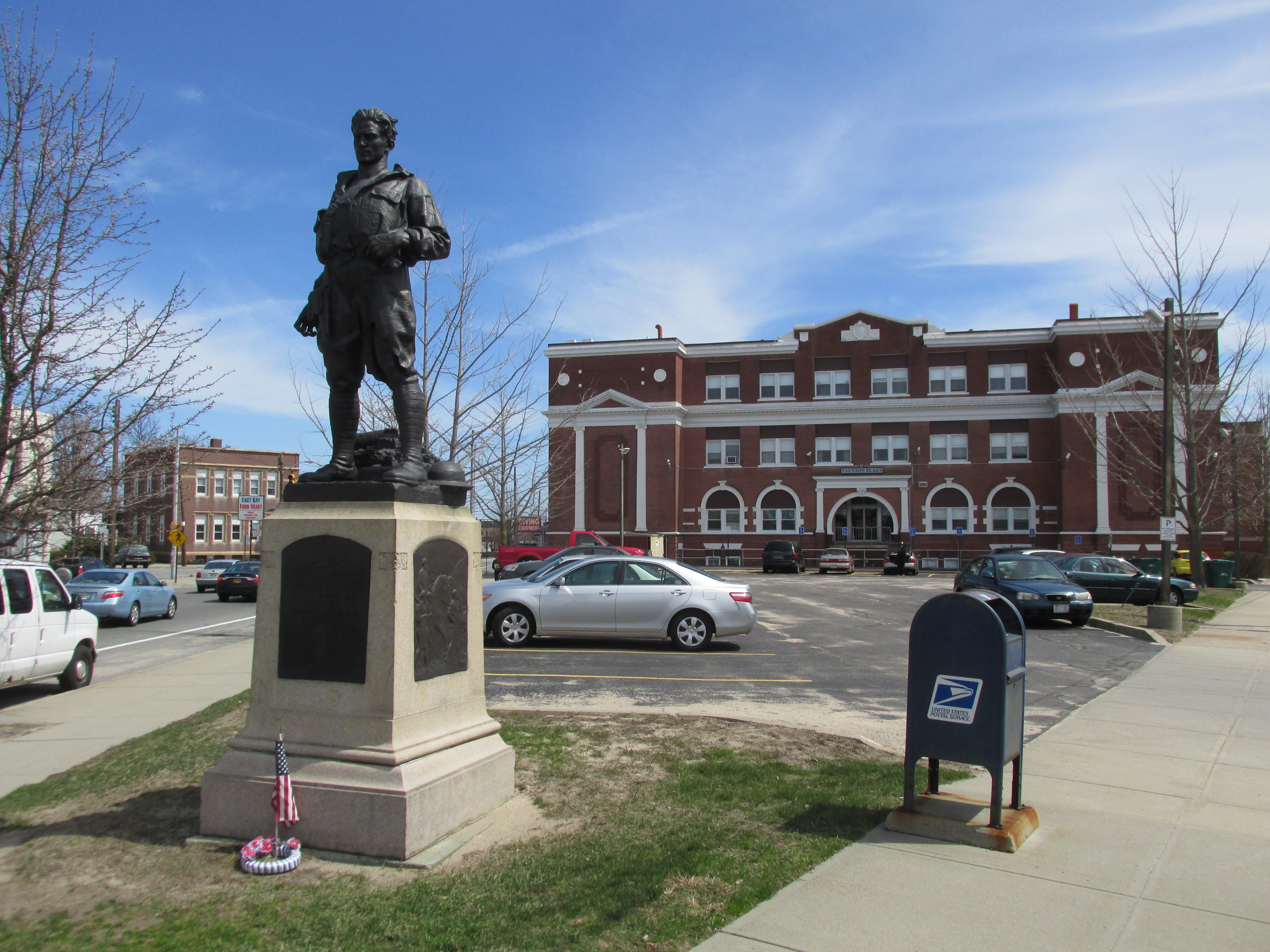 World War I Memorial and Taunton Plaza | |
 Flag  Seal | |
 Location in Providence County and the state of Rhode Island. | |
 East Providence Location in Rhode Island  East Providence Location in the United States | |
| Coordinates: 41°48′49″N 71°22′12″W | |
| Country | |
| State | |
| County | Providence County |
| Incorporated (town) | 1862 |
| Incorporated (city) | 1958 |
| Government | |
| • Type | Mayor-council |
| • Mayor | Roberto DaSilva |
| • City Council | Robert Britto: Ward 1 (Council President) Robert Rodericks: At-Large (Council Vice-President): Ward 1 Anna M. Sousa: Ward 2 Nathan Cahoon: Ward 3 Ricardo Mourato: Ward 4 |
| Area | |
| • Total | 16.61 sq mi (43.01 km2) |
| • Land | 13.28 sq mi (34.41 km2) |
| • Water | 3.32 sq mi (8.60 km2) |
| Elevation | 62 ft (19 m) |
| Population (2020)[3] | |
| • Total | 47,139 |
| • Density | 3,548.55/sq mi (1,370.08/km2) |
| Time zone | UTC−5 (Eastern) |
| • Summer (DST) | UTC−4 (Eastern) |
| ZIP code | 02914, 02915, 02916 |
| Area code | 401 |
| FIPS code | 44-22960[4] |
| GNIS feature ID | 1219590[2] |
| Website | eastprovidenceri.net |
Geography
East Providence is located between the Providence and Seekonk Rivers on the west and the Seekonk area of Massachusetts on the east. According to the United States Census Bureau, the city has a total area of 16.6 square miles (43 km2), of which, 13.4 square miles (35 km2) of it is land and 3.2 square miles (8.3 km2) of it (19.33%) is water.
The following villages are located in East Providence:[5]
- East Providence Center
- Riverside
- Rumford
Governance


The City of East Providence is governed by an elected mayor and a five-member city council, with the mayor and counselors elected every four years. City council members are elected one each from four wards and one elected at-large.
Executive branch
The mayor is both the ceremonial leader of the city and the chief executive officer. The mayor runs the daily operations of the city, enforces the charter and ordinances of the city and appoints all department heads except the city clerk. The current mayor of East Providence is Roberto DaSilva, who took office on January 9, 2019.
Up until January 9, 2019, the day-to-day operations were managed by a professional city manager appointed by the city council, and the mayor was the president of the city council, acting ceremonially.
Legislative branch
The city council sets all city ordinances, sets the budget of the city (with recommendation from the mayor) and provides legislative oversight for city operations.
The city council elects a council president and council vice-president to preside over meetings. The city council also appoints the city clerk.
Up until 2019, The city council served two-year terms, and the city council oversaw the entire city government under a council-manager system.
As of 2019[update], the members of the East Providence City Council are:
- Robert Rodericks—At-Large (council vice-president)
- Robert Britto—Ward 1 (council president)
- Anna Sousa—Ward 2
- Nathan Cahoon—Ward 3
- Ricardo Mourato—Ward 4
Judicial branch
The City of East Providence has a municipal court, which hears cases regarding violations of municipal ordinances, housing code violations and minor traffic violations. The city also has a probate court, which handles estates, name changes, guardianships and related matters. Judges for both courts are appointed by the mayor with confirmation by the city council for a term of two years.
Education governance
The city also has an elected school committee, elected for two year terms by the same ward system as the city council. The school committee has broad authority to manage the school system, including setting all school system policies, setting the school system budget (within the general appropriation by the city, state and federal government) as well as selecting and overseeing the Superintendent of Schools.
Other boards and commissions
The city has an appointed library board of trustees which governs the city's library system and various other appointed governing and advisory boards and commissions.
Demographics
| Historical population | |||
|---|---|---|---|
| Census | Pop. | %± | |
| 1870 | 2,668 | — | |
| 1880 | 5,056 | 89.5% | |
| 1890 | 8,422 | 66.6% | |
| 1900 | 12,138 | 44.1% | |
| 1910 | 15,808 | 30.2% | |
| 1920 | 21,793 | 37.9% | |
| 1930 | 29,995 | 37.6% | |
| 1940 | 32,165 | 7.2% | |
| 1950 | 35,871 | 11.5% | |
| 1960 | 41,955 | 17.0% | |
| 1970 | 48,207 | 14.9% | |
| 1980 | 50,980 | 5.8% | |
| 1990 | 50,380 | −1.2% | |
| 2000 | 48,688 | −3.4% | |
| 2010 | 47,037 | −3.4% | |
| 2020 | 47,139 | 0.2% | |
| U.S. Decennial Census[6][3] | |||
As of the census[4] of 2000, there were 48,688 people, 20,530 households, and 12,851 families residing in the city. The population density was 3,632.1 inhabitants per square mile (1,402.4/km2). There were 21,309 housing units at an average density of 1,589.6 per square mile (613.7/km2). The racial makeup of the city was 86.49% White, 5.02% African American, 0.46% Native American, 1.15% Asian, 0.05% Pacific Islander, 2.80% from other races, and 4.03% from two or more races. Hispanic or Latino of any race were 1.89% of the population.
There were 20,530 households, out of which 27.1% had children under the age of 18 living with them, 46.3% were married couples living together, 12.7% had a female householder with no husband present, and 37.4% were non-families. 32.4% of all households were made up of individuals, and 14.6% had someone living alone who was 65 years of age or older. The average household size was 2.33 and the average family size was 2.99.
In the city, the population was spread out, with 21.7% under the age of 18, 7.4% from 18 to 24, 29.4% from 25 to 44, 22.6% from 45 to 64, and 18.9% who were 65 years of age or older. The median age was 40 years. For every 100 females, there were 86.8 males. For every 100 females age 18 and over, there were 82.6 males.
The median income for a household in the city was $39,108, and the median income for a family was $48,463. Males had a median income of $34,342 versus $26,423 for females. The per capita income for the city was $19,527. About 6.3% of families and 8.6% of the population were below the poverty line, including 10.7% of those under age 18 and 11.0% of those aged 65 or over.
The population has large immigrant communities from Portugal, the Azores, Madeira and Cape Verde.
Education

East Providence has 13 public and 5 non-public schools:
Public schools
Elementary
- Agnes B. "Hennessey"
- Alice M. "Waddington" – built 1954
- Emma G. "Whiteknact"
- James R.D. "Oldham"
- Kent Heights
- Myron J. "Francis" - built 1989
- Orlo Avenue School
- Silver Spring
Middle schools
- Edward R. Martin Middle School – built 1977
- Riverside Middle School
High school
- Grove Ave. Educational Development Center
- East Providence High School – built 1952
- East Providence Career & Technical Center
Non-public elementary and junior-high schools
- St. Mary "Bayview" Academy
- Sacred Heart School
- St. Margaret School
- The Gordon School
- Providence Country Day (P.C.D.).
Non-public high schools
- St. Mary "Bayview" Academy
- Providence Country Day (P.C.D.).
Health and medicine

Bradley Hospital, the nation's first psychiatric facility exclusively for children, was founded in 1931. It is a teaching hospital for the Warren Alpert Medical School of Brown University.[7]
National Register of Historic Places listings in East Providence
- Bicknell–Armington Lightning Splitter House
- Boston and Providence Railroad Bridge
- Bridgham Farm
- Carpenter, Lakeside, and Springvale Cemeteries
- Crescent Park Looff Carousel, (National Historic Landmark)
- Elm Tree Plat Historic District
- Nathaniel Daggett House
- James Dennis House
- District 6 Schoolhouse
- Little Neck Cemetery
- Newman Cemetery
- Newman Congregational Church
- Oddfellows' Hall
- Pomham Rocks Light
- Rose Land Park Plat Historic District
- Richmond Paper Company Mill Complex
- Rumford Chemical Works and Mill House Historic District
- Rumford Historic District
- Squantum Association
- St. Mary's Episcopal Church
- Phillip Walker House
- Whitcomb Farm
- World War I Memorial
Notable people
- Arunah Shepherdson Abell (1806–1888), philanthropist and newspaper publisher (Philadelphia Public Ledger and The Baltimore Sun); born in East Providence[8]
- Ben Sears, baseball pitcher drafted by the Kansas City Royals; attended East Providence High School
- Rebecca DiPietro, model and WWE Diva; lives in East Providence
- John Michael Greer, author and former Archdruid; lives in East Providence
- Elisabeth Hasselbeck, TV personality on Fox & Friends and The View; attended and graduated from St. Mary Academy – Bay View in 1995
- Jimmy Hatlo, cartoonist, was born in East Providence
- Claudia Jordan, model and reality TV personality (Deal or No Deal, Celebrity Apprentice); Miss Rhode Island USA (1997); grew up in East Providence[9]
- Jennifer Lee, co-writer of screenplay for Wreck-It Ralph; writer of screenplay for and co-director of Frozen; born in East Providence
- Davey Lopes, second baseman and coach for several Major League Baseball teams; born in East Providence
- Jamie Silva, football safety for the Indianapolis Colts; born in East Providence
- Meredith Vieira, presenter of Millionaire, co-host of Today and The View; born in East Providence
- Ron Wilson, hockey defenseman and coach for the US Olympic hockey team and several National Hockey League teams; attended East Providence High School
See also
 Rhode Island portal
References
- "ArcGIS REST Services Directory". United States Census Bureau. Retrieved October 12, 2022.
- U.S. Geological Survey Geographic Names Information System: East Providence, Rhode Island
- "Census Population API". United States Census Bureau. Retrieved Oct 12, 2022.
- "U.S. Census website". United States Census Bureau. Retrieved 2008-01-31.
- RIGIS Villages data layer Archived 2006-05-09 at the Wayback Machine
- "Census of Population and Housing". Census.gov. Retrieved June 4, 2015.
- "Bradley Hospital". Lifespan. Lifespan. Retrieved 30 October 2022.
- Who Was Who in America, Historical Volume, 1607-1896. Chicago: Marquis Who's Who. 1963.
- Anonymous. "Claudia Jordan". Miss USA. Miss Universe L.P., LLLP. Retrieved 27 June 2013.
Further reading
- Our Heritage: A History of East Providence, Joseph Conforti
External links
- City of East Providence
- East Providence School Department
- East Providence Public Library
- East Providence Historical Society
- East Providence Arts Council
- Births Index from the Rhode Island State Archives
- Guide to the East Providence Public Library Genealogical and Reference Materials from the Rhode Island State Archives
Municipalities and communities of Providence County, Rhode Island, United States | ||
|---|---|---|
County seat: Providence | ||
| Cities |  | |
| Towns | ||
| CDPs |
| |
| Other villages |
| |
| ||
State of Rhode Island | |
|---|---|
Providence (capital) | |
| Topics |
|
| Society |
|
| Regions |
|
| Cities | |
| Towns |
|
Authority control | |
|---|---|
| General | |
| National libraries | |
| Other |
|
На других языках
[de] East Providence
East Providence ist die fünftgrößte Stadt des Bundesstaates Rhode Island, Vereinigte Staaten. Sie liegt im Providence County und ist eine Vorstadt von Providence. Sie gehört mit Warwick, Cranston, North Providence und Pawtucket zur Providence Metropolitan Area, einem Ballungsraum mit mehr als 1,5 Millionen Einwohnern an der Atlantikküste etwa 40 km südwestlich von Boston und 200 km nordöstlich von New York.- [en] East Providence, Rhode Island
[ru] Ист-Провиденс (город)
Ист-Провиденс (англ. East Providence) — город в округе Провиденс, штат Род-Айленд, США. Население по данным переписи 2010 года — 47 037 человек, что делает Ист-Провиденс пятым по величине городом штата.Другой контент может иметь иную лицензию. Перед использованием материалов сайта WikiSort.org внимательно изучите правила лицензирования конкретных элементов наполнения сайта.
WikiSort.org - проект по пересортировке и дополнению контента Википедии