world.wikisort.org - France
Tancarville (French pronunciation: [tɑ̃kaʁvil]) is a commune in the Seine-Maritime department in the Normandy region of northern France.
Tancarville | |
|---|---|
Commune | |
 Tancarville Bridge | |
 Coat of arms | |
Location of Tancarville  | |
 Tancarville  Tancarville | |
| Coordinates: 49°29′16″N 0°27′16″E | |
| Country | France |
| Region | Normandy |
| Department | Seine-Maritime |
| Arrondissement | Le Havre |
| Canton | Bolbec |
| Intercommunality | Caux Seine Agglo |
| Government | |
| • Mayor (2020–2026) | Frédéric Rabby-Demaison[1] |
| Area 1 | 7.42 km2 (2.86 sq mi) |
| Population | 1,250 |
| • Density | 170/km2 (440/sq mi) |
| Time zone | UTC+01:00 (CET) |
| • Summer (DST) | UTC+02:00 (CEST) |
| INSEE/Postal code | 76684 /76430 |
| Elevation | 0–117 m (0–384 ft) (avg. 90 m or 300 ft) |
| 1 French Land Register data, which excludes lakes, ponds, glaciers > 1 km2 (0.386 sq mi or 247 acres) and river estuaries. | |
Geography
Tancarville is a farming village surrounded by woodland, by the banks of the river Seine in the Pays de Caux, some 14 miles (23 km) east of Le Havre and near the junction of the D39, D982 and D910 roads at the eastern end of the A131 autoroute. The canal de Tancarville to le Havre starts here and it is also the site of the 125 m high Tancarville Bridge.
History
Tancarvilla 1103; Tancardi villae 1114; Tankrad's farm. Germanic male given name Tankrad > Tancred, common in the duchy of Normandy. The first lords of Tancarville were the chamberlains of the Norman dukes, and then of the King of England too. William de Tancarville, a grandson of Stephen, Count of Tréguier, trained William Marshal, 1st Earl of Pembroke, whom he knighted in 1166. The title Earl of Tankerville was created in the Peerage of England for John Grey by King Henry V, during the Hundred Years' War and still exists, albeit in a later creation.
Heraldry
 |
The arms of Tancarville are blazoned : Gules, an escutcheon argent between 8 angennes (roses) in orle. (Note: this angenne is very rose-like, not the highly stylized cinqfoil.)
|
Population
| Year | Pop. | ±% p.a. |
|---|---|---|
| 1968 | 921 | — |
| 1975 | 1,026 | +1.55% |
| 1982 | 1,139 | +1.50% |
| 1990 | 1,326 | +1.92% |
| 1999 | 1,234 | −0.80% |
| 2007 | 1,264 | +0.30% |
| 2012 | 1,368 | +1.59% |
| 2017 | 1,284 | −1.26% |
| Source: INSEE[3] | ||
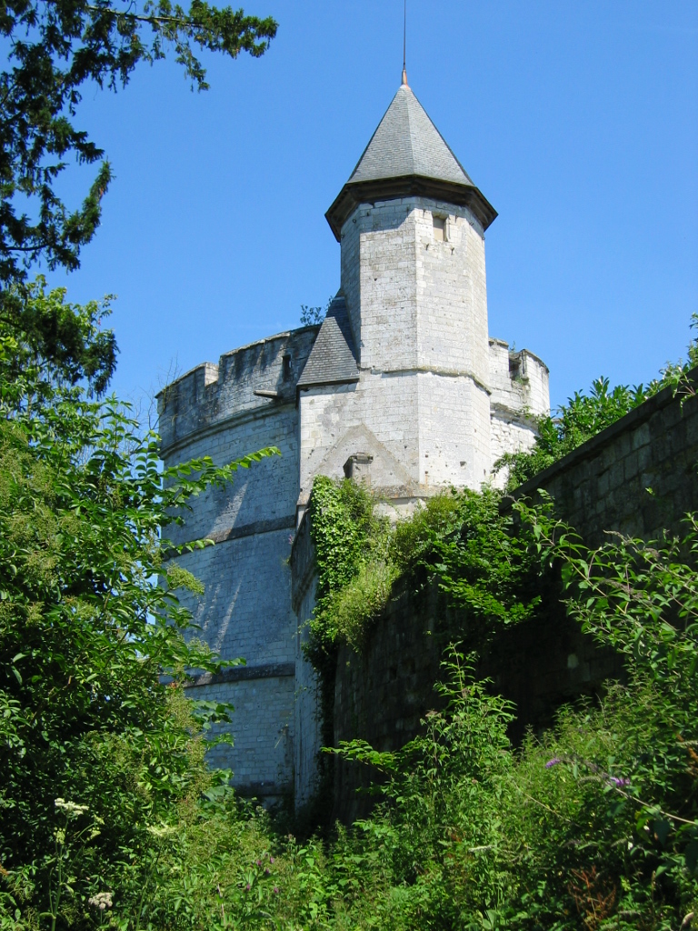
Places of interest

- The 19th-century church of St. Michel
- The 12th-century Château de Tancarville and chapel
- An 18th-century château
- The château of Drumare
- The Tancarville Bridge
- Vivier de Tancarville, a large natural reserve
See also
- Tancarville Bridge
- Communes of the Seine-Maritime department
References
- "Répertoire national des élus: les maires". data.gouv.fr, Plateforme ouverte des données publiques françaises (in French). 2 December 2020.
- "Populations légales 2019". The National Institute of Statistics and Economic Studies. 29 December 2021.
- Population en historique depuis 1968, INSEE
External links
Authority control | |
|---|---|
| General |
|
| National libraries | |
На других языках
[de] Tancarville
Tancarville ist eine französische Gemeinde mit 1250 Einwohnern (Stand 1. Januar 2019) im Département Seine-Maritime in der Region Normandie. Sie gehört zum Arrondissement Le Havre und zum Kanton Bolbec.- [en] Tancarville
[es] Tancarville
Tancarville es una población y comuna francesa, en la región de Alta Normandía, departamento de Sena Marítimo, en el distrito de Le Havre y cantón de Saint-Romain-de-Colbosc.[ru] Танкарвиль
Танкарвиль (фр. Tancarville) — коммуна на севере Франции в департаменте Приморская Сена (регион Нормандия)[1]. Поселение расположено на берегу реки Сены и известно, главным образом, благодаря висячему Танкарвильскому мосту, движение по которому было открыто в 1959 году.Другой контент может иметь иную лицензию. Перед использованием материалов сайта WikiSort.org внимательно изучите правила лицензирования конкретных элементов наполнения сайта.
WikiSort.org - проект по пересортировке и дополнению контента Википедии