world.wikisort.org - France
Sainte-Colombe (French pronunciation: [sɛ̃t kɔlɔ̃b] ( listen)) is a commune in the Seine-Maritime department in the Normandy region in northern France.
Sainte-Colombe | |
|---|---|
Commune | |
 Coat of arms | |
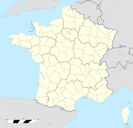
Location of Sainte-Colombe  | |
  Sainte-Colombe 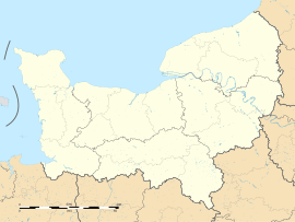 Sainte-Colombe | |
| Coordinates: 49°48′03″N 0°45′37″E | |
| Country | France |
| Region | Normandy |
| Department | Seine-Maritime |
| Arrondissement | Dieppe |
| Canton | Saint-Valery-en-Caux |
| Intercommunality | CC Côte d'Albâtre |
| Government | |
| • Mayor (2020–2026) | Jean-François Burel[1] |
| Area 1 | 5.74 km2 (2.22 sq mi) |
| Population | 222 |
| • Density | 39/km2 (100/sq mi) |
| Time zone | UTC+01:00 (CET) |
| • Summer (DST) | UTC+02:00 (CEST) |
| INSEE/Postal code | 76569 /76460 |
| Elevation | 77–114 m (253–374 ft) (avg. 103 m or 338 ft) |
| 1 French Land Register data, which excludes lakes, ponds, glaciers > 1 km2 (0.386 sq mi or 247 acres) and river estuaries. | |
Geography
A small farming village situated in the Pays de Caux, some 17 miles (27 km) southwest of Dieppe at the junction of the D20 and the D75 roads.
Population
| Year | Pop. | ±% p.a. |
|---|---|---|
| 1968 | 248 | — |
| 1975 | 231 | −1.01% |
| 1982 | 231 | +0.00% |
| 1990 | 177 | −3.27% |
| 1999 | 194 | +1.02% |
| 2007 | 202 | +0.51% |
| 2012 | 198 | −0.40% |
| 2017 | 215 | +1.66% |
| Source: INSEE[3] | ||
Places of interest
- The church of St. Colombe, dating from the sixteenth century.
See also
References
- Liste des maires du département de la Seine-Maritime, 10 August 2020
- "Populations légales 2019". The National Institute of Statistics and Economic Studies. 29 December 2021.
- Population en historique depuis 1968, INSEE

Wikimedia Commons has media related to Sainte-Colombe (Seine-Maritime).


На других языках
[de] Sainte-Colombe (Seine-Maritime)
Sainte-Colombe ist eine französische Gemeinde mit 222 Einwohnern (Stand: 1. Januar 2019) im Département Seine-Maritime in der Region Normandie. Sie gehört zum Arrondissement Dieppe, zum Kanton Saint-Valery-en-Caux und ist Teil des Kommunalverbands Côte d’Albâtre.- [en] Sainte-Colombe, Seine-Maritime
[es] Sainte-Colombe (Sena Marítimo)
Sainte-Colombe es una población y comuna francesa, en la región de Alta Normandía, departamento de Sena Marítimo, en el distrito de Dieppe y cantón de Saint-Valery-en-Caux.Текст в блоке "Читать" взят с сайта "Википедия" и доступен по лицензии Creative Commons Attribution-ShareAlike; в отдельных случаях могут действовать дополнительные условия.
Другой контент может иметь иную лицензию. Перед использованием материалов сайта WikiSort.org внимательно изучите правила лицензирования конкретных элементов наполнения сайта.
Другой контент может иметь иную лицензию. Перед использованием материалов сайта WikiSort.org внимательно изучите правила лицензирования конкретных элементов наполнения сайта.
2019-2026
WikiSort.org - проект по пересортировке и дополнению контента Википедии
WikiSort.org - проект по пересортировке и дополнению контента Википедии