world.wikisort.org - France
Fontaine-le-Mallet (French pronunciation: [fɔ̃tɛn la malɛ]) is a commune in the Seine-Maritime department in the Normandy region in northern France.
Fontaine-la-Mallet | |
|---|---|
Commune | |
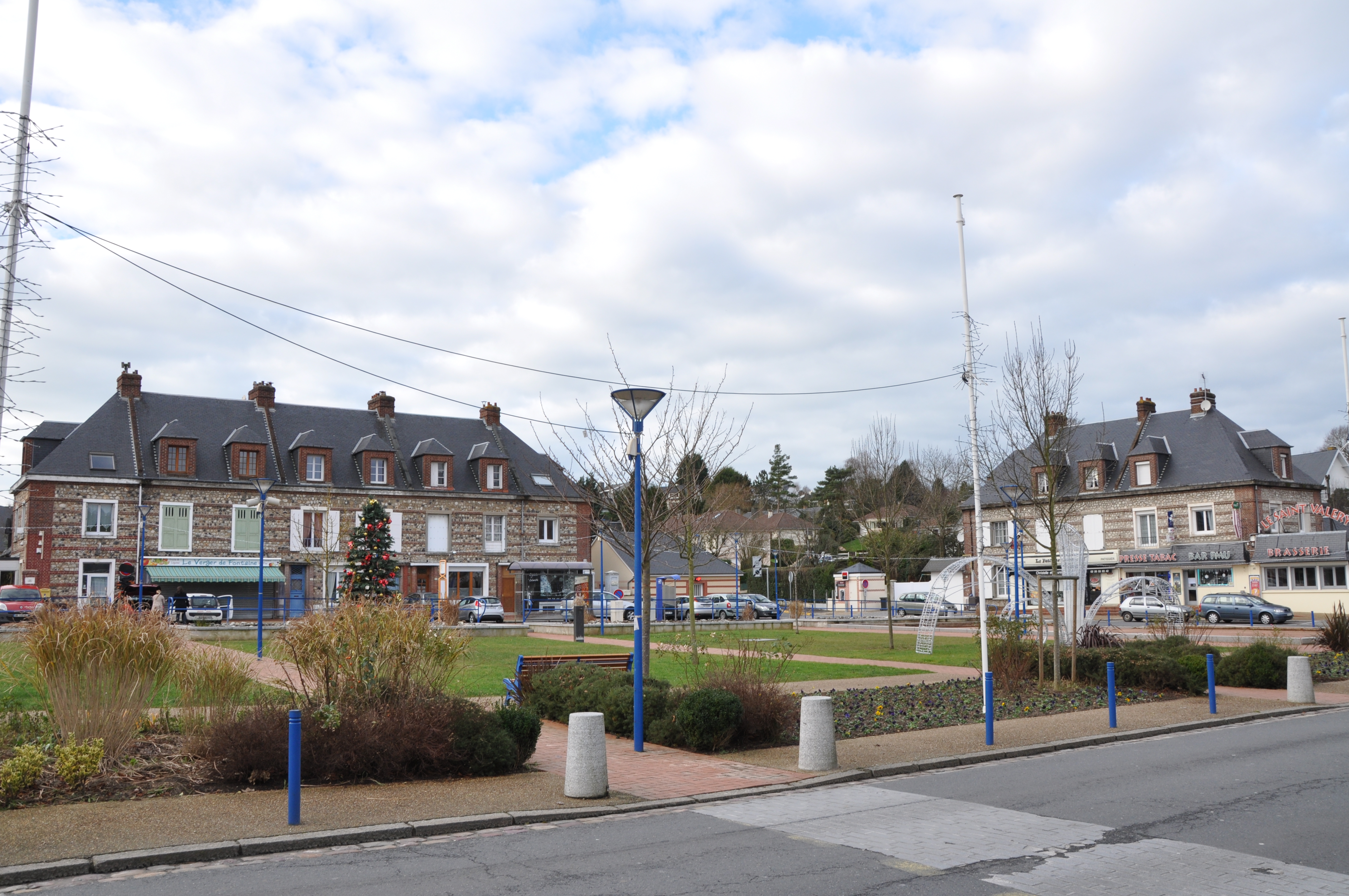 Village square | |
 Coat of arms | |
Location of Fontaine-la-Mallet  | |
 Fontaine-la-Mallet  Fontaine-la-Mallet | |
| Coordinates: 49°32′14″N 0°08′44″E | |
| Country | France |
| Region | Normandy |
| Department | Seine-Maritime |
| Arrondissement | Le Havre |
| Canton | Octeville-sur-Mer |
| Intercommunality | Le Havre Seine Métropole |
| Government | |
| • Mayor (2020–2026) | Jean-Louis Maurice |
| Area 1 | 6.68 km2 (2.58 sq mi) |
| Population | 2,633 |
| • Density | 390/km2 (1,000/sq mi) |
| Time zone | UTC+01:00 (CET) |
| • Summer (DST) | UTC+02:00 (CEST) |
| INSEE/Postal code | 76270 /76290 |
| Elevation | 17–89 m (56–292 ft) (avg. 27 m or 89 ft) |
| 1 French Land Register data, which excludes lakes, ponds, glaciers > 1 km2 (0.386 sq mi or 247 acres) and river estuaries. | |
History
The first mention of the village dates from the eleventh century, when an abbess from Montivilliers bought 100 acres (0.40 km2) of land in order to build a church here "in villa dicitur Fontenais ad opus ecclesiae Sancta Mariae". In a register of the Secretariat of the Archdiocese of Rouen, dating from 1479 to 1480, it mentions "Parochia Fontibus le Mallet" - Mallet coming from the name of the first seigneurs - the Malet de Graville family (c. 1200–1300). Fontaine-la-Mallet grew over the centuries and was all but destroyed by bombing in September 1944. It was the most badly affected village of the lower Seine. Rebuilding of the commune was started in the 1960s.
Heraldry
 |
The arms of Fontaine-la-Mallet are blazoned : Per bend Or and gules, on a bend wavy azure between 3 buckles gules and 2 leopards, at the base of the bend, stalks of wheat Or.
|
Geography
A village of farming and forestry situated in the Pays de Caux, some 5 miles (8.0 km) north of Le Havre, near the junction of the D52 and the N328 roads.
Population
| Year | Pop. | ±% p.a. |
|---|---|---|
| 1968 | 922 | — |
| 1975 | 1,503 | +7.23% |
| 1982 | 2,446 | +7.20% |
| 1990 | 2,482 | +0.18% |
| 1999 | 2,544 | +0.27% |
| 2007 | 2,712 | +0.80% |
| 2012 | 2,660 | −0.39% |
| 2017 | 2,626 | −0.26% |
| Source: INSEE[2] | ||
See also
References
- "Populations légales 2019". The National Institute of Statistics and Economic Studies. 29 December 2021.
- Population en historique depuis 1968, INSEE
External links
Authority control | |
|---|---|
| General |
|
| National libraries | |
На других языках
[de] Fontaine-la-Mallet
Vorlage:Infobox Gemeinde in Frankreich/Wartung/abweichendes Wappen in Wikidata- [en] Fontaine-la-Mallet
Другой контент может иметь иную лицензию. Перед использованием материалов сайта WikiSort.org внимательно изучите правила лицензирования конкретных элементов наполнения сайта.
WikiSort.org - проект по пересортировке и дополнению контента Википедии