world.wikisort.org - France
Manéhouville (French pronunciation: [maneuvil]) is a commune in the Seine-Maritime department in the Normandy region in northern France.
Manéhouville | |
|---|---|
Commune | |
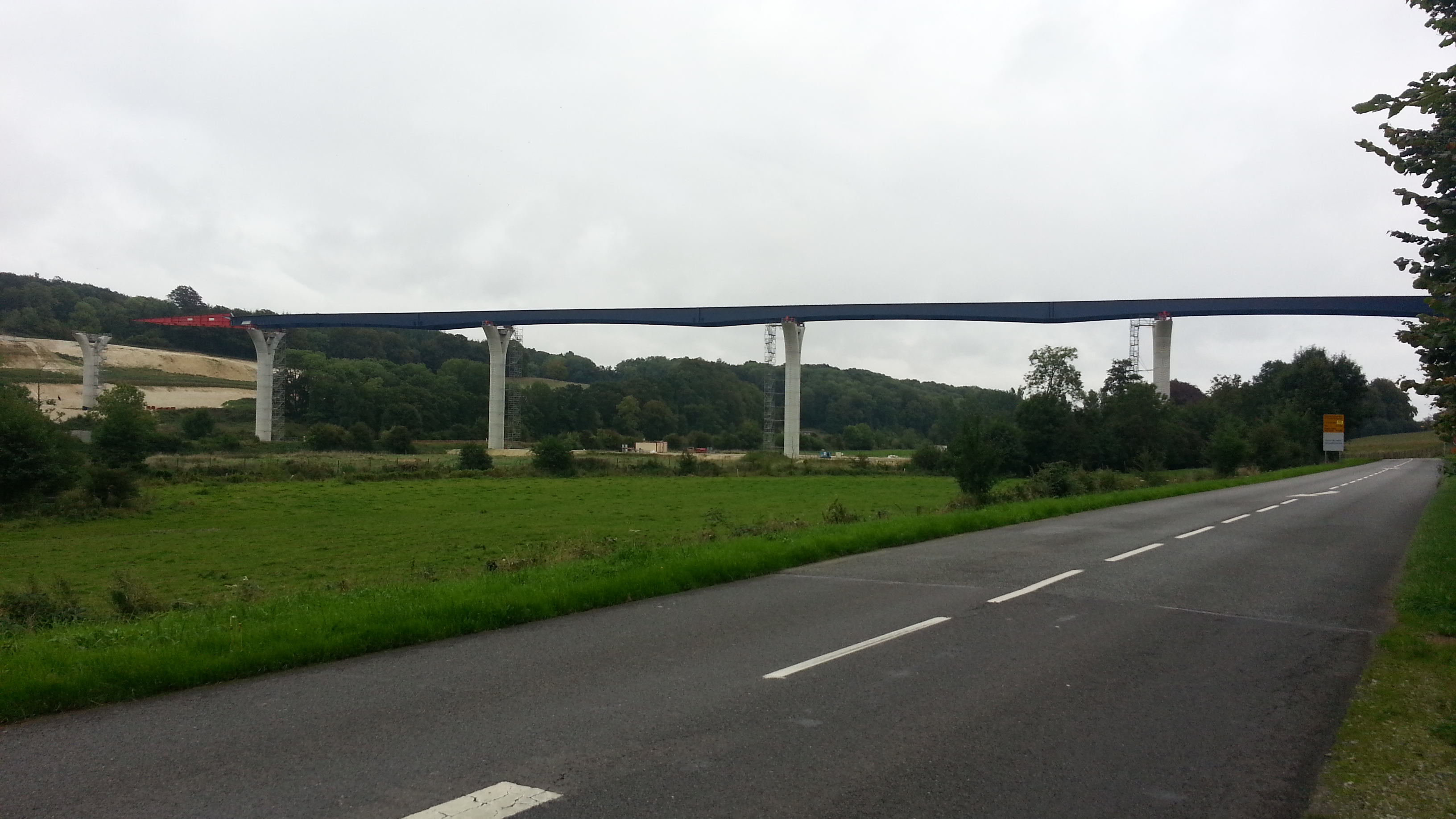 La Scie viaduct | |
 Coat of arms | |
Location of Manéhouville  | |
 Manéhouville  Manéhouville | |
| Coordinates: 49°50′09″N 1°04′53″E | |
| Country | France |
| Region | Normandy |
| Department | Seine-Maritime |
| Arrondissement | Dieppe |
| Canton | Luneray |
| Intercommunality | CC Terroir de Caux |
| Government | |
| • Mayor (2020–2026) | Sébastien Duramé[1] |
| Area 1 | 4.28 km2 (1.65 sq mi) |
| Population | 224 |
| • Density | 52/km2 (140/sq mi) |
| Time zone | UTC+01:00 (CET) |
| • Summer (DST) | UTC+02:00 (CEST) |
| INSEE/Postal code | 76405 /76590 |
| Elevation | 29–107 m (95–351 ft) (avg. 38 m or 125 ft) |
| 1 French Land Register data, which excludes lakes, ponds, glaciers > 1 km2 (0.386 sq mi or 247 acres) and river estuaries. | |
Geography
A small farming village situated by the banks of the river Scie in the Pays de Caux, some 6 miles (9.7 km) south of Dieppe at the junction of the D927, the D23 and the D3 roads.
Population
| Year | Pop. | ±% p.a. |
|---|---|---|
| 1968 | 141 | — |
| 1975 | 171 | +2.79% |
| 1982 | 206 | +2.70% |
| 1990 | 218 | +0.71% |
| 1999 | 183 | −1.93% |
| 2007 | 205 | +1.43% |
| 2012 | 215 | +0.96% |
| 2017 | 226 | +1.00% |
| Source: INSEE[3] | ||
Places of interest
- The church of Notre-Dame, dating from the sixteenth century.
- Vestiges of the 17th-century château de Charles-Mesnil.
See also
References
- "Répertoire national des élus: les maires". data.gouv.fr, Plateforme ouverte des données publiques françaises (in French). 2 December 2020.
- "Populations légales 2019". The National Institute of Statistics and Economic Studies. 29 December 2021.
- Population en historique depuis 1968, INSEE
Wikimedia Commons has media related to Manéhouville.
На других языках
[de] Manéhouville
Vorlage:Infobox Gemeinde in Frankreich/Wartung/abweichendes Wappen in Wikidata- [en] Manéhouville
Текст в блоке "Читать" взят с сайта "Википедия" и доступен по лицензии Creative Commons Attribution-ShareAlike; в отдельных случаях могут действовать дополнительные условия.
Другой контент может иметь иную лицензию. Перед использованием материалов сайта WikiSort.org внимательно изучите правила лицензирования конкретных элементов наполнения сайта.
Другой контент может иметь иную лицензию. Перед использованием материалов сайта WikiSort.org внимательно изучите правила лицензирования конкретных элементов наполнения сайта.
2019-2026
WikiSort.org - проект по пересортировке и дополнению контента Википедии
WikiSort.org - проект по пересортировке и дополнению контента Википедии