world.wikisort.org - Germany
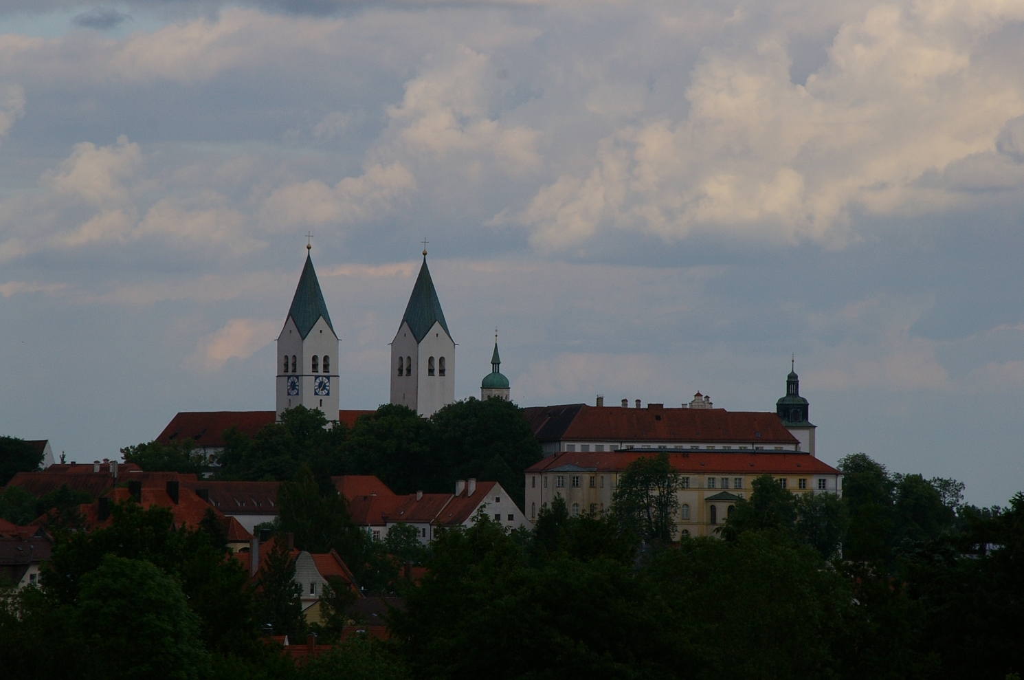
Freising is a Landkreis (district) in Bavaria, Germany. Following a recent ranking of the German magazine Focus-Money comparing all German districts it is number one concerning economic growth abilities. It is bounded by (from the north and clockwise) the districts of Kelheim, Landshut, Erding, Munich, Dachau and Pfaffenhofen. The district is located north of the Munich metropolitan area. The Isar and Amper rivers run in parallel from southwest to northeast. North of the rivers there is the Hallertau, a hilly region mainly used for hop growing.
Freising | |
|---|---|
District | |
 Flag  Coat of arms | |
 | |
| Country | Germany |
| State | Bavaria |
| Adm. region | Upper Bavaria |
| Capital | Freising |
| Area | |
| • Total | 800 km2 (300 sq mi) |
| Population (31 December 2020)[1] | |
| • Total | 180,313 |
| • Density | 230/km2 (580/sq mi) |
| Time zone | UTC+01:00 (CET) |
| • Summer (DST) | UTC+02:00 (CEST) |
| Vehicle registration | FS |
| Website | lra-freising.bayern.de |


History
In the Holy Roman Empire, Freising was a clerical state ruled by the bishops. In 1803, when the clerical states of Germany were dissolved, the region was annexed by Bavaria.
Coat of arms
The coat of arms displays:
- the blue and white checked pattern of Bavaria
- the rose from the arms of the medieval county of Moosburg
- The "Freising Moor's head"
The Freising Moor's head
This is a controversial charge in the Coat of Arms, which could represent one of many different persons:
- One of the three Magi (one of them is shown as a moor)
- Saints who were, or probably were, moors
- St. Mauritius
- St. Zeno
- St. Sigismund (mixed up with St. Mauritius)
Or just that a black Moor King.
- St. Corbinian, who was not a moor, but whose pictures might have become darker over time.
- Other person or meaning lost in time
It is important to note the crown on the moor's head, which probably indicated that the territory of the Bishop of Freising was autonomous.
Towns and municipalities

| Towns | Municipalities | |
|---|---|---|
|
References
- "Tabellenblatt "Daten 2", Statistischer Bericht A1200C 202041 Einwohnerzahlen der Gemeinden, Kreise und Regierungsbezirke". Bayerisches Landesamt für Statistik (in German). June 2021.
External links
 Media related to Landkreis Freising at Wikimedia Commons
- Official website (German)
- Freising County Flag
Towns and municipalities in Freising (district) | ||
|---|---|---|
 | ||
На других языках
[de] Landkreis Freising
Der Landkreis Freising liegt im Nordosten des bayerischen Regierungsbezirks Oberbayern und gehört zur Region München. Die Nähe zur bayerischen Landeshauptstadt München wie auch die sehr gute Verkehrsinfrastruktur (mit dem auf dem Landkreisgebiet gelegenen Flughafen München und der sehr guten Nahverkehrsanbindung an München als Teil des Münchener Verkehrsverbundes) machen den Landkreis Freising zu einem der begehrtesten und wachstumsstärksten Wirtschafts- und Wohnstandorte in Deutschland. Im aktuellen Wirtschaftskraft-Ranking der Zeitschrift Focus belegt er Platz 3 unter allen deutschen Landkreisen, nach den Nachbarlandkreisen München und Pfaffenhofen.[2]- [en] Freising (district)
[ru] Фрайзинг (район)
Фрайзинг (нем. Freising) — район в Германии. Центр района — город Фрайзинг. Район входит в землю Бавария. Подчинён административному округу Верхняя Бавария. Занимает площадь 801,76 км². Население — 161 192 чел. Плотность населения — 200 человек/км². Официальный код района — 09 1 78.Другой контент может иметь иную лицензию. Перед использованием материалов сайта WikiSort.org внимательно изучите правила лицензирования конкретных элементов наполнения сайта.
WikiSort.org - проект по пересортировке и дополнению контента Википедии