world.wikisort.org - France
Villers-sur-Authie is a commune in the Somme department in Hauts-de-France in northern France.
Villers-sur-Authie | |
|---|---|
Commune | |
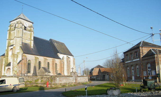 The church and town hall in Villers-sur-Authie | |
 Coat of arms | |
Location of Villers-sur-Authie  | |
 Villers-sur-Authie  Villers-sur-Authie | |
| Coordinates: 50°19′03″N 1°41′39″E | |
| Country | France |
| Region | Hauts-de-France |
| Department | Somme |
| Arrondissement | Abbeville |
| Canton | Rue |
| Intercommunality | CC Ponthieu-Marquenterre |
| Government | |
| • Mayor (2020–2026) | Michel Riquet |
| Area 1 | 12.01 km2 (4.64 sq mi) |
| Population | 471 |
| • Density | 39/km2 (100/sq mi) |
| Time zone | UTC+01:00 (CET) |
| • Summer (DST) | UTC+02:00 (CEST) |
| INSEE/Postal code | 80806 /80120 |
| Elevation | 2–33 m (6.6–108.3 ft) (avg. 5 m or 16 ft) |
| 1 French Land Register data, which excludes lakes, ponds, glaciers > 1 km2 (0.386 sq mi or 247 acres) and river estuaries. | |
Geography
The commune is situated 28 km (17 miles) north of Abbeville, on the D85 road.
Population
| Year | Pop. | ±% p.a. |
|---|---|---|
| 1968 | 420 | — |
| 1975 | 365 | −1.99% |
| 1982 | 379 | +0.54% |
| 1990 | 354 | −0.85% |
| 1999 | 362 | +0.25% |
| 2007 | 375 | +0.44% |
| 2012 | 433 | +2.92% |
| 2017 | 474 | +1.83% |
| Source: INSEE[2] | ||
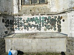
Gallery
- Our Lady Church


See also
References
- "Populations légales 2019". The National Institute of Statistics and Economic Studies. 29 December 2021.
- Population en historique depuis 1968, INSEE
Wikimedia Commons has media related to Villers-sur-Authie.
Authority control | |
|---|---|
| General |
|
| National libraries | |
| Other |
|
На других языках
[de] Villers-sur-Authie
Villers-sur-Authie (picardisch: Vilèr-su-Eutie) ist eine nordfranzösische Gemeinde mit 471 Einwohnern (Stand 1. Januar 2019) im Département Somme in der Region Hauts-de-France. Die Gemeinde liegt im Arrondissement Abbeville und ist Teil der Communauté de communes Ponthieu-Marquenterre und des Kantons Rue.- [en] Villers-sur-Authie
[es] Villers-sur-Authie
Villers-sur-Authie es una población y comuna francesa, en la región de Picardía, departamento de Somme, en el distrito de Abbeville y cantón de Rue.Текст в блоке "Читать" взят с сайта "Википедия" и доступен по лицензии Creative Commons Attribution-ShareAlike; в отдельных случаях могут действовать дополнительные условия.
Другой контент может иметь иную лицензию. Перед использованием материалов сайта WikiSort.org внимательно изучите правила лицензирования конкретных элементов наполнения сайта.
Другой контент может иметь иную лицензию. Перед использованием материалов сайта WikiSort.org внимательно изучите правила лицензирования конкретных элементов наполнения сайта.
2019-2026
WikiSort.org - проект по пересортировке и дополнению контента Википедии
WikiSort.org - проект по пересортировке и дополнению контента Википедии