world.wikisort.org - France
Offignies (French pronunciation: [ɔfiɲi]) is a commune in the Somme department in Hauts-de-France in northern France.
Offignies | |
|---|---|
Commune | |
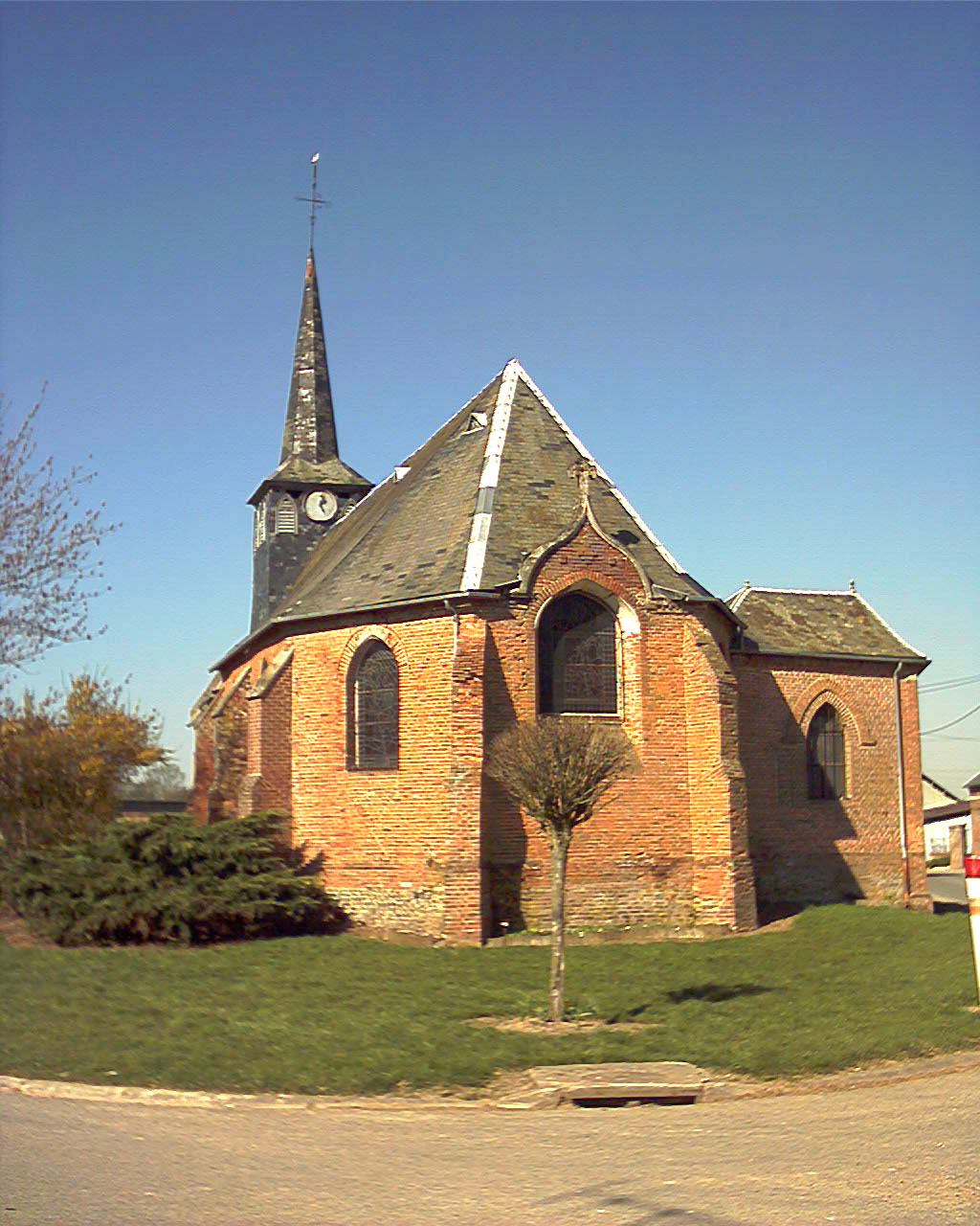 The church in Offignies | |
 Coat of arms | |
Location of Offignies  | |
 Offignies  Offignies | |
| Coordinates: 49°47′58″N 1°51′09″E | |
| Country | France |
| Region | Hauts-de-France |
| Department | Somme |
| Arrondissement | Amiens |
| Canton | Poix-de-Picardie |
| Intercommunality | CC Somme Sud-Ouest |
| Government | |
| • Mayor (2020–2026) | Michèle Herduin[1] |
| Area 1 | 4.47 km2 (1.73 sq mi) |
| Population | 80 |
| • Density | 18/km2 (46/sq mi) |
| Time zone | UTC+01:00 (CET) |
| • Summer (DST) | UTC+02:00 (CEST) |
| INSEE/Postal code | 80604 /80290 |
| Elevation | 177–206 m (581–676 ft) (avg. 202 m or 663 ft) |
| 1 French Land Register data, which excludes lakes, ponds, glaciers > 1 km2 (0.386 sq mi or 247 acres) and river estuaries. | |
Geography
Offignies is situated on the D92 road, some 22 miles (35 km) southwest of Amiens.
Population
| Year | Pop. | ±% p.a. |
|---|---|---|
| 1968 | 97 | — |
| 1975 | 95 | −0.30% |
| 1982 | 75 | −3.32% |
| 1990 | 81 | +0.97% |
| 1999 | 70 | −1.61% |
| 2007 | 66 | −0.73% |
| 2012 | 67 | +0.30% |
| 2017 | 74 | +2.01% |
| Source: INSEE[3] | ||
History
In 1972. Offignies absorbed the neighbouring commune of Orival. The church at Orival was destroyed during the Second World War, in 1940 and rebuilt in 1954 At Orival, traces of an 18th-century château and outbuildings may be seen. There are also outlines of Gallo-Roman farms and an old windmill.
See also
References
- "Répertoire national des élus: les maires". data.gouv.fr, Plateforme ouverte des données publiques françaises (in French). 2 December 2020.
- "Populations légales 2019". The National Institute of Statistics and Economic Studies. 29 December 2021.
- Population en historique depuis 1968, INSEE
Wikimedia Commons has media related to Offignies.
На других языках
[de] Offignies
Offignies (picardisch: Offignie) ist eine nordfranzösische Gemeinde mit 80 Einwohnern (Stand 1. Januar 2019) im Département Somme in der Region Hauts-de-France. Die Gemeinde liegt im Arrondissement Amiens, ist Teil der Communauté de communes Somme Sud-Ouest und gehört zum Kanton Poix-de-Picardie.- [en] Offignies
Текст в блоке "Читать" взят с сайта "Википедия" и доступен по лицензии Creative Commons Attribution-ShareAlike; в отдельных случаях могут действовать дополнительные условия.
Другой контент может иметь иную лицензию. Перед использованием материалов сайта WikiSort.org внимательно изучите правила лицензирования конкретных элементов наполнения сайта.
Другой контент может иметь иную лицензию. Перед использованием материалов сайта WikiSort.org внимательно изучите правила лицензирования конкретных элементов наполнения сайта.
2019-2026
WikiSort.org - проект по пересортировке и дополнению контента Википедии
WikiSort.org - проект по пересортировке и дополнению контента Википедии