world.wikisort.org - France
Braches (French pronunciation: [bʁaʃ]) is a commune in the Somme department in Hauts-de-France in northern France.
Braches | |
|---|---|
Commune | |
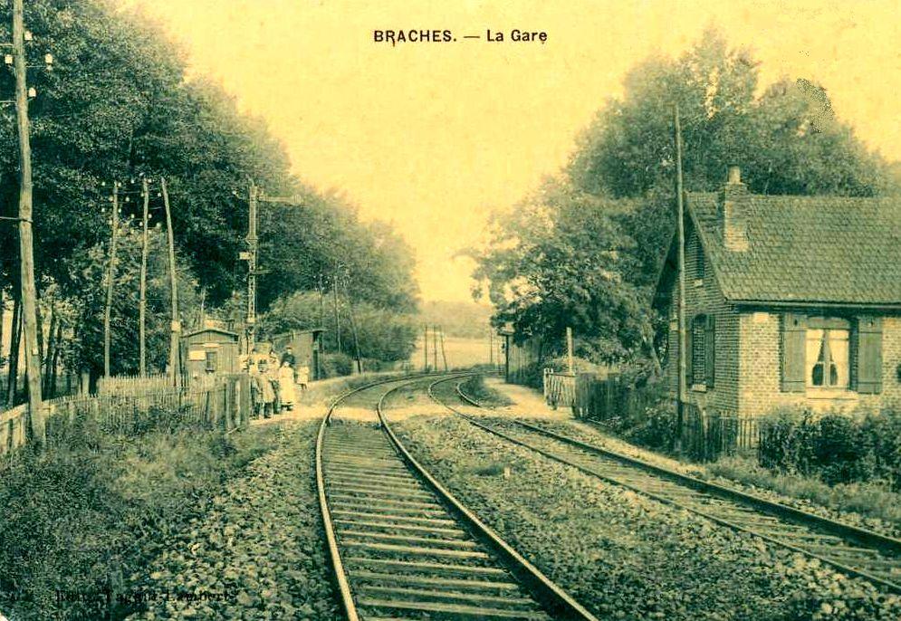 Braches railway station in the early 20th century | |
Location of Braches  | |
 Braches  Braches | |
| Coordinates: 49°44′01″N 2°30′26″E | |
| Country | France |
| Region | Hauts-de-France |
| Department | Somme |
| Arrondissement | Montdidier |
| Canton | Moreuil |
| Intercommunality | CC Avre Luce Noye |
| Government | |
| • Mayor (2020–2026) | Stéphane Delanaud[1] |
| Area 1 | 7.21 km2 (2.78 sq mi) |
| Population | 232 |
| • Density | 32/km2 (83/sq mi) |
| Time zone | UTC+01:00 (CET) |
| • Summer (DST) | UTC+02:00 (CEST) |
| INSEE/Postal code | 80132 /80110 |
| Elevation | 37–112 m (121–367 ft) (avg. 52 m or 171 ft) |
| 1 French Land Register data, which excludes lakes, ponds, glaciers > 1 km2 (0.386 sq mi or 247 acres) and river estuaries. | |
Geography
Braches is situated on the D256 road, some 15 miles (24 km) southeast of Amiens, on the banks of the Avre river.
Population
| Year | Pop. | ±% p.a. |
|---|---|---|
| 1968 | 127 | — |
| 1975 | 108 | −2.29% |
| 1982 | 155 | +5.30% |
| 1990 | 185 | +2.24% |
| 1999 | 201 | +0.93% |
| 2007 | 223 | +1.31% |
| 2012 | 218 | −0.45% |
| 2017 | 263 | +3.82% |
| Source: INSEE[3] | ||
See also
References
- "Répertoire national des élus: les maires". data.gouv.fr, Plateforme ouverte des données publiques françaises (in French). 2 December 2020.
- "Populations légales 2019". The National Institute of Statistics and Economic Studies. 29 December 2021.
- Population en historique depuis 1968, INSEE
Wikimedia Commons has media related to Braches.
На других языках
[de] Braches
Braches (picardisch: Brache) ist eine nordfranzösische Gemeinde mit 232 Einwohnern (Stand 1. Januar 2019) im Département Somme in der Region Hauts-de-France. Die Gemeinde liegt im Arrondissement Montdidier, ist Teil der Communauté de communes Avre Luce Noye und gehört zum Kanton Moreuil.- [en] Braches
Текст в блоке "Читать" взят с сайта "Википедия" и доступен по лицензии Creative Commons Attribution-ShareAlike; в отдельных случаях могут действовать дополнительные условия.
Другой контент может иметь иную лицензию. Перед использованием материалов сайта WikiSort.org внимательно изучите правила лицензирования конкретных элементов наполнения сайта.
Другой контент может иметь иную лицензию. Перед использованием материалов сайта WikiSort.org внимательно изучите правила лицензирования конкретных элементов наполнения сайта.
2019-2026
WikiSort.org - проект по пересортировке и дополнению контента Википедии
WikiSort.org - проект по пересортировке и дополнению контента Википедии