world.wikisort.org - France
Montdidier (French pronunciation: [mɔ̃didje]; Picard: Montdidji or Mondidji) is a commune in the Somme department in the administrative region of Hauts-de-France (historically Picardy), northern France.
Montdidier | |
|---|---|
Subprefecture and commune | |
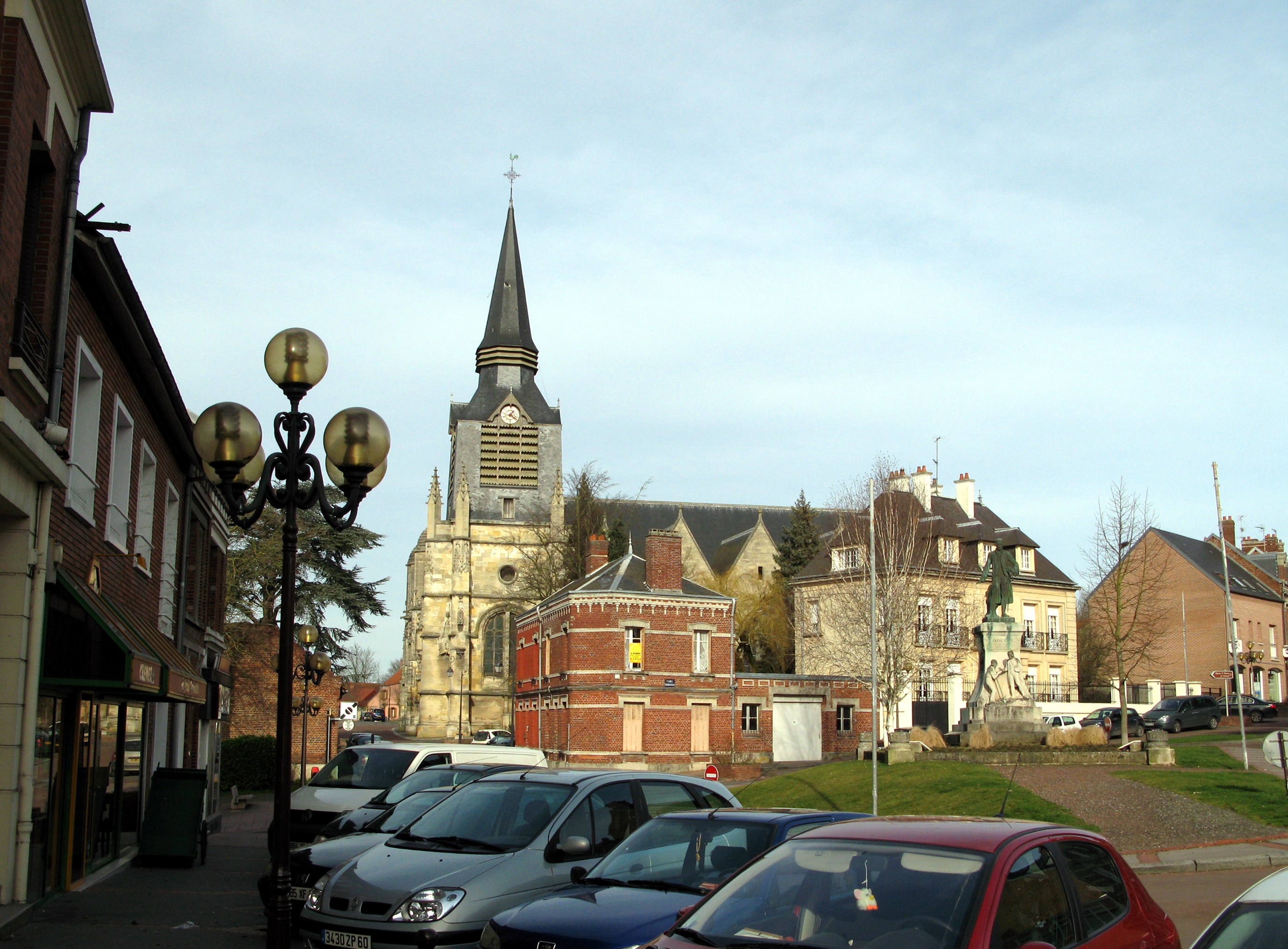 The church in Montdidier | |
 Coat of arms | |
Location of Montdidier  | |
 Montdidier  Montdidier | |
| Coordinates: 49°38′55″N 2°34′15″E | |
| Country | France |
| Region | Hauts-de-France |
| Department | Somme |
| Arrondissement | Montdidier |
| Canton | Roye |
| Intercommunality | CC Grand Roye |
| Government | |
| • Mayor (2020–2026) | Catherine Quignon[1] |
| Area 1 | 12.58 km2 (4.86 sq mi) |
| Population | 6,113 |
| • Density | 490/km2 (1,300/sq mi) |
| Time zone | UTC+01:00 (CET) |
| • Summer (DST) | UTC+02:00 (CEST) |
| INSEE/Postal code | 80561 /80500 |
| Elevation | 55–113 m (180–371 ft) (avg. 97 m or 318 ft) |
| 1 French Land Register data, which excludes lakes, ponds, glaciers > 1 km2 (0.386 sq mi or 247 acres) and river estuaries. | |
Geography
Montdidier is on the D935 road, some 30 km southeast of Amiens, in the region known as the 'Santerre'. Montdidier station has rail connections to Amiens and Compiègne.
Population
|
| ||||||||||||||||||||||||||||||||||||||||||||||||||||||||||||
| Source: EHESS[3] and INSEE[4] | |||||||||||||||||||||||||||||||||||||||||||||||||||||||||||||

History

The commune has existed since before Roman times, possibly corresponding to the site of Bratuspance.[5]
Under Charlemagne, a donjon was built in the north-west of the town, on a chalk promontory, (nowadays the site of the Prieuré). It was here, in 774, that Desiderius, king of the Lombards, was held prisoner by Charlemagne, giving the town its name (in French, Didier).
Around the year 948, the first church was built near the castle by Heldwide, the wife of Hilduin, first of the house of the Counts of Montdidier[6]

In 1184, King Philip II of France had the outlying buildings of the town burnt down,[7] during the war for the possession of the Amiénois and the Vermandois. In 1195, the town was granted its communal charter.
In 1472, Montdidier was set alight by the Burgundians. Charles the Bold is reported to have said "Such are the fruits of war".[8]
Under the Ancien Régime, Montdidier was in the province of the Santerre (one of eight provinces of Picardy) and the seat of a bailiwick (established in 1516)[9][10]
By edict of 1575, Henry III of France created the élection of Montdidier, granting tax-raising powers to elected representatives.
The year 1590 saw the commune threatened and eventually invaded by the troops of Henry IV of France.
As with many towns of the region, Montdidier bore the brunt of the fighting of World War I. Many of the town's more ancient and valuable monuments were destroyed in that occasion.
Main sights
- Church of Saint-Sépulcre in flamboyant gothic, with six 17th century Reydams tapestries on show in the nave
- Church of St Peter (flamboyant gothic)
- Ruins of Saint-Martin's church
- Statue of Antoine-Augustin Parmentier on Parmentier Place
- The town hall, in the Flemish style and decorated in Art Deco style
- The priory (once known as the Salle du Roy). Rebuilt in 1930, after being damaged during World War I. It has functioned as the Palais de Justice and became the Centre des Impôts in 1965.[11]
- The war memorial
- Monument to the 212 French pilots who lost their lives in Picardy in May and June 1940
Personalities
- Fredegund (c.545–597), Queen of Neustria
- Felicia of Roucy (c.1060–1123), Queen of Aragon
- Gilles de Roye (died 1478), Cistercian monk
- Jean Fernel (1497–1558), physician
- Claude Capperonnier (1671–1744), philosopher
- Jean Capperonnier (1716–1775), philosopher and librarian
- Antoine-Augustin Parmentier (1737–1813), agriculturist
- Jean-Jacques-Antoine Caussin de Perceval (1759–1835), linguist
- Cléon Galoppe d'Onquaire (1805–1867), writer and playwright
- Louis-Lucien Klotz (1868–1930), journalist and politician
- Maurice Blanchard (1890–1960), aeronautic engineer and poet
- Jimmy Casper (born 1978), cyclist
See also
References
- "Répertoire national des élus: les maires". data.gouv.fr, Plateforme ouverte des données publiques françaises (in French). 9 August 2021.
- "Populations légales 2019". The National Institute of Statistics and Economic Studies. 29 December 2021.
- Des villages de Cassini aux communes d'aujourd'hui: Commune data sheet Montdidier, EHESS. (in French)
- Population en historique depuis 1968, INSEE
- Pages 68 et 118 : La Somme, éd. du Bastion, 160 p
- Histoire des Cathédrales, Abbayes, Châteaux-forts et Villes de la Picardie et de l'Artois, Paul Roger, éd. Duval et Herment, Amiens, 1842, p. 337, ISBN 2-84265-206-1
- Victor de Beauvillé, Histoire de Montdidier, 1857.
- page 199 : P. Lami, Résumé de l'histoire de la Picardie.
- page 280 : P. Lami, Résumé de l'histoire de la Picardie
- pages 282-283 : P. Lami, Résumé de l'histoire de la Picardie
- Page 9 : « Terres de Parmentier » - Guide d'accueil et de tourisme, éd. "Office de Tourisme de Montdidier, ses environs" - 28 pages (diffusé gracieusement en janvier 2008)
Bibliography
- (in French) Paul Roger, pages 259 à 266 in Tome II de « Histoire des Cathédrales, Abbayes, Châteaux-forts et Villes de la Picardie et de l'Artois », éd. Duval et Herment, Amiens, 1842 (Réimpression Editions La Découvrance, 2003), 352 p. - ISBN 2-84265-206-1
External links
- Municipal website (in French)
- (in French)
- A history of Montdidier (in French)
- Website of Hervé Grosjean (in French)
- Old postcards of Montdidier (in French)
- Tourist Office website (in French)
Authority control | |
|---|---|
| General | |
| National libraries | |
| Other |
|
На других языках
[de] Montdidier (Somme)
Montdidier ist eine französische Gemeinde mit 6113 Einwohnern (Stand 1. Januar 2019) im Département Somme in der Region Hauts-de-France. Sie ist Verwaltungssitz des Arrondissements Montdidier und gehört zum Kanton Roye. Montdidier liegt in der historischen französischen Landschaft Santerre im Tal des Flusses Trois Doms.- [en] Montdidier, Somme
[ru] Мондидье (Сомма)
Мондидье (фр. Montdidier) — коммуна на севере Франции, регион О-де-Франс, департамент Сомма, округ Мондидье, кантон Руа. Расположена в 35 км к юго-востоку от Амьена, в 18 км от автомагистрали А1 "Нор". На юго-западе коммуны находится железнодорожная станция Мондидье линии Бов-Компьень.Другой контент может иметь иную лицензию. Перед использованием материалов сайта WikiSort.org внимательно изучите правила лицензирования конкретных элементов наполнения сайта.
WikiSort.org - проект по пересортировке и дополнению контента Википедии