world.wikisort.org - USA
The Sarasota metropolitan area is a metropolitan area located in Southwest Florida. The metropolitan area is defined by the Office of Management and Budget as the North Port–Sarasota–Bradenton metropolitan statistical area as a metropolitan statistical area (MSA) consisting of Manatee County and Sarasota County.[1] The largest cities in the MSA are North Port and Sarasota (both in Sarasota County) and Bradenton (in Manatee County). At the 2020 census, the MSA had a population of 833,716.[2]
Sarasota metropolitan area | |
|---|---|
Metropolitan area | |
| North Port–Sarasota–Bradenton metropolitan area | |

| |
| Country | United States |
| State(s) | Florida |
| Core city and largest metropolitan area | Sarasota |
| Largest city | North Port |
| Other cities | |
| Area | |
| • Total | 1,295.8 sq mi (3,356 km2) |
| Population (2020) | |
| • Total | 833,716 |
| • Rank | 71st in the U.S. |
| • Density | 542.0/sq mi (209.3/km2) |
| Time zone | UTC−05:00 (EST) |
| • Summer (DST) | UTC−04:00 (EDT) |
| Telephone numbering plan | 239, 863, 941 |
The federal government defines the North Port–Sarasota combined statistical area as a combined statistical area (CSA) consisting of the combination of the North Port–Sarasota–Bradenton MSA, the Punta Gorda, Florida MSA (Charlotte County), and the Arcadia, Florida, micropolitan statistical area (DeSoto County). At the 2020 census, the CSA had a population of 1,054,539.[2]
History of the metropolitan area designations
The Sarasota standard metropolitan statistical area (SMSA) was first defined in 1973, and included only Sarasota County. The Bradenton SMSA was defined after the 1980 United States census, and included only Manatee County. The two MSAs were combined in 1993 as the Sarasota–Bradenton metropolitan statistical area. Venice was added as a principal city after the 2000 census. In 2007, the MSA was renamed the Bradenton–Sarasota–Venice MSA because Bradenton's population then exceeded that of Sarasota.[3] In 2009, the area was designated the North Port–Bradenton–Sarasota MSA after North Port qualified as a "principal city" under the metropolitan statistical area definition and was determined to be the largest of the area's three principal cities.[4] As of 2013, the MSA was renamed to its current name: North Port–Sarasota–Bradenton metropolitan statistical area.[5]
The North Port–Sarasota–Bradenton MSA is a component of the larger North Port–Sarasota combined statistical area (CSA), which also includes the Punta Gorda, Florida MSA, and the Arcadia, Florida, micropolitan statistical area (μSA).[5]
Demographics
| Historical population | |||
|---|---|---|---|
| Census | Pop. | %± | |
| 1960 | 146,063 | — | |
| 1970 | 217,528 | 48.9% | |
| 1980 | 350,693 | 61.2% | |
| 1990 | 489,483 | 39.6% | |
| 2000 | 589,959 | 20.5% | |
| 2010 | 702,281 | 19.0% | |
| 2020 | 833,716 | 18.7% | |
| [6][7][8] | |||
Counties
| County | 2000 Population |
2010 Population |
2020 Population |
% change (2010 to 2020) |
|---|---|---|---|---|
| Sarasota County | 325,957 | 379,448 | 434,006 | +14.38% |
| Manatee County | 264,002 | 322,833 | 399,710 | +23.81% |
| Charlotte County | 141,627 | 159,978 | 186,847 | +16.80% |
| DeSoto County | 32,209 | 34,862 | 33,976 | −2.54% |
| Metropolitan statistical area[lower-alpha 1] | 702,281 | 833,716 | +18.72% | |
| Combined statistical area[lower-alpha 2] | 897,121 | 1,054,539 | +17.55% | |
- Population of Sarasota County and Manatee County combined.
- Population of Sarasota, Manatee, Charlotte, and DeSoto counties combined.


Cities
Largest cities
The following is a list of the five largest cities in the Sarasota metropolitan area as ranked by population.[9][10][11]
| Rank | City | County | 2000 Population |
2010 Population |
2020 Population |
% change (2010 to 2020) |
|---|---|---|---|---|---|---|
| 1 | North Port | Sarasota | 22,797 | 57,357 | 74,793 | +30.40% |
| 2 | Bradenton | Manatee | 49,504 | 49,546 | 55,698 | +12.42% |
| 3 | Sarasota | Sarasota | 52,715 | 51,917 | 54,842 | +5.63% |
| 4 | Venice | Sarasota | 17,764 | 20,748 | 25,463 | +22.73% |
| 5 | Palmetto | Manatee | 12,571 | 12,606 | 13,323 | +5.69% |
Other cities and towns
| Rank | City | County | 2000 Population |
2010 Population |
2020 Population |
% change (2010 to 2020) |
|---|---|---|---|---|---|---|
| 1 | Longboat Key | Sarasota Manatee | 7,603 | 6,888 | 7,505 | +8.96% |
| 2 | Holmes Beach | Manatee | 4,966 | 3,836 | 4,304 | +12.20% |
| 3 | Anna Maria | Manatee | 1,814 | 1,503 | 1,775 | +18.10% |
| 4 | Bradenton Beach | Manatee | 1,482 | 1,171 | 1,273 | +8.71% |
Census designated places
The following is a list of census-designated places (CDPs) ranked by population. CDPs in the combined statistical area are included.[12]
| Rank | CDP | County | 2010 Population |
2017 Estimated (2010 to 2017) |
|---|---|---|---|---|
| 1 | Port Charlotte | Charlotte | 54,392 | 59,654 |
| 2 | South Bradenton | Manatee | 22,178 | 24,935 |
| 3 | Bayshore Gardens | Manatee | 16,323 | 20,047 |
| 4 | Sarasota Springs | Sarasota | 14,395 | 16,386 |
| 5 | Englewood | Sarasota
Charlotte |
14,863 | 15,159 |
| 6 | South Venice | Sarasota | 13,949 | 14,535 |
| 7 | Fruitville | Sarasota | 13,224 | 13,541 |
| 8 | Gulf Gate Estates | Sarasota | 10,911 | 10,650 |
| 9 | Bee Ridge | Sarasota | 9,598 | 9,772 |
| 10 | Laurel | Sarasota | 8,171 | 9,283 |
| 11 | Rotonda West | Charlotte | 8,759 | 8,981 |
| 12 | Memphis | Manatee | 7,848 | 8,926 |
| 13 | North Sarasota | Sarasota | 6,982 | 8,728 |
| 14 | Venice Gardens | Sarasota | 7,104 | 7,904 |
| 15 | Southeast Arcadia | Desoto | 6,554 | 7,653 |
| 16 | Southgate | Sarasota | 7,173 | 7,539 |
| 17 | Osprey | Sarasota | 6,100 | 6,734 |
| 18 | Siesta Key | Sarasota | 6,565 | 5,850 |
| 19 | Warm Mineral Springs | Sarasota | 5,061 | 5,305 |
| 20 | South Sarasota | Sarasota | 4,950 | 5,265 |
| 21 | Plantation | Sarasota | 4,919 | 4,790 |
| 22 | Lake Sarasota | Sarasota | 4,679 | 4,718 |
| 23 | The Meadows | Sarasota | 3,994 | 4,383 |
| 24 | Kensington Park | Sarasota | 3,901 | 4,351 |
| 25 | Vamo | Sarasota | 4,727 | 4,345 |
| 26 | Cortez | Manatee | 4,241 | 4,332 |
| 27 | West Bradenton | Manatee | 4,192 | 4,213 |
| 28 | Samoset | Manatee | 3,854 | 3,922 |
| 29 | Ridge Wood Heights | Manatee | 4,795 | 3,878 |
| 30 | Desoto Lakes | Sarasota | 3,646 | 3,590 |
| 31 | Ellenton | Manatee | 4,275 | 3,423 |
| 32 | Harbour Heights | Charlotte | 2,987 | 3,401 |
| 33 | Nokomis | Sarasota | 3,167 | 3,376 |
| 34 | Cleveland | Charlotte | 2,990 | 3,317 |
| 35 | Whitfield | Manatee | 2,882 | 3,215 |
| 36 | Charlotte Park | Charlotte | 2,325 | 2,058 |
| 37 | Grove City | Charlotte | 1,804 | 2,042 |
| 38 | Solana | Charlotte | 742 | 706 |
| 39 | Gardner | Desoto | 463 | 228 |
Climate
The Sarasota metropolitan area, like most of Florida, is located in the humid subtropical zone (Köppen climate classification: Cfa),[13] closely bordering on a tropical climate like Southern Florida. There are hot, humid summers with frequent afternoon thunderstorms and relatively drier and mild winters.
Transportation
Roads
Freeways
 Interstate 75
 Interstate 275

U.S. highways
 U.S. Route 19
 U.S. Route 41
 U.S. Route 301
State roads
 State Road 37
 State Road 62
 State Road 64
 State Road 70
 State Road 72
 State Road 681
 State Road 684
 State Road 758
 State Road 776
 State Road 777
 State Road 780
 State Road 789
County roads
- List of county roads in Charlotte County, Florida
- List of county roads in DeSoto County, Florida
- List of county roads in Manatee County, Florida
- List of county roads in Sarasota County, Florida
Ports
- SeaPort Manatee
Airports
Public airports
Public transportation
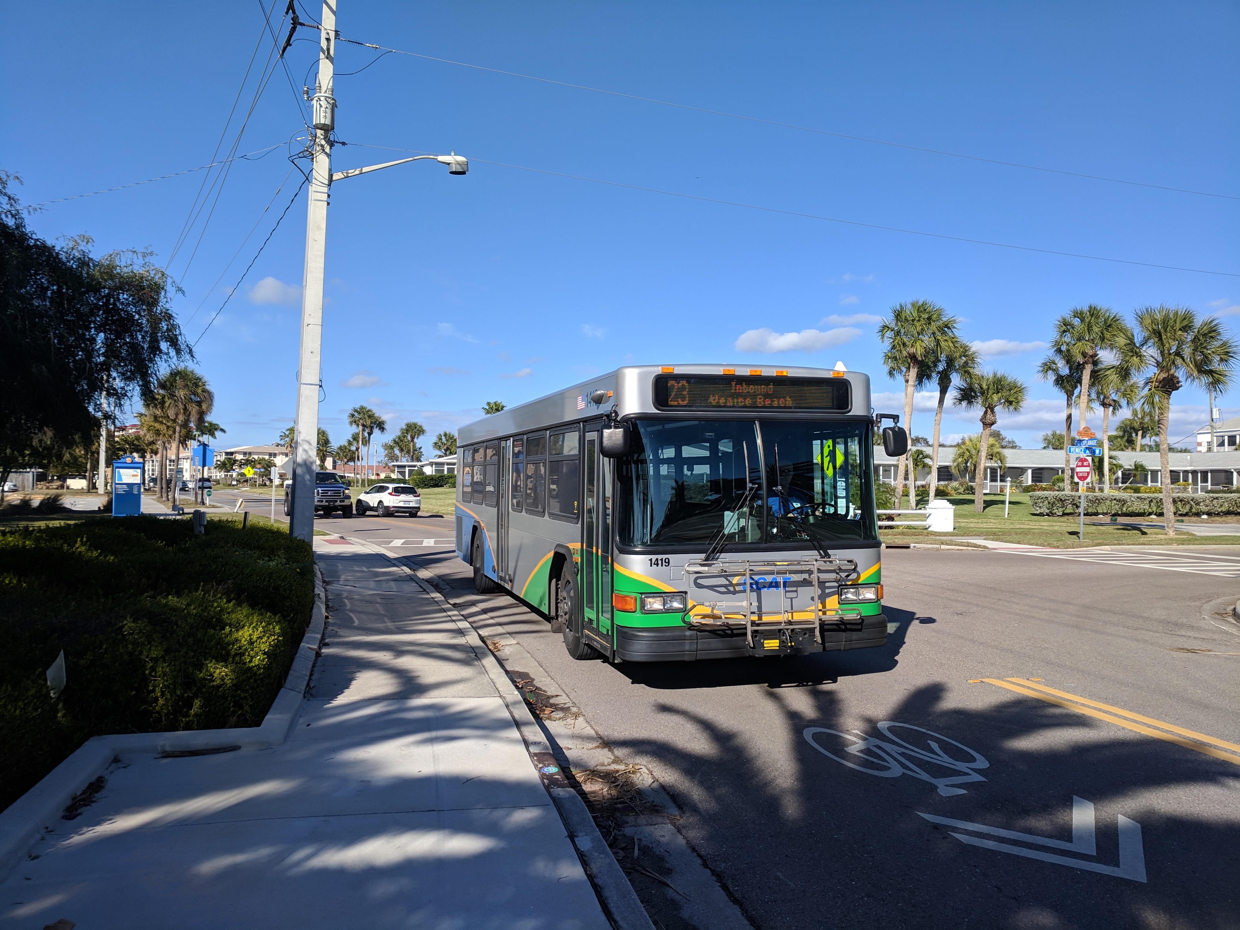
Both Sarasota and Manatee counties have their own transit networks, SCAT and MCAT, which runs bus services in the area.[14][15] Amtrak does operate a Thruway Route going through the area starting in St. Petersburg-Clearwater and ending in Fort Myers, with Sarasota and Ellenton operating as stops along the route.[16]
Media
Newspapers
- Anna Maria Island Sun[17]
- Bradenton Herald
- Business Observer, a business newspaper that is published in Sarasota, but serves several other regions of Florida.[18]
- East County Observer[19]
- Longboat Observer
- The Bradenton Times, an online newspaper.[20]
- The Islander[21]
- Sarasota Herald-Tribune
- Siesta Key Observer
- Sarasota Observer
- Tempo News[22]
- Venice Gondolier Sun[23]
Magazines
Television
- ABC 7
- WSNN (SNN)
Radio
- WBRD
- WCTQ
- WDIZ (AM)
- WHPT
- WJIS
- WKDW-LP
- WKES
- WLSS
- WRUB (FM)
- WSDV
- WSLR-LP
- WSMR (FM)
- WSRQ (AM)
- WTMY
- WWPR (AM)
Education
Public education is provided by Manatee County School District and Sarasota County Public Schools.[26][27]
Colleges and universities
The following college/university campuses exist in the metropolitan area.
- Asolo Conservatory for Actor Training
- East West College of Natural Medicine
- Everglades University
- Florida State University College of Medicine
- Keiser University
- LECOM
- Ringling College of Art and Design
- New College of Florida
- State College of Florida Sarasota-Manatee
- USF Sarasota-Manatee
Economy
The Sarasota Metropolitan Area has a gross metropolitan product of $34.3 billion as of 2018.[28]
Recreation and culture
Parks/nature reserves

Federally owned
DeSoto National Memorial
State owned
- Lake Manatee State Park
- Myakka River State Park
- Oscar Scherer State Park
- Terra Ceia Preserve

Museums
- Bishop Museum of Science and Nature
- Florida Maritime Museum
- Florida Railroad Museum
- John and Mable Ringling Museum of Art
- Palmetto Historical Park
- Sarasota Classic Car Museum
Theatres
- Florida Studio Theatre
- Sarasota Opera House
- Van Wezel Performing Arts Hall
See also
- Manatee County, Florida
- Sarasota County, Florida
- Southwest Florida
- Tampa Bay Area
References
- "OMB Bulletin No. 18-04" (PDF). Office of Management and Budget. September 14, 2018. p. 65. Retrieved December 31, 2018.
- "City and Town Population Totals: 2010-2020; Subcounty Resident Population Estimates: April 1, 2010 to July 1, 2019; April 1, 2020; and July 1, 2020 (SUB-EST2020)". U.S. Census Bureau. Retrieved August 18, 2021.
- "Update of Statistical Area Definitions and Guidance on Their Uses (OMB Bulletin 08 - 01)" (CSV). November 20, 2007. Retrieved November 19, 2008.
- "Update of Statistical Area Definitions and Guidance on Their Uses (OMB Bulletin 10-02)" (PDF). Office of Management and Budget. December 2, 2009. Archived (PDF) from the original on January 21, 2017 – via National Archives.
- "Revised Delineations of Metropolitan Statistical Areas, Micropolitan Statistical Areas, and Combined Statistical Areas, and Guidance on Uses of the Delineations of These Areas (OMB Bulletin 13-01)" (PDF). Office of Management and Budget. February 28, 2013 – via National Archives.
- "Census of Population and Housing". U.S. Census Bureau. Retrieved January 15, 2019.
- "Cumulative Estimates of Resident Population Change and Rankings for Metropolitan Statistical Areas in the United States and Puerto Rico: April 1, 2010 to July 1, 2019" (PDF). United States Census Bureau. Retrieved May 31, 2020.
- "2020 Census Population and Housing Map". United States Census Bureau. Retrieved August 17, 2021.
- "Annual Estimates of the Resident Population: April 1, 2010 to July 1, 2018". U.S. Census Bureau. May 2019. Archived from the original on February 16, 2020. Retrieved May 24, 2019.
- "City and Town Population Totals: 2010-2019". U.S. Census Bureau. May 2020. Retrieved January 4, 2021.
- "QuickFacts for North Port city, Florida; Longboat Key town, Florida; Palmetto city, Florida; Venice city, Florida; Bradenton city, Florida; Sarasota city, Florida". U.S. Census Bureau. August 2021. Retrieved August 18, 2021.
- "U.S. Census website". United States Census Bureau. U.S. Census Bureau. Retrieved March 25, 2019.
- "World Map of the Köppen-Geiger climate classification updated". University of Veterinary Medicine Vienna. November 6, 2008. Retrieved September 10, 2010.
- "SCAT Bus Service | Sarasota County, FL". scgov.net. Retrieved January 1, 2019.
- "MCAT". Archived from the original on April 2, 2017. Retrieved January 1, 2019.
- Amtrak, Travel Planning Map. "Travel Planning Map| Amtrak". Amtrak.com.
- "Front Page". Anna Maria Island Sun. Retrieved February 2, 2019.
- "Home Page". Business Observer. Retrieved February 1, 2019.
- "East County". Your Observer. November 24, 2014. Retrieved February 1, 2019.
- "Headlines The Bradenton Times News Headlines". thebradentontimes.com. Retrieved February 1, 2019.
- "Anna Maria Island News | The Anna Maria Island Islander – "The Award Winning & Best News on Anna Maria Island, FL Since 1992"". Retrieved February 2, 2019.
- "About – Tempo News". November 29, 2018. Retrieved October 14, 2019.
- Newspapers, Sun. "Venice Gondolier Sun". Sun Newspapers. Retrieved October 14, 2019.
- "Sarasota Magazine". Sarasota Magazine. Retrieved May 26, 2019.
- "About SRQ Magazine, : Sarasota's Premier Magazine - Staff Page". srqmagazine.com. Retrieved May 26, 2019.
- "School District of Manatee County / Homepage". School District of Manatee County. Retrieved October 19, 2019.
- "Sarasota County Schools / Homepage". Sarasota County Schools / Homepage. Retrieved October 19, 2019.
- "Regional Data: GDP and Personal Income". U.S. Bureau of Economic Analysis. Retrieved December 19, 2019.
External links
- Metropolitan and micropolitan statistical area definitions
State of Florida | |
|---|---|
Tallahassee (capital) | |
| Topics |
|
| History |
|
| Geography | |
| Major hurricanes |
|
| Society |
|
| Regions |
|
| Metro areas |
|
| Largest cities | |
| Counties |
|
Другой контент может иметь иную лицензию. Перед использованием материалов сайта WikiSort.org внимательно изучите правила лицензирования конкретных элементов наполнения сайта.
WikiSort.org - проект по пересортировке и дополнению контента Википедии