world.wikisort.org - France
Montcornet (French pronunciation: [mɔ̃kɔʁnɛ]) is a commune in the Aisne department in Hauts-de-France in northern France.
This article may be expanded with text translated from the corresponding article in French. (December 2008) Click [show] for important translation instructions.
|
Montcornet | |
|---|---|
Commune | |
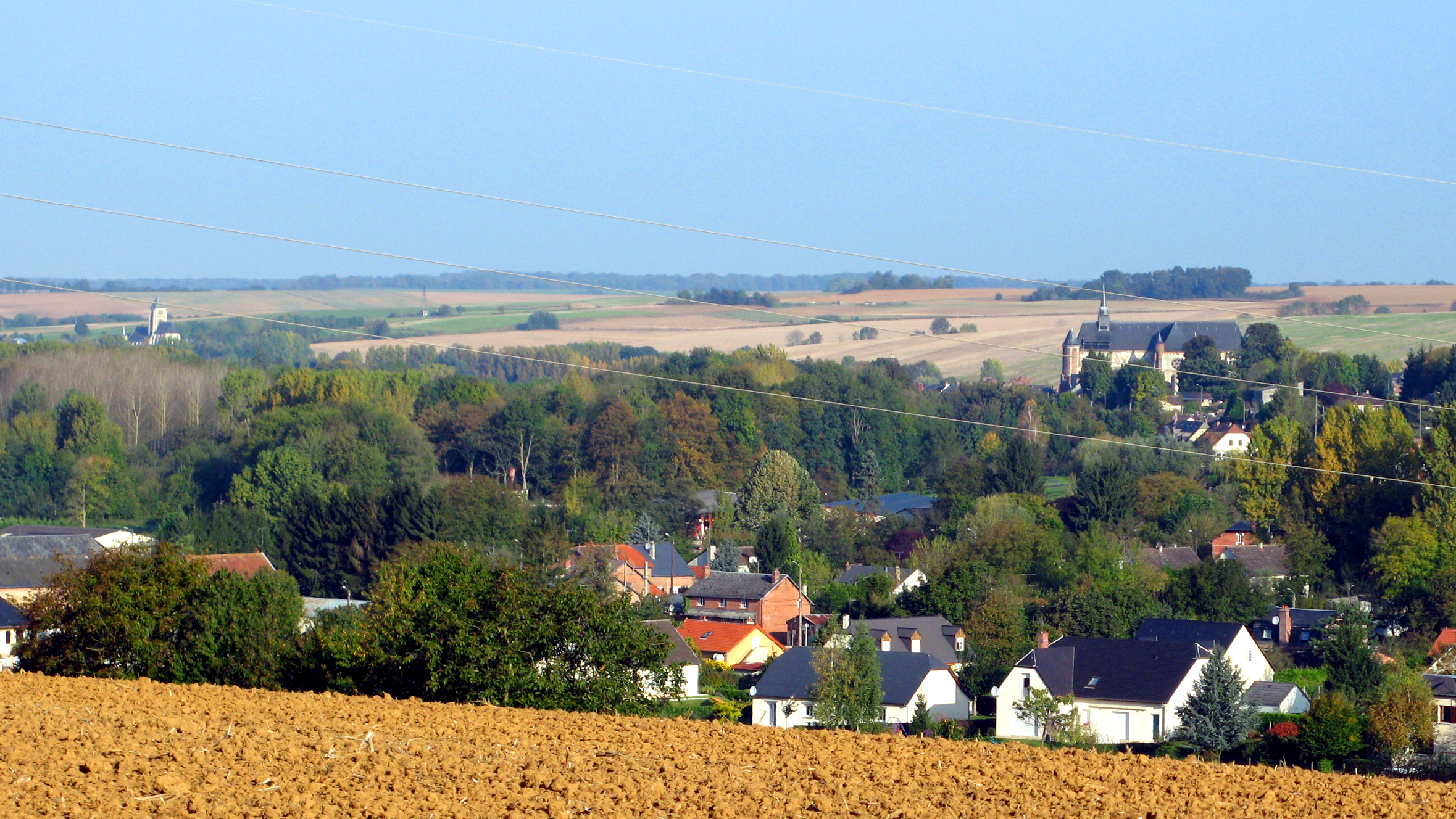 A general view of Chaourse and Montcornet | |
 Coat of arms | |
Location of Montcornet  | |
 Montcornet  Montcornet | |
| Coordinates: 49°41′47″N 4°01′05″E | |
| Country | France |
| Region | Hauts-de-France |
| Department | Aisne |
| Arrondissement | Vervins |
| Canton | Vervins |
| Intercommunality | Portes de la Thiérache |
| Government | |
| • Mayor (2020–2026) | Thomas Hennequin |
| Area 1 | 5.74 km2 (2.22 sq mi) |
| Population | 1,324 |
| • Density | 230/km2 (600/sq mi) |
| Time zone | UTC+01:00 (CET) |
| • Summer (DST) | UTC+02:00 (CEST) |
| INSEE/Postal code | 02502 /02340 |
| Elevation | 108–177 m (354–581 ft) (avg. 112 m or 367 ft) |
| 1 French Land Register data, which excludes lakes, ponds, glaciers > 1 km2 (0.386 sq mi or 247 acres) and river estuaries. | |
Battle of Montcornet
On 14 May 1940, Charles de Gaulle was given command of the new 4e Division cuirassée and ordered to execute a counterattack toward Montcornet, with the objective of slowing the German advance. This was one of the only counterattacks of the French campaign that succeeded in repulsing the German troops.
Population
| Year | Pop. | ±% |
|---|---|---|
| 1962 | 1,439 | — |
| 1968 | 1,486 | +3.3% |
| 1975 | 1,623 | +9.2% |
| 1982 | 1,781 | +9.7% |
| 1990 | 1,755 | −1.5% |
| 1999 | 1,690 | −3.7% |
| 2008 | 1,634 | −3.3% |
See also
References
- "Populations légales 2019". The National Institute of Statistics and Economic Studies. 29 December 2021.
| Wikimedia Commons has media related to Montcornet, Aisne. |
Authority control | |
|---|---|
| General |
|
| National libraries | |
This Vervins arrondissement geographical article is a stub. You can help Wikipedia by expanding it. |
На других языках
- [en] Montcornet, Aisne
[ru] Монкорне (Эна)
Монкорне́ (фр. Montcornet) — коммуна во Франции, находится в регионе Пикардия. Департамент коммуны — Эна. Входит в состав кантона Вервен. Округ коммуны — Вервен.Текст в блоке "Читать" взят с сайта "Википедия" и доступен по лицензии Creative Commons Attribution-ShareAlike; в отдельных случаях могут действовать дополнительные условия.
Другой контент может иметь иную лицензию. Перед использованием материалов сайта WikiSort.org внимательно изучите правила лицензирования конкретных элементов наполнения сайта.
Другой контент может иметь иную лицензию. Перед использованием материалов сайта WikiSort.org внимательно изучите правила лицензирования конкретных элементов наполнения сайта.
2019-2026
WikiSort.org - проект по пересортировке и дополнению контента Википедии
WikiSort.org - проект по пересортировке и дополнению контента Википедии