world.wikisort.org - France
Bray-Dunes (French pronunciation: [bʁɛ dyn]; West Flemish: Bray-Duunn) is a commune in the Nord department in northern France.[2] It is situated on the Belgian border, with Adinkerke being the closest Belgian town. It is the northernmost commune and the northernmost point in all of France (mainland and overseas territories).
Bray-Dunes
Bray-Duunen | |
|---|---|
Commune | |
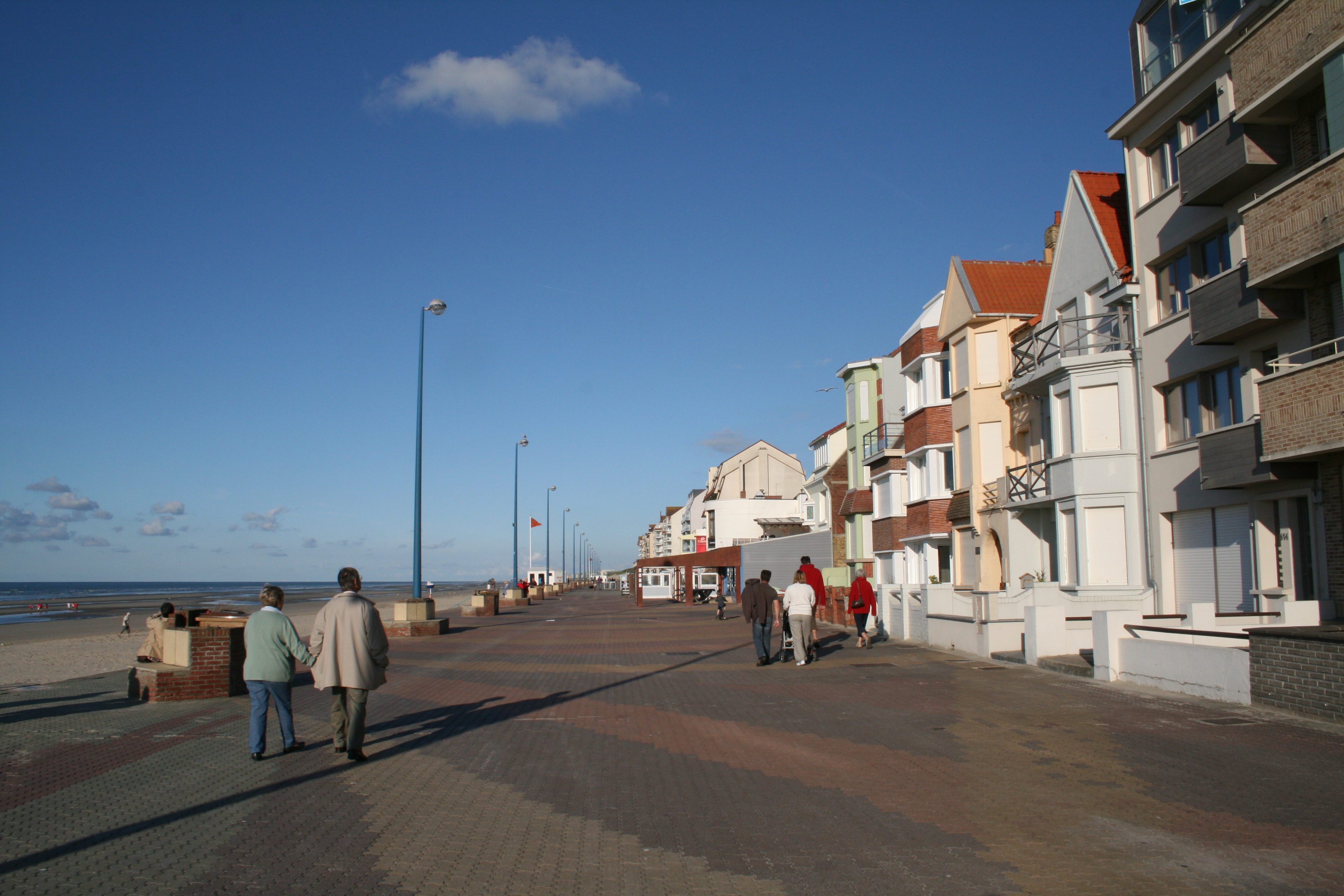 The promenade at Bray-Dunes | |
 Flag  Coat of arms | |
Location of Bray-Dunes  | |
 Bray-Dunes  Bray-Dunes | |
| Coordinates: 51°04′18″N 2°31′42″E | |
| Country | France |
| Region | Hauts-de-France |
| Department | Nord |
| Arrondissement | Dunkerque |
| Canton | Dunkerque-2 |
| Intercommunality | Dunkerque |
| Government | |
| • Mayor (2020–2026) | Christine Gilloots |
| Area 1 | 8.57 km2 (3.31 sq mi) |
| Population | 4,495 |
| • Density | 520/km2 (1,400/sq mi) |
| Time zone | UTC+01:00 (CET) |
| • Summer (DST) | UTC+02:00 (CEST) |
| INSEE/Postal code | 59107 /59123 |
| Elevation | 0–29 m (0–95 ft) (avg. 8 m or 26 ft) |
| 1 French Land Register data, which excludes lakes, ponds, glaciers > 1 km2 (0.386 sq mi or 247 acres) and river estuaries. | |
Bray-Dunes was the site of many casualties during World War II as a result of the Dunkirk evacuation.
Population
| Year | Pop. | ±% p.a. |
|---|---|---|
| 1968 | 3,673 | — |
| 1975 | 4,765 | +3.79% |
| 1982 | 4,777 | +0.04% |
| 1990 | 4,755 | −0.06% |
| 1999 | 4,557 | −0.47% |
| 2007 | 4,681 | +0.34% |
| 2012 | 4,609 | −0.31% |
| 2017 | 4,483 | −0.55% |
| Source: INSEE[3] | ||

Heraldry
 |
The arms of Bray-Dunes are blazoned: Azure, an anchor with hawser, in sinister chief a mullet of 6 argent, on a chief ermine, a bend gules charged with 3 escallops Or.
|
 Flag of Bray-Dunes

See also
- Communes of the Nord department
- Lamanère, the southernmost commune of Continental France
References
- "Populations légales 2019". The National Institute of Statistics and Economic Studies. 29 December 2021.
- INSEE commune file
- Population en historique depuis 1968, INSEE
External links
Wikimedia Commons has media related to Bray-Dunes.
- Official website (in French)
- Unofficial town website
- Website of the Association of the Friends of Bray-Dunes (in French)
This Nord geographical article is a stub. You can help Wikipedia by expanding it. |
На других языках
[de] Bray-Dunes
Bray-Dunes (niederländisch Brayduinen, flämisch Bray-Duunn) ist eine französische Gemeinde mit 4495 Einwohnern (Stand 1. Januar 2019) im Département Nord in der Region Hauts-de-France. Sie gehört zum Arrondissement Dunkerque und seit der Kantonsreform 2015 zum Kanton Dunkerque-2 (zuvor Kanton Dunkerque-Est).- [en] Bray-Dunes
[ru] Бре-Дюн
Бре-Дюн (фр. Brey-Dunes) — коммуна во Франции, регион О-де-Франс, департамент Нор, округ Дюнкерк, кантон Дюнкерк-2, в 12 км от центра Дюнкерка, у границы с Бельгией. Является самой северной коммуной Франции, на её территории находится самая северная географическая точка Франции.Текст в блоке "Читать" взят с сайта "Википедия" и доступен по лицензии Creative Commons Attribution-ShareAlike; в отдельных случаях могут действовать дополнительные условия.
Другой контент может иметь иную лицензию. Перед использованием материалов сайта WikiSort.org внимательно изучите правила лицензирования конкретных элементов наполнения сайта.
Другой контент может иметь иную лицензию. Перед использованием материалов сайта WikiSort.org внимательно изучите правила лицензирования конкретных элементов наполнения сайта.
2019-2026
WikiSort.org - проект по пересортировке и дополнению контента Википедии
WikiSort.org - проект по пересортировке и дополнению контента Википедии