world.wikisort.org - France
Ghyvelde (Dutch: Gijvelde, West Flemish: Gyvelde) is a commune in the Nord department in northern France.[2] It is located on the Belgian border, and just inland from the North Sea. It is, after Bray-Dunes, the second most northern commune of France. The E40/A16 passes through the commune. On 1 January 2016, the former commune Les Moëres was merged into Ghyvelde.[3]
Ghyvelde
Gijvelde | |
|---|---|
Commune | |
 Ghyvelde in the arrondissement of Dunkirk | |
 Coat of arms | |
Location of Ghyvelde  | |
 Ghyvelde  Ghyvelde | |
| Coordinates: 51°03′08″N 2°31′41″E | |
| Country | France |
| Region | Hauts-de-France |
| Department | Nord |
| Arrondissement | Dunkerque |
| Canton | Dunkerque-2 |
| Intercommunality | CU Dunkerque |
| Government | |
| • Mayor (2020–2026) | Patrick Theodon |
| Area 1 | 35.92 km2 (13.87 sq mi) |
| Population | 4,131 |
| • Density | 120/km2 (300/sq mi) |
| Demonym(s) | Ghyveldois |
| Time zone | UTC+01:00 (CET) |
| • Summer (DST) | UTC+02:00 (CEST) |
| INSEE/Postal code | 59260 /59254 |
| Elevation | 0–25 m (0–82 ft) (avg. 4 m or 13 ft) |
| 1 French Land Register data, which excludes lakes, ponds, glaciers > 1 km2 (0.386 sq mi or 247 acres) and river estuaries. | |
Gallery
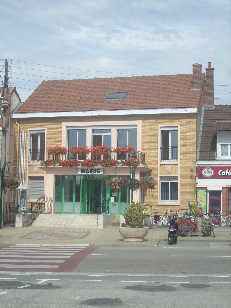
 Town hall
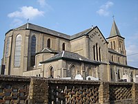 Saint-Vincent church


Heraldry
 |
The arms of Ghyvelde are blazoned : Ermine, on a bend gules, 3 escallops bendwise Or. (Ghyvelde and Hondschoote use the same arms.)
|
See also
References
- "Populations légales 2019". The National Institute of Statistics and Economic Studies. 29 December 2021.
- INSEE commune file
- Arrêté préfectoral 30 November 2015 (in French)
Wikimedia Commons has media related to Ghyvelde.
This Nord geographical article is a stub. You can help Wikipedia by expanding it. |
На других языках
- [en] Ghyvelde
[ru] Гивельд
Гиве́льд (фр. Ghyvelde) — коммуна во Франции, регион О-де-Франс, департамент Нор, округ Дюнкерк, кантон Дюнкерк-2. Расположена в 60 км от Лилля и 14 км от Дюнкерка, на границе с Бельгией. Через территорию коммуны проходит автомагистраль А16 "Европейская".Текст в блоке "Читать" взят с сайта "Википедия" и доступен по лицензии Creative Commons Attribution-ShareAlike; в отдельных случаях могут действовать дополнительные условия.
Другой контент может иметь иную лицензию. Перед использованием материалов сайта WikiSort.org внимательно изучите правила лицензирования конкретных элементов наполнения сайта.
Другой контент может иметь иную лицензию. Перед использованием материалов сайта WikiSort.org внимательно изучите правила лицензирования конкретных элементов наполнения сайта.
2019-2026
WikiSort.org - проект по пересортировке и дополнению контента Википедии
WikiSort.org - проект по пересортировке и дополнению контента Википедии