world.wikisort.org - India
Hridaypur is a town (locality) in Barasat of North 24 Parganas district in the Indian state of West Bengal. It is close to Kolkata and also a part of the area covered by Kolkata Metropolitan Development Authority (KMDA).
Hridaypur | |
|---|---|
Neighbourhood | |
 Hridaypur Location in West Bengal, India  Hridaypur Hridaypur (India) | |
| Coordinates: 22.7°N 88.45°E | |
| Country | |
| State | West Bengal |
| District | North 24 Parganas |
| Region | Greater Kolkata[1] |
| Government | |
| • Type | Municipality |
| • Body | Barasat Municipality |
| Elevation | 4 m (13 ft) |
| Languages | |
| • Official | Bengali, English |
| Time zone | UTC+5:30 (IST) |
| PIN | 700127 |
| Telephone code | +91 33 |
| Vehicle registration | WB |
| Lok Sabha constituency | Barasat |
| Vidhan Sabha constituency | Barasat |
| Website | north24parganas |
Geography
The rail-line bisects the area in 2 zones:
- West Hridaypur
- East Hridaypur
The Eastern part extends to National Highway 12. The western part is larger. West Hridaypur lacks any defined boundary. The western part of Hridaypur also connects to Madhyamgram Sajirhat via Kora Badamtola.
Hridaypur is notable for the Pranavananda Matri Ashram which is an orphanage for girls following the ideals and teachings of Swami Pranavananda, the founder of Bharat Sevashram Sangha. The ashram also houses a school where a large number of children of the local area study.
Transportation
The National Highway 12 (Jessore Road) runs through the east of Hridaypur. There is a bus stop named Hridaypur More, near Dakbungalow More at the point where the Hridaypur Station Road meets the Jessore Road. Hridaypur railway station, which belongs to the Sealdah–Hasnabad–Bangaon–Ranaghat line serves the area.
Schools in Hridaypur
- West Hridaypur Pranavananda Vidya Mandir for Girls (H.S)
- Manabata Sikshayatan High School
- Udayrajpur Hariharpur High School (H.S)
- Udayrajpur Hariharpur Girls' High School (H.S)
Colleges in Hridaypur
- BCDA College of Pharmacy and Technology
- SM's College of Management and Technology
- Sikkim Manipal University
Healthcare
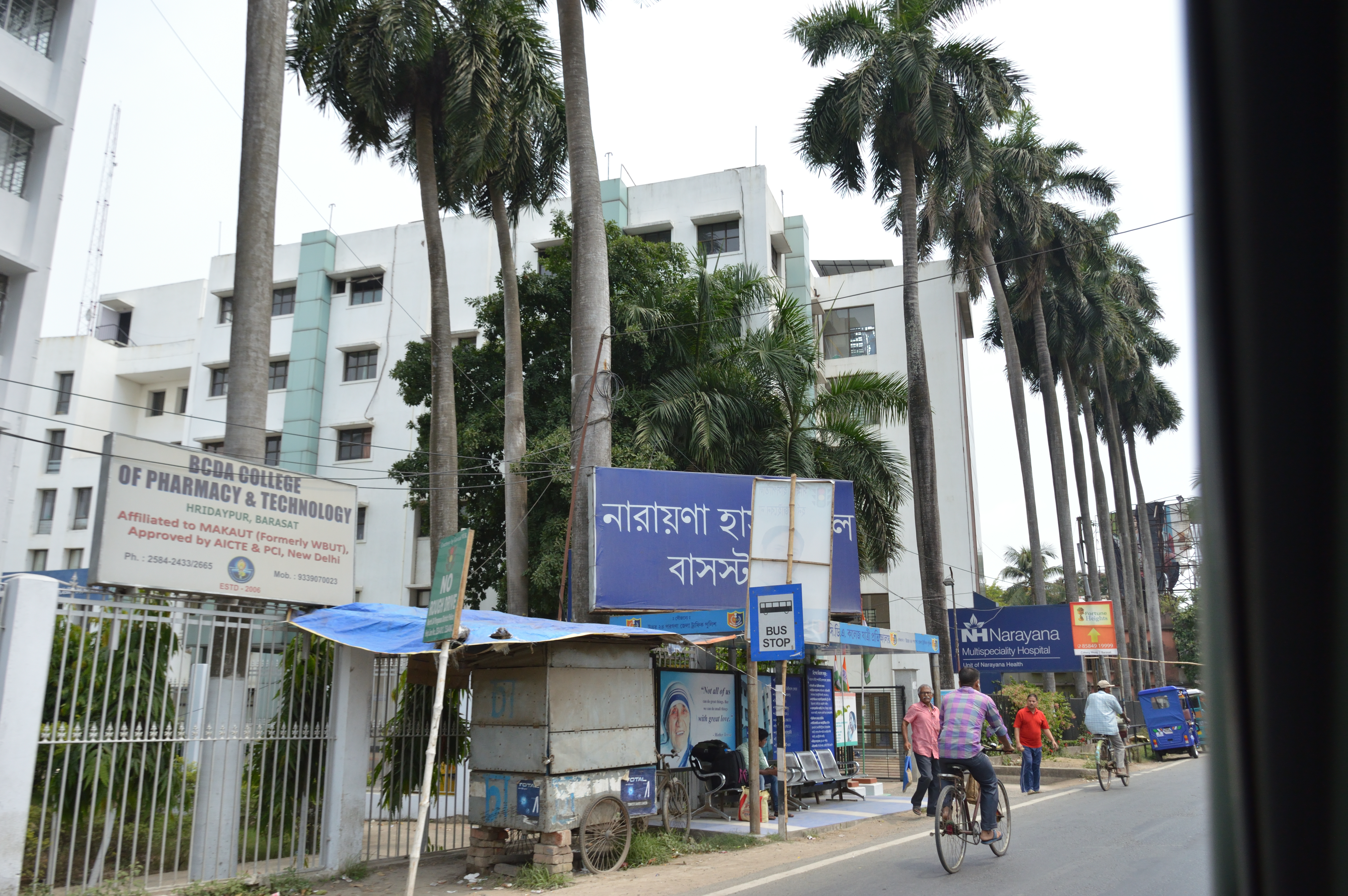
- Narayana Multi-specialty Hospital
- Renuka Eye Institute
- Sri Krishna Medical
North 24 Parganas district has been identified as one of the areas where ground water is affected by arsenic contamination.[2]
References
- Civic Administration of Kolkata
- "Groundwater Arsenic contamination in West Bengal-India (19 years study )". Groundwater arsenic contamination status of North 24-Parganas district, one of the nine arsenic affected districts of West Bengal-India. SOES. Archived from the original on 27 September 2007. Retrieved 24 August 2007.
External links
 Kolkata/Northern fringes travel guide from Wikivoyage
Cities, towns, locations and neighbourhoods in North 24 Parganas district, Presidency division | ||||||||||||
|---|---|---|---|---|---|---|---|---|---|---|---|---|
| Municipal cities/ towns and Census towns |
|  | ||||||||||
| Locations other than cities and towns |
| |||||||||||
| Neighbourhoods of other cities and towns in the district | ||||||||||||
| Related topics |
| |||||||||||
North 24 Parganas district topics | |||||||||
|---|---|---|---|---|---|---|---|---|---|
| General |
| ||||||||
| Subdivisions |
| ||||||||
| Municipalities | |||||||||
| Community development blocks |
| ||||||||
| Rivers | |||||||||
| Transport |
| ||||||||
| Railway stations | 
| ||||||||
| Institutes of higher learning | 
| ||||||||
| Lok Sabha constituencies |
| ||||||||
| Vidhan Sabha constituencies |
| ||||||||
| Former Vidhan Sabha constituencies |
| ||||||||
| See also |
| ||||||||
This article about a location in the North 24 Parganas district of West Bengal is a stub. You can help Wikipedia by expanding it. |
Другой контент может иметь иную лицензию. Перед использованием материалов сайта WikiSort.org внимательно изучите правила лицензирования конкретных элементов наполнения сайта.
WikiSort.org - проект по пересортировке и дополнению контента Википедии