world.wikisort.org - France
La Feuillée (French pronunciation: [la fœje]; Breton: Ar Fouilhez) is a commune in the Finistère department of Brittany in north-western France.
La Feuillée
Ar Fouilhez | |
|---|---|
Commune | |
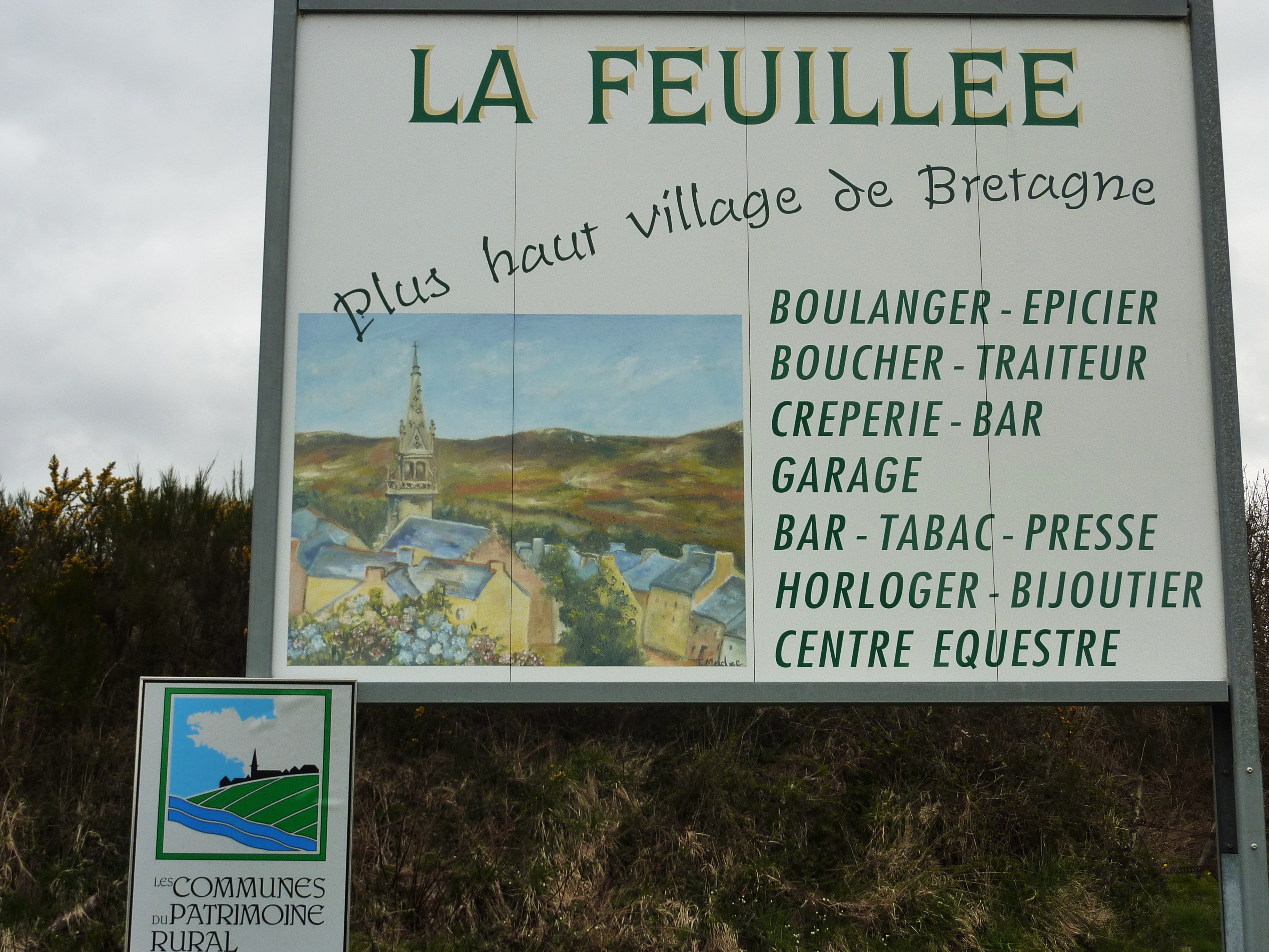 La Feuillée, the highest village in Brittany | |
 Coat of arms | |
Location of La Feuillée  | |
 La Feuillée  La Feuillée | |
| Coordinates: 48°23′33″N 3°51′08″W | |
| Country | France |
| Region | Brittany |
| Department | Finistère |
| Arrondissement | Châteaulin |
| Canton | Carhaix-Plouguer |
| Intercommunality | Monts d'Arrée Communauté |
| Government | |
| • Mayor (2020–2026) | Jean-François Dumonteil[1] |
| Area 1 | 31.55 km2 (12.18 sq mi) |
| Population | 642 |
| • Density | 20/km2 (53/sq mi) |
| Time zone | UTC+01:00 (CET) |
| • Summer (DST) | UTC+02:00 (CEST) |
| INSEE/Postal code | 29054 /29690 |
| Elevation | 192–381 m (630–1,250 ft) |
| 1 French Land Register data, which excludes lakes, ponds, glaciers > 1 km2 (0.386 sq mi or 247 acres) and river estuaries. | |
Population
Inhabitants of La Feuillée are called in French Feuillantins. The population has been divided by three since the year 1881.
|
|
| ||||||||||||||||||||||||||||||||||||||||||||||||||||||||||||||||||||||||||||||||||||||||||||||||||||||
Geography
The village is situated in the Monts d'Arrée, a moorland area in the northern part of the Finistère. The village centre is located 21 km (13 mi) south of Morlaix and 47 km (29 mi) east of Brest. The village centre is the highest in Brittany. It is at an altitude of 275 meters. It is surrounded by several high peaks : the Roc'h Trevezel (385 meters), the Roc'h Tredudon (385 meters).
Map

See also
- Communes of the Finistère department
- Parc naturel régional d'Armorique
References
- "Répertoire national des élus: les maires". data.gouv.fr, Plateforme ouverte des données publiques françaises (in French). 9 August 2021.
- "Populations légales 2019". The National Institute of Statistics and Economic Studies. 29 December 2021.
External links
Wikimedia Commons has media related to La Feuillée.
- Official website (in French)
- Base Mérimée: Search for heritage in the commune, Ministère français de la Culture. (in French)
- Mayors of Finistère Association (in French)
This Finistère geographical article is a stub. You can help Wikipedia by expanding it. |
На других языках
[de] La Feuillée
La Feuillée (bretonisch Ar Fouilhez) ist eine französische Gemeinde in der Bretagne im Département Finistère mit 642 Einwohnern (Stand 1. Januar 2019).- [en] La Feuillée
[fr] La Feuillée
La Feuillée [la fœje]est une commune du département du Finistère, dans la région Bretagne, en France. Ses habitants sont les Feuillantins et les Feuillantines. Elle fait partie de Monts d'Arrée Communauté. C'est la plus haute commune de Bretagne, incluse dans le parc naturel régional d'Armorique.Текст в блоке "Читать" взят с сайта "Википедия" и доступен по лицензии Creative Commons Attribution-ShareAlike; в отдельных случаях могут действовать дополнительные условия.
Другой контент может иметь иную лицензию. Перед использованием материалов сайта WikiSort.org внимательно изучите правила лицензирования конкретных элементов наполнения сайта.
Другой контент может иметь иную лицензию. Перед использованием материалов сайта WikiSort.org внимательно изучите правила лицензирования конкретных элементов наполнения сайта.
2019-2026
WikiSort.org - проект по пересортировке и дополнению контента Википедии
WikiSort.org - проект по пересортировке и дополнению контента Википедии