world.wikisort.org - China
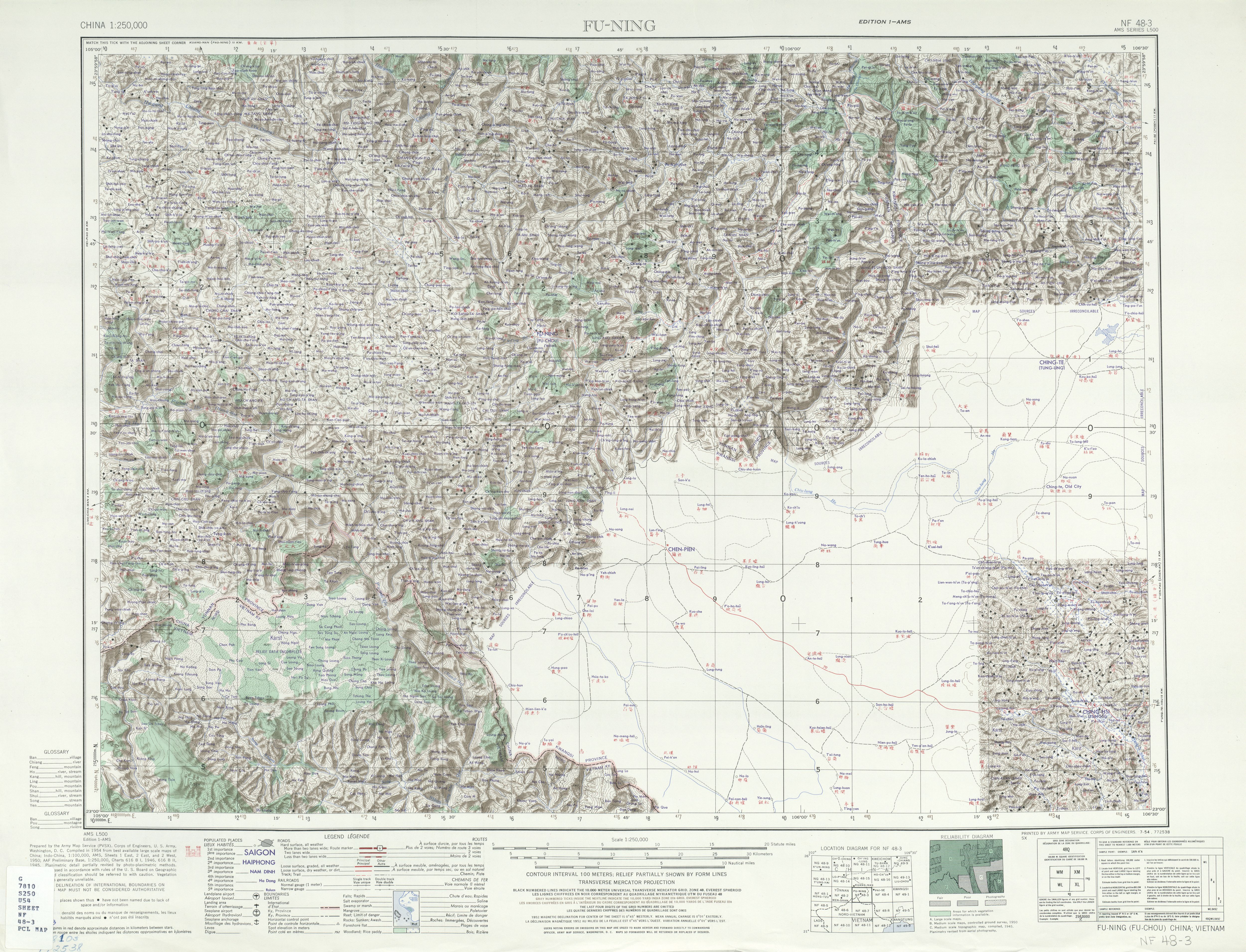
Funing County (simplified Chinese: 富宁县; traditional Chinese: 富寧縣; pinyin: Fùníng Xiàn; Zhuang language: Funingz Yen) is located in Wenshan Zhuang and Miao Autonomous Prefecture, in the east of Yunnan province, China. It is the easternmost county-level division of Yunnan, bordering Guangxi to the north, east and southeast, and Vietnam's Hà Giang Province to the south.[2]
Funing County
富宁县 • Funingz Yen | |
|---|---|
County | |
 Location of Funing County (pink) and Wenshan Prefecture (yellow) within Yunnan province | |
 Funing Location of the seat in Yunnan | |
| Coordinates: 23°37′48″N 105°37′34″E | |
| Country | People's Republic of China |
| Province | Yunnan |
| Autonomous prefecture | Wenshan |
| Area | |
| • Total | 5,352 km2 (2,066 sq mi) |
| Dimensions | |
| • Length | 108.78 km (67.59 mi) |
| • Width | 109.89 km (68.28 mi) |
| Highest elevation (Mount Muhong (木洪山)) | 1,851 m (6,073 ft) |
| Lowest elevation | 203 m (666 ft) |
| Population | |
| • Total | 390,000 |
| • Density | 73/km2 (190/sq mi) |
| Time zone | UTC+8 (CST) |
| Postal code | 663400 |
| Area code | 0876 |
| Website | www |
Administrative divisions
In the present, Funing County has 6 towns, 6 townships and 1 ethnic township.[3]
- 6 towns
|
|
- 6 townships
|
|
- 1 ethnic township
- Dongbo Yao (洞波瑶族乡)
Ethnic groups
Ethnic groups of Funing County include the following. Population statistics are from 1990, and are sourced from the Funing County Ethnic Gazetteer 富宁县民族志 (1998).
- Han Chinese (84,337 people)
- Zhuang people (199,784 people, including the Buyang)
- Min Zhuang[4]
- Dai Zhuang ("Dai Tho")[4]
- Yei Zhuang[4]
- Buyang people
- Gelao people (121 people)
- Yi people (11,249 people)
- Miao people (24,414 people)[5]
- White Miao 白苗 (autonym: m̥oŋ˦˧ de˦˧)
- Lopsided Miao 偏苗 (autonym: m̥oŋ˦˧ ʂua˦ 蒙刷)
- Red Miao 红苗
- Yao people (36,591 people)[5]
- Landian [Blue Indigo] Yao 蓝靛瑶 (Kim Mun; autonym: kiːm˩ munː˩)
- Daban [Large Board] Yao 大板瑶 (Iu Mien; autonym: jiu˦˨ mien˦˨)
- Shan [Mountain] Yao 山瑶 ("Buya 布亚"; autonym: pu˥ʐa˩)
The Zheyuan 蔗园 people of Dongbo 洞波 and Guichao 归朝,[6] Funing County, are classified as ethnic Han (You 2013:290, 361-363).[7] They numbered 1,033 persons as of 1960, and call themselves the "Yuexi people" (粤西人), while some also refer to themselves as the Buhong 布红. The Zheyuan people migrated from Xuanhua County 宣化县, Guangxi (currently the southern banks of the Yong River 邕江, in Nanning City, Guangxi) about 150 years ago. The Zheyuan people speak a Yue Chinese dialect.[7]
Zhuang
The Funing County Ethnic Gazetteer (Lu and Nong 1998) identifies the following Zhuang subgroups.[5]
- Butu (布土)
- Tianbao (天保)
- Bu’ao (布傲)
- Jiazhou (甲州)
- Longjiang (龙降)
- Mayang (麻央)
- Yangwu (洋乌)
- Buli (布俚)
- Buyei (布越)
- Long’an (隆安)
- Buyang (布央)
Yi
According to the Funing County Ethnic Gazetteer 富宁县民族志 (1998), ethnic Yi numbered 11,249 as of 1991, or 3.15% of the total county population. The Zhuang exonym for the Yi is Bùměng 布孟 (also Měngrén 孟人).
| Yi group (Chinese name) | Local names (autonyms, exonyms) | No. of villages |
|---|---|---|
| White Yi 白彝 | Měngpiāo 孟瓢, Měngdǎi 蒙歹 | 59 |
| Gāokùjiǎo White Yi 高裤脚白彝 (高白彝) |
Měngkōng 蒙空, Měngpéng 蒙彭 | 13 |
| Black Yi 黑彝 | Měngnà 孟那, Měngjí 蒙吉, Měngxìn 蒙信 | 3 |
| Flowery Yi 花彝 | Měngyī 孟衣, Kèduǒ 克朵, Měngyóu 蒙尤 | 14 |
| White Flowery Yi 白花彝 | Měngbào 孟刨 | 1 |
| Sinicized Yi 汉彝 | Měnglàng 孟浪 | 2 |
| Měngméi Lolo 孟梅倮 | Měngtáng 孟堂, Kèliè 克列 | ? |
There are 92 villages with ethnic Yi (in 38 administrative villages), consisting of 54 pure Yi villages and 38 ethnically mixed villages.[5]
| Township | Ethnic Yi population |
Percentage within township |
Ethnic Yi subgroups |
|---|---|---|---|
| Xīnhuá 新华乡 | 249 | 0.75% | Měngdǎi 蒙歹 (White Yi) |
| Bǎnlún 板仑乡 | 2,786 | 11.61% | Měngkōng 蒙空 (High-Trouser Yi) |
| Lǐdá 里达镇 | 1,293 | 6.02% | Měngdǎi 蒙歹 (White Yi), Měngkōng 蒙空 (High-Trouser Yi) |
| Mùlún 睦伦乡 | 1,774 | 10.11% | Měngdǎi 蒙歹 (White Yi) |
| Mùyāng 木央乡 | 3,454 | 12.47% | Měngdǎi 蒙歹 (White Yi), Kèliè 克列 (Mengmei Yi), Kèduǒ 克朵 (Flowery Yi), Měnglàng 孟浪 (Sinicized Yi), Měngjí 蒙吉 (Black Yi) |
Ethnic Yi are found in the following villages of Funing County.[5]
- Xinhua Township 新华乡
- Banlun Township 板仑乡
- Lida Township 里达镇
- Mulun Township 睦伦乡
- Muyang Township 木央乡
- Tianpeng Township 田蓬镇
Transport
- Nearest airport: Wenshan Airport
Historical sites
- Liuyi Hall of Elders 六宜村老人亭[24]
- Poya Hall of Elders 坡芽村老人亭[25]
- Guichao Old Town 归朝古镇[26]
- The ancient village of Pingkun 坪坤村[27]
Climate
| Climate data for Funing (1981−2010) | |||||||||||||
|---|---|---|---|---|---|---|---|---|---|---|---|---|---|
| Month | Jan | Feb | Mar | Apr | May | Jun | Jul | Aug | Sep | Oct | Nov | Dec | Year |
| Record high °C (°F) | 31.5 (88.7) |
34.1 (93.4) |
37.1 (98.8) |
38.8 (101.8) |
39.5 (103.1) |
37.0 (98.6) |
36.5 (97.7) |
36.6 (97.9) |
35.6 (96.1) |
33.0 (91.4) |
31.9 (89.4) |
30.2 (86.4) |
39.5 (103.1) |
| Average high °C (°F) | 17.3 (63.1) |
19.5 (67.1) |
23.9 (75.0) |
28.1 (82.6) |
29.7 (85.5) |
30.6 (87.1) |
31.0 (87.8) |
30.9 (87.6) |
29.1 (84.4) |
25.9 (78.6) |
22.6 (72.7) |
19.0 (66.2) |
25.6 (78.1) |
| Daily mean °C (°F) | 11.7 (53.1) |
13.9 (57.0) |
17.6 (63.7) |
21.9 (71.4) |
24.2 (75.6) |
25.5 (77.9) |
25.7 (78.3) |
24.9 (76.8) |
23.0 (73.4) |
20.2 (68.4) |
16.3 (61.3) |
12.4 (54.3) |
19.8 (67.6) |
| Average low °C (°F) | 7.8 (46.0) |
9.7 (49.5) |
12.9 (55.2) |
17.2 (63.0) |
20.0 (68.0) |
21.9 (71.4) |
22.2 (72.0) |
21.5 (70.7) |
19.4 (66.9) |
16.7 (62.1) |
12.3 (54.1) |
8.0 (46.4) |
15.8 (60.4) |
| Record low °C (°F) | −1.3 (29.7) |
0.0 (32.0) |
0.7 (33.3) |
8.1 (46.6) |
9.9 (49.8) |
13.6 (56.5) |
14.9 (58.8) |
16.0 (60.8) |
11.0 (51.8) |
6.0 (42.8) |
0.7 (33.3) |
−3.7 (25.3) |
−3.7 (25.3) |
| Average precipitation mm (inches) | 17.4 (0.69) |
19.3 (0.76) |
27.9 (1.10) |
56.7 (2.23) |
119.6 (4.71) |
184.7 (7.27) |
199.7 (7.86) |
219.7 (8.65) |
118.9 (4.68) |
76.3 (3.00) |
47.5 (1.87) |
15.9 (0.63) |
1,103.6 (43.45) |
| Average relative humidity (%) | 78 | 77 | 72 | 72 | 74 | 79 | 81 | 83 | 82 | 81 | 80 | 78 | 78 |
| Source: China Meteorological Data Service Center[28] | |||||||||||||
References
- 地形地貌 (in Simplified Chinese). Funing County People's Government. Retrieved 2 June 2018.
- 富宁简介 (in Simplified Chinese). Funing County People's Government. Retrieved 2 June 2018.
- "国家统计局" (in Chinese). National Bureau of Statistics of the People's Republic of China. Retrieved 2021-12-07.
- Johnson, Eric C. 2011. "A Lexical and Phonological Comparison of the Central Taic Languages of Wenshan Prefecture, China: Getting More Out of Language Survey Wordlists Than Just Lexical Similarity Percentages." SIL Electronic Working Papers 2011-005: 170.
- Lu Zhengyuan (吕正元) and Nong Lansheng (农览生), chief editors. 1998. Funing Xian Minzu Zhi [Funing County Nationalities Almanac]. Kunming: Yunnan Ethnic Publishing House.
- Yunnan minzu shibie zonghe diaocha zubian 云南民族识别综合调查组编 (1960).Yunnan minzu shibie zonghe diaocha baogao 云南民族识别综合调查报告. Kunming: Yunnan minzu shibie zonghe diaochazu 云南民族识别综合调查组.
- You Weiqiong (尤伟琼) (2013). 云南民族识别研究 [Classifying ethnic groups of Yunnan]. Beijing: Ethnic Publishing House (民族出版社).
- http://www.ynszxc.net/villagePage/vIndex.aspx?departmentid=189946 [dead link]
- Lama, Ziwo Qiu-Fuyuan. 2012. Subgrouping Of Nisoic (Yi) Languages: A Study From The Perspectives Of Shared Innovation And Phylogenetic Estimation. Ph.D. dissertation, University of Texas at Arlington.
- http://www.ynszxc.net/villagePage/vIndex.aspx?departmentid=238706 [dead link]
- http://www.ynszxc.net/villagePage/vIndex.aspx?departmentid=238704 [dead link]
- http://www.ynszxc.net/villagePage/vindex.aspx?departmentid=238705 [dead link]
- http://www.ynszxc.net/villagePage/vIndex.aspx?departmentid=238831 [dead link]
- http://www.ynszxc.net/villagePage/vIndex.aspx?departmentid=238833 [dead link]
- http://www.ynszxc.net/villagePage/vIndex.aspx?departmentid=238837 [dead link]
- http://www.ynszxc.net/villagePage/vIndex.aspx?departmentid=238852 [dead link]
- http://www.ynszxc.net/villagePage/vIndex.aspx?departmentid=238832 [dead link]
- http://www.ynszxc.net/villagePage/vIndex.aspx?departmentid=259546 [dead link]
- Wu Zili [武自立]. 1993. A preliminary study of the Mo'ang language of Funing County, Yunnan Province [云南富宁未昂话初探]. Minzu Yuwen 2. http://wuxizazhi.cnki.net/Search/MZYW199302009.html
- http://www.ynszxc.net/villagePage/vIndex.aspx?departmentid=206684 [dead link]
- http://www.ynszxc.net/villagePage/vIndex.aspx?departmentid=206527 [dead link]
- http://www.ynszxc.net/villagePage/vIndex.aspx?departmentid=196662 [dead link]
- There is a Gelao village here called Dingjiapo 丁家坡. http://www.ynszxc.net/villagePage/vIndex.aspx?departmentid=196701
- http://www.ynszxc.net/villagePage/vIndex.aspx?departmentid=4905 [dead link]
- http://www.ynszxc.net/villagePage/vIndex.aspx?departmentid=4906 [dead link]
- http://www.ynszxc.net/villagePage/vIndex.aspx?departmentid=218792 [dead link]
- http://www.ynszxc.net/villagePage/vIndex.aspx?departmentid=219071 [dead link]
- 中国地面气候标准值月值(1981-2010) (in Simplified Chinese). China Meteorological Data Service Center. Retrieved 5 November 2022.
Further reading
- Hsiu, Andrew. 2014. "Mondzish: a new subgroup of Lolo-Burmese". In Proceedings of the 14th International Symposium on Chinese Languages and Linguistics (IsCLL-14). Taipei: Academia Sinica.
- Wu Zili. 1994. A preliminary study of the Gasu language of Guangnan County, Yunnan Province [云南省广南县嘎苏话初探]. Minzu Yuwen 2.
External links
На других языках
[de] Funing (Wenshan)
Der Kreis Funing (chinesisch .mw-parser-output .Hani{font-size:110%}富宁县, Pinyin Fùníng Xiàn) ist ein Kreis des Autonomen Bezirks Wenshan der Zhuang und Miao im Südosten der chinesischen Provinz Yunnan. Sein Hauptort ist die Großgemeinde Xinhua (新华镇). Der Kreis Funing hat eine Fläche von 5.268 km² und zählt 396.818 Einwohner (Stand: Zensus 2020).[1]- [en] Funing County, Yunnan
[ru] Фунин (Вэньшань)
Фуни́н (кит. упр. 富宁, пиньинь Fùníng) — уезд Вэньшань-Чжуан-Мяоского автономного округа провинции Юньнань (КНР).Другой контент может иметь иную лицензию. Перед использованием материалов сайта WikiSort.org внимательно изучите правила лицензирования конкретных элементов наполнения сайта.
WikiSort.org - проект по пересортировке и дополнению контента Википедии