world.wikisort.org - Turkey
Ortaköy is a village in the district of Uludere in Şırnak province, Turkey.[1] Ortaköy is 55 kilometres (34 mi) away from the district of Uludere and it is located in southeastern Turkey, just on the western border of the Hakkari province. Historically, it was located in the Assyrian region of Hakkari.
Ortaköy
Ārosh | |
|---|---|
Village | |
 The mountainous landscape. | |
 Ortaköy Location in Turkey | |
| Coordinates: 37°19′41″N 43°16′00″E | |
| Country | |
| Province | Şırnak |
| District | Uludere |
| Government | |
| • Mayor | Zeynep Üren (BDP) |
| Elevation | 1,402 m (4,600 ft) |
| Population (2013) | |
| • Total | 3,000 |
| Time zone | UTC+2 (EET) |
| • Summer (DST) | UTC+3 (EEST) |
| Postal code | 73 600 |
| Area code | 0482 |
| Licence plate | 47 |
History
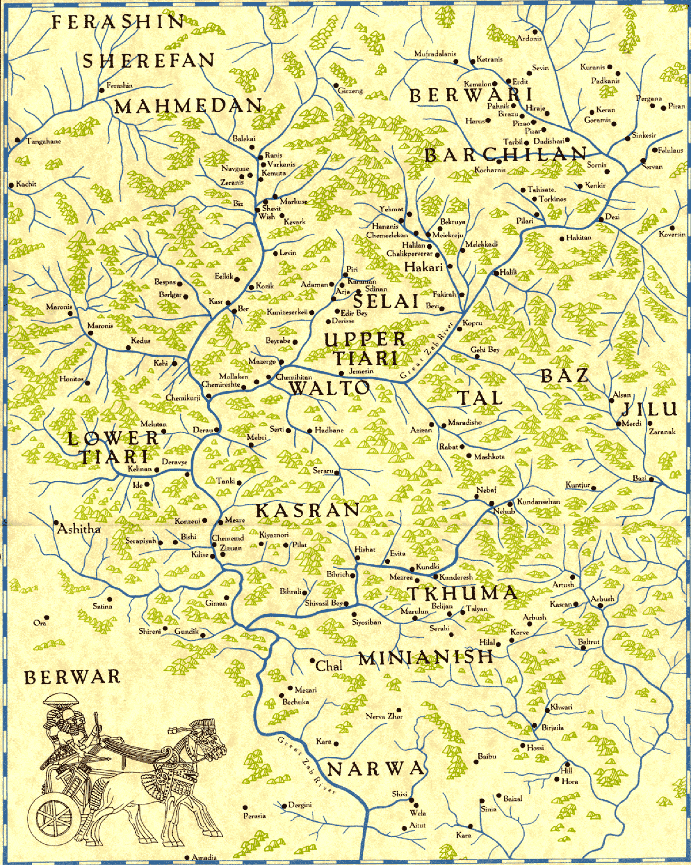
The village used to be part of Assyria, in Ārosh Taxtayta (Lower Arosh) within the historical Assyrian district of Tyari and was populated by Assyrian people up until Seyfo in 1914.[2] The Assyrian village Ārosh Alayta (Upper Arosh), now named Yukariarus, in Hakkari, is less than 1 kilometre (0.62 mi) away, closely bordering the province of Sirnak. Halmon is around 4 kilometres (2.5 mi) to the northeast in Andaç and Gérāmon to the northwest, just right next to Halmon. Assyrian inhabitants of these proximate villages have ever since intermixed.[3]
Population
| Population by years | |
|---|---|
| 2013 | 3,000 |
| 2007 | 1,082 |
| 2000 | 1,023 |
| 1997 | 734 |
See also
- Andaç, Uludere, the area that used to be Halmon and Geramon
- Çukurca
- Jilu, an Assyrian tribe in Hakkari
- Baz, an Assyrian tribe in Hakkari
- Çığlı, Çukurca
- Nochiya tribe
References
- "[YerelNET] ORTAKÖY KÖYÜ". www.yerelnet.org.tr. Retrieved 2018-02-13.
- "French map of Assyrian Lands". www.aina.org. Archived from the original on 2002-06-12.
- "Assyrian villages in Hakkari Assyrian villages in Hakkari".
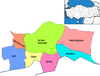
Ortaköy, Uludere in Şırnak Province of Turkey | |||||||||||||||||||||||||||
|---|---|---|---|---|---|---|---|---|---|---|---|---|---|---|---|---|---|---|---|---|---|---|---|---|---|---|---|
| Districts |
|   | |||||||||||||||||||||||||
||
Metropolitan municipalities are bolded. | |||||||||||||||||||||||||||
Другой контент может иметь иную лицензию. Перед использованием материалов сайта WikiSort.org внимательно изучите правила лицензирования конкретных элементов наполнения сайта.
WikiSort.org - проект по пересортировке и дополнению контента Википедии