world.wikisort.org - Japan
Kita Ward (北区, Kita-ku) is one of the 16 wards of the city of Nagoya in Aichi Prefecture, Japan. As of 1 October 2019, the ward had an estimated population of 163,555 and a population density of 9,330 persons per km². The total area was 17.53 km².

Kita
北区 | |
|---|---|
Ward | |
| Kita Ward | |
  Meijō Park Ōzone | |
 Location of Kita-ku in Nagoya | |
 Kita | |
| Coordinates: 35°11′39″N 136°54′42″E | |
| Country | Japan |
| Region | Chūbu region Tōkai region |
| Prefecture | Aichi |
| Area | |
| • Total | 17.53 km2 (6.77 sq mi) |
| Population (October 1, 2019) | |
| • Total | 163,555 |
| • Density | 9,300/km2 (24,000/sq mi) |
| Time zone | UTC+9 (Japan Standard Time) |
| - Tree | Sakura |
| - Flower | Cosmos (flower)[1] |
| Phone number | 052-911-3131 |
| Address | 17-1, Shimizu 4-chome, Kita-ku, Nagoya-shi, Aichi-ken 462-8511 |
| Website | www |
Geography
Kita Ward is the north of the center of the city of Nagoya.
Surrounding municipalities
- Nishi Ward
- Moriyama Ward
- Naka Ward
- Higashi Ward
- Kasugai
- Kitanagoya
- Toyoyama
History
Kita Ward was founded in 1944. Its area was expanded in 1946 with an addition from Higashi-ku and again in 1951 with an addition from Naka-ku. In 1955, the village of Kusunoki, formerly part of Nishikasugai District was annexed by Nagoya city, and joined to Kita Ward.

Economy
Kita Ward is largely a regional commercial center and bedroom community for central Nagoya.
- Ōzone Sub CBD
- Mets Ōzone(Higashi-ku)
- Mitsubishi Electric Corporation Nagoya Factory(Higashi-ku)
- OZ Garden
- OZ Mall
 Ōzone
Ōzone Marion Ōzone
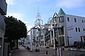 OZ Mall
 OZ Garden
 Ōzone Station Intersection


Education
University
- Aichi Gakuin University
- Nagoya Sangyo University Satellite campus
- Nagoya Zokei University
 Aichi Gakuin University
 Nagoya Sangyo University Satellite campus
 Nagoya Zokei University


Transportation


Railroads
- Meitetsu - Meitetsu Seto Line
- Meitetsu - Meitetsu Komaki Line
- Nagoya Municipal Subway – Meijō Line
- Meijō Kōen –Kurokawa –Shiga-hondōri –Heian-dōri -Ōzone
- Nagoya Municipal Subway – Kamiiida Line
Highways
- Nagoya Expressway
- Japan National Route 19
- Japan National Route 41
- Japan National Route 302
Local attractions

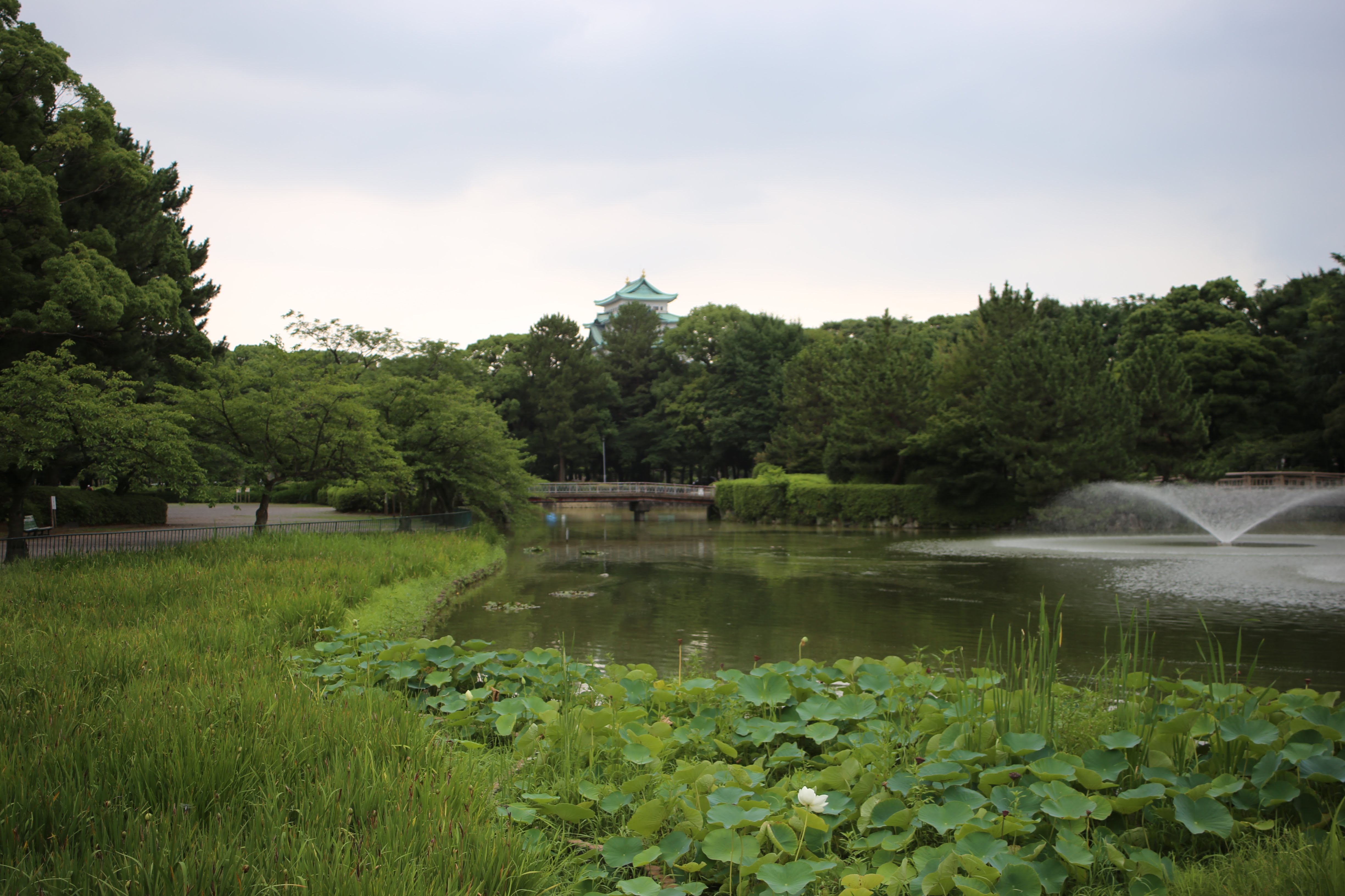
- Meijō Park
- Tonarino
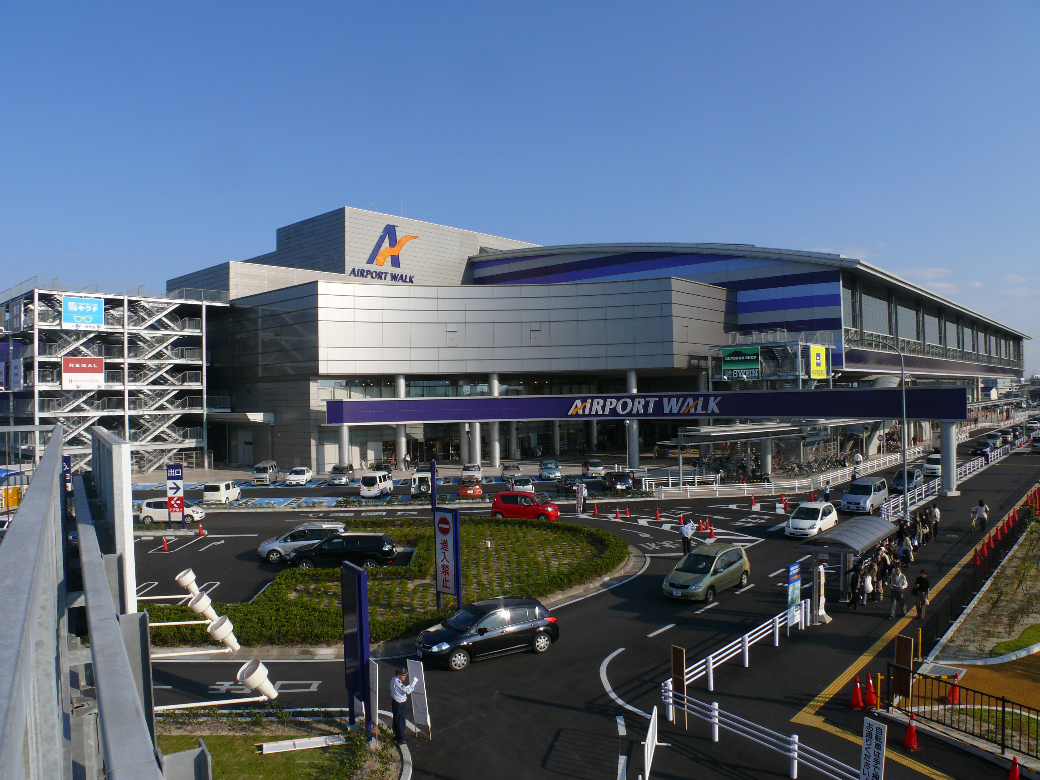
- Nagoya Airfield
- Ozmall
 Meijō Park
 Tonarino
 Ozmall


Wikimedia Commons has media related to Kita-ku, Nagoya.
References
- 北区の紹介 (in Japanese). Nagoya City. 30 March 2009.
Nagoya (capital) | ||||
| Nagoya |
| |||
| Core cities |
| |||
| Special city | ||||
| Cities | ||||
| Districts | ||||
| ||||
Текст в блоке "Читать" взят с сайта "Википедия" и доступен по лицензии Creative Commons Attribution-ShareAlike; в отдельных случаях могут действовать дополнительные условия.
Другой контент может иметь иную лицензию. Перед использованием материалов сайта WikiSort.org внимательно изучите правила лицензирования конкретных элементов наполнения сайта.
Другой контент может иметь иную лицензию. Перед использованием материалов сайта WikiSort.org внимательно изучите правила лицензирования конкретных элементов наполнения сайта.
2019-2025
WikiSort.org - проект по пересортировке и дополнению контента Википедии
WikiSort.org - проект по пересортировке и дополнению контента Википедии