world.wikisort.org - Japan
Fujimi (富士見町, Fujimi-machi) is a town located in Nagano Prefecture, Japan. As of 1 April 2019[update], the town had an estimated population of 14,485 in 5958 households,[1] and a population density of 102 persons per km². The total area of the town is 144.76 square kilometres (55.89 sq mi).[1]
Fujimi
富士見町 | |
|---|---|
Town | |
 Fujimi Town Hall | |
 Flag  Seal | |
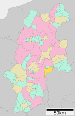 Location of Fujimi in Nagano Prefecture | |
 Fujimi | |
| Coordinates: 35°54′52.5″N 138°14′26.4″E | |
| Country | Japan |
| Region | Chūbu (Kōshin'etsu) |
| Prefecture | Nagano |
| District | Suwa |
| Area | |
| • Total | 144.76 km2 (55.89 sq mi) |
| Population (April 2019) | |
| • Total | 14,485 |
| • Density | 100/km2 (260/sq mi) |
| Time zone | UTC+9 (Japan Standard Time) |
| Symbols | |
| • Tree | Betula platyphylla |
| • Flower | Lily of the valley |
| Phone number | 0266-62-2250 |
| Address | 107777 Ochiai, Fujimi-machi, Shimoina-gun, Nagano-ken 399-0292 |
| Website | Official website |
Geography
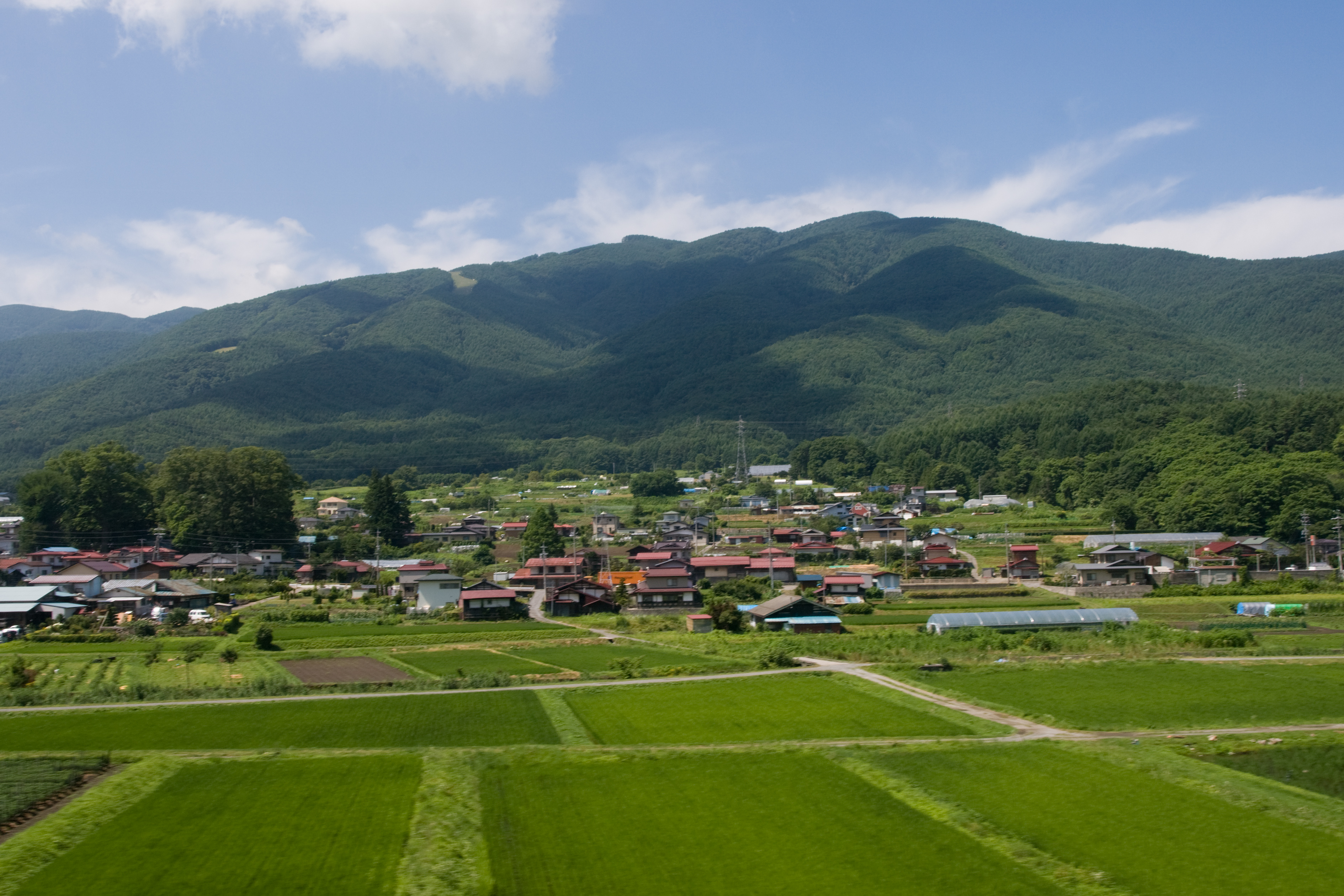
Fujimi is located in a very mountainous area within the Suwa region of east-central Nagano, and includes the Akaishi Mountains, including Mount Nyukasa (1955 meters) partly within its borders. The town has an average altitude of 977 meters[1]
Climate
The town has a climate characterized by characterized by hot and humid summers, and relatively mild winters (Köppen climate classification Cfa). The average annual temperature in Fujimi is 9.6 °C. The average annual rainfall is 1411 mm with September as the wettest month. The temperatures are highest on average in August, at around 22.3 °C, and lowest in January, at around -2.7 °C.[2]
Surrounding municipalities
Demographics
Per Japanese census data,[3] the population of Fujimi has remained relatively steady over the past 40 years.
| Year | Pop. | ±% |
|---|---|---|
| 1920 | 13,275 | — |
| 1930 | 14,997 | +13.0% |
| 1940 | 14,757 | −1.6% |
| 1950 | 18,189 | +23.3% |
| 1960 | 15,982 | −12.1% |
| 1970 | 13,796 | −13.7% |
| 1980 | 14,080 | +2.1% |
| 1990 | 14,835 | +5.4% |
| 2000 | 15,392 | +3.8% |
| 2010 | 15,338 | −0.4% |
| 2020 | 14,084 | −8.2% |
History
The area of present-day Fujimi was part of ancient Shinano Province. Fujimi Village was established on April 1, 1889 with the establishment of the modern municipalities system. On April 1, 1995 Fujimi merged with the villages of Sakai, Hongo, and Ochiai to form the town of Fujimi.
Education
Fujimi has three public elementary schools and one public middle school operated by the town government, and one public high school operated by the Nagano Prefectural Board of Education. The town also has one public special education school operated by the prefectural government
Transportation
Railway
 East Japan Railway Company - Chūō Main Line
Highway
 Chūō Expressway
 National Route 20
International relations
Local attractions
- Idojiri ruins, a Jōmon-period archaeological site and National Historic Site with on-site museum.
References
- Fuji Town official statistics(in Japanese)
- Fujimi climate data
- Fujimi population statistics
- "International Exchange". List of Affiliation Partners within Prefectures. Council of Local Authorities for International Relations (CLAIR). Archived from the original on 2 January 2017. Retrieved 21 November 2015.
External links
 Media related to Fujimi, Nagano at Wikimedia Commons
- Official Website (in Japanese)
Authority control | |
|---|---|
| General | |
| National libraries | |
| Other |
|
Nagano (capital) | |
| Core cities |
|
| Cities | |
| Districts |
|
List of mergers in Nagano Prefecture | |
This Nagano Prefecture location article is a stub. You can help Wikipedia by expanding it. |
На других языках
- [en] Fujimi, Nagano
[es] Fujimi (Nagano)
Fujimi (富士見町, Fujimi-machi?) es un pueblo en la prefectura de Nagano, Japón, localizado en la parte central de la isla de Honshū, en la región de Chūbu. Tiene una población estimada, a principios de octubre de 2021, de 14.354 habitantes.[4][ru] Фудзими (посёлок)
Фудзими (яп. 富士見町 Фудзими-мати) — посёлок в Японии, находящийся в уезде Сува префектуры Нагано. Площадь посёлка составляет 144,66 км²[1], население — 14 914 человек (1 августа 2014)[2], плотность населения — 103,10 чел./км².Другой контент может иметь иную лицензию. Перед использованием материалов сайта WikiSort.org внимательно изучите правила лицензирования конкретных элементов наполнения сайта.
WikiSort.org - проект по пересортировке и дополнению контента Википедии