world.wikisort.org - France
La Tour-du-Pin (French pronunciation: [la tuʁ dy pɛ̃] (![]() listen); Arpitan: La Tor-du-Pin) is a subprefecture of the Isère department in the Auvergne-Rhône-Alpes region in Southeastern France.[2] In 2018, the commune had a population of 8,137.
listen); Arpitan: La Tor-du-Pin) is a subprefecture of the Isère department in the Auvergne-Rhône-Alpes region in Southeastern France.[2] In 2018, the commune had a population of 8,137.
La Tour-du-Pin
La Tor-du-Pin (Arpitan) | |
|---|---|
Subprefecture and commune | |
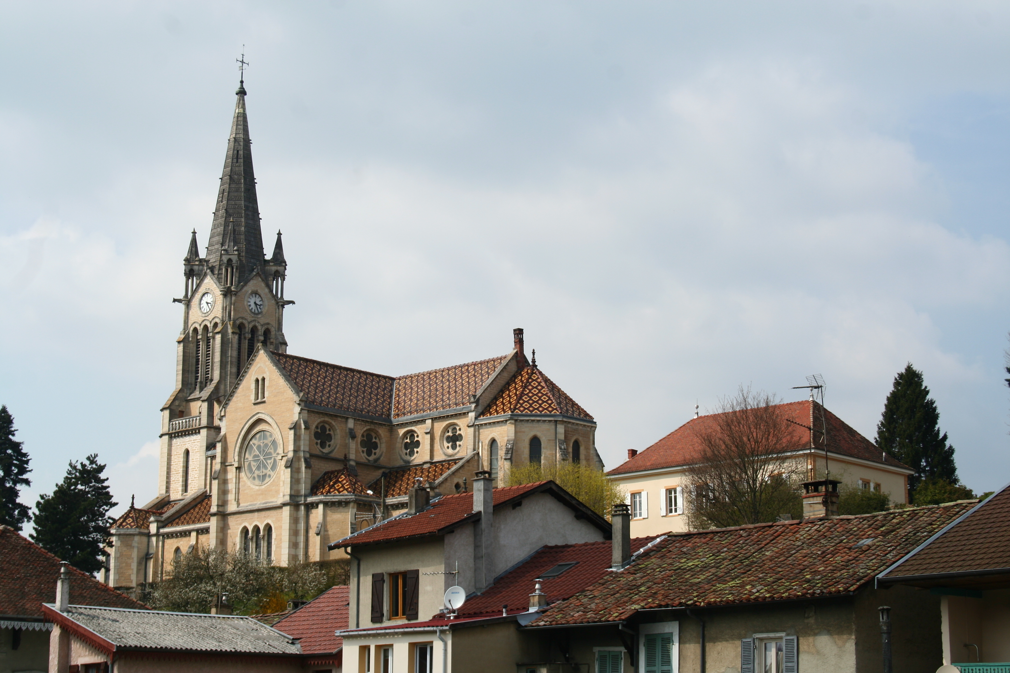 Notre-Dame de l'Assomption in La Tour-du-Pin | |
 Coat of arms | |
Location of La Tour-du-Pin  | |
 La Tour-du-Pin  La Tour-du-Pin | |
| Coordinates: 45°33′54″N 5°26′40″E | |
| Country | France |
| Region | Auvergne-Rhône-Alpes |
| Department | Isère |
| Arrondissement | La Tour-du-Pin |
| Canton | La Tour-du-Pin |
| Government | |
| • Mayor (2020–2026) | Fabien Rajon |
| Area 1 | 4.77 km2 (1.84 sq mi) |
| Population | 8,167 |
| • Density | 1,700/km2 (4,400/sq mi) |
| Time zone | UTC+01:00 (CET) |
| • Summer (DST) | UTC+02:00 (CEST) |
| INSEE/Postal code | 38509 /38110 |
| Elevation | 309–461 m (1,014–1,512 ft) (avg. 339 m or 1,112 ft) |
| 1 French Land Register data, which excludes lakes, ponds, glaciers > 1 km2 (0.386 sq mi or 247 acres) and river estuaries. | |
Geography
The Bourbre flows west through the southern part of the commune and crosses the town. The town's lowest point is at 309 m (1,013 ft) and the highest at 461 m (1,512 ft).
 Château de Tournin
 La Tour-du-Pin station
 Halles
 General view
 Subprefecture building


Population and society
|
| ||||||||||||||||||||||||||||||||||||||||||||||||||||||||||||||||||||||||||||||||||||||||||||||||||||||||||||||||||
| Source: EHESS[3] and INSEE (1968-2017)[4] | |||||||||||||||||||||||||||||||||||||||||||||||||||||||||||||||||||||||||||||||||||||||||||||||||||||||||||||||||||
Education
There are three public nursery and elementary schools (École Jean Rostand, École Albert Thevenon, and École Louis Pasteur) and one private nursery and primary school, the École St Joseph. There are also two public middle schools: the Collège Les Dauphins and the Collège Le Calloud, and one private middle school, the Collège St Bruno, there is one public high school too, the Lycée Élie Cartan, and one technical high school for learning of the horticulture.
Sport
There is a football club (FCTC), a rugby club (RCVT) and a basket-ball club (BVT).
See also
References
- "Populations légales 2019". The National Institute of Statistics and Economic Studies. 29 December 2021.
- INSEE commune file
- Des villages de Cassini aux communes d'aujourd'hui: Commune data sheet La Tour-du-Pin, EHESS. (in French)
- Population en historique depuis 1968, INSEE
Authority control | |
|---|---|
| General | |
| National libraries | |
| Other |
|
На других языках
[de] La Tour-du-Pin
Vorlage:Infobox Gemeinde in Frankreich/Wartung/abweichendes Wappen in Wikidata- [en] La Tour-du-Pin
[ru] Ла-Тур-дю-Пен
Ла-Тур-дю-Пен (фр. La Tour-du-Pin) — коммуна во Франции, находится в регионе Рона — Альпы. Департамент коммуны — Изер. Входит в состав кантона Ла-Тур-дю-Пен. Округ коммуны — Ла-Тур-дю-Пен.[1]Другой контент может иметь иную лицензию. Перед использованием материалов сайта WikiSort.org внимательно изучите правила лицензирования конкретных элементов наполнения сайта.
WikiSort.org - проект по пересортировке и дополнению контента Википедии