world.wikisort.org - France
La Mure (French pronunciation: [la myʁ]) is a commune in the Isère département in southeastern France.[2] It is located 35 km (22 mi) south of Grenoble on the plateau Matheysin.
 | This article may be expanded with text translated from the corresponding article in French. (December 2009) Click [show] for important translation instructions.
|
La Mure | |
|---|---|
Commune | |
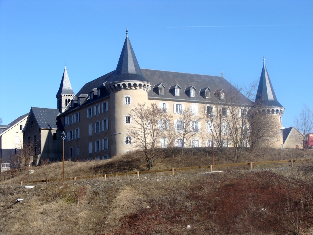
 Town hall | |
 Coat of arms | |
Location of La Mure  | |
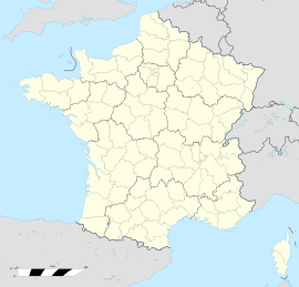  La Mure  La Mure | |
| Coordinates: 44°54′14″N 5°47′17″E | |
| Country | France |
| Region | Auvergne-Rhône-Alpes |
| Department | Isère |
| Arrondissement | Grenoble |
| Canton | Matheysine-Trièves |
| Intercommunality | La Matheysine |
| Government | |
| • Mayor (2020–2026) | Éric Bonnier |
| Area 1 | 8 km2 (3 sq mi) |
| Population | 4,920 |
| • Density | 620/km2 (1,600/sq mi) |
| Time zone | UTC+01:00 (CET) |
| • Summer (DST) | UTC+02:00 (CEST) |
| INSEE/Postal code | 38269 /38350 |
| Elevation | 720–1,204 m (2,362–3,950 ft) (avg. 886 m or 2,907 ft) |
| 1 French Land Register data, which excludes lakes, ponds, glaciers > 1 km2 (0.386 sq mi or 247 acres) and river estuaries. | |
Population
|
|
Sights
- The Chemin de fer de la Mure is a small touristic train using a railway initially built for the transportation of coal between Saint-Georges-de-Commiers and La Mure. The line was inaugurated on 24 July 1888.
- The Arboretum de Combe Noire is a nearby arboretum created by teachers and staff
Personalities
- Saint Pierre-Julien Eymard, Roman Catholic priest founder of Congregation of the Blessed Sacrament and canonized in 1962, was born in la Mure on 4 February 1811.
Neighbouring communes
International relations
La Mure is twinned with Marktredwitz, Germany.
See also
- Communes of the Isère department
- Route Napoléon
References
- "Populations légales 2019". The National Institute of Statistics and Economic Studies. 29 December 2021.
- INSEE commune file
External links

Wikimedia Commons has media related to La Mure.
- La Mure official site in French
- Site of the plateau matheysin in French
- Site of the La Mure train and railway
- La Mure official tourism office in French

Authority control | |
|---|---|
| General | |
| National libraries | |

 | This Isère geographical article is a stub. You can help Wikipedia by expanding it. |
На других языках
- [en] La Mure
[ru] Ла-Мюр
Ла-Мюр (фр. La Mure) — коммуна во Франции, находится в регионе Рона — Альпы. Департамент коммуны — Изер. Административный центр кантона Матезин-Триев. Округ коммуны — Гренобль.[1]Текст в блоке "Читать" взят с сайта "Википедия" и доступен по лицензии Creative Commons Attribution-ShareAlike; в отдельных случаях могут действовать дополнительные условия.
Другой контент может иметь иную лицензию. Перед использованием материалов сайта WikiSort.org внимательно изучите правила лицензирования конкретных элементов наполнения сайта.
Другой контент может иметь иную лицензию. Перед использованием материалов сайта WikiSort.org внимательно изучите правила лицензирования конкретных элементов наполнения сайта.
2019-2026
WikiSort.org - проект по пересортировке и дополнению контента Википедии
WikiSort.org - проект по пересортировке и дополнению контента Википедии