world.wikisort.org - USA
Murrysville, known formally by its legal name in its Charter as The Municipality of Murrysville, is designated as a home rule status community in Westmoreland County, Pennsylvania, United States. The population was 20,079 at the 2010 census. It became a home rule Municipality in August 1976, when its electorate voted for its Charter designating it a Municipality.[3]
Murrysville, Pennsylvania | |
|---|---|
 | |
 Seal | |
 Location of Murrysville in Westmoreland County, Pennsylvania. | |
 Murrysville, Pennsylvania Location within the U.S. state of Pennsylvania | |
| Coordinates: 40°26′5″N 79°39′24″W | |
| Country | United States |
| State | Pennsylvania |
| County | Westmoreland |
| Settled | 1788 (as Franklin Township) |
| Government | |
| • Mayor | Regis J. Synan |
| • Chief Administrator | James R Morrison |
| Area | |
| • Total | 36.84 sq mi (95.41 km2) |
| • Land | 36.83 sq mi (95.39 km2) |
| • Water | 0.01 sq mi (0.02 km2) |
| Elevation | 1,110 ft (338.3 m) |
| Population (2020)[2] | |
| • Total | 21,006 |
| • Density | 570.35/sq mi (220.21/km2) |
| Time zone | UTC-5 (Eastern) |
| • Summer (DST) | UTC-4 (Eastern) |
| FIPS code | 42-52432 |
| Website | www.murrysville.com |
Geography
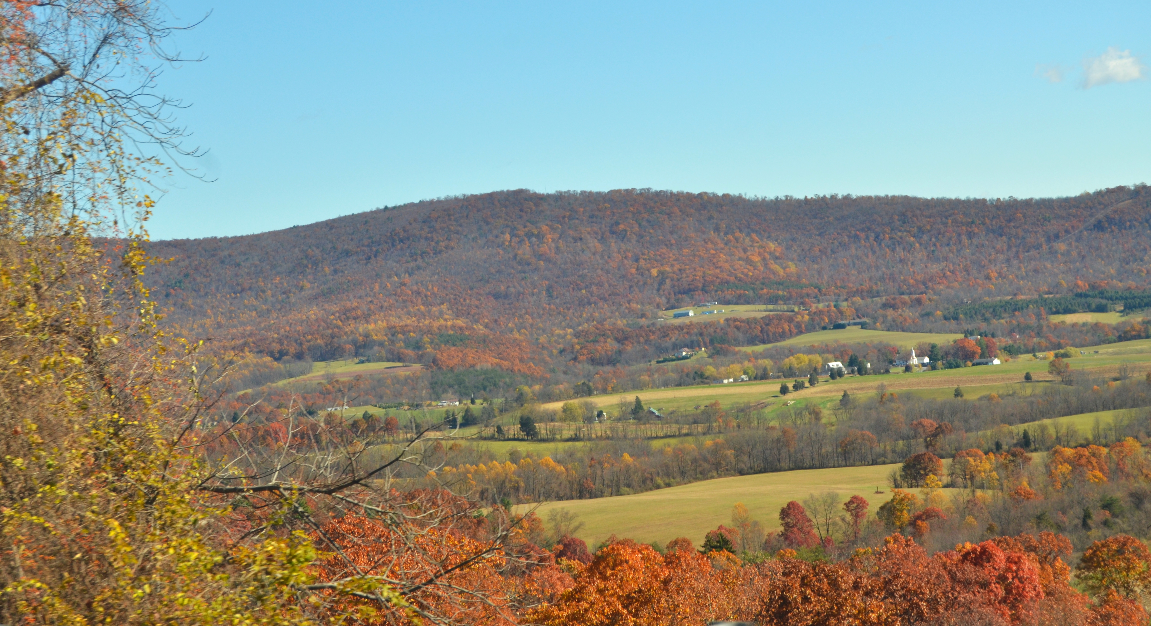
The Municipality of Murrysville is located at 40°26′5″N 79°39′24″W (40.434828, -79.656724).[4] It is roughly 20 miles east of Pittsburgh on U.S. Route 22,[5] just east of the county line that separates Westmoreland and Allegheny counties. Murrysville is a control city on the sign for eastbound US 22 at the eastern end of I-376 in Monroeville.
According to the United States Census Bureau, the Municipality had a total area of 36.9 square miles (96 km2), of which, 36.9 square miles (96 km2) of it is land and 0.03% is water.
Among the neighborhoods within Murrysville are Murrysville Heights, Heather Highlands, Franklin Estates, Settlers Ridge (The Ridge), Dunningtown, Newlonsburg, Ringertown, Sardis, and White Valley. Murrysville surrounds, but does not include, the Borough of Export, which is a separate municipal entity.
Surrounding municipalities
Murrysville has eight borders, including Upper Burrell Township to the north, Washington Township to the north and east, Salem Township to the south and southeast, Delmont to the southeast, Penn Township to the south, and the Allegheny County municipalities of Monroeville to the southwest and Plum to the west. The borough of Export is situated inside Murrysville in the south-southeast section.
Government
The Municipality of Murrysville is governed by a mayor (currently Regis J. Synan)[6] who is elected every two years and has executive/administrative powers, and a seven-member council, whose members are elected every four years and have precise legislative powers.[7]
In the mid-1970s, as suburban growth began to occur, the community rapidly transitioned through three forms of government (township, borough, and home rule) and four legal name changes (Franklin Township, Franklin Borough, Murrysville Borough, and Municipality of Murrysville). Since 1976, it has operated under its Home Rule Charter as the Municipality of Murrysville.
Demographics
As of the census[8] of 2000, there were 18,872 people, 7,083 households, and 5,630 families located in the municipality. The population density was 511.0 people per square mile (197.3/km2). There were 7,396 housing units at an average density of 200.3 per square mile (77.3/km2). The racial makeup of the Municipality was 95.38% White, 0.61% African American, 0.05% Native American, 3.28% Asian, 0.01% Pacific Islander, 0.16% from other races, and 0.50% from two or more races. Hispanic or Latino of any race were 0.56% of the population.
There were 7,083 households, out of which 34.5% had children under the age of 18 living with them, 71.8% were married couples living together, 5.5% had a female householder with no husband present, and 20.5% were non-families. 18.4% of all households were made up of individuals, and 9.0% had someone living alone who was 65 years of age or older. The average household size was 2.63 and the average family size was 3.01.
| Historical population | |||
|---|---|---|---|
| Census | Pop. | %± | |
| 1880 | 81 | — | |
| 1930 | 3,535 | — | |
| 1940 | 3,797 | 7.4% | |
| 1950 | 4,937 | 30.0% | |
| 1960 | 8,517 | 72.5% | |
| 1970 | 12,244 | 43.8% | |
| 1980 | 16,036 | 31.0% | |
| 1990 | 17,240 | 7.5% | |
| 2000 | 18,872 | 9.5% | |
| 2010 | 20,079 | 6.4% | |
| 2020 | 21,006 | 4.6% | |
| source:,[9][10][2] | |||

In the Municipality population was spread out, with 24.9% under the age of 18, 4.9% from 18 to 24, 24.3% from 25 to 44, 30.3% from 45 to 64, and 15.6% who were 65 years of age or older. The median age was 43 years. For every 100 females, there were 97.9 males. For every 100 females age 18 and over, there were 93.1 males.
The median income for a household in the Municipality was $64,071, and the median income for a family was $72,740. Males had a median income of $58,553 versus $32,567 for females. The per capita income for the Municipality was $32,017. About 2.2% of families and 2.8% of the population were below the poverty line, including 3.1% of those under age 18 and 3.9% of those age 65 or over.
Education
The Municipality of Murrysville is within the Franklin Regional School District. The district operates five schools: three elementary (Sloan, Heritage, Newlonsburg), Franklin Regional Middle School, and Franklin Regional High School, with Dr. Gennaro Piraino as the district's superintendent.[11] The district's high school boasts a graduation rate of 99.3% compared to the national average for public high schools of 82% [12] and is ranked #213 in Newsweek's 2016 "America's Top High Schools".[13] Private schools include Mother of Sorrows Catholic School. The Free Gospel Bible Institute (FGBI), a Holiness Pentecostal bible college, is located in Murrysville.[14]
Notable people
- Julie Benz (born 1972), actress
- Jeremiah Burrell (1815–1856), Western Pennsylvania lawyer and judge
- Bobby Engram (born 1973), Seattle Seahawks wide receiver; San Francisco 49ers assistant offensive coordinator
- Eli Evankovich (born 1982), PA House of Representatives, 54th District
- Tom Flynn (born 1962), defensive back for Green Bay Packers and New York Giants
- Josiah Given (1828–1908) attorney, soldier and Supreme Court justice of Iowa
- Brooke Hyland (born 1998), former star on Dance Moms
- Paige Hyland (born 2000), former star on Dance Moms
- Spencer Lee (born 1998), multi-year World Champion in freestyle wrestling, multi-year National Champion in NCAA wrestling at University of Iowa
- Ken Macha (born 1950), Milwaukee Brewers manager
- Robert Moose (1947–1976), Pittsburgh Pirates, pitcher 1967–1976
- Manu Narayan (born 1973), actor
- Candace Otto (born 1980), Miss Pennsylvania 2003
- Maddie Ziegler (born 2002), dancer and actress [15]
- Mackenzie Ziegler (born 2004), dancer, singer, model and actress[15]
Local features

The Haymaker Gas Well in Murrysville was the nation's first commercial natural gas well. For some time, it remained the largest commercial gas well in the world.[16] Murrysville was described in the first half of the 20th century as being "the center of a district dotted with gas wells, the first of which was bored in 1878; wild speculation in leases precipitated the open conflict known as the 'Haymaker Riots,' named for the speculator killed in one of them."[17]
Since 1933, Murrysville has had a "tree sign" spelling out the word "Murrysville". The trees were landscaped to grow and form the letters by local Boy Scouts. The sign is situated on a large hill as one enters the Municipality from the Murrysville–Monroeville border, near U.S. Route 22. In 1947, the sign was featured in "Ripley's Believe It Or Not" as the world's largest arboreal sign.[18] (It is no longer the world's largest, or even the largest in the country; "Luecke", near San Antonio, Texas, is much larger.) The "Y" in the Murrysville sign points to the Haymaker Gas Well.
In 1977, Murrysville was designated the "Gateway to Westmoreland County" by Mayor Walt Dollman in conjunction with the Chamber of Commerce. In 2012, community leaders upgraded sign and landscaping elaborately at the main entrance at the Allegheny / Westmoreland border featuring this designation. As is shown at the introduction of this page, the Gateway designation is featured on the official Seal of the Municipality.
See also
- Westmoreland Conservancy
References
- "ArcGIS REST Services Directory". United States Census Bureau. Retrieved October 12, 2022.
- "Census Population API". United States Census Bureau. Retrieved Oct 12, 2022.
- Population Estimates Boundary Changes Archived 2006-02-06 at the Wayback Machine, United States Census Bureau, 2007-07-01. Accessed 2008-11-06.
- "US Gazetteer files: 2010, 2000, and 1990". United States Census Bureau. 2011-02-12. Retrieved 2011-04-23.
- "Murrysville: United States". Geographical names. Retrieved 2014-04-09.
- "Welcome from the Mayor". The Municipality of Murrysville. Retrieved 2018-02-01.
- Murrysville Council Archived 2012-05-12 at the Wayback Machine
- "U.S. Census website". United States Census Bureau. Retrieved 2008-01-31.
- "Land Patterns" (PDF). Municipality of Murrysville. Archived from the original (PDF) on August 8, 2004. Retrieved 2007-10-26.
- "About Murrysville". Municipality of Murrysville. Archived from the original on 2013-11-02. Retrieved 2011-03-09.
- "Franklin Regional School District". Retrieved 25 January 2020.
- http://www.ed.gov/news/press-releases/us-high-school-graduation-rate-hits-new-record-high-0 U.S. High School Graduation Rate Hits New Record High | US Department of Education
- http://www.newsweek.com/high-schools/americas-top-high-schools-2016 America's Top High Schools 2016 | Newsweek
- Scott, Rebekah (5 January 2006). "Murrysville Bible school produces teachers, preachers, prophets and apostles". Pittsburgh Post-Gazette. Retrieved 17 June 2022.
- Rouvalis, Christina (October 21, 2013). "Inside the 'Dance Moms' Empire". Pittsburgh Magazine. Retrieved May 21, 2017.
- "Murrysville Gas Well Historical Marker". ExplorePAHistory.com. Retrieved 25 January 2020.
- Federal Writers' Project (1940). Pennsylvania: A Guide to the Keystone State (1st ed.). New York: Oxford University Press. p. 394.
- Cleary, Caitlin (2005-06-06). "Murrysville landmark is fading from view". Pittsburgh Post-Gazette.
External links
- Municipality website
- Murrysville's official Community Magazine
- Murrysville Economic and Community Development Corporation
- The Murrysville Star
- Murrysville Business Directory
- News articles about the Murrysville tree sign and efforts to restore it: Pittsburgh Post-Gazette, February 16, 2006
- Penn-Franklin News, based in Murrysville
Pittsburgh–New Castle–Weirton combined statistical area | ||
| Counties |  | |
| Major cities | ||
| Cities and towns 15k–50k (in 2010) | ||
| Airports | ||
| Topics |
| |
| ||

Authority control | |
|---|---|
| General | |
| National libraries | |
На других языках
[de] Murrysville
Murrysville ist eine Gemeinde (Home Rule Municipality) im Westmoreland County im US-Bundesstaat Pennsylvania. Laut Volkszählung im Jahr 2020 hatte sie eine Einwohnerzahl von 21.006 auf einer Fläche von 95,4 km². Sie ist Teil der Metropolregion Pittsburgh.- [en] Murrysville, Pennsylvania
[ru] Меррисвилл
Меррисвилл — город, расположенный восточнее Питтсбурга, в округе Уэстморленд, штат Пенсильвания, США.Другой контент может иметь иную лицензию. Перед использованием материалов сайта WikiSort.org внимательно изучите правила лицензирования конкретных элементов наполнения сайта.
WikiSort.org - проект по пересортировке и дополнению контента Википедии