world.wikisort.org - USA
Seward is a borough in Westmoreland County, Pennsylvania, United States. The population was 495 at the 2010 census. It is also one of three communities within the county to utilise the 814 area code, alongside St. Clair and New Florence.
Seward, Pennsylvania | |
|---|---|
Borough | |
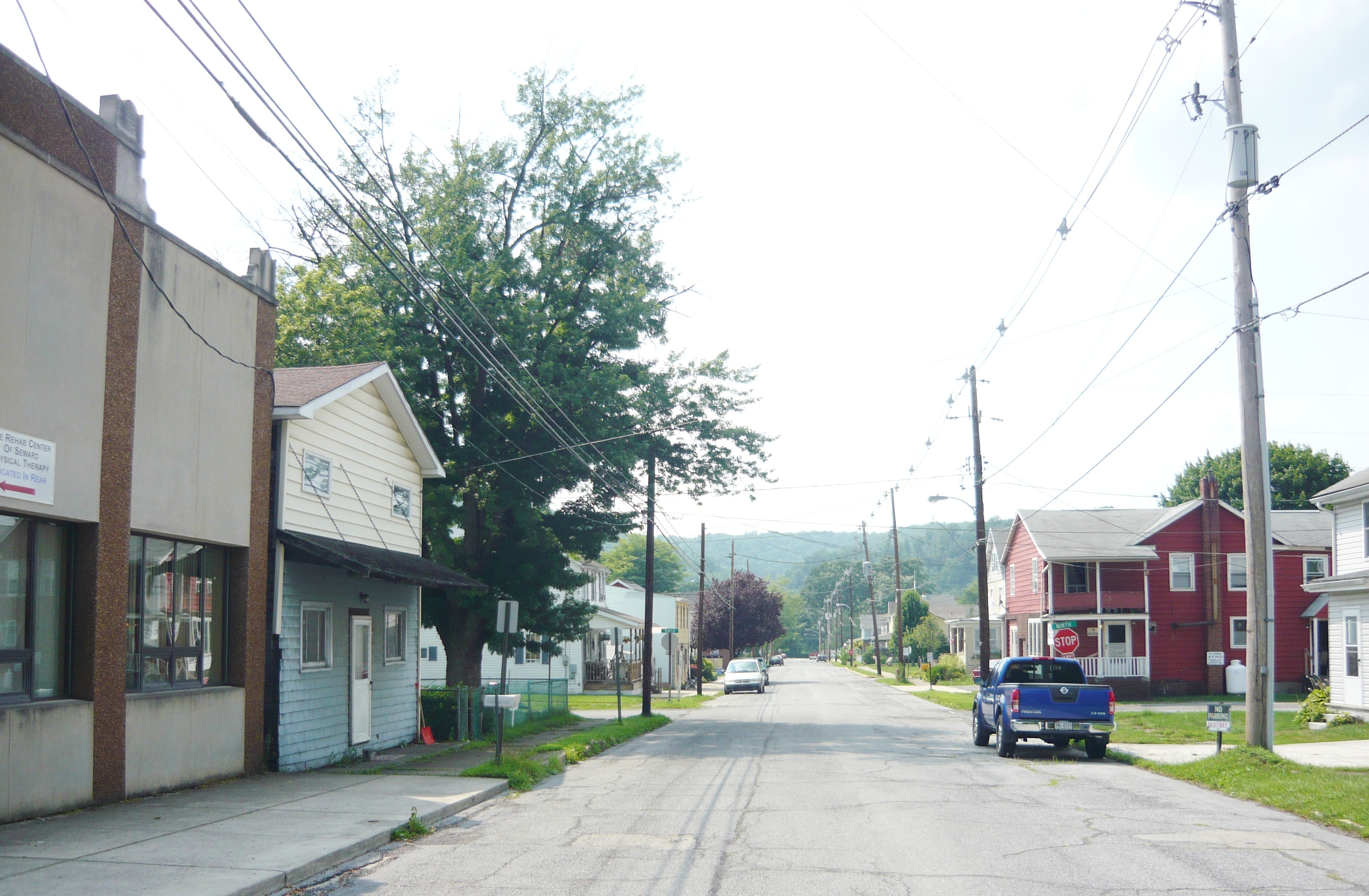 Indiana Street | |
 Location of Seward in Westmoreland County, Pennsylvania. | |
 Seward, Pennsylvania | |
| Coordinates: 40°24′53″N 79°01′22″W | |
| Country | United States |
| State | Pennsylvania |
| County | Westmoreland |
| Incorporated | January 23, 1904 |
| Government | |
| • Type | Borough Council |
| Area | |
| • Total | 0.20 sq mi (0.52 km2) |
| • Land | 0.20 sq mi (0.52 km2) |
| • Water | 0.00 sq mi (0.00 km2) |
| Elevation | 1,135 ft (346 m) |
| Population (2010) | |
| • Total | 495 |
| • Estimate (2019)[2] | 462 |
| • Density | 2,287.13/sq mi (882.78/km2) |
| Time zone | UTC-5 (Eastern (EST)) |
| • Summer (DST) | UTC-4 (EDT) |
| Zip code | 15954 |
| Area code(s) | 724, 814 |
| FIPS code | 42-69368 |
Geography
Seward is located at 40°24′53″N 79°1′22″W (40.414759, -79.022856).[3]
According to the United States Census Bureau, the borough has a total area of 0.2 square miles (0.52 km2), all of it land.
Seward is entirely surrounded by St. Clair Township
The community was impacted by the Johnstown flood of 1977. Seven people died in Seward. [4]
Demographics
| Historical population | |||
|---|---|---|---|
| Census | Pop. | %± | |
| 1910 | 548 | — | |
| 1920 | 657 | 19.9% | |
| 1930 | 742 | 12.9% | |
| 1940 | 845 | 13.9% | |
| 1950 | 852 | 0.8% | |
| 1960 | 754 | −11.5% | |
| 1970 | 746 | −1.1% | |
| 1980 | 675 | −9.5% | |
| 1990 | 522 | −22.7% | |
| 2000 | 484 | −7.3% | |
| 2010 | 495 | 2.3% | |
| 2019 (est.) | 462 | [2] | −6.7% |
| Sources:[5][6][7] | |||
At the 2000 census there were 484 people, 199 households, and 129 families living in the borough. The population density was 2,255.1 people per square mile (889.9/km²). There were 226 housing units at an average density of 1,053.0 per square mile (415.5/km²). The racial makeup of the borough was 99.17% White, 0.21% African American, and 0.62% from two or more races. Hispanic or Latino of any race were 0.21%.[6]
Of the 199 households 22.6% had children under the age of 18 living with them, 54.8% were married couples living together, 7.5% had a female householder with no husband present, and 34.7% were non-families. 30.7% of households were one person and 19.1% were one person aged 65 or older. The average household size was 2.36 and the average family size was 2.91.
The age distribution was 20.5% under the age of 18, 5.8% from 18 to 24, 26.7% from 25 to 44, 25.8% from 45 to 64, and 21.3% 65 or older. The median age was 43 years. For every 100 females, there were 94.4 males. For every 100 females age 18 and over, there were 94.4 males.
The median household income was $29,583 and the median family income was $38,500. Males had a median income of $32,083 versus $18,333 for females. The per capita income for the borough was $14,585. About 4.9% of families and 12.2% of the population were below the poverty line, including 15.7% of those under age 18 and 21.6% of those age 65 or over.
References
- "2019 U.S. Gazetteer Files". United States Census Bureau. Retrieved July 28, 2020.
- "Population and Housing Unit Estimates". United States Census Bureau. May 24, 2020. Retrieved May 27, 2020.
- "US Gazetteer files: 2010, 2000, and 1990". United States Census Bureau. 2011-02-12. Retrieved 2011-04-23.
- "1977 flood | Years of efforts rebuilt the town, but impact – and stories – are still felt".
- "Census of Population and Housing". U.S. Census Bureau. Retrieved 11 December 2013.
- "U.S. Census website". United States Census Bureau. Retrieved 2008-01-31.
- "Incorporated Places and Minor Civil Divisions Datasets: Subcounty Resident Population Estimates: April 1, 2010 to July 1, 2012". Population Estimates. U.S. Census Bureau. Archived from the original on 11 June 2013. Retrieved 11 December 2013.

Pittsburgh–New Castle–Weirton combined statistical area | ||
| Counties |  | |
| Major cities | ||
| Cities and towns 15k–50k (in 2010) | ||
| Airports | ||
| Topics |
| |
| ||
Другой контент может иметь иную лицензию. Перед использованием материалов сайта WikiSort.org внимательно изучите правила лицензирования конкретных элементов наполнения сайта.
WikiSort.org - проект по пересортировке и дополнению контента Википедии