world.wikisort.org - United_Kingdom
Catfield is a village[1] and a civil parish in the English county of Norfolk. The village is 19.7 miles (31.7 km) south-east of Cromer, 17.3 miles (27.8 km) north-east of Norwich and 136 miles (219 km) north-east of London. The village lies 2.7 miles (4.3 km) south-south-east of the nearby town of Stalham. The nearest railway station is at Worstead for the Bittern Line which runs between Sheringham, Cromer and Norwich. The nearest airport is Norwich International Airport. The village is situated a little west of the A149 King’s Lynn to Great Yarmouth road.[2] The parish had in 2001 census, a population of 848, increasing to 943 at the 2011 Census.[3] For the purposes of local government, the parish falls within the district of North Norfolk.
| Catfield | |
|---|---|
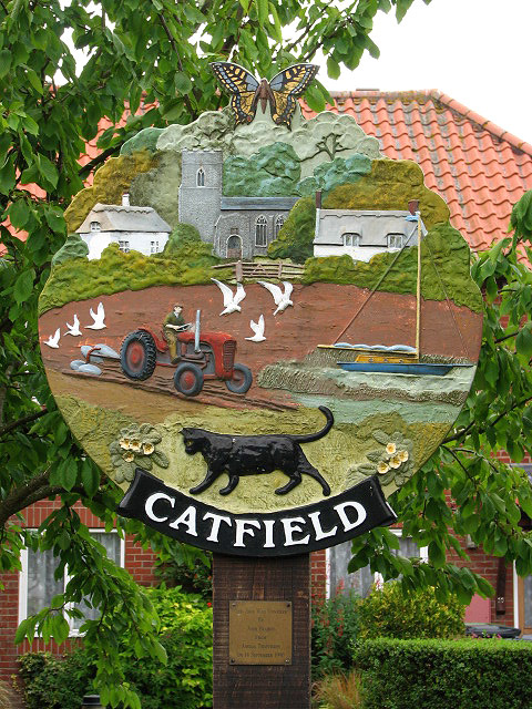 The Village sign, Catfield, Norfolk | |
 Catfield Location within Norfolk | |
| Area | 10.02 km2 (3.87 sq mi) |
| Population | 943 (parish, 2011 census) |
| • Density | 94/km2 (240/sq mi) |
| OS grid reference | TG380210 |
| • London | 136 miles (219 km) |
| Civil parish |
|
| District |
|
| Shire county |
|
| Region | |
| Country | England |
| Sovereign state | United Kingdom |
| Post town | GREAT YARMOUTH |
| Postcode district | NR29 |
| Dialling code | 01692 |
| Police | Norfolk |
| Fire | Norfolk |
| Ambulance | East of England |
| UK Parliament |
|
History
The villages name origin is uncertain but is thought to mean 'Kati's open land' or perhaps, less likely, 'wild cat open land'.
Catfield has an entry in the Domesday Book of 1085.[4] In the great book Catfield is recorded by the names Cate(s)felda, the main landholders being Roger Bigod and Count Alan.
The farm-worker and celebrated traditional singer Harry Cox was a resident of the village.
Church of All Saints
The parish church of Catfield is called All Saints. Most of the building dates from the 14th century.[5] On the rood screen there are sixteen paintings of kings.[6] On the north wall of the sanctuary there is a tablet by the sculptor William Groves depicting a peepul tree at the top and a sheathed sword below dedicated to Lt Thomas Cubitt who died in 1848. Cubitt, who was a soldier died in his country’s cause before Multan, a town in the Punjab, India. The church is a Grade I listed building[7]
References
- OS Explorer Map OL40 The Broads. ISBN 0-319-23769-9
- County A to Z Atlas, Street & Road maps Norfolk, Page 229, ISBN 978-1-84348-614-5
- "Parish population 2011". Retrieved 25 August 2015.
- The Domesday Book, Englands Heritage, Then and Now, Editor: Thomas Hinde,Norfolk page 188, Catfield, ISBN 1-85833-440-3
- The Popular Guide to Norfolk Churches,1:North-East Norfolk, By D.P. Mortlock & C.V. Roberts, 1981, Pub:Acorn Editions, Page 24 catfield All saints, ISBN 0-906554-04-7
- Norfolk 1: Norwich and North-East, By Nikolaus Pevsner and Bill Wilson, Catfield entry. ISBN 0-300-09607-0
- "Images of England". English Heritage.
http://kepn.nottingham.ac.uk/map/place/Norfolk/Catfield
External links
![]() Media related to Catfield at Wikimedia Commons
Media related to Catfield at Wikimedia Commons
Authority control | |
|---|---|
| General |
|
| National libraries | |
This Norfolk location article is a stub. You can help Wikipedia by expanding it. |
Другой контент может иметь иную лицензию. Перед использованием материалов сайта WikiSort.org внимательно изучите правила лицензирования конкретных элементов наполнения сайта.
WikiSort.org - проект по пересортировке и дополнению контента Википедии